Uphill
246m
Length
12km
Duration
3h30min
Elev gain
246m
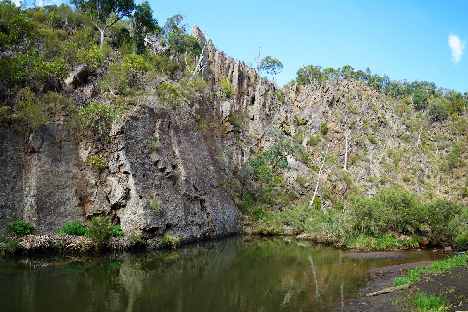
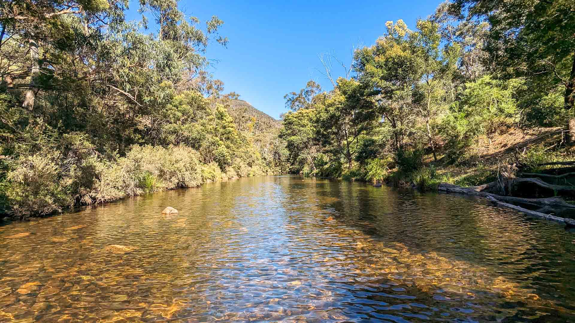
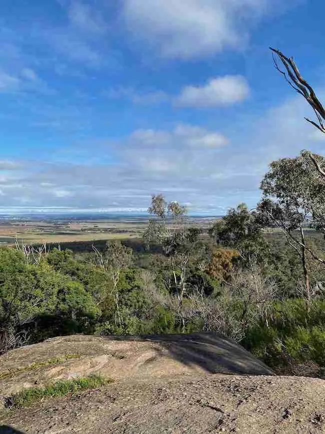
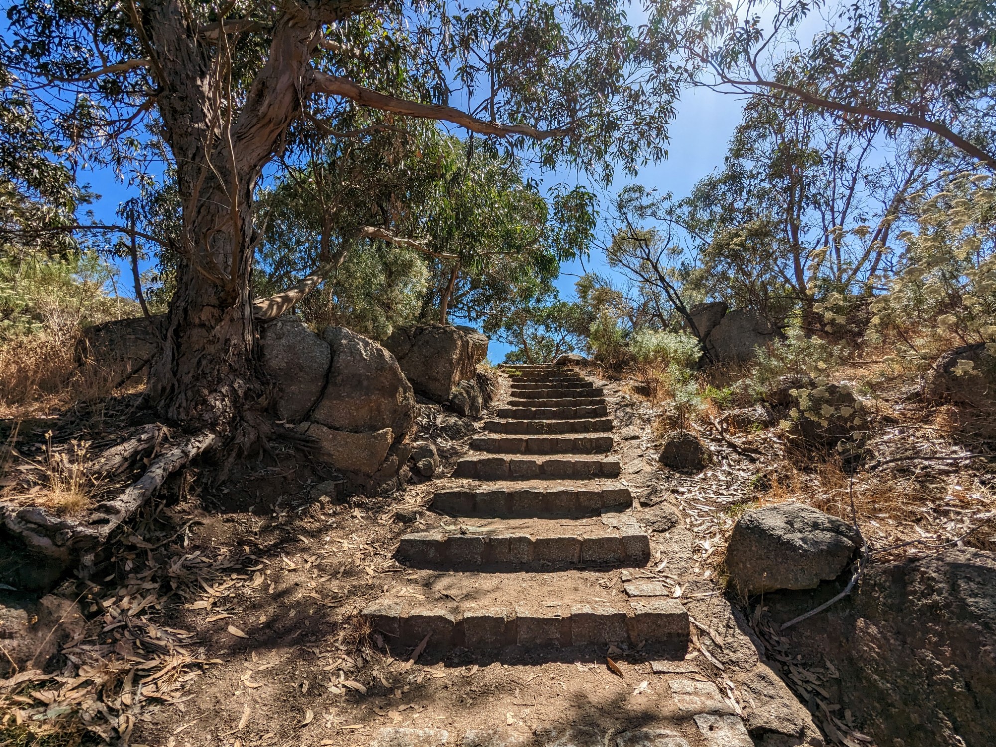
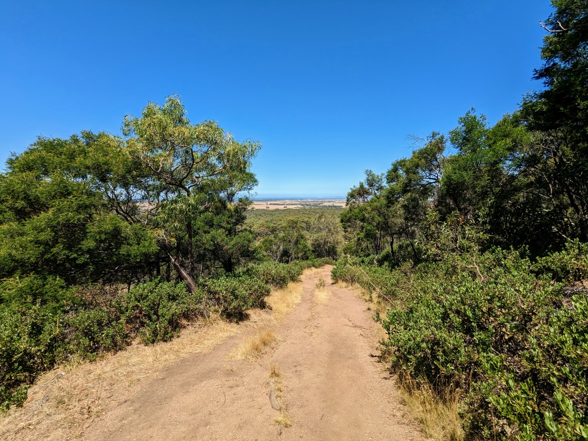
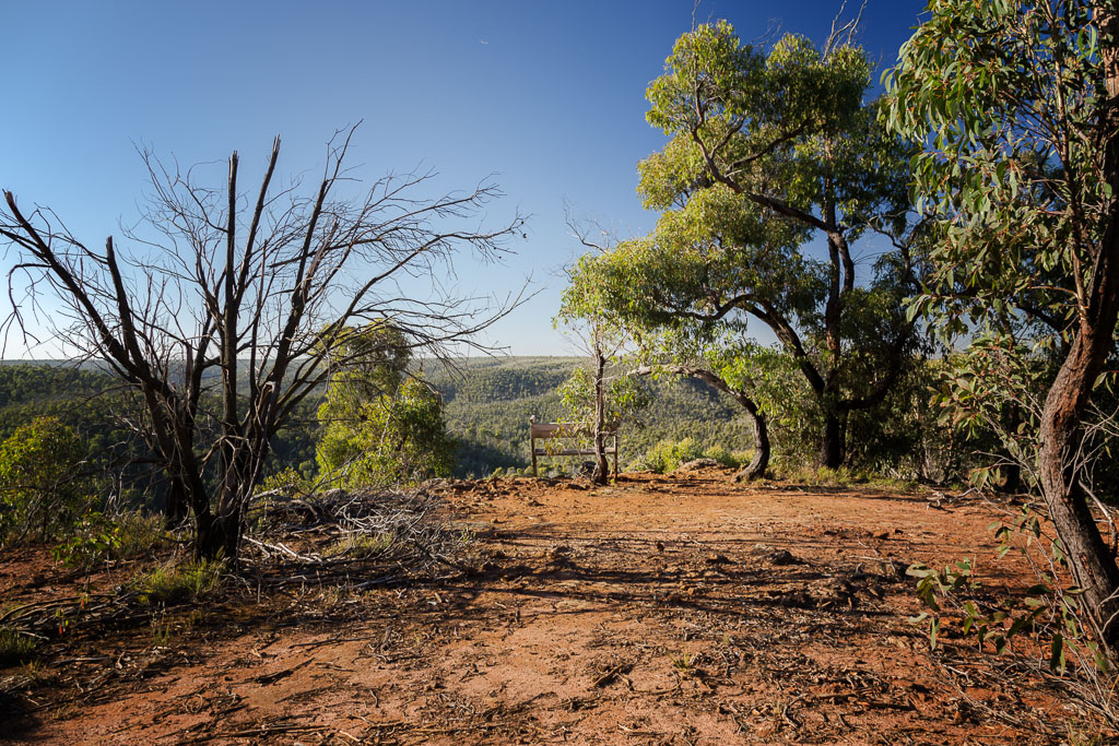
This is a great loop in the bush in the Brisbane Ranges National Park. The trail is often done clockwise, with its steep passage out of the way first. The dry landscape is rich with native flora and fauna, making the hike quaint and peaceful. At the top, the views are far reaching over the hilly forested landscape that extends for miles.

Already more than 200,000 users!
Uphill
246m
Highest point
370m
Downhill
246m
Lowest point
189m
Route type
Loop
Download the map on your smartphone to save battery and rest assured to always keep access to the route, even without signal.
Includes IGN France and Swisstopo.
I indicate whether dogs are allowed or prohibited on this trail
All year
0 ratings
Also enjoy:

Already more than 200,000 users!