Uphill
368m
Length
8km
Duration
3h
Elev gain
368m
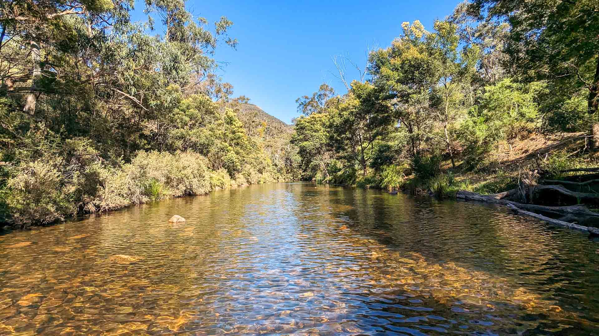
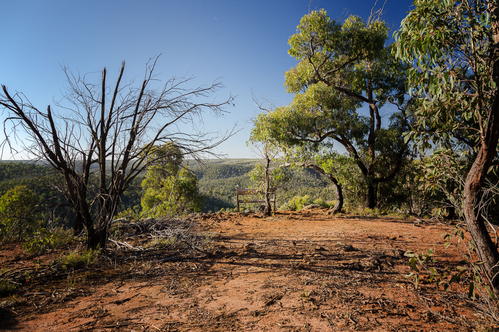
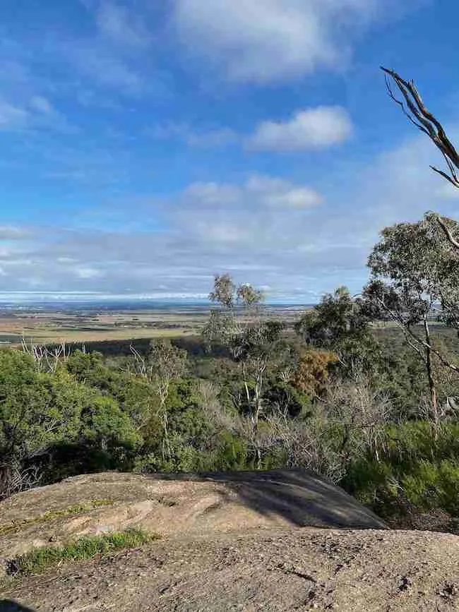
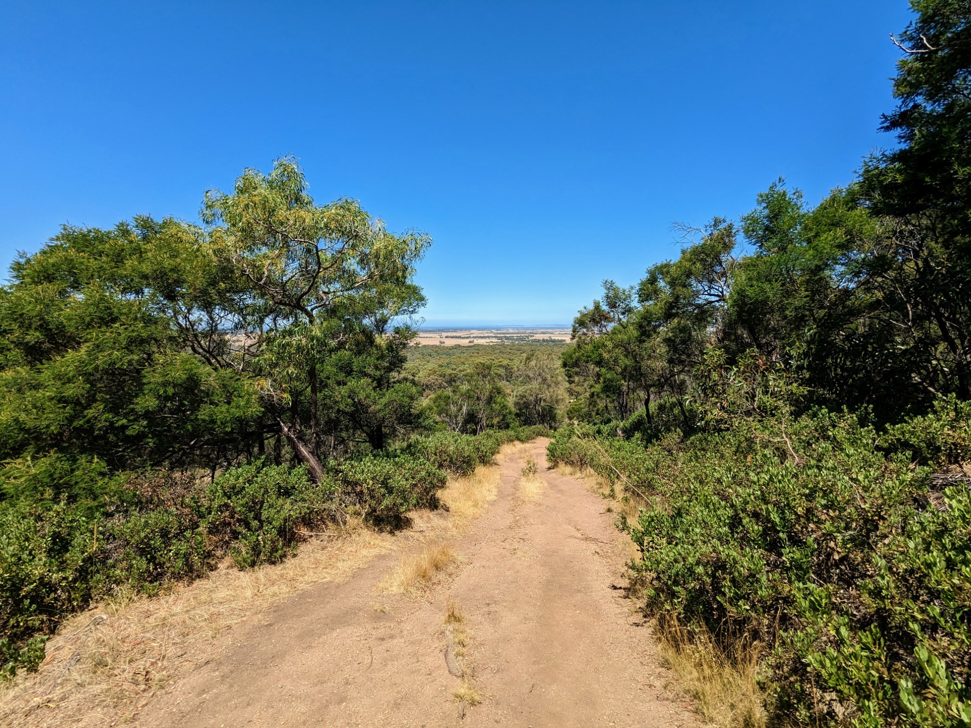
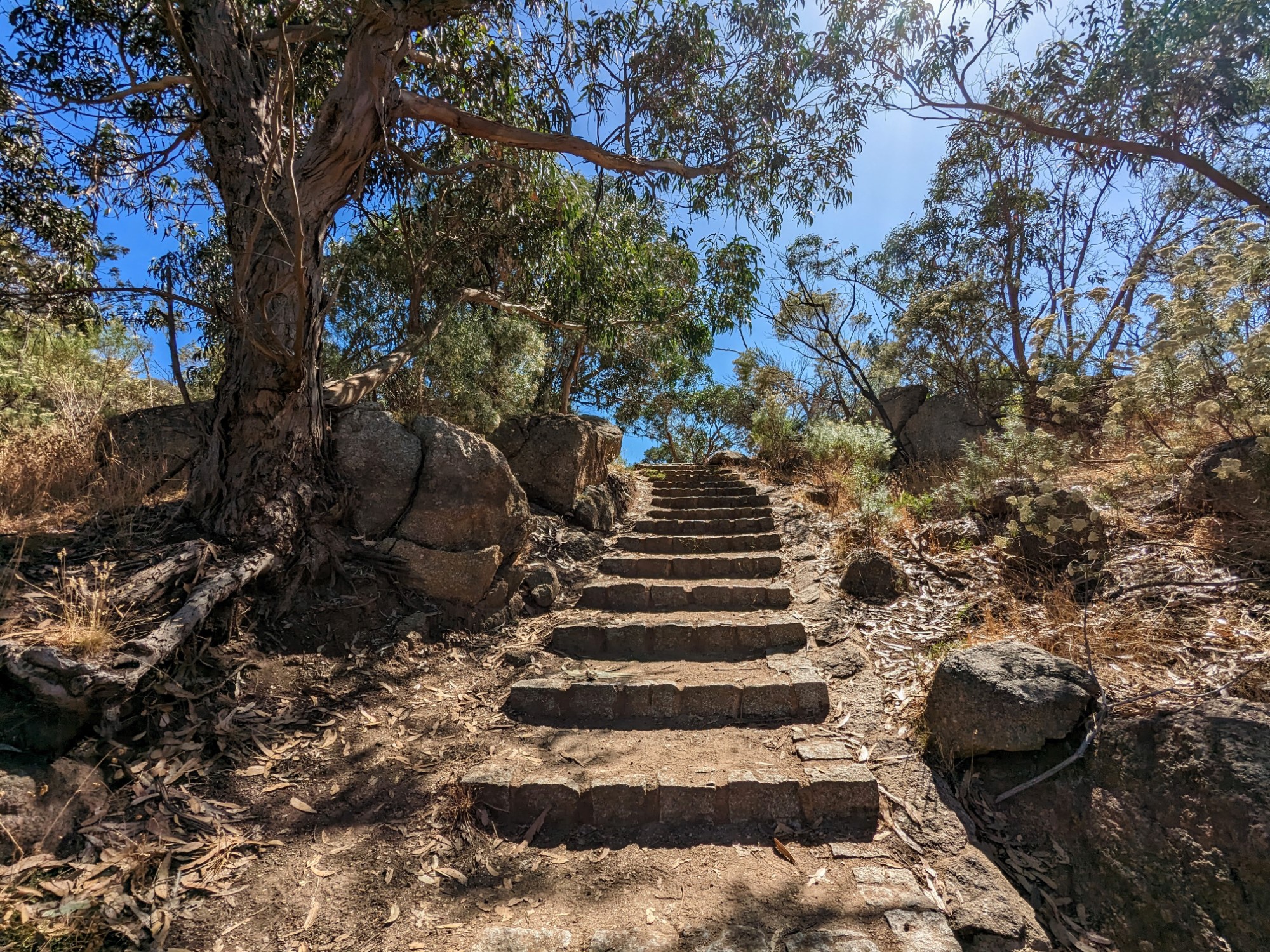
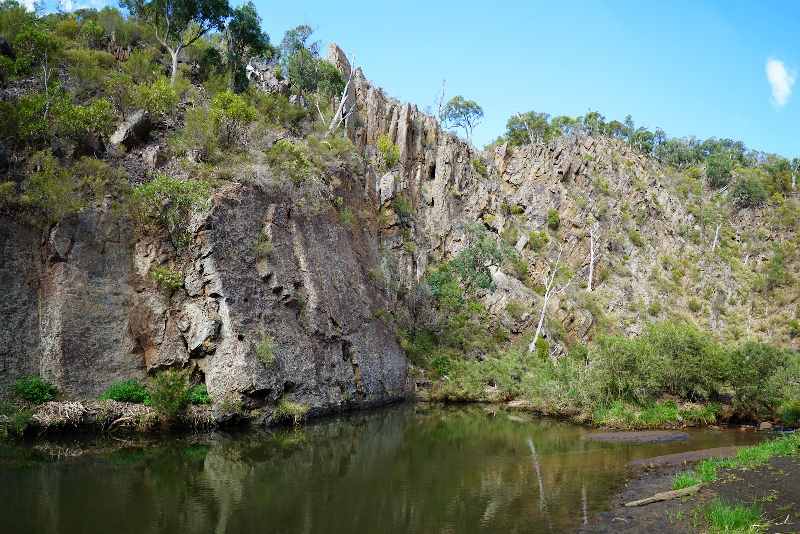
This is a great loop in the Werribee Gorge State Park, an hour west of Melbourne. The track is best undertaken anticlockwise beginning at Meikles Point Picnic Area and following the Werribee River. The path is relatively straight forward but there are a few tricky sections, especially one with metal cables, but nothing too difficult. The landscape varies between open views of the lush mountains in the distance and great river swimming spots such as Lionshead and Needles Beach.
The Wadawurrung and Wurundjeri Peoples are the Traditional Owners of the land in the region of Werribee Gorge State Park.

Already more than 200,000 users!
Uphill
368m
Highest point
356m
Downhill
368m
Lowest point
142m
Route type
Loop
Download the map on your smartphone to save battery and rest assured to always keep access to the route, even without signal.
Includes IGN France and Swisstopo.
I indicate whether dogs are allowed or prohibited on this trail
All year
0 ratings
Also enjoy:

Already more than 200,000 users!