Uphill
338m
Length
8km
Duration
3h
Elev gain
338m
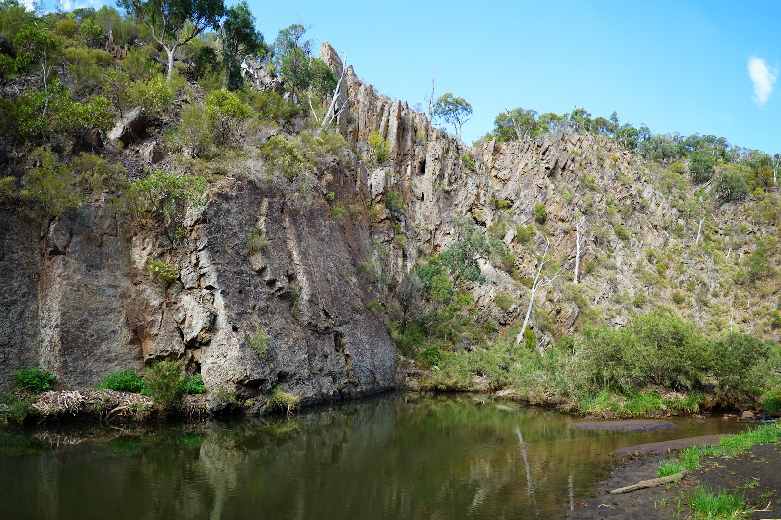
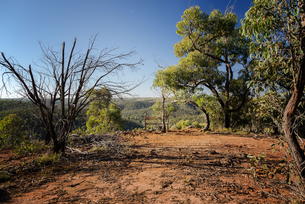
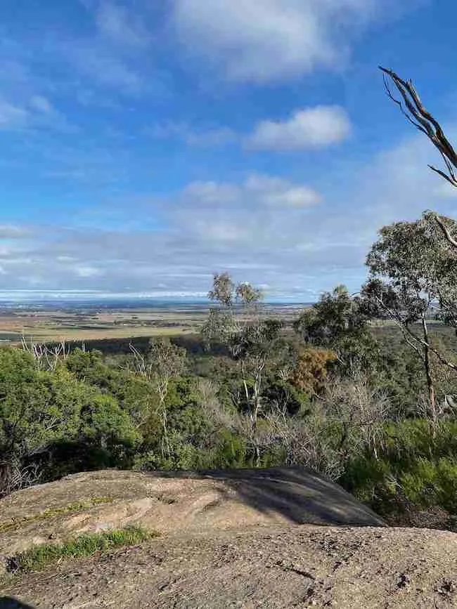
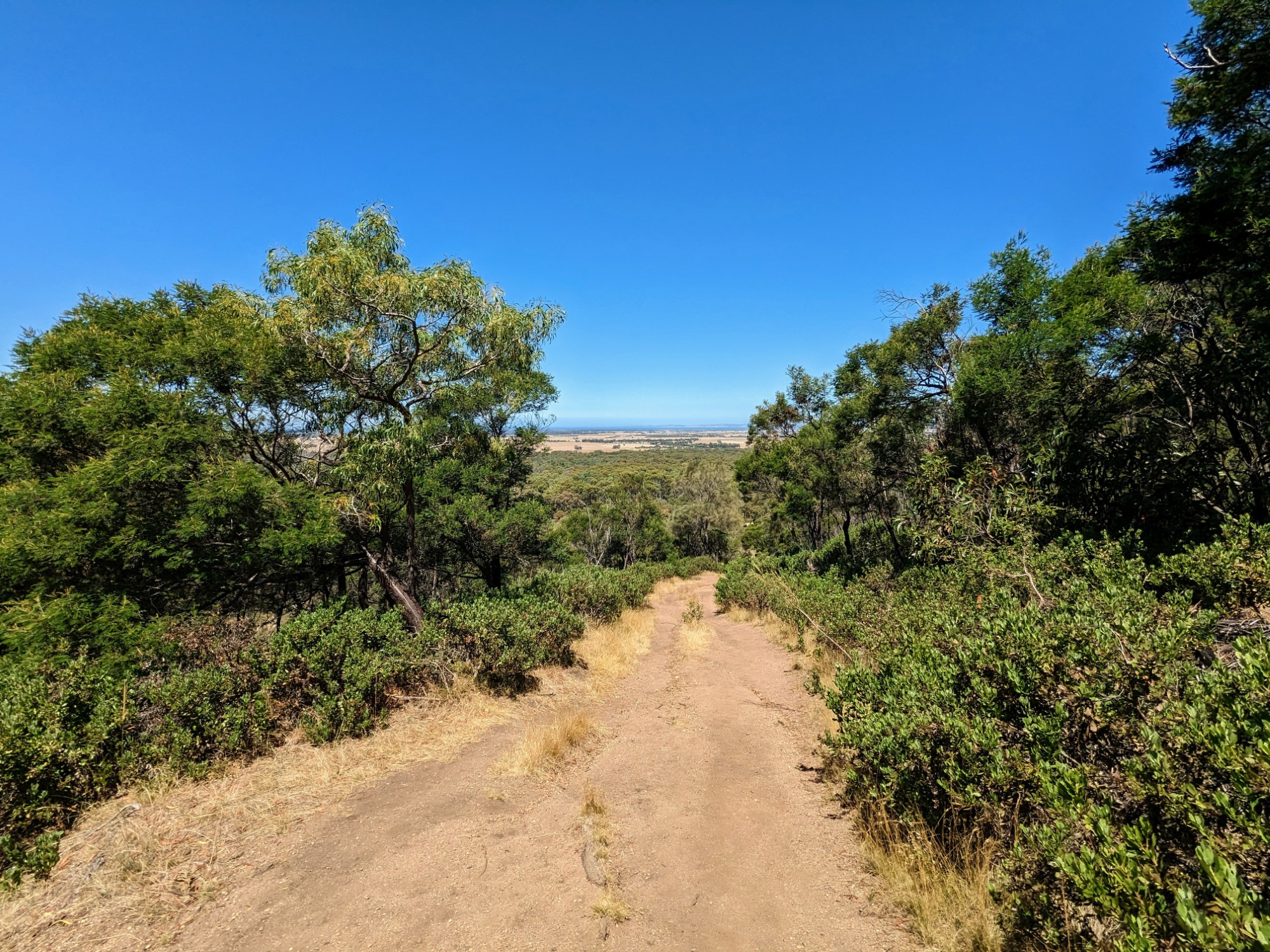
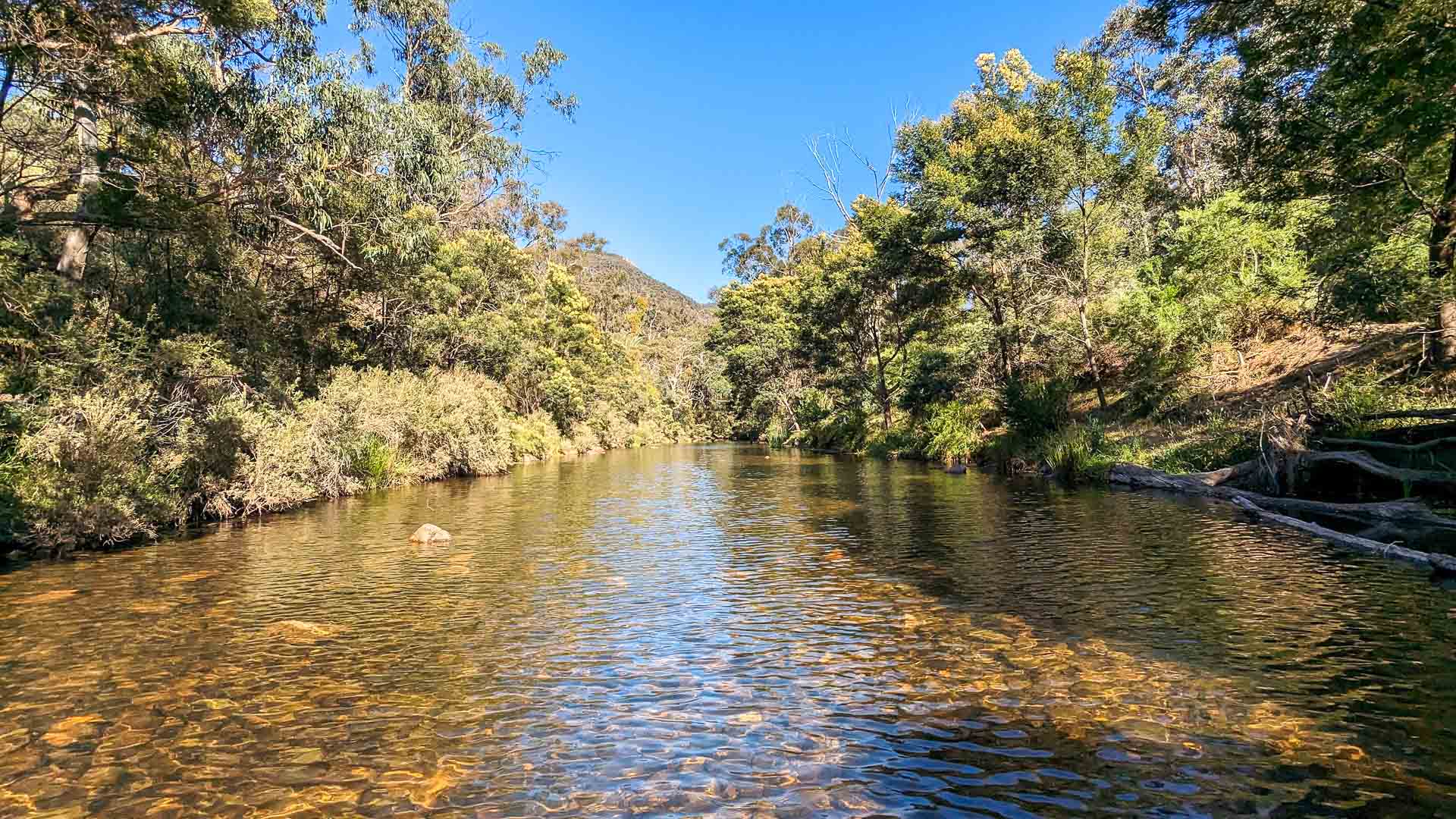
Discover this beautiful loop trail in Lerderderg State Park, an hour away from Melbourne. The trail begins by the Mackenzies Flat Picnic Area and offers great views of the Lerderderg river and the mountains around. There are some steep passages, the terrain can be rocky and there are several river crossings, shoes might get quite wet! The views and wild landscape still make this hike well worth the effort.

Already more than 200,000 users!
Uphill
338m
Highest point
446m
Downhill
338m
Lowest point
133m
Route type
Loop
Download the map on your smartphone to save battery and rest assured to always keep access to the route, even without signal.
Includes IGN France and Swisstopo.
I indicate whether dogs are allowed or prohibited on this trail
All year
0 ratings
Also enjoy:

Already more than 200,000 users!