Uphill
626m

Length
18km
Duration
6h
Elev gain
626m
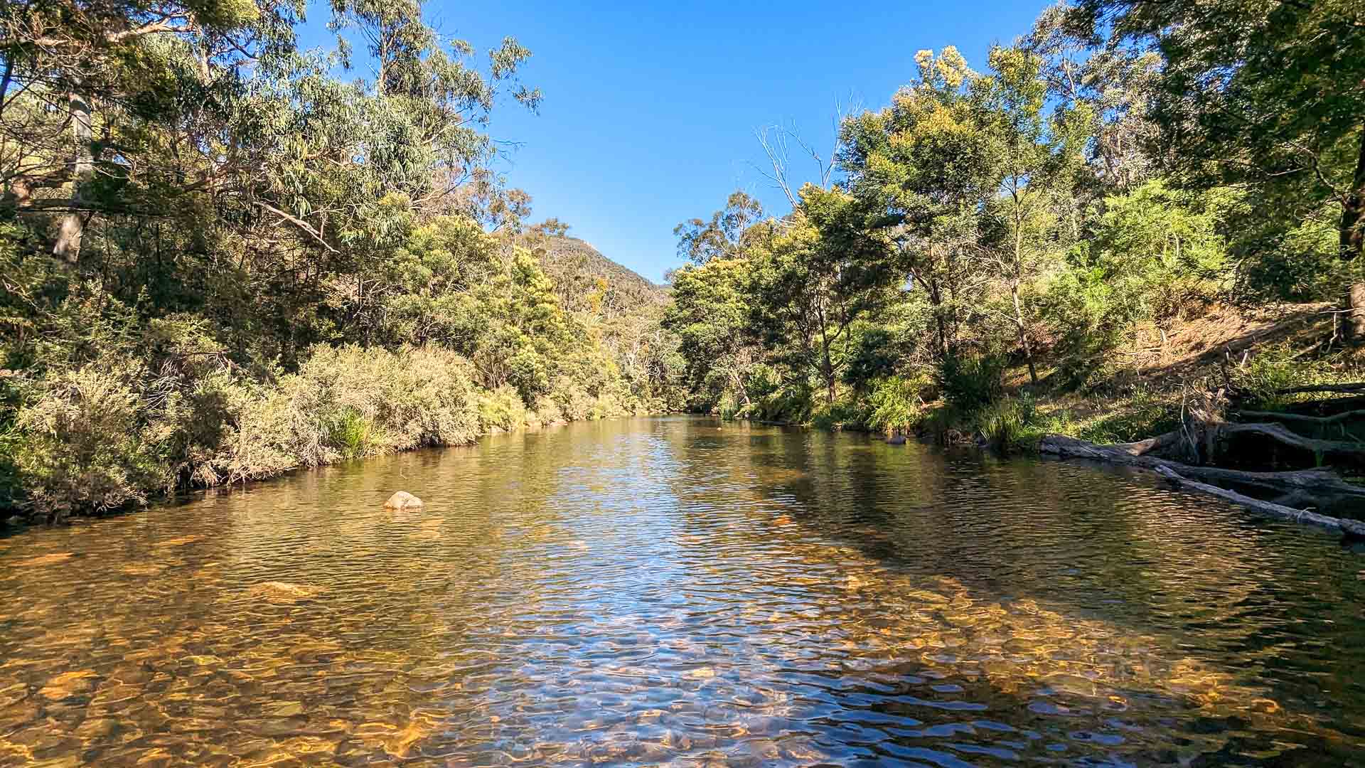
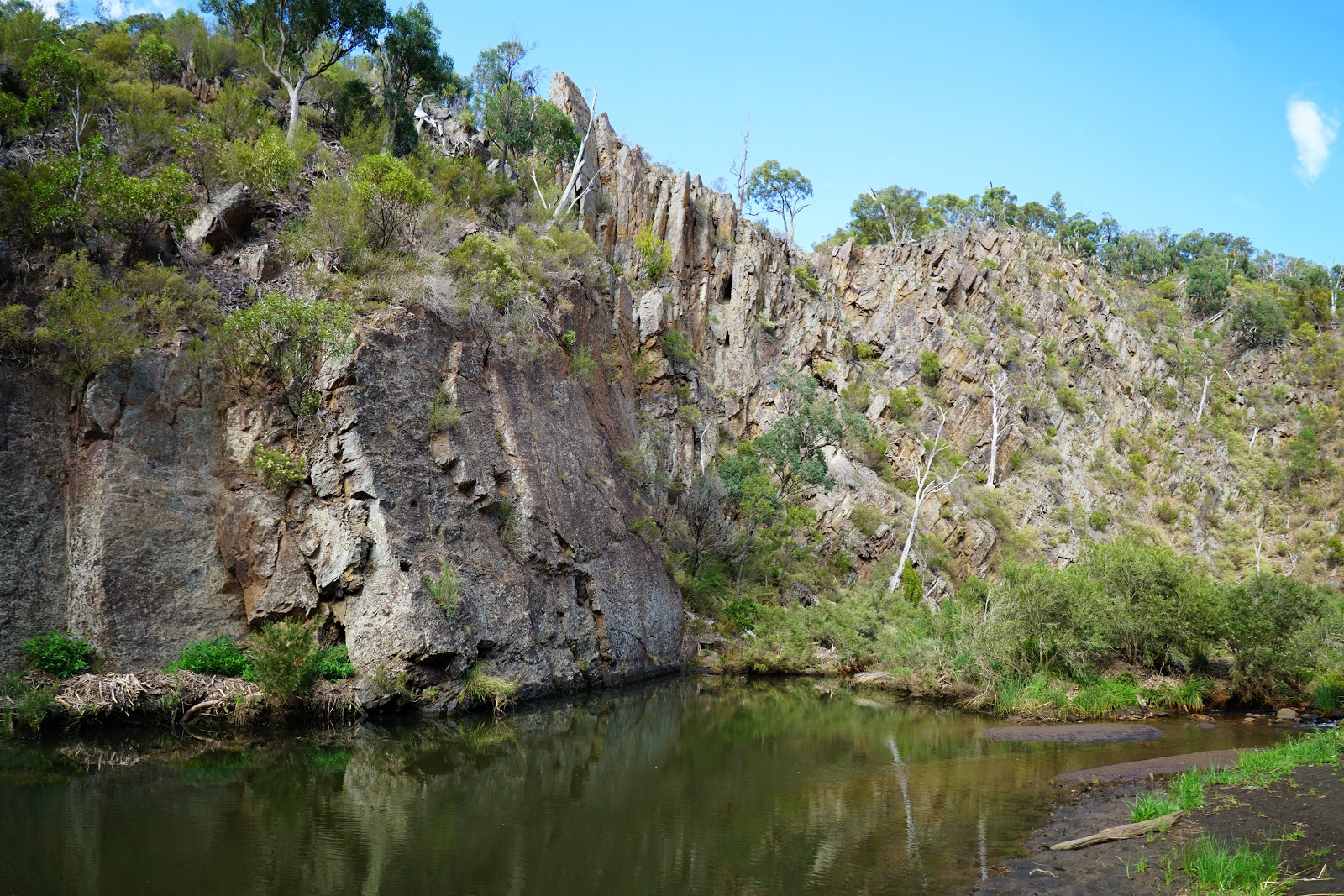
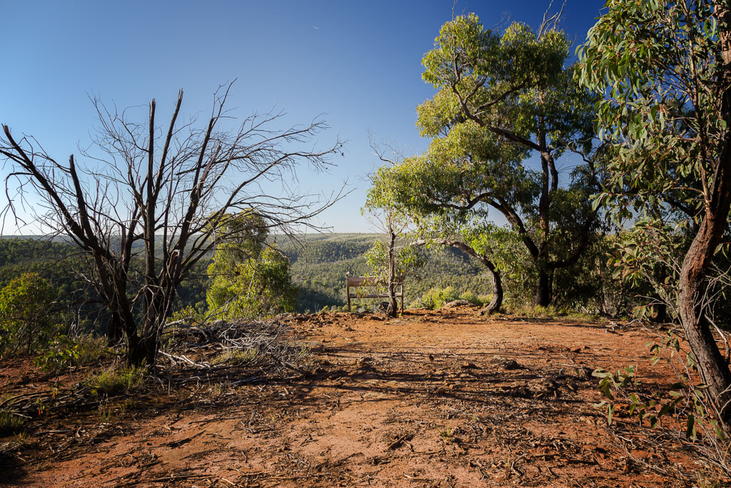
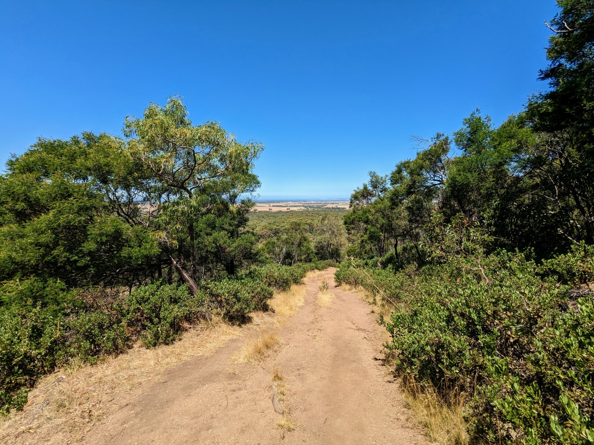
This is a combination loop trail around Mount Macedon Regional Park, Northwest of Melbourne. The trail is long and challenging, with several uphills and downhills. The route begins with a gradual ascent of Mount Macedon. From Memorial Cross, it continues relatively flat to McGregors Picnic Ground to then go up towards Camels Hump. Finally following Hemphill Track, the hike comes back around.
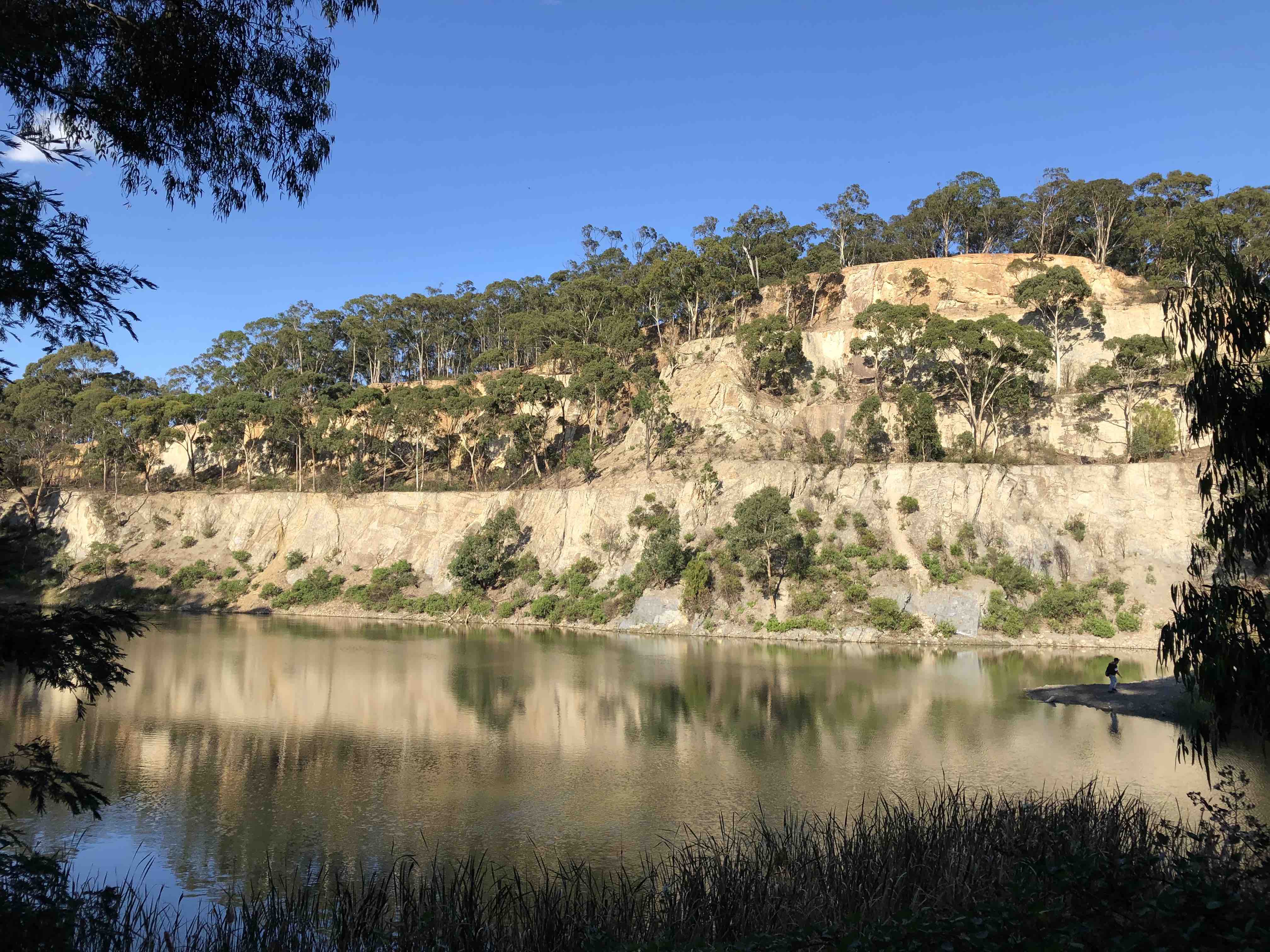
This route offers wonderful landscapes and views on the plains in the distance throughout the walk and holds a lot of history.

Already more than 200,000 users!
Uphill
626m
Highest point
1005m
Downhill
626m
Lowest point
598m
Route type
Loop
Download the map on your smartphone to save battery and rest assured to always keep access to the route, even without signal.
Includes IGN France and Swisstopo.
I indicate whether dogs are allowed or prohibited on this trail
Can be difficult in Winter
0 ratings
Also enjoy:

Already more than 200,000 users!