Uphill
196m
Length
3km
Duration
1h30min
Elev gain
196m
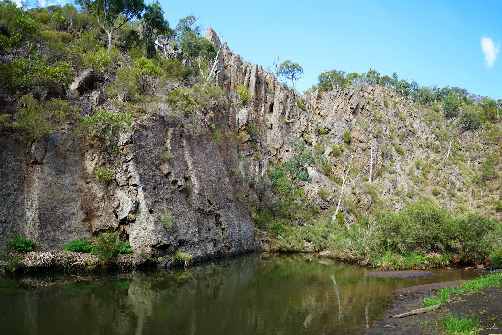
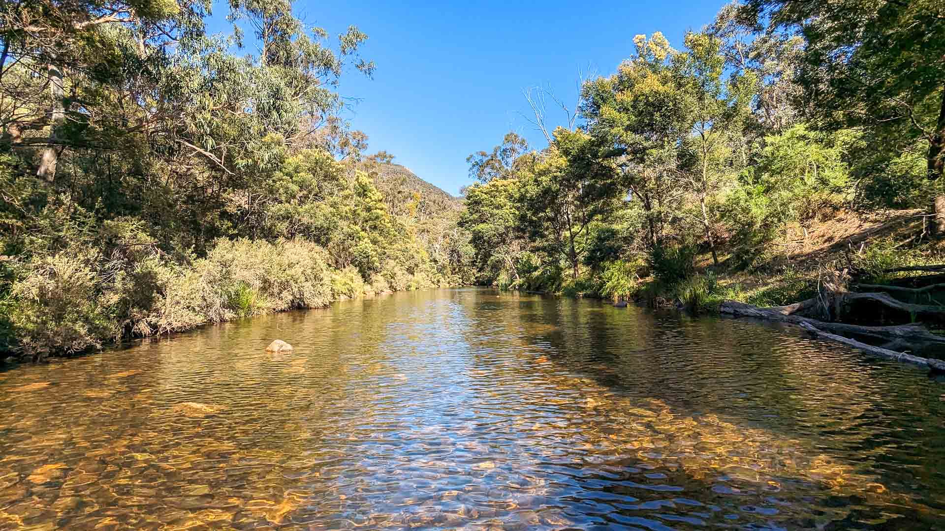
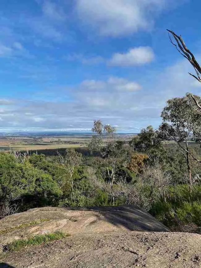
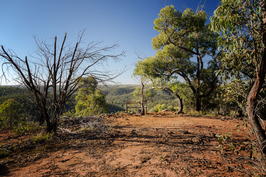
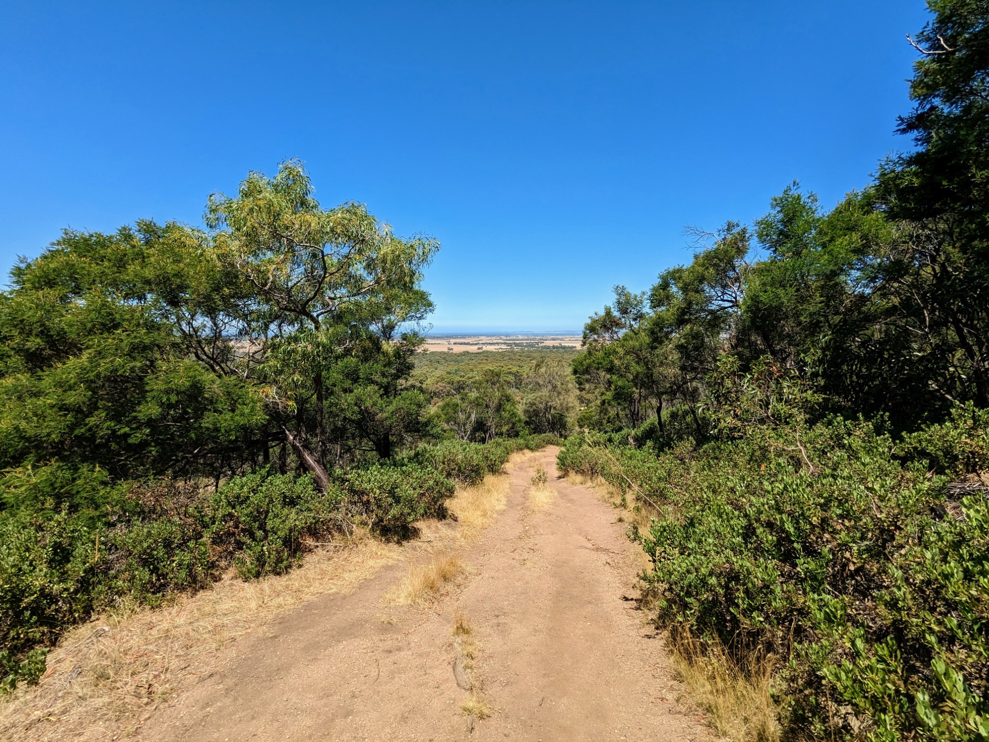
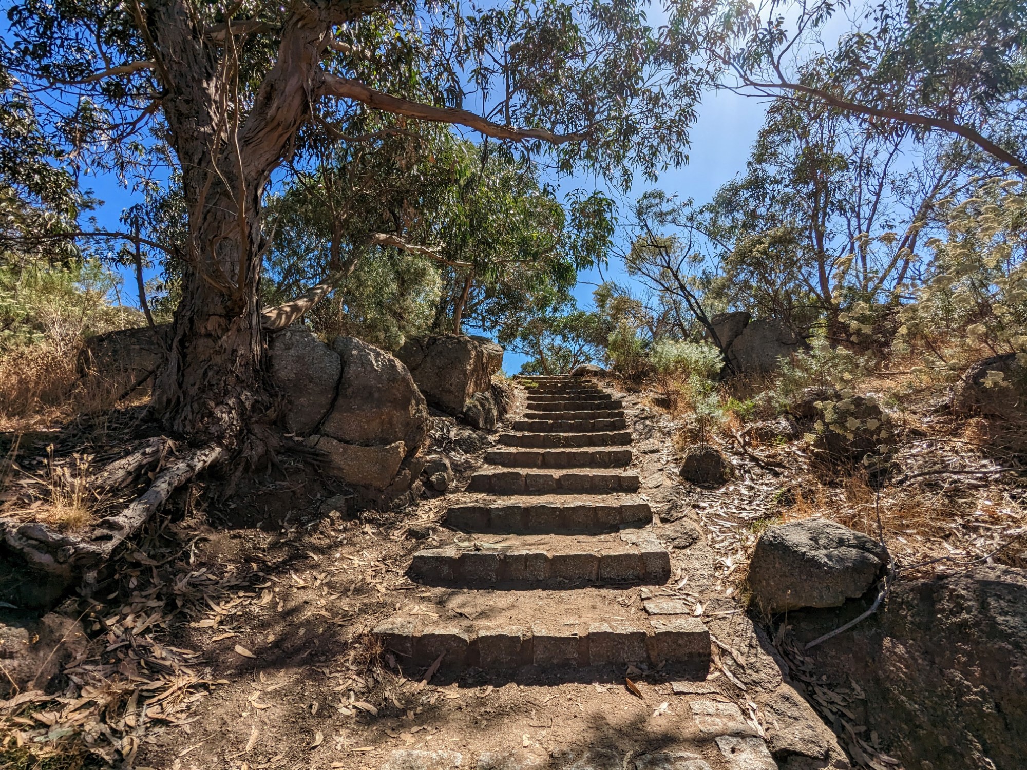
This is a great there-and-back hike in the You Yangs Regional Park, in the Northern Ranges, to ascend Flinders Peak. The hike immediately begins to go uphill combining some trail passages with 450 stairs on the way up. At the summit, the views on the open plains around are fantastic. Hikers will also be delighted by the beautiful flora and fauna on the way.

Already more than 200,000 users!
Uphill
196m
Highest point
344m
Downhill
196m
Lowest point
139m
Route type
There and back
Download the map on your smartphone to save battery and rest assured to always keep access to the route, even without signal.
Includes IGN France and Swisstopo.
I indicate whether dogs are allowed or prohibited on this trail
All year
0 ratings
Also enjoy:

Already more than 200,000 users!