Uphill
499m
Length
9km
Duration
4h
Elev gain
499m
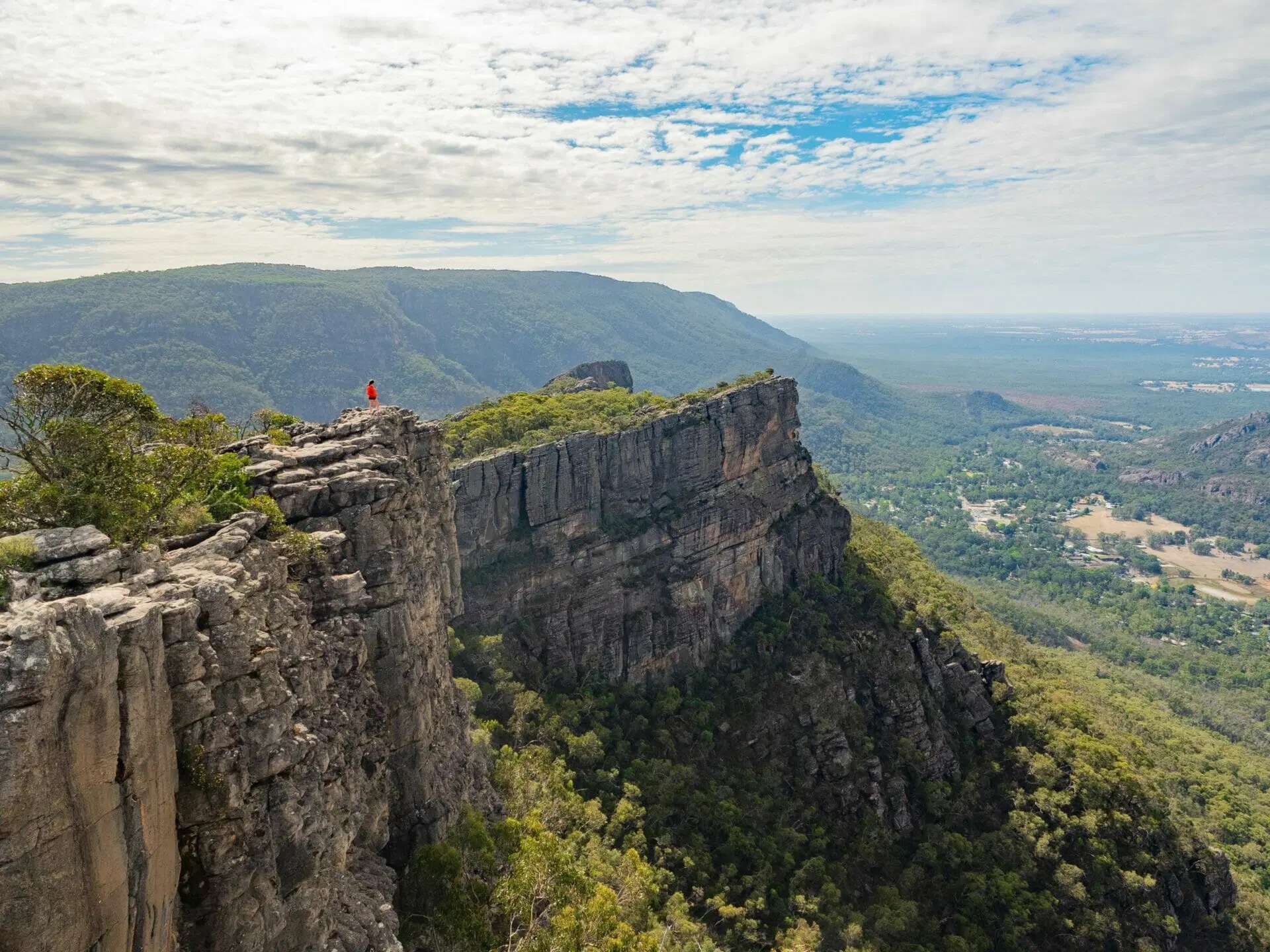
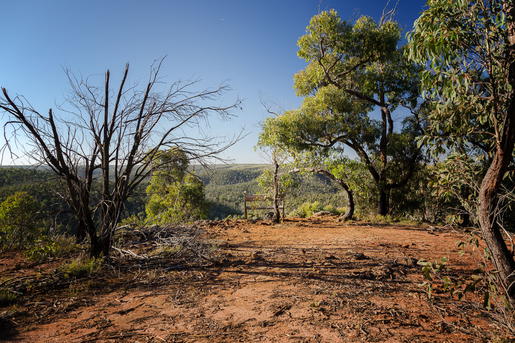
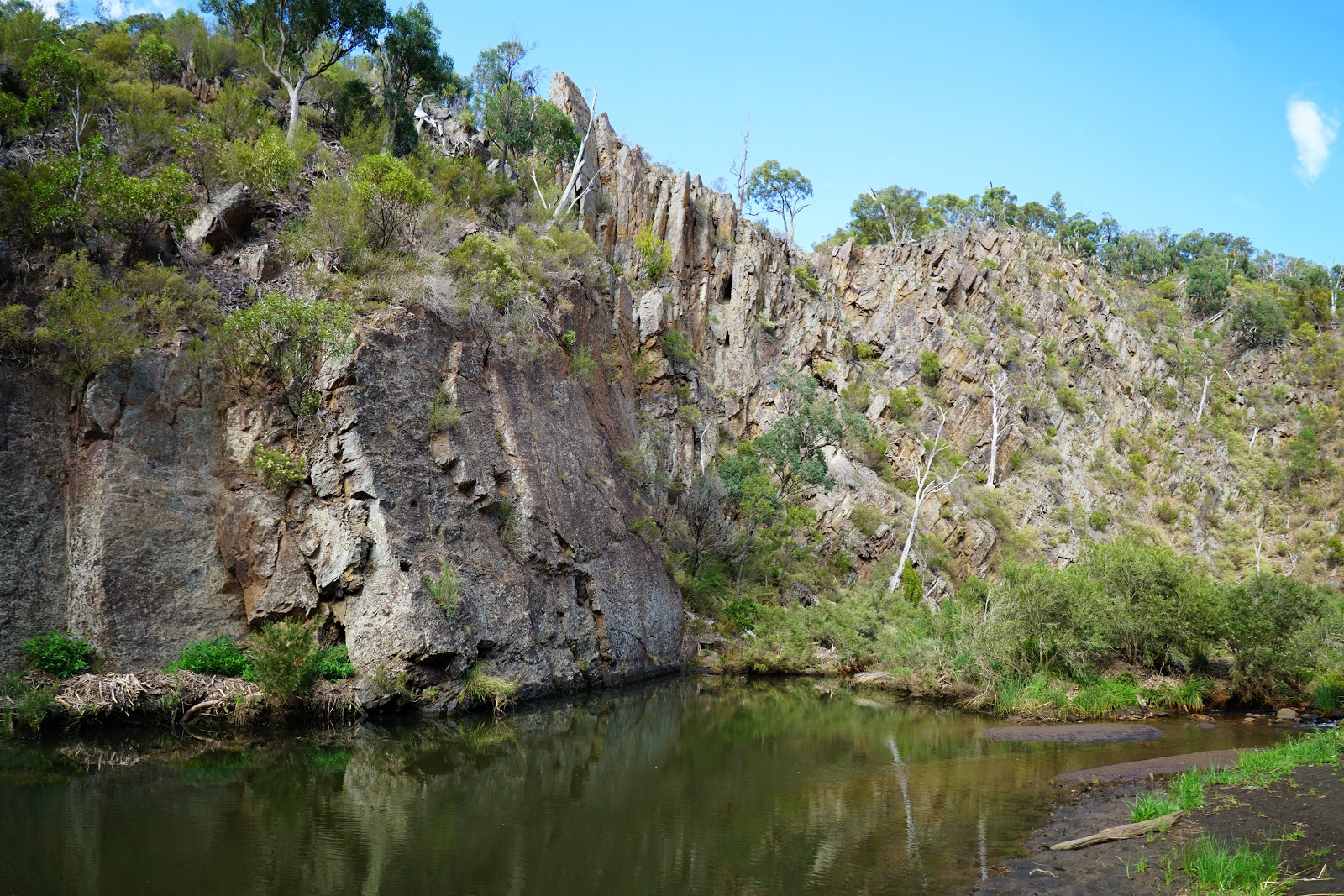
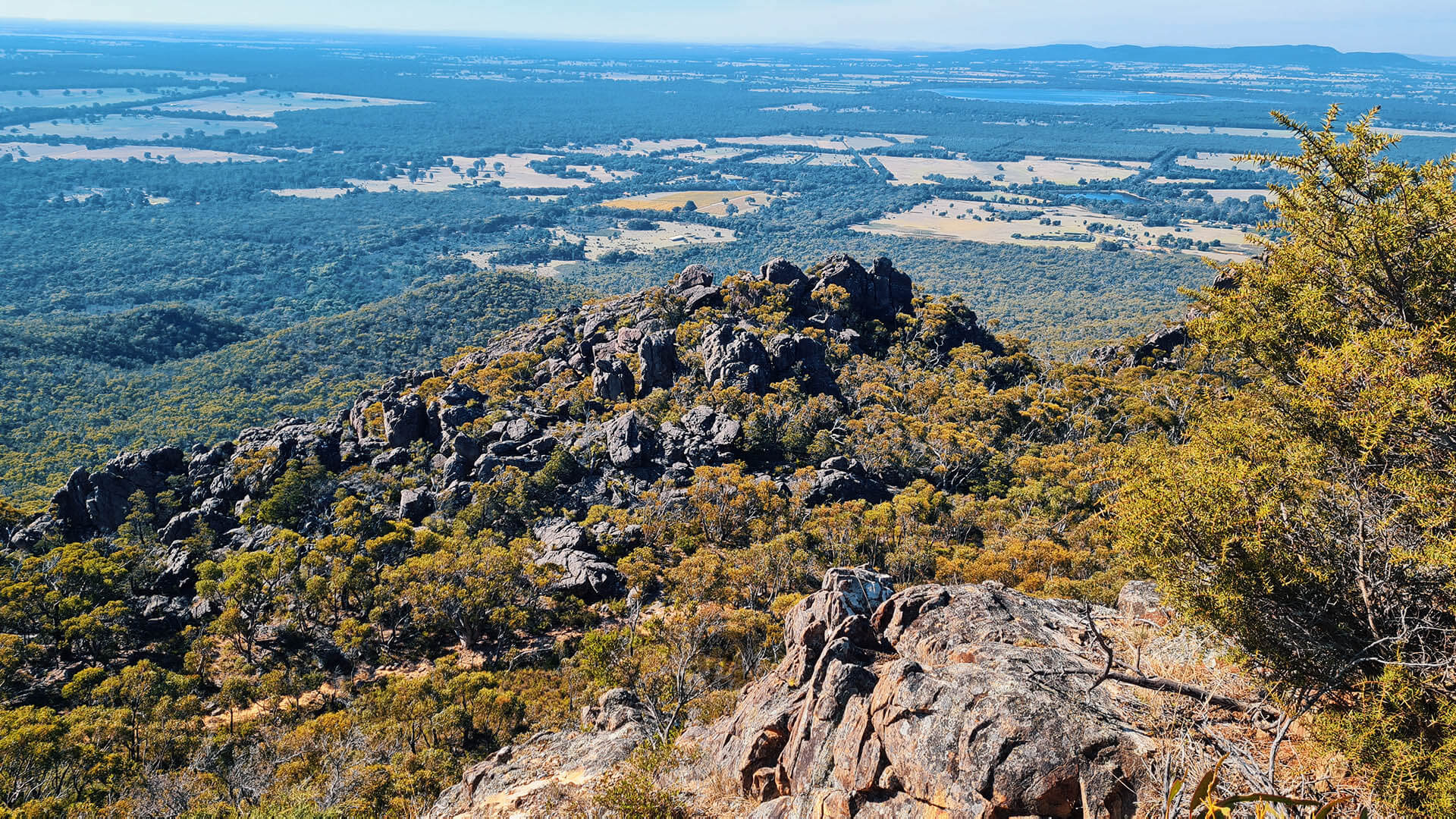
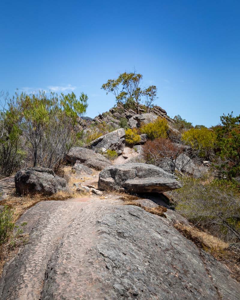
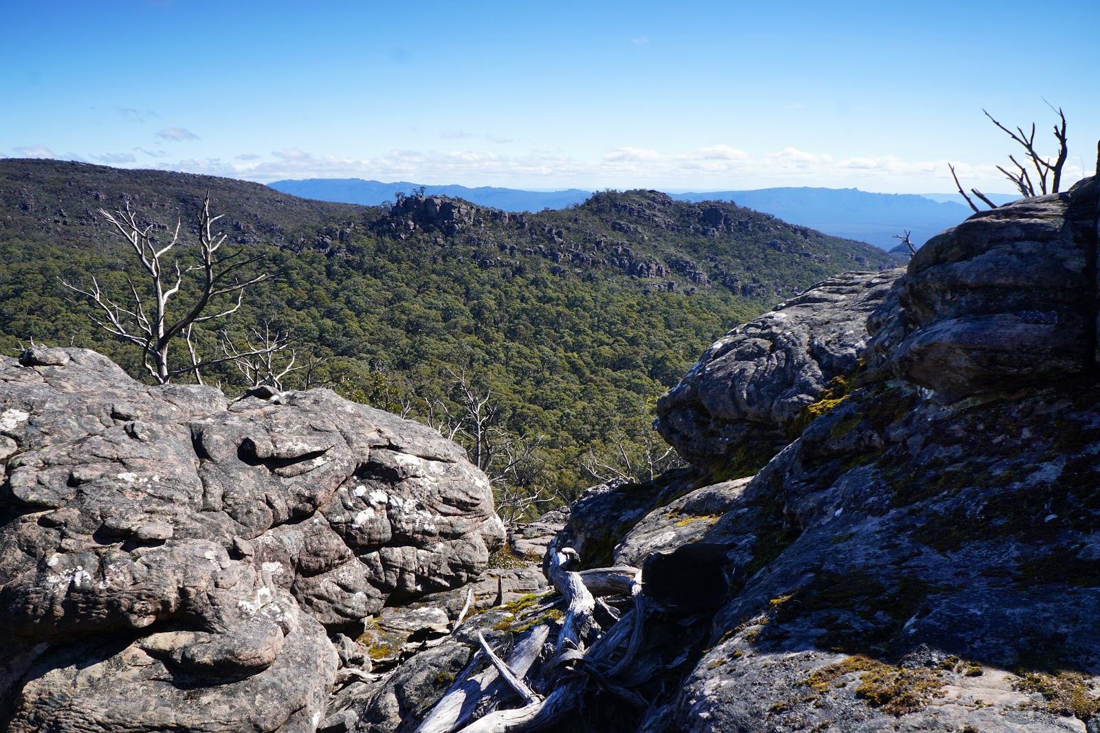
This is a fantastic there-and-back hike to the top of Mount Rosea in the Grampians National Park, Victoria. The trail goes steadily uphill on the way in; the track is well maintained but there are several rocky sections. The panoramic scenery at the top is wonderful with open plains and rising mountain ranges. The trail passes through creeks and very unique boulder formations that only add to the natural beauty of the site.

Already more than 200,000 users!
Uphill
499m
Highest point
980m
Downhill
499m
Lowest point
592m
Route type
There and back
Download the map on your smartphone to save battery and rest assured to always keep access to the route, even without signal.
Includes IGN France and Swisstopo.
I indicate whether dogs are allowed or prohibited on this trail
All year
0 ratings
Also enjoy:

Already more than 200,000 users!