Uphill
64m
Length
7km
Duration
2h
Elev gain
64m
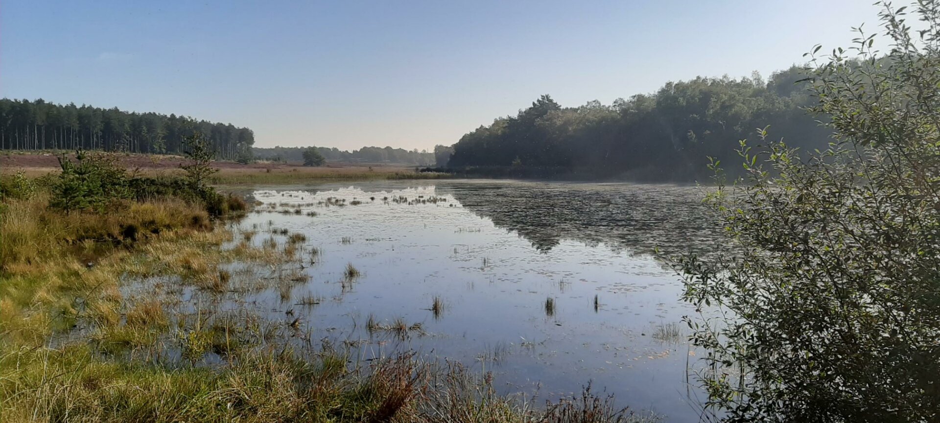
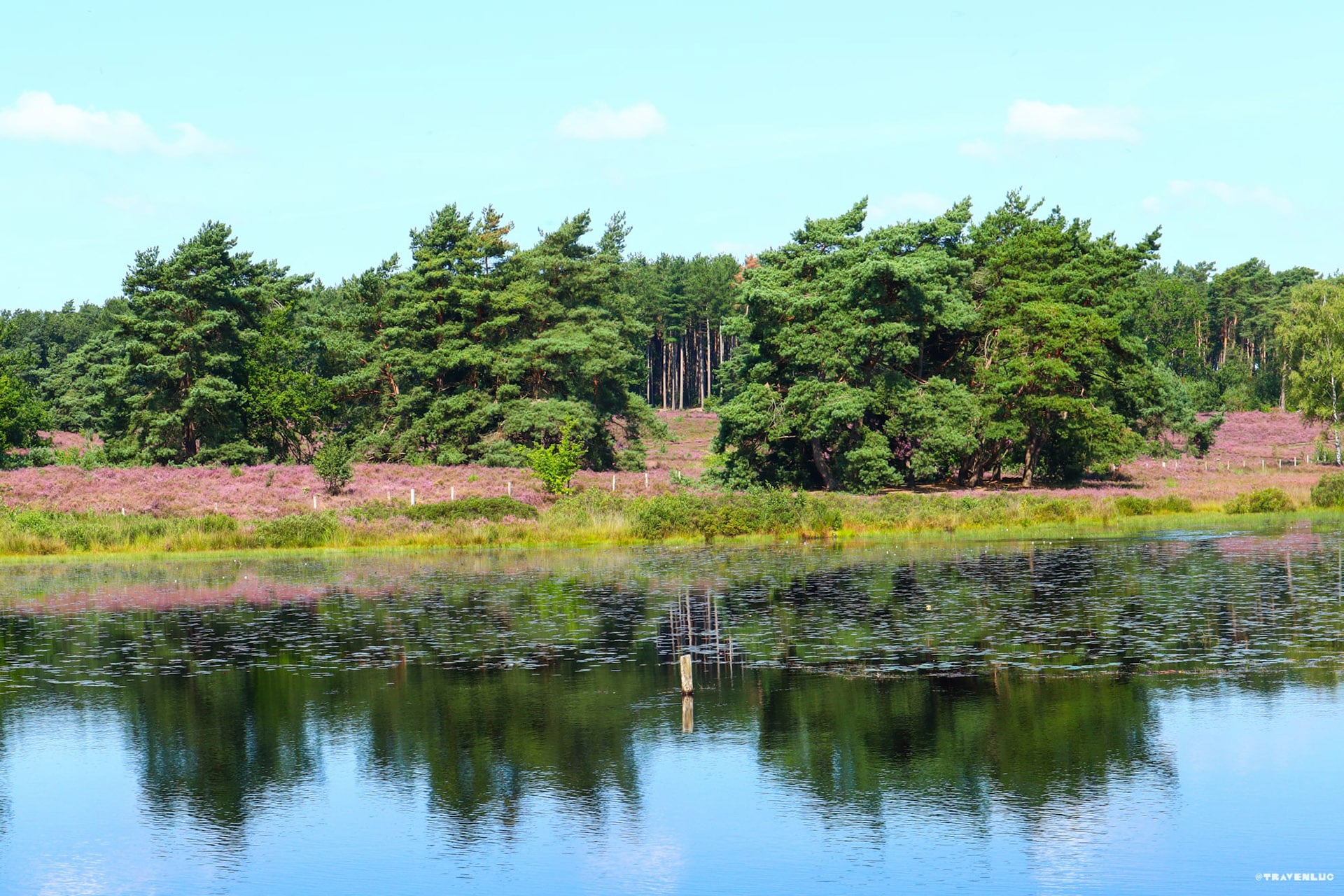
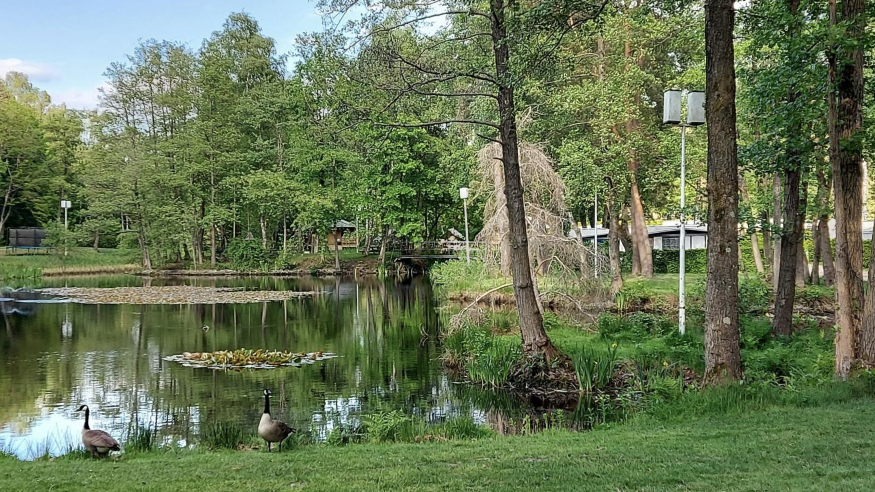
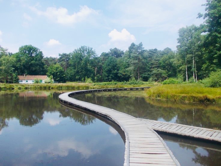
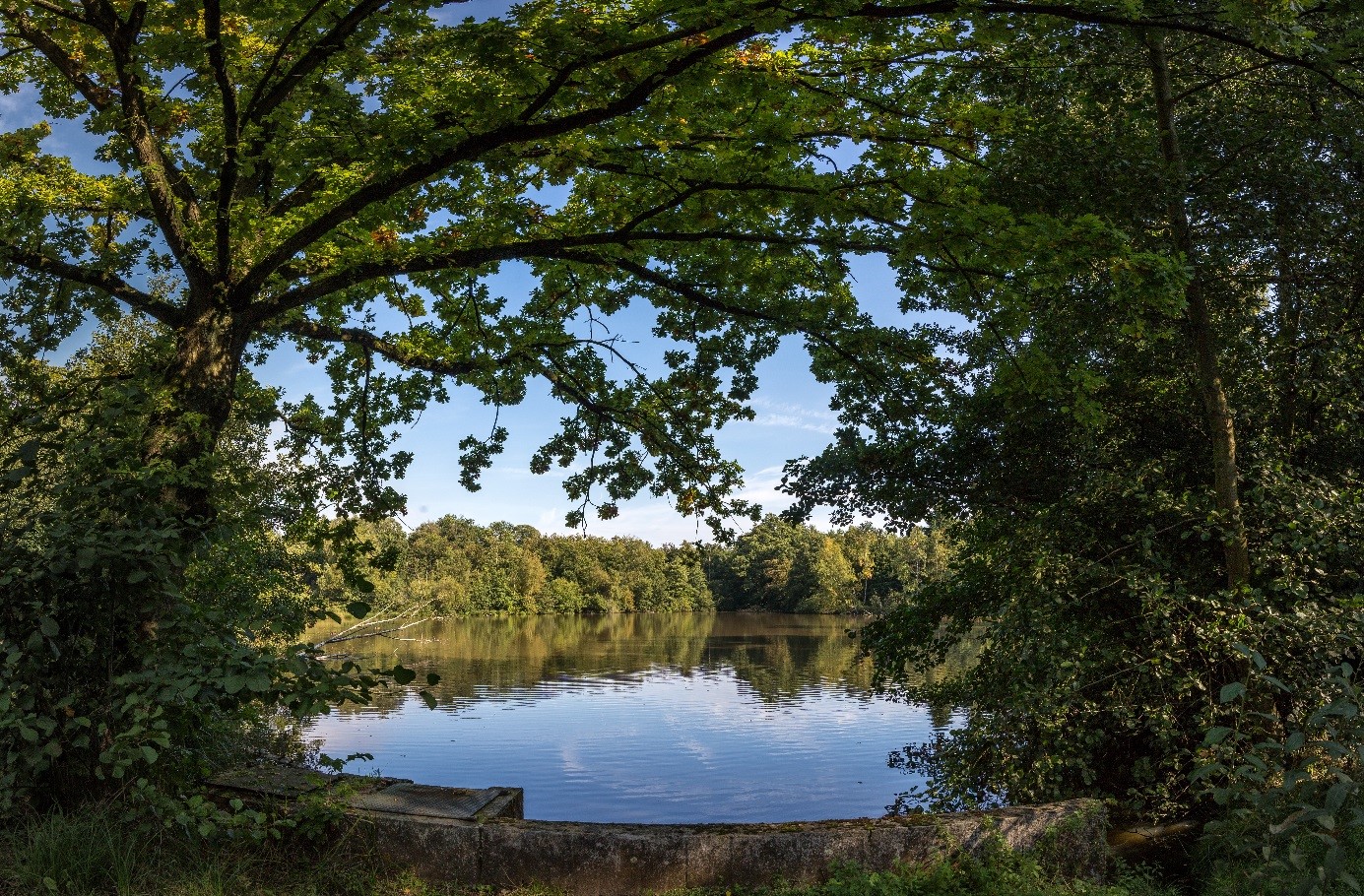
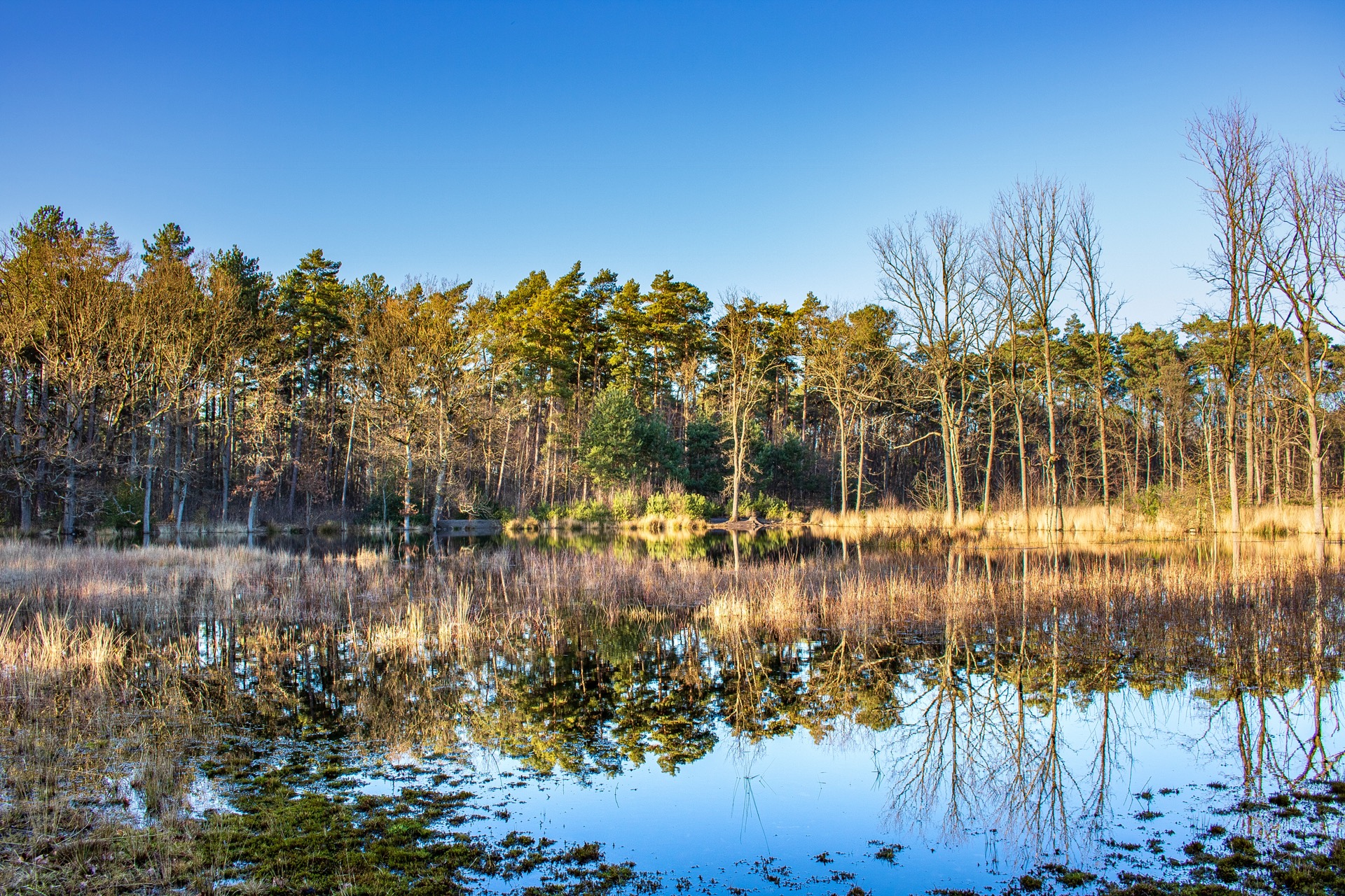
Nice walk around the chapel of Koersels, in the heart of a beautiful natural environment. The route makes a loop on one of the many possible paths in this area, and crosses superb landscapes typical of the region.

Already more than 200,000 users!
Uphill
64m
Highest point
74m
Downhill
64m
Lowest point
33m
Route type
Loop
Download the map on your smartphone to save battery and rest assured to always keep access to the route, even without signal.
Includes IGN France and Swisstopo.
I indicate whether dogs are allowed or prohibited on this trail
All year
0 ratings
Also enjoy:

Already more than 200,000 users!