Uphill
47m
Length
5km
Duration
1h
Elev gain
47m
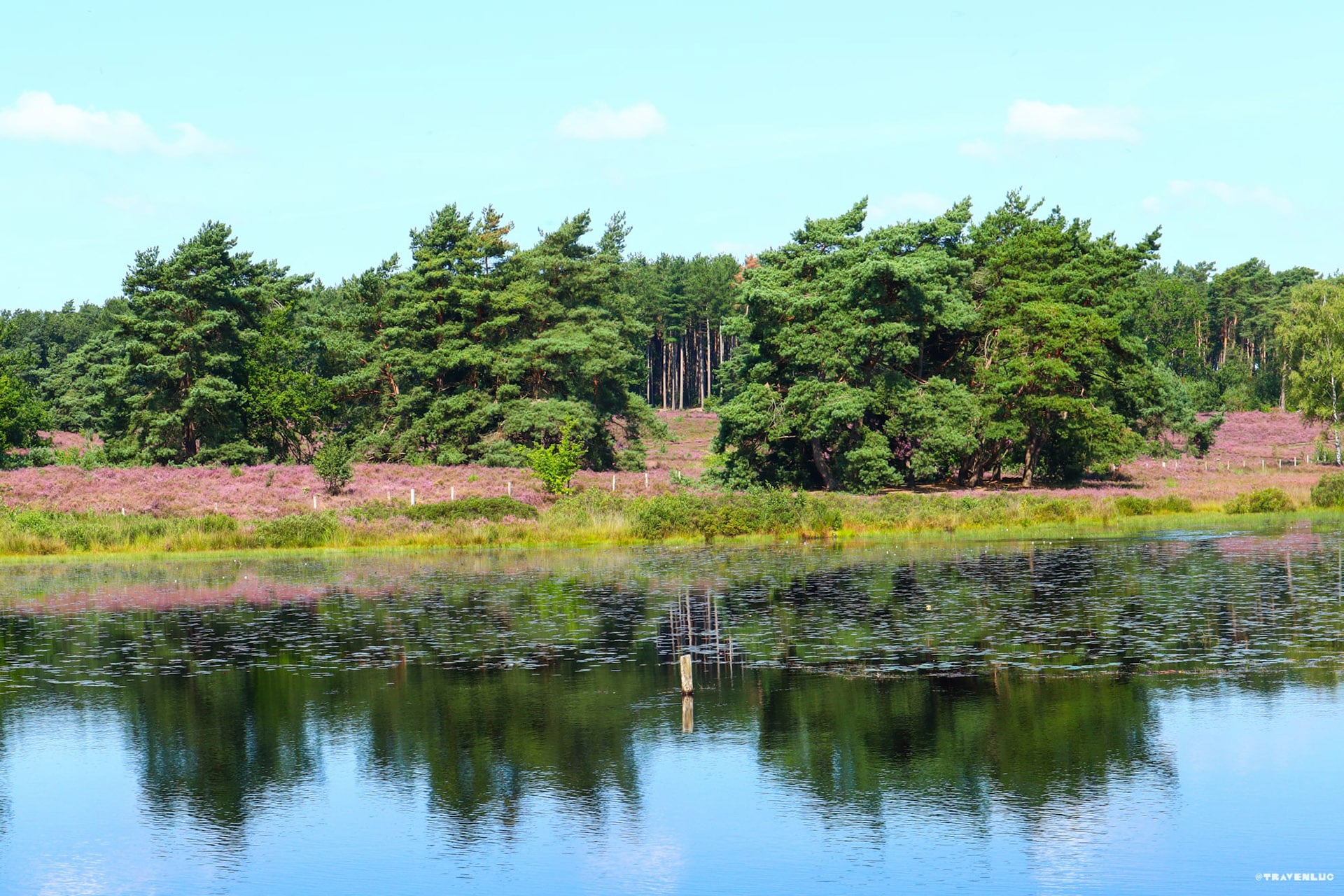
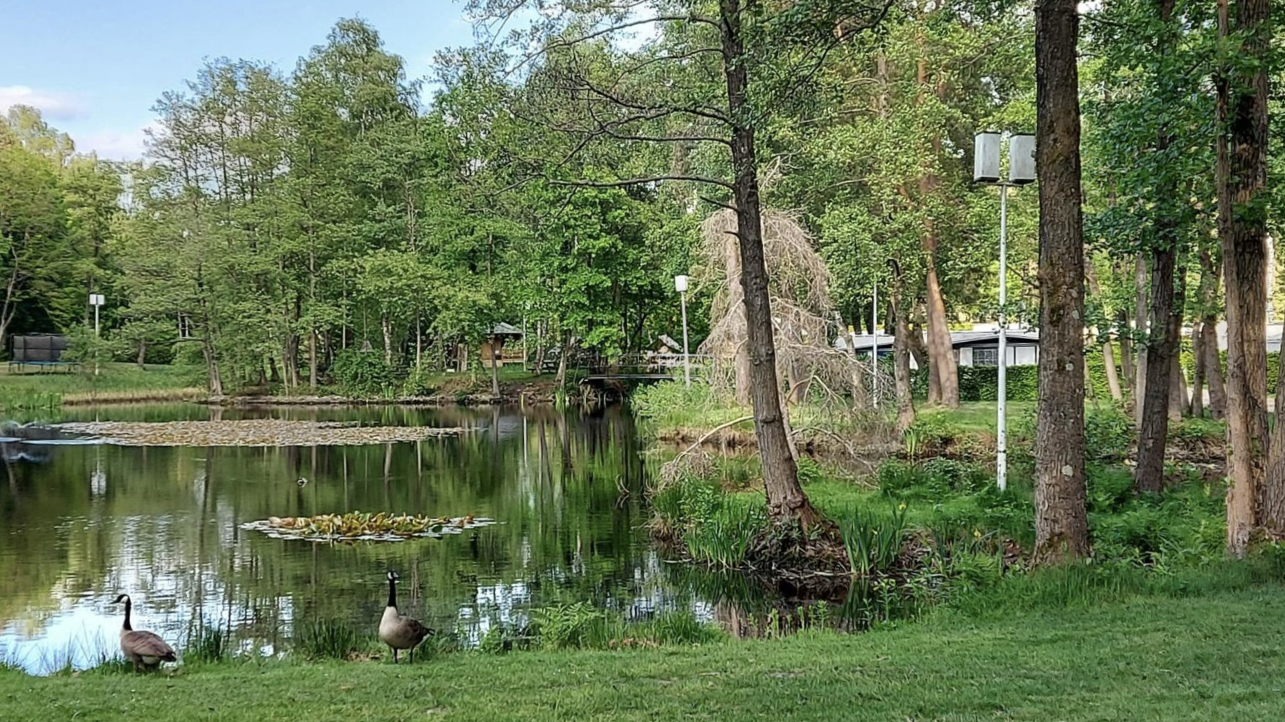
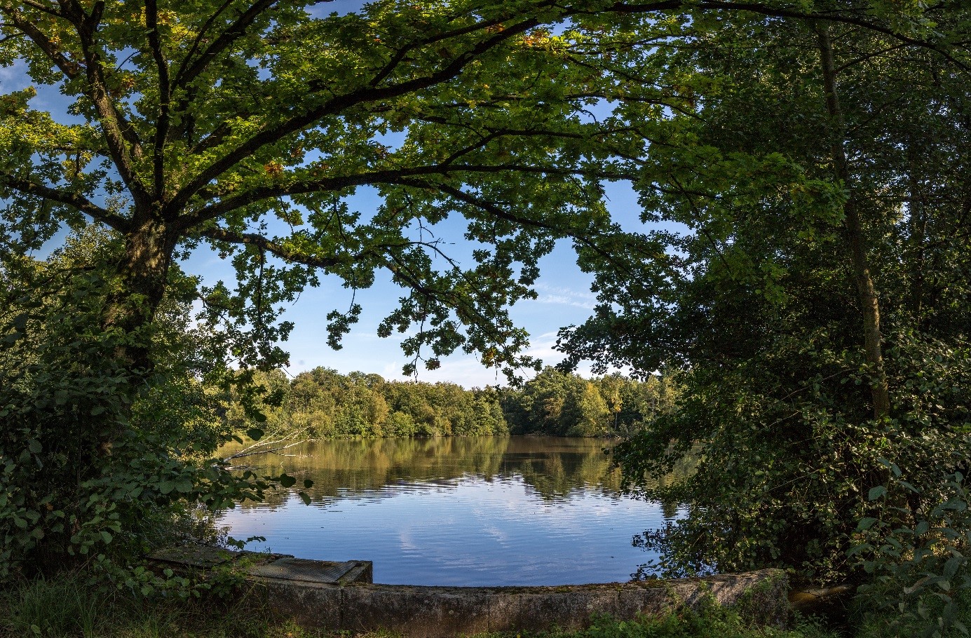
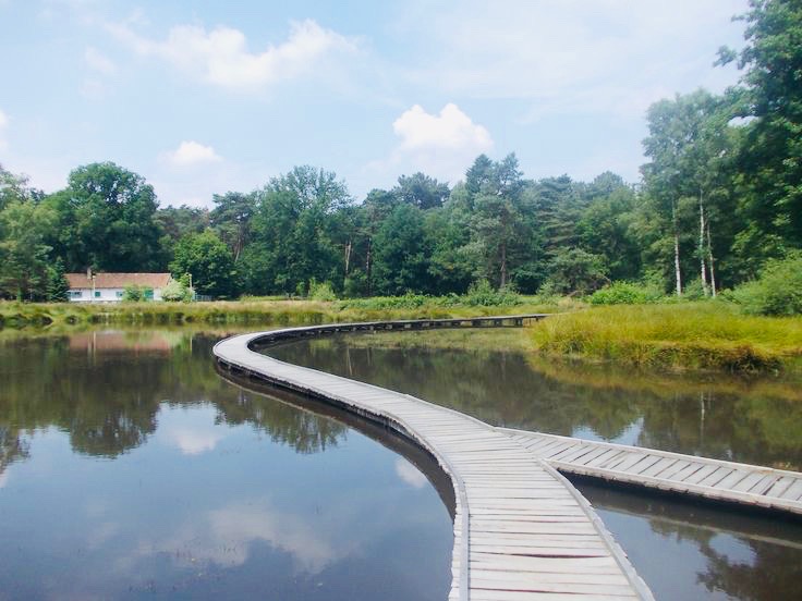
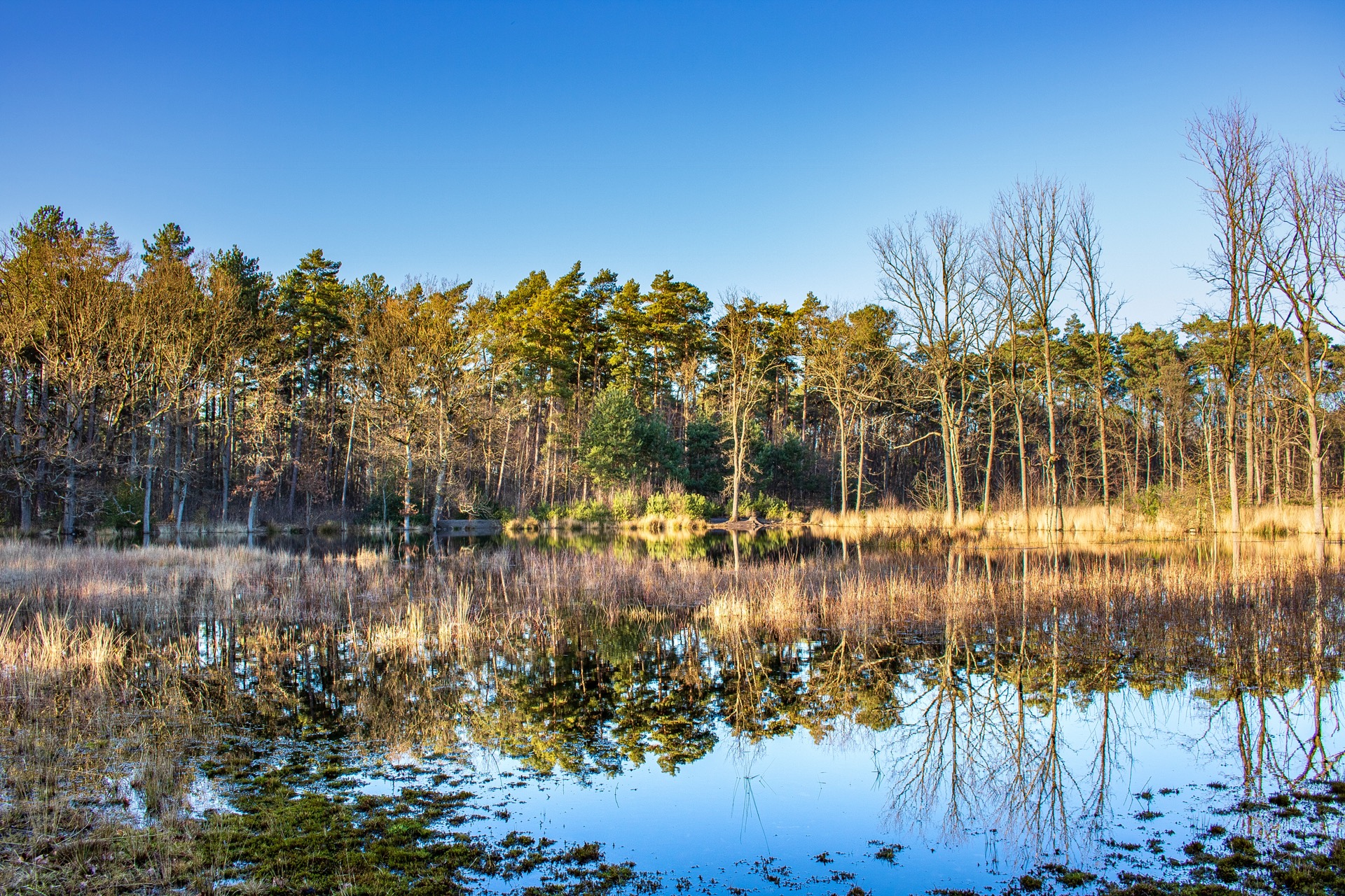
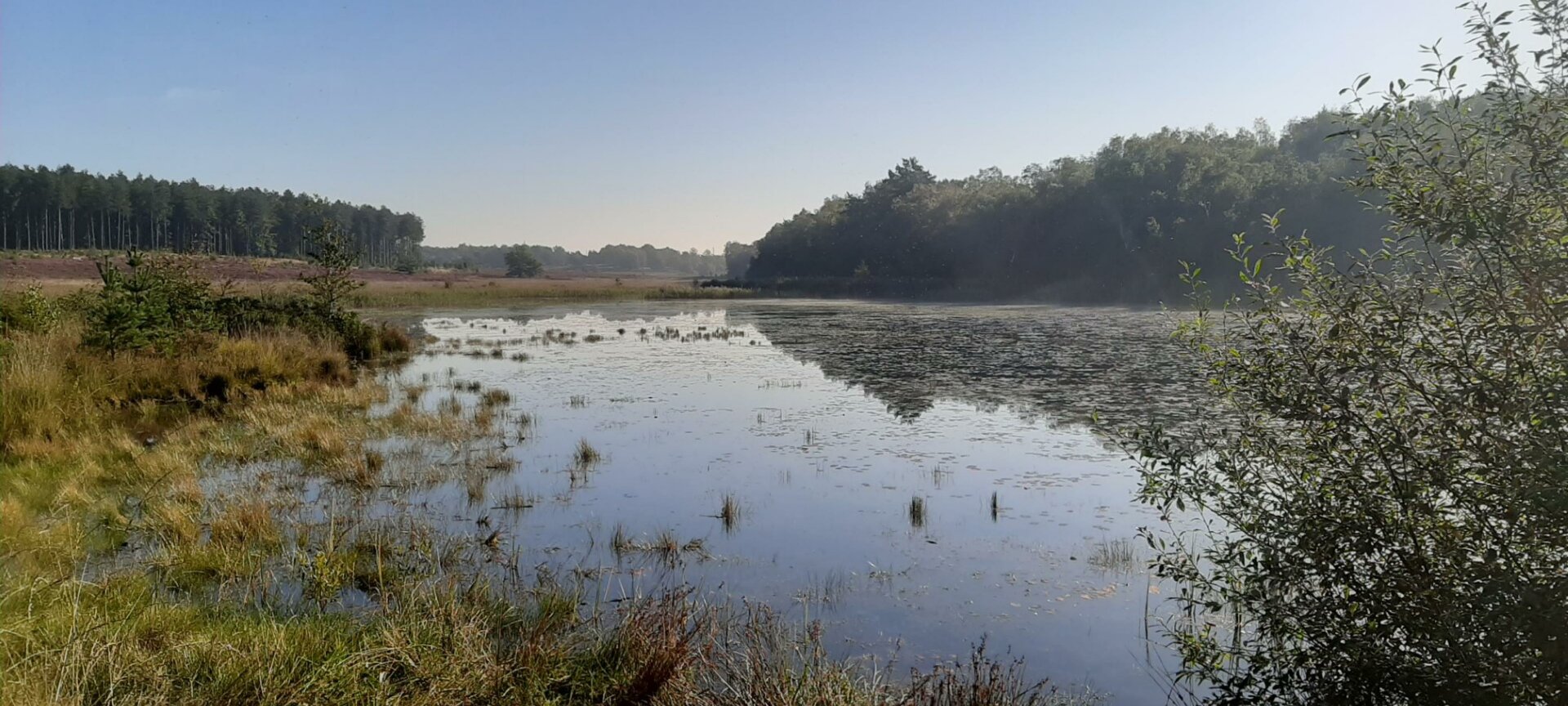
Located northeast of Zonhoven, this walk makes a loop in a superb environment. Between forests and swamps, nature exudes a pleasant tranquility in which one would like time to stand still.

Already more than 200,000 users!
Uphill
47m
Highest point
87m
Downhill
47m
Lowest point
44m
Route type
Loop
Download the map on your smartphone to save battery and rest assured to always keep access to the route, even without signal.
Includes IGN France and Swisstopo.
I indicate whether dogs are allowed or prohibited on this trail
All year
0 ratings
Also enjoy:

Already more than 200,000 users!