Uphill
41m

Length
6km
Duration
1h30min
Elev gain
41m
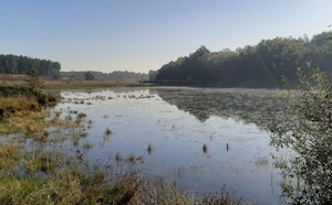
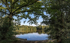
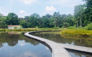
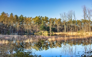
Nice hike in the nature reserve of De Teut. This loop route offers diverse and varied landscapes, between forests and swamps, within a nature where calm reigns.

Already more than 200,000 users!
Uphill
41m
Highest point
75m
Downhill
41m
Lowest point
45m
Route type
Loop
Download the map on your smartphone to save battery and rest assured to always keep access to the route, even without signal.
Includes IGN France and Swisstopo.
I indicate whether dogs are allowed or prohibited on this trail
All year
0 ratings
Also enjoy:

Already more than 200,000 users!