Uphill
110m
Length
10km
Duration
3h
Elev gain
110m
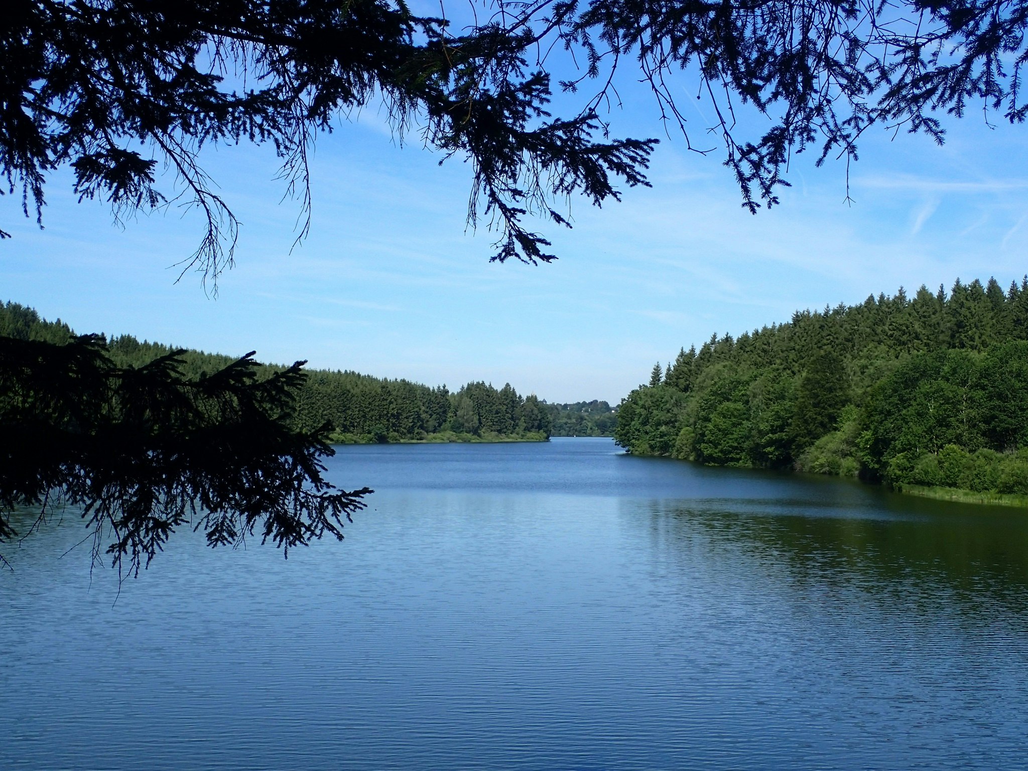
Relaxing walk around Lake Butgenbach. The route takes place between undergrowth and fields, and passes by the dam that created this water reservoir, now popular for leisure activities.

Already more than 200,000 users!
Uphill
110m
Highest point
574m
Downhill
110m
Lowest point
529m
Route type
Loop
Download the map on your smartphone to save battery and rest assured to always keep access to the route, even without signal.
Includes IGN France and Swisstopo.
I indicate whether dogs are allowed or prohibited on this trail
All year
1 rating
Also enjoy:

Already more than 200,000 users!


