Uphill
96m
Length
9km
Duration
2h30min
Elev gain
96m
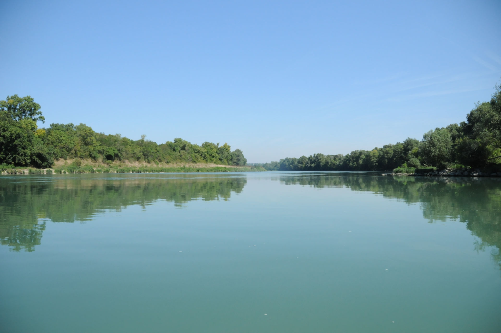
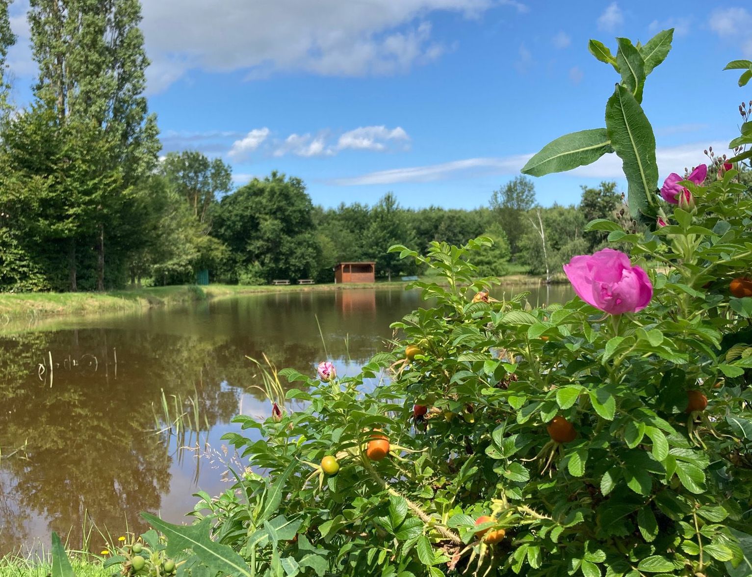
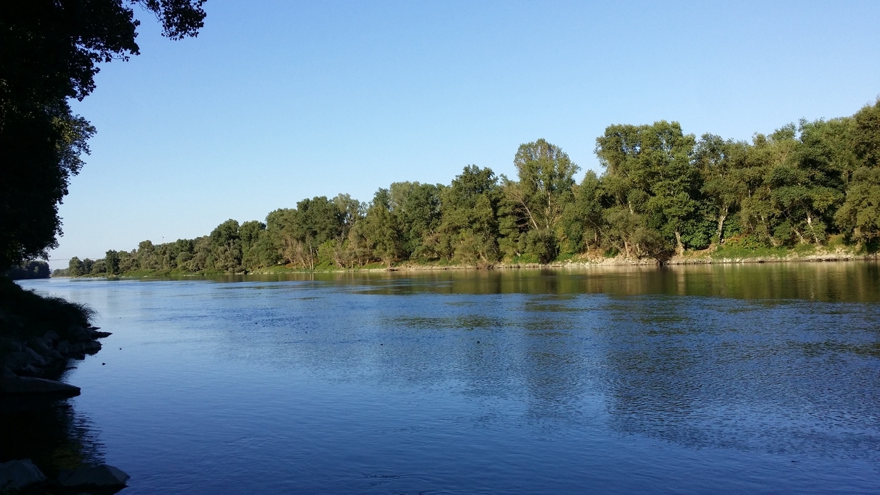
Walk from Givors-ville station to that of Vernaison which allows you to follow the Rhône on a relatively wooded part, in front of the island of the Round Table.

Already more than 200,000 users!
Uphill
96m
Highest point
189m
Downhill
93m
Lowest point
145m
Route type
One way
Download the map on your smartphone to save battery and rest assured to always keep access to the route, even without signal.
Includes IGN France and Swisstopo.
I indicate whether dogs are allowed or prohibited on this trail
All year
1 rating
Also enjoy:

Already more than 200,000 users!