Uphill
195m
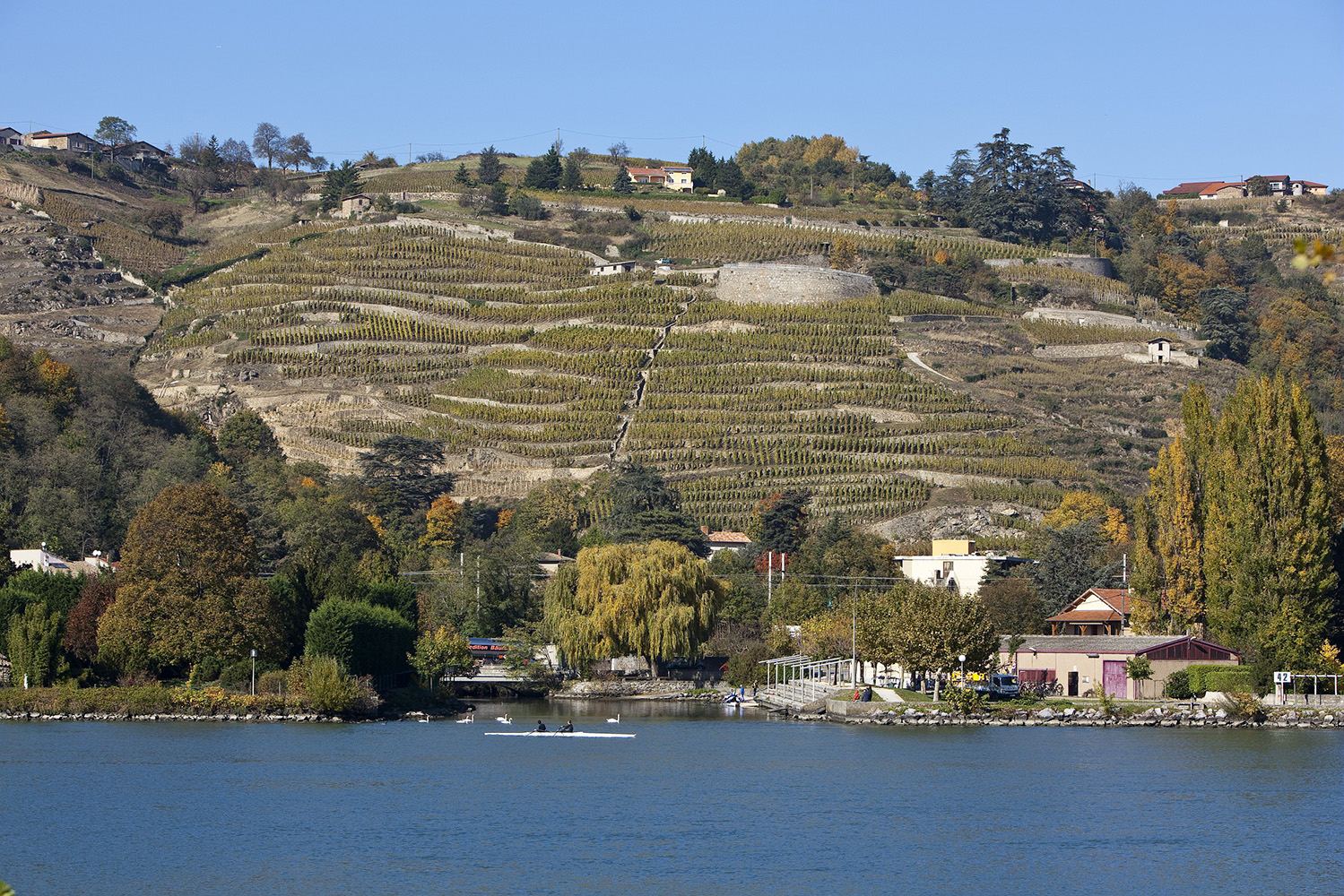
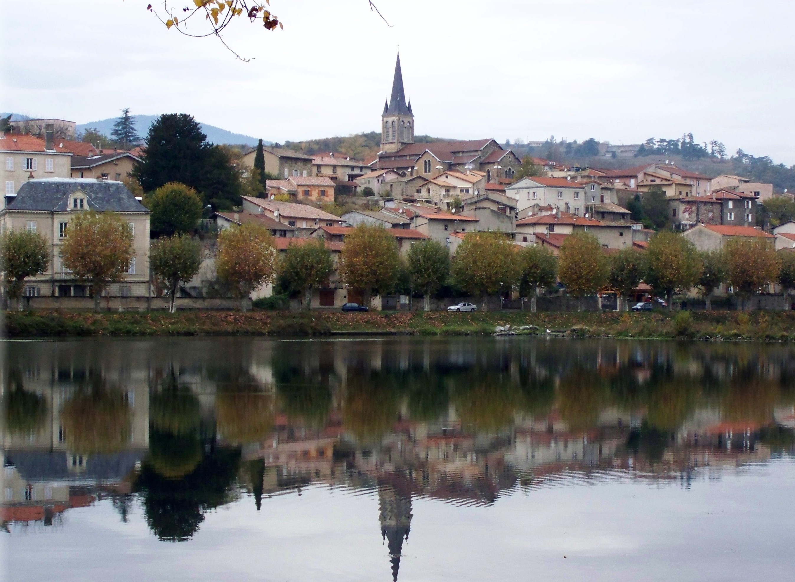
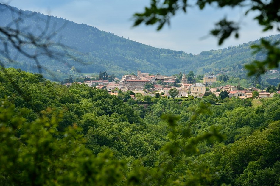
France > Auvergne-Rhône-Alpes > Rhône > Pilat Regional Natural Park
Length
8km
Duration
2h30min
Elev gain
195m
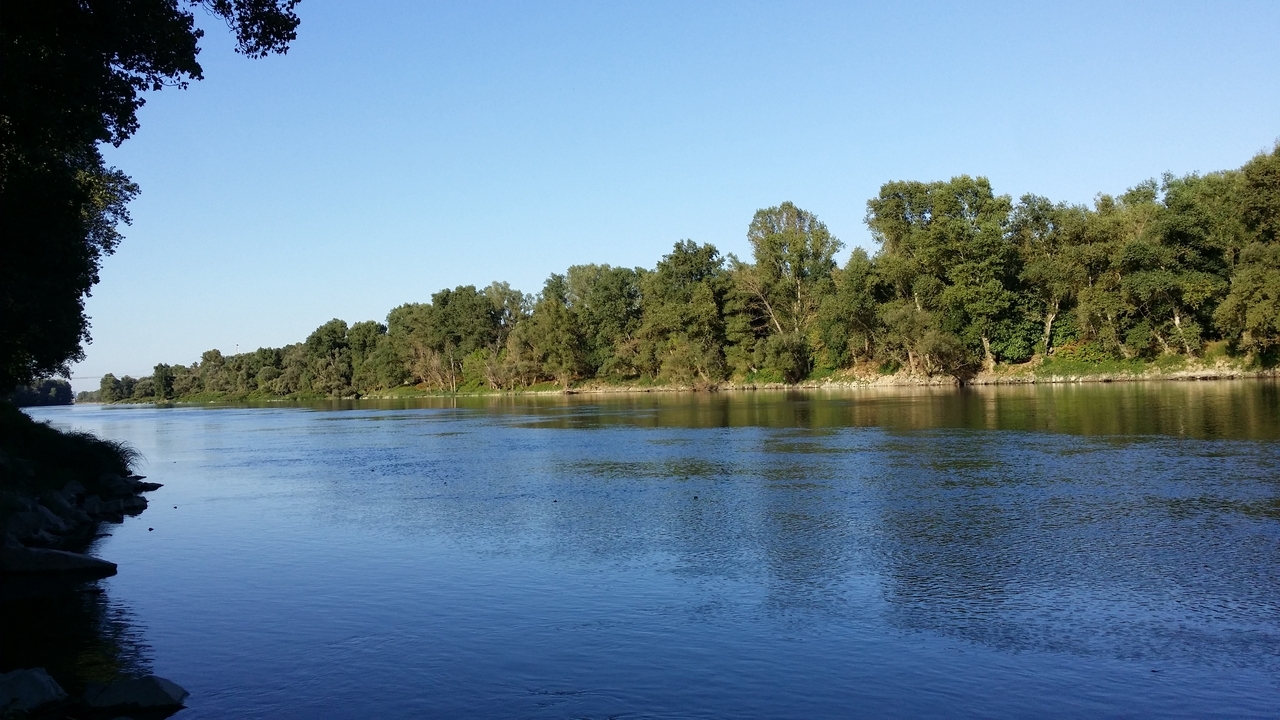
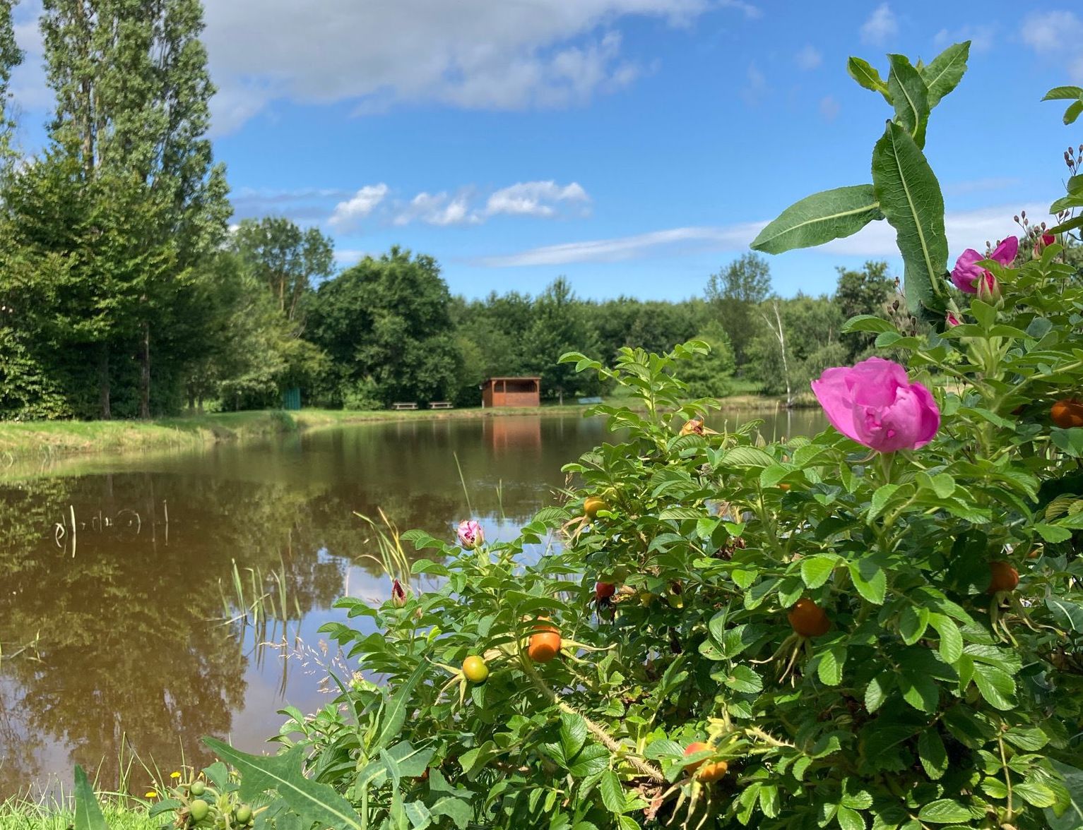
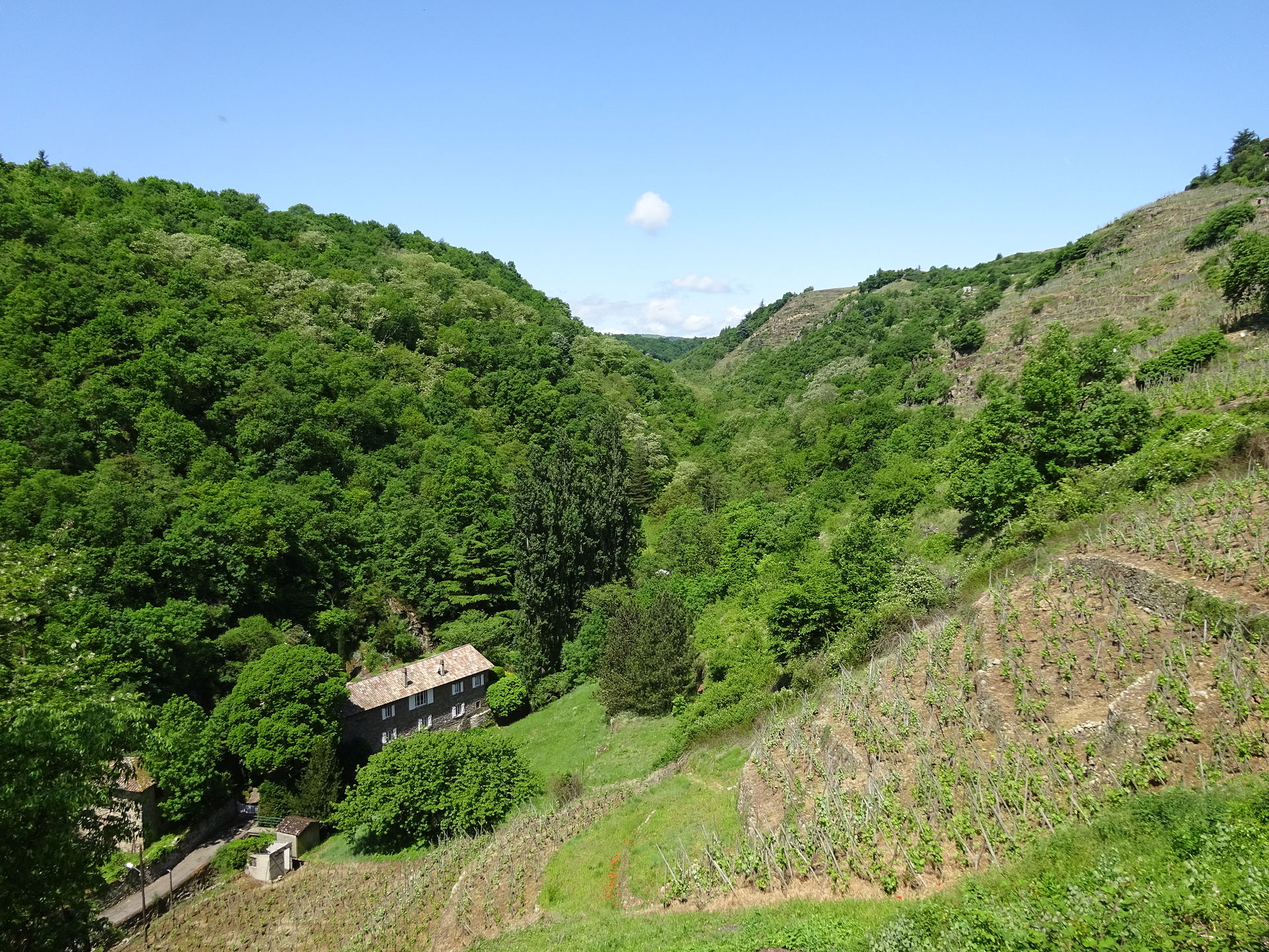
Departing from Condrieu, walk in a Rhône ravine, with its rich flora and fauna. After a short passage through the countryside, taking a few roads, the circuit follows a second smaller ravine.

Already more than 200,000 users!
Uphill
195m
Highest point
336m
Downhill
195m
Lowest point
149m
Route type
Loop
Download the map on your smartphone to save battery and rest assured to always keep access to the route, even without signal.
Includes IGN France and Swisstopo.
I indicate whether dogs are allowed or prohibited on this trail
All year
4 ratings
Also enjoy:

Already more than 200,000 users!