Uphill
70m
Length
15km
Duration
4h
Elev gain
70m
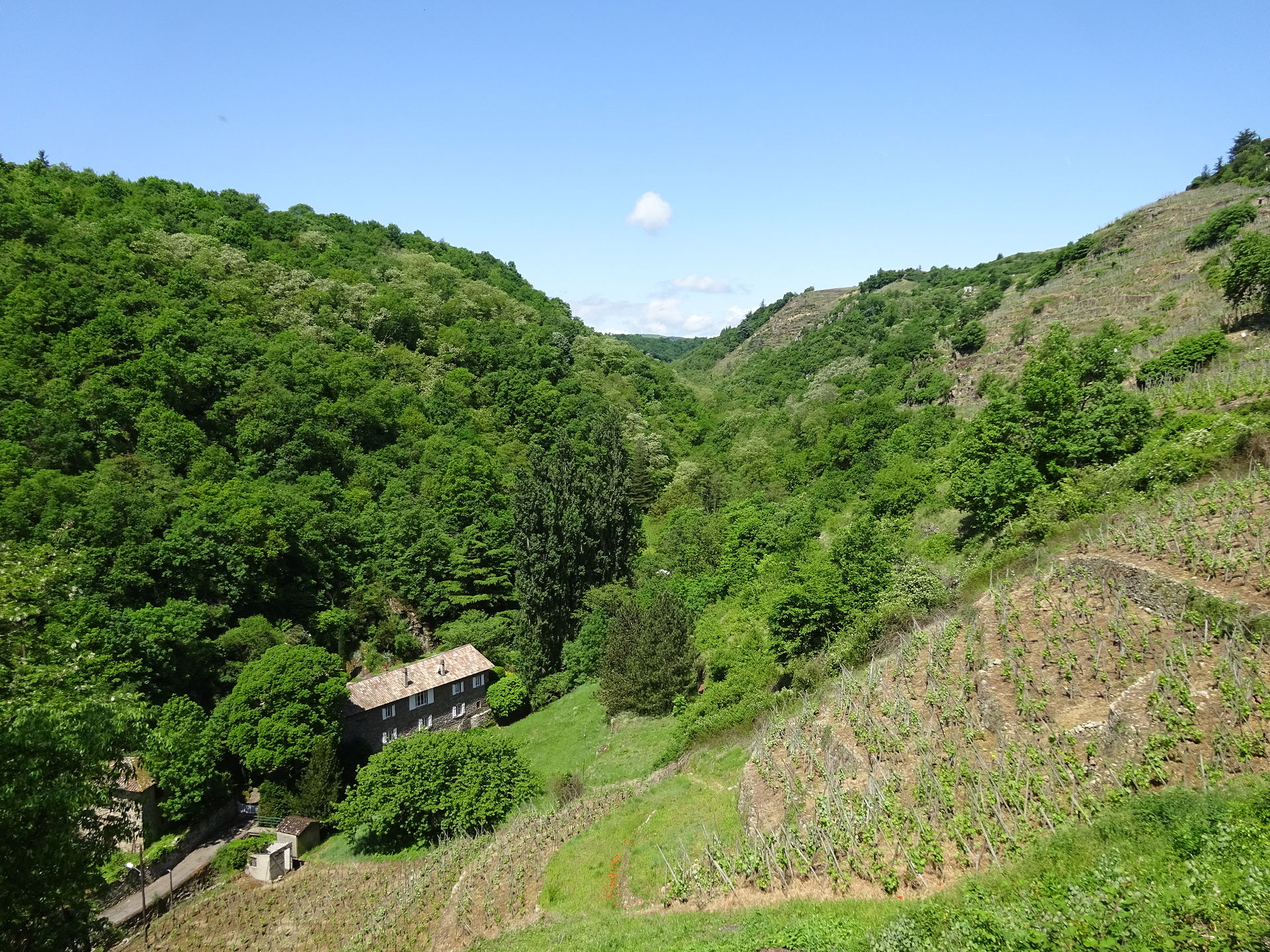
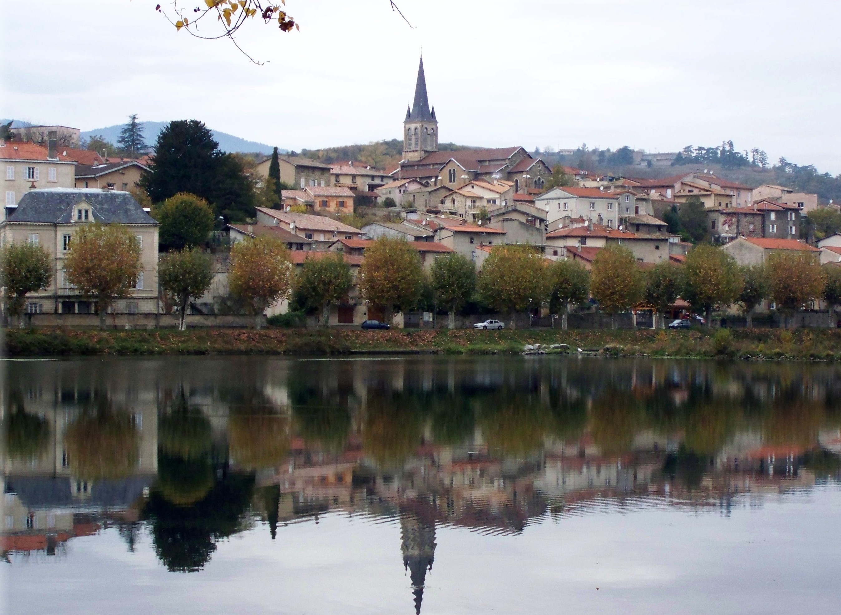
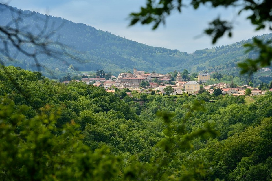
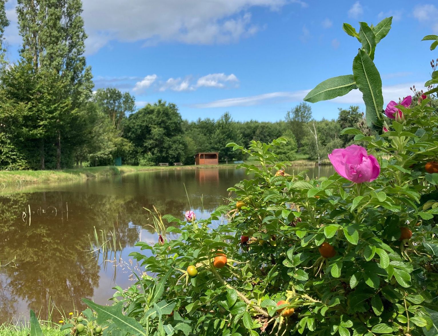
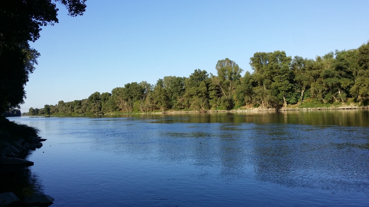
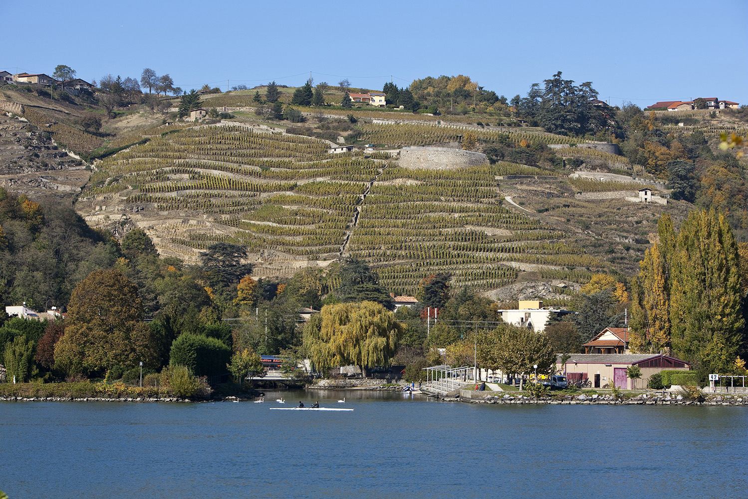
From Condrieu, this hike without great difficulty takes place on the banks of the Rhône. The route partly follows the ViaRhôna and crosses the river at Chavanay, before returning to the starting point. A well laid out and very pleasant trail that deserves to be done when the sun comes up!

Already more than 200,000 users!
Uphill
70m
Highest point
155m
Downhill
70m
Lowest point
120m
Route type
Loop
Download the map on your smartphone to save battery and rest assured to always keep access to the route, even without signal.
Includes IGN France and Swisstopo.
I indicate whether dogs are allowed or prohibited on this trail
All year
1 rating
Also enjoy:

Already more than 200,000 users!