Uphill
839m
France > Auvergne-Rhône-Alpes > Isère > Chartreuse Regional Natural Park
Length
9km
Duration
5h30min
Elev gain
839m
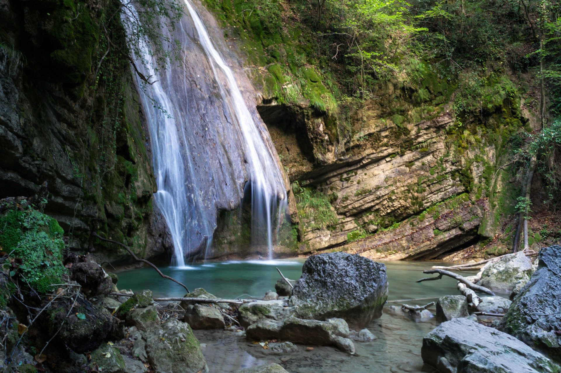
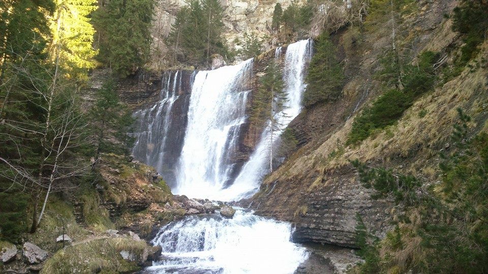
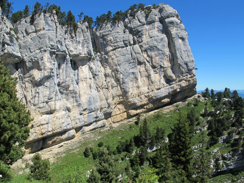
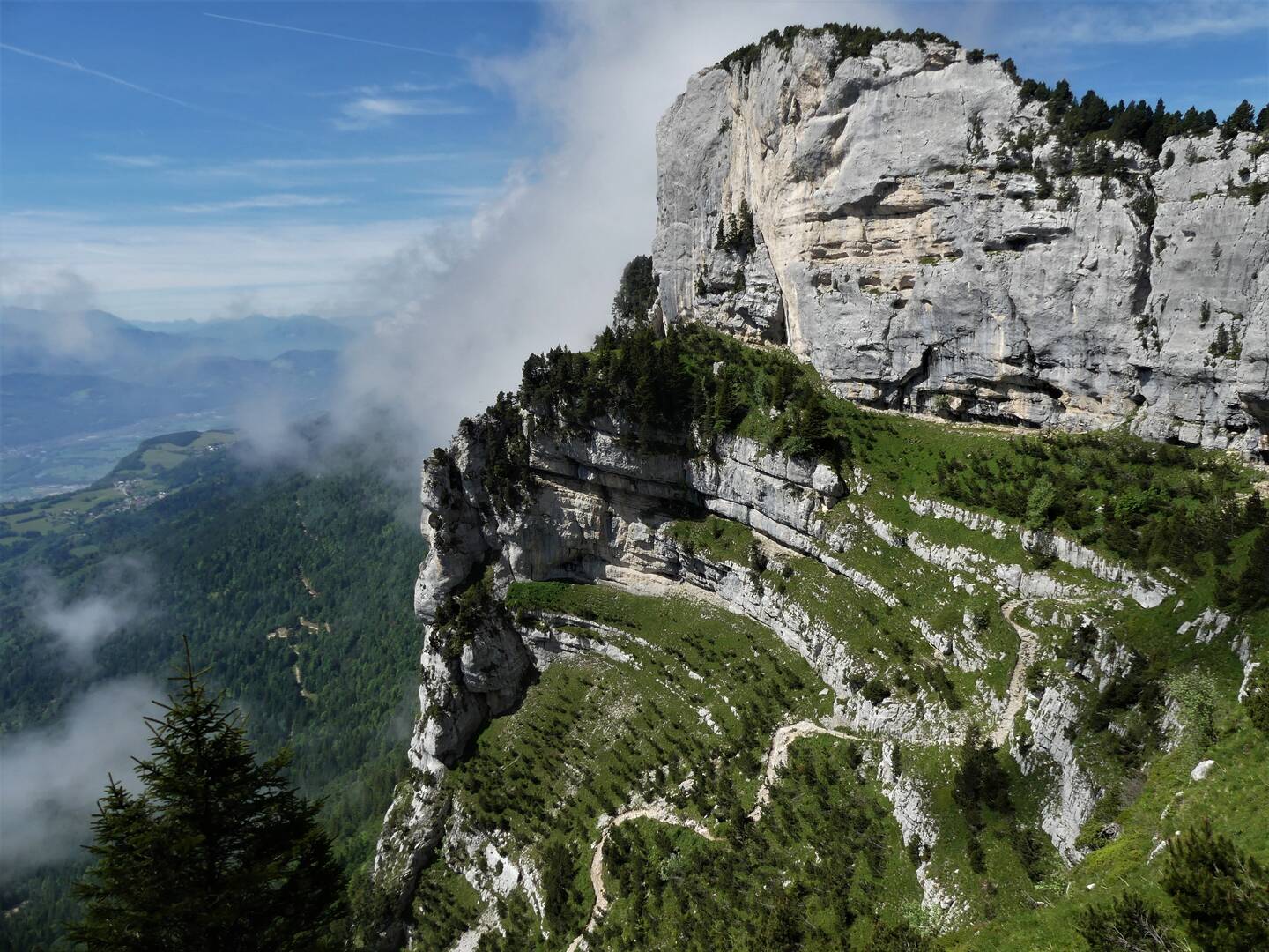
This round-trip hike from Saint-Michel begins in the forest, before climbing the cliff side to La Croix. The path remains wide and secure all along.
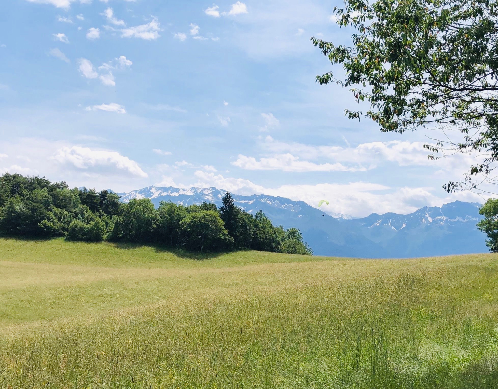
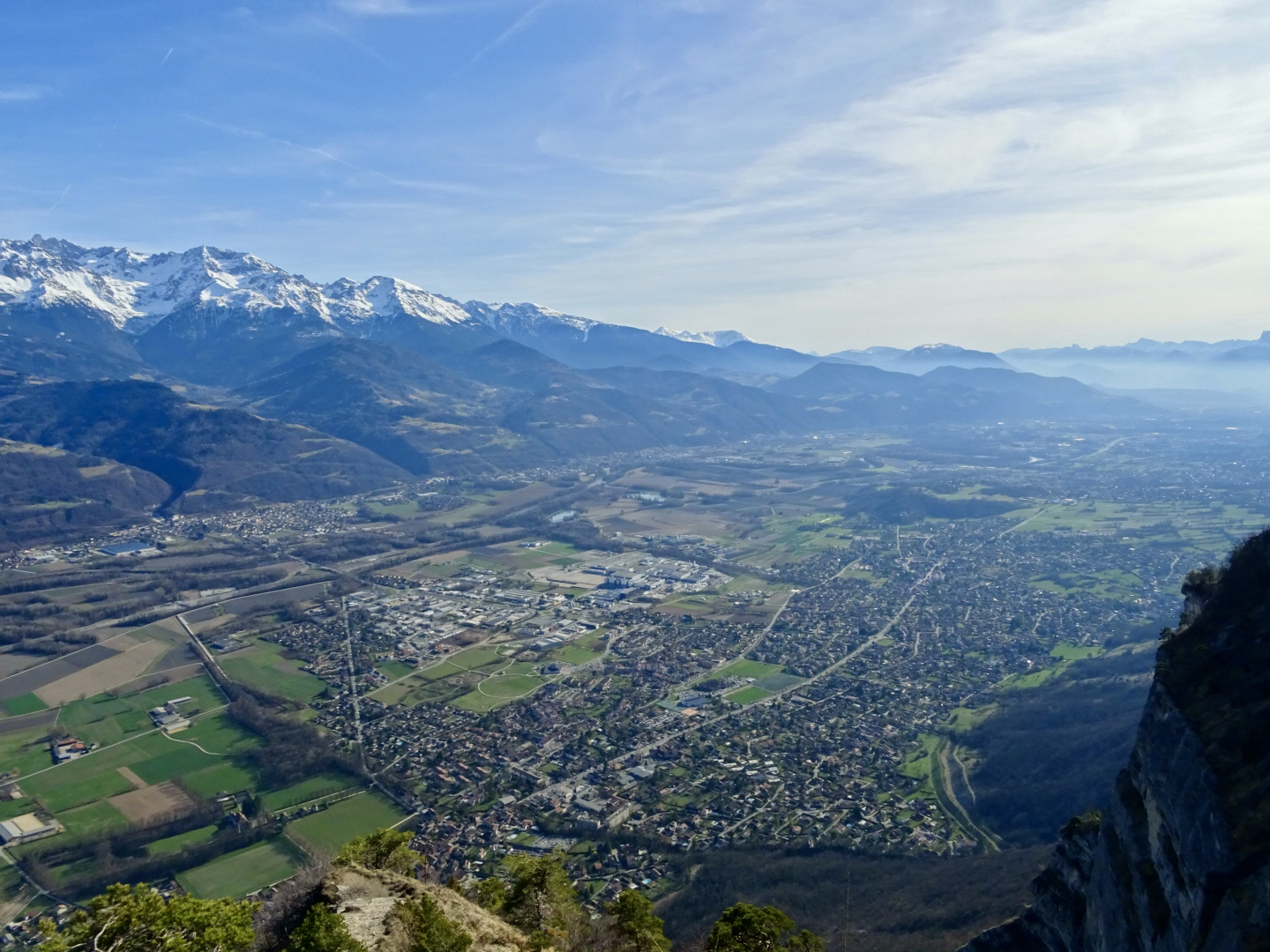
Superb view over the Isère valley and the Belledonne.

Already more than 200,000 users!
Uphill
839m
Highest point
1841m
Downhill
839m
Lowest point
1062m
Route type
There and back
Download the map on your smartphone to save battery and rest assured to always keep access to the route, even without signal.
Includes IGN France and Swisstopo.
I indicate whether dogs are allowed or prohibited on this trail
From May to October
0 ratings
Also enjoy:

Already more than 200,000 users!