Uphill
589m
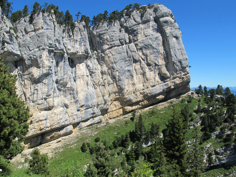
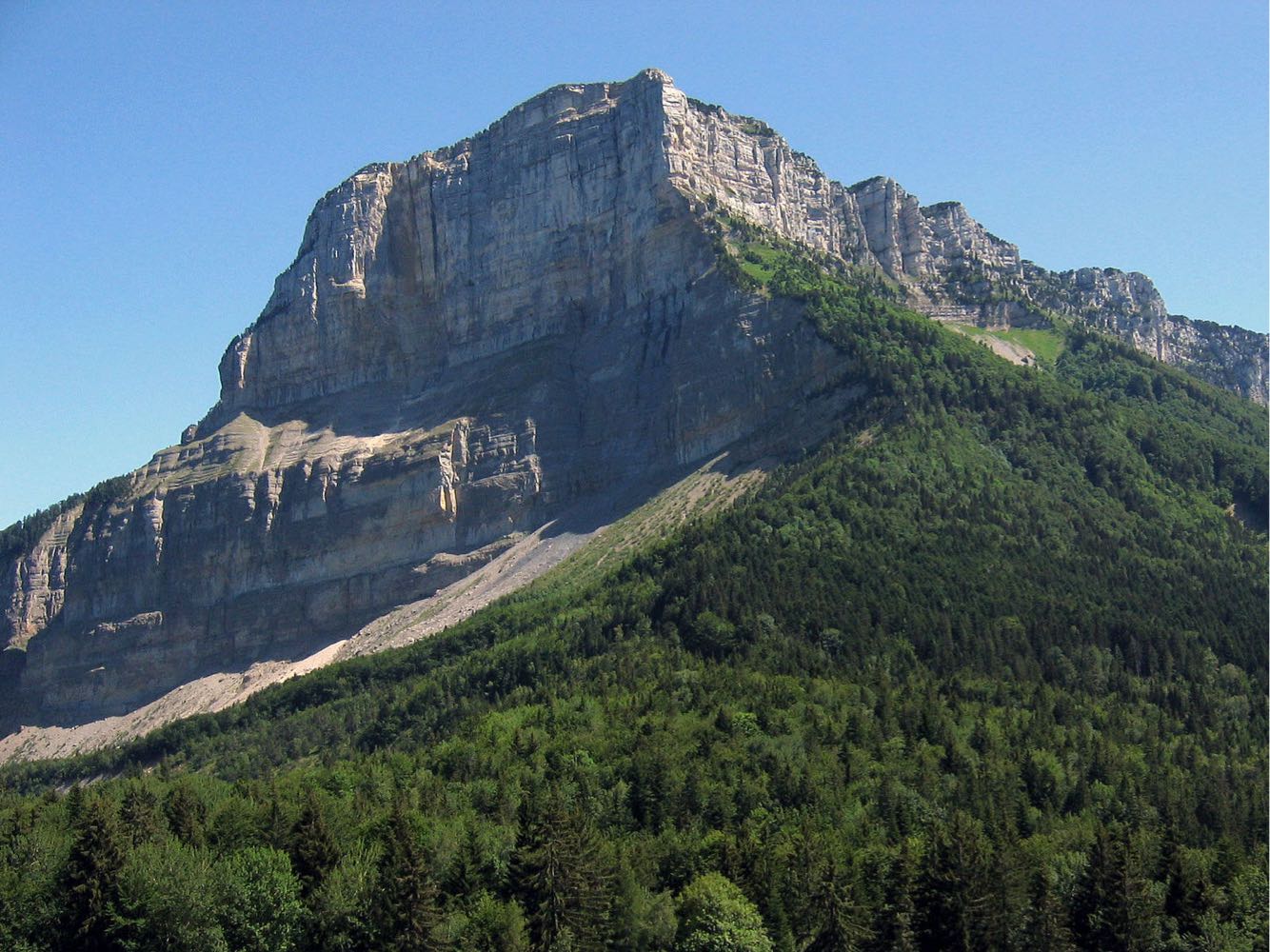
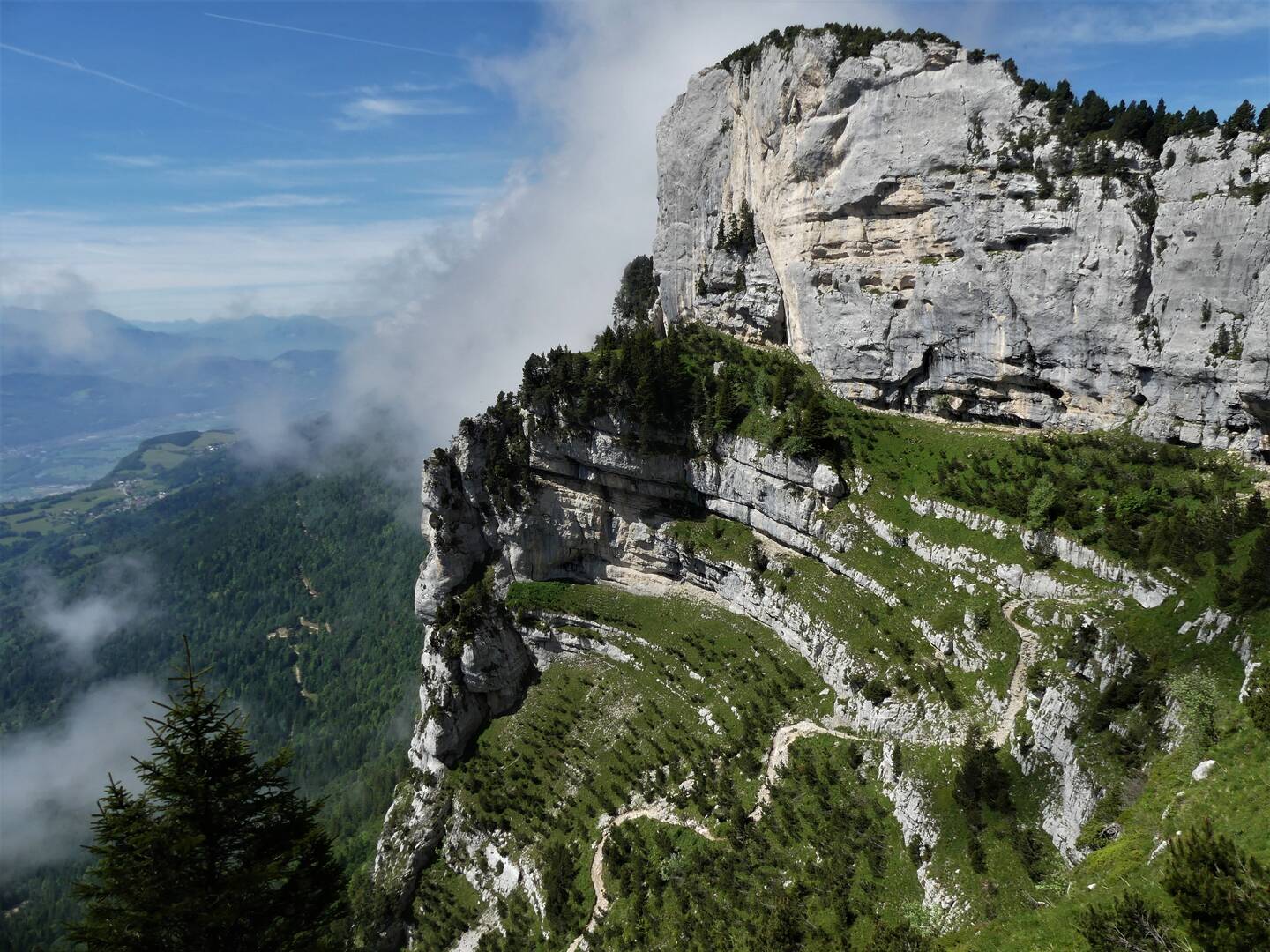
France > Auvergne-Rhône-Alpes > Isère > Chartreuse Regional Natural Park

Already more than 200,000 users!
Uphill
589m
Highest point
1840m
Downhill
589m
Lowest point
1413m
Route type
Loop
Download the map on your smartphone to save battery and rest assured to always keep access to the route, even without signal.
Includes IGN France and Swisstopo.
I indicate whether dogs are allowed or prohibited on this trail
From May to October
1 rating
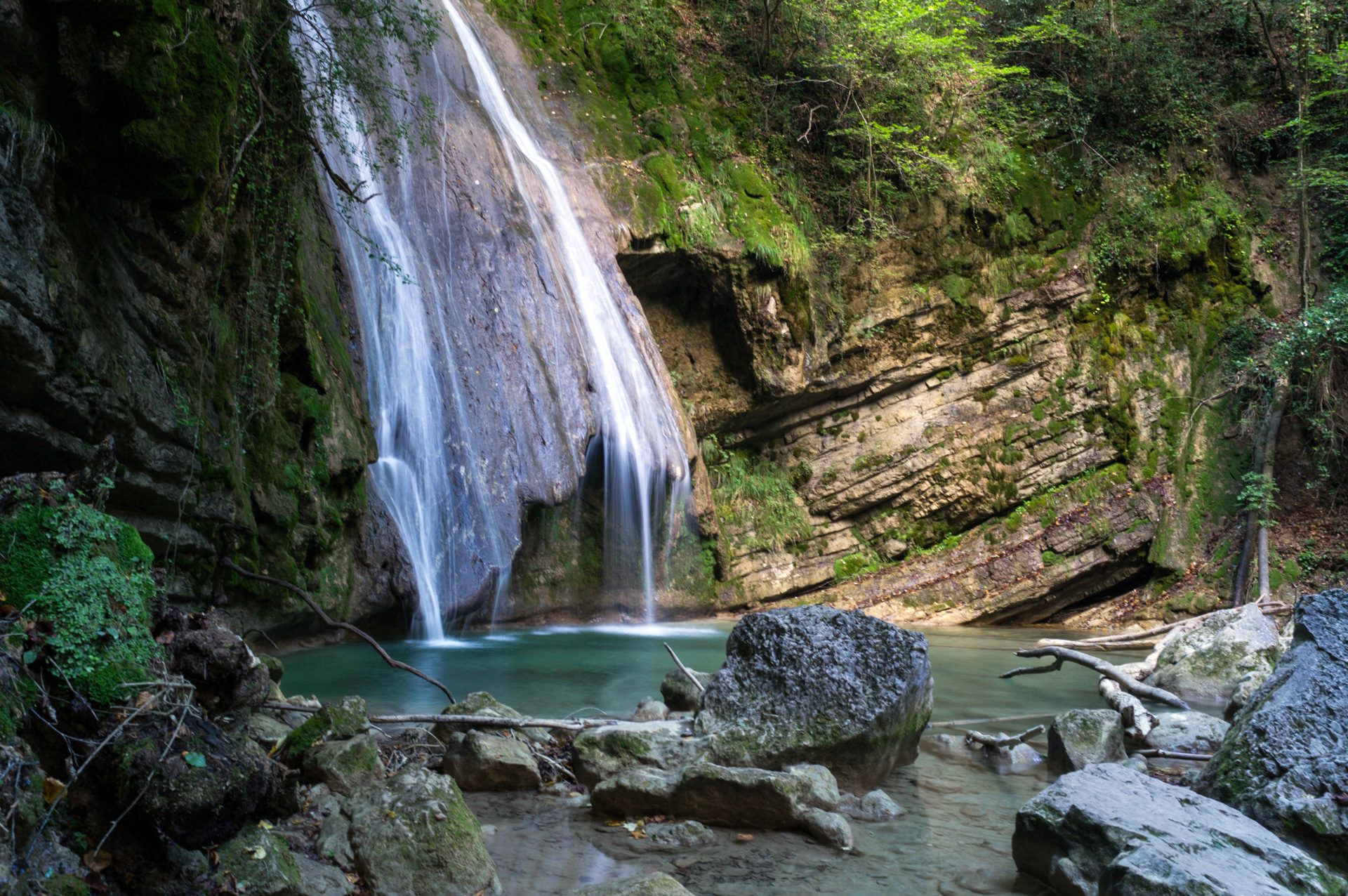
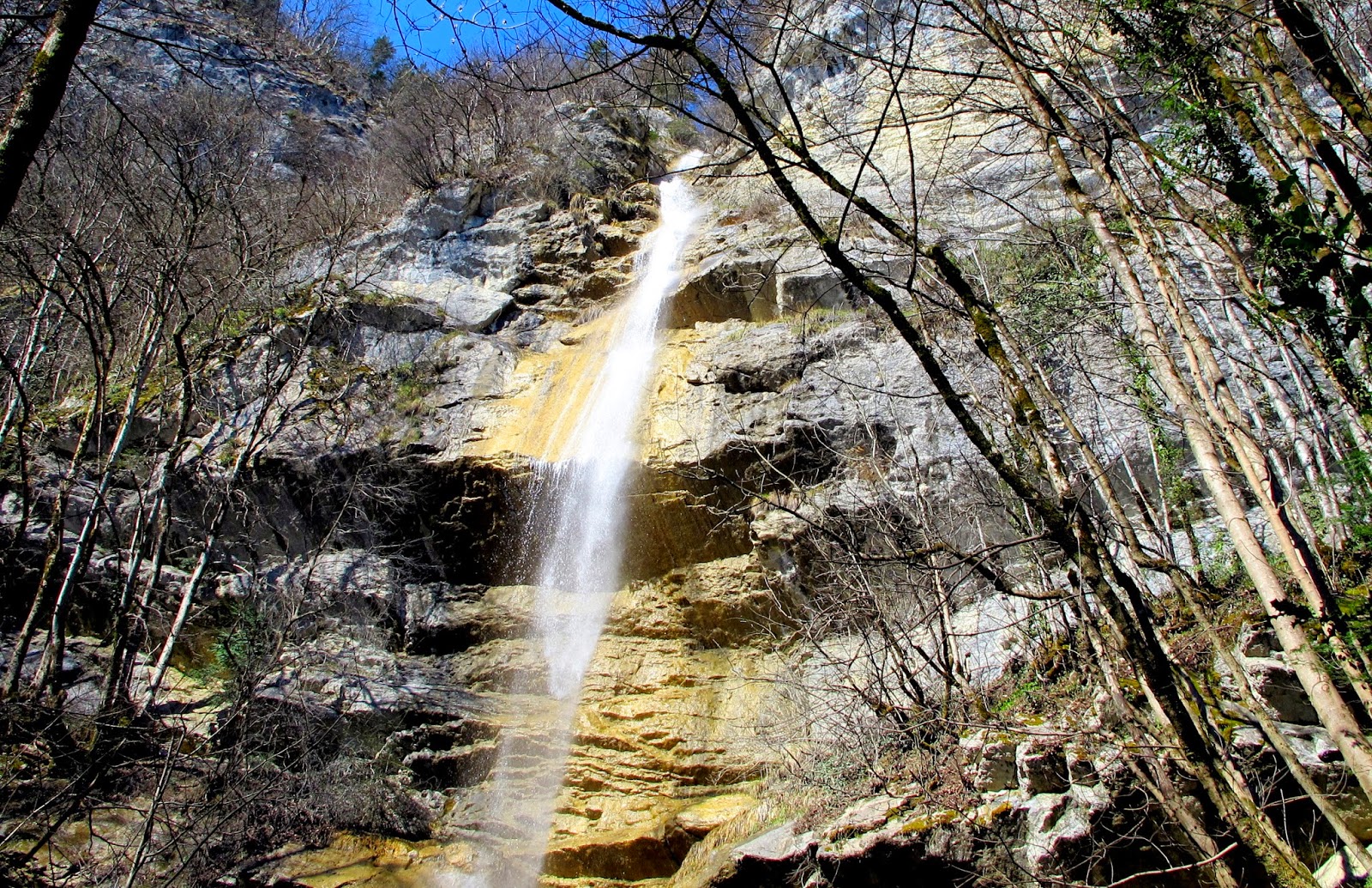
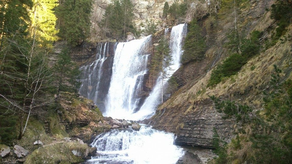
Also enjoy:

Already more than 200,000 users!