Uphill
524m
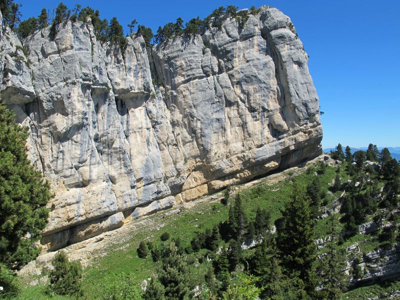
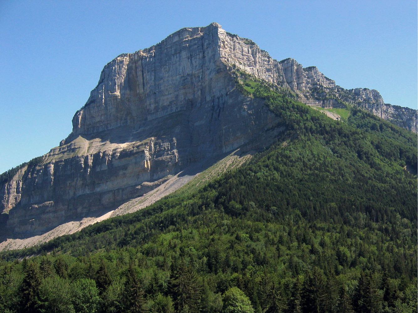
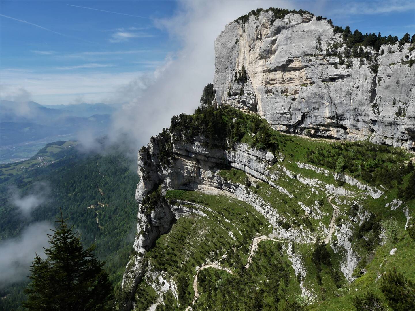
France > Auvergne-Rhône-Alpes > Isère > Chartreuse Regional Natural Park
Length
7km
Duration
3h30min
Elev gain
524m
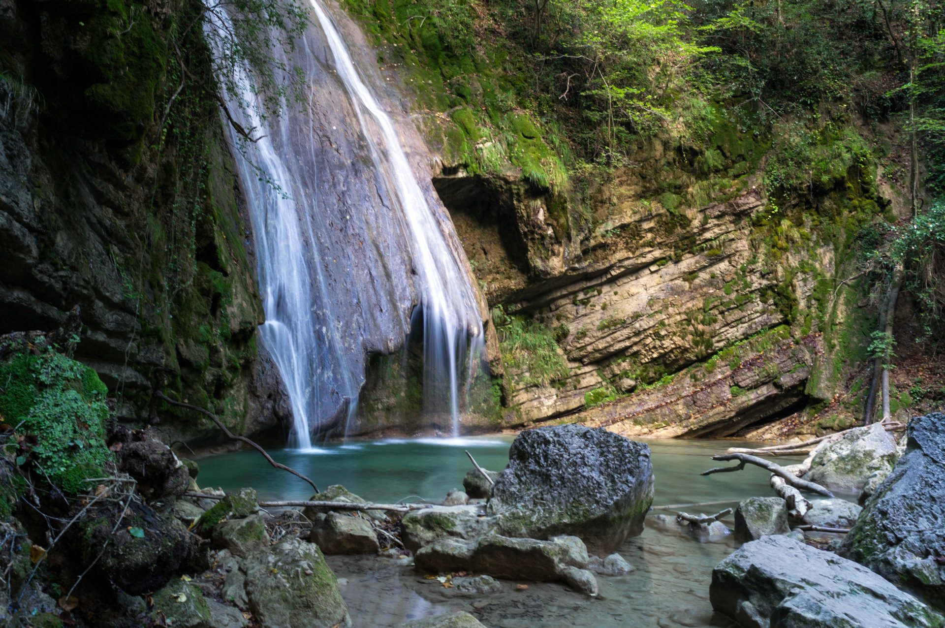
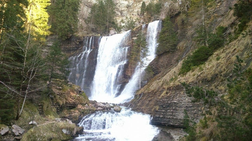
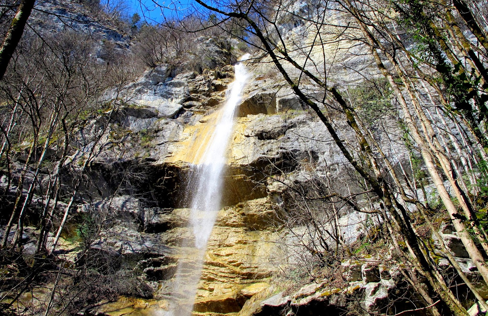
Leaving from Barraux, this hike goes up to the very beautiful Furet waterfall. This loop trail has steep passages that can be slippery in rainy weather. Once at the waterfall, we enjoy the spectacle provided by nature. It is then necessary to take the path back to go down to the starting point.

Already more than 200,000 users!
Uphill
524m
Highest point
813m
Downhill
524m
Lowest point
349m
Route type
Loop
Download the map on your smartphone to save battery and rest assured to always keep access to the route, even without signal.
Includes IGN France and Swisstopo.
I indicate whether dogs are allowed or prohibited on this trail
All year
0 ratings
Also enjoy:

Already more than 200,000 users!