Uphill
1142m
France > Auvergne-Rhône-Alpes > Savoie > Chartreuse Regional Natural Park
Length
12km
Duration
7h30min
Elev gain
1142m
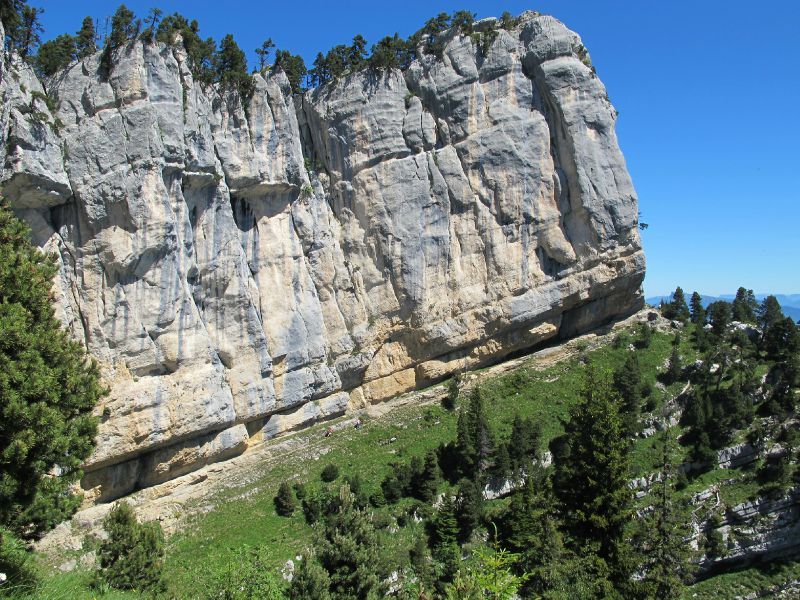
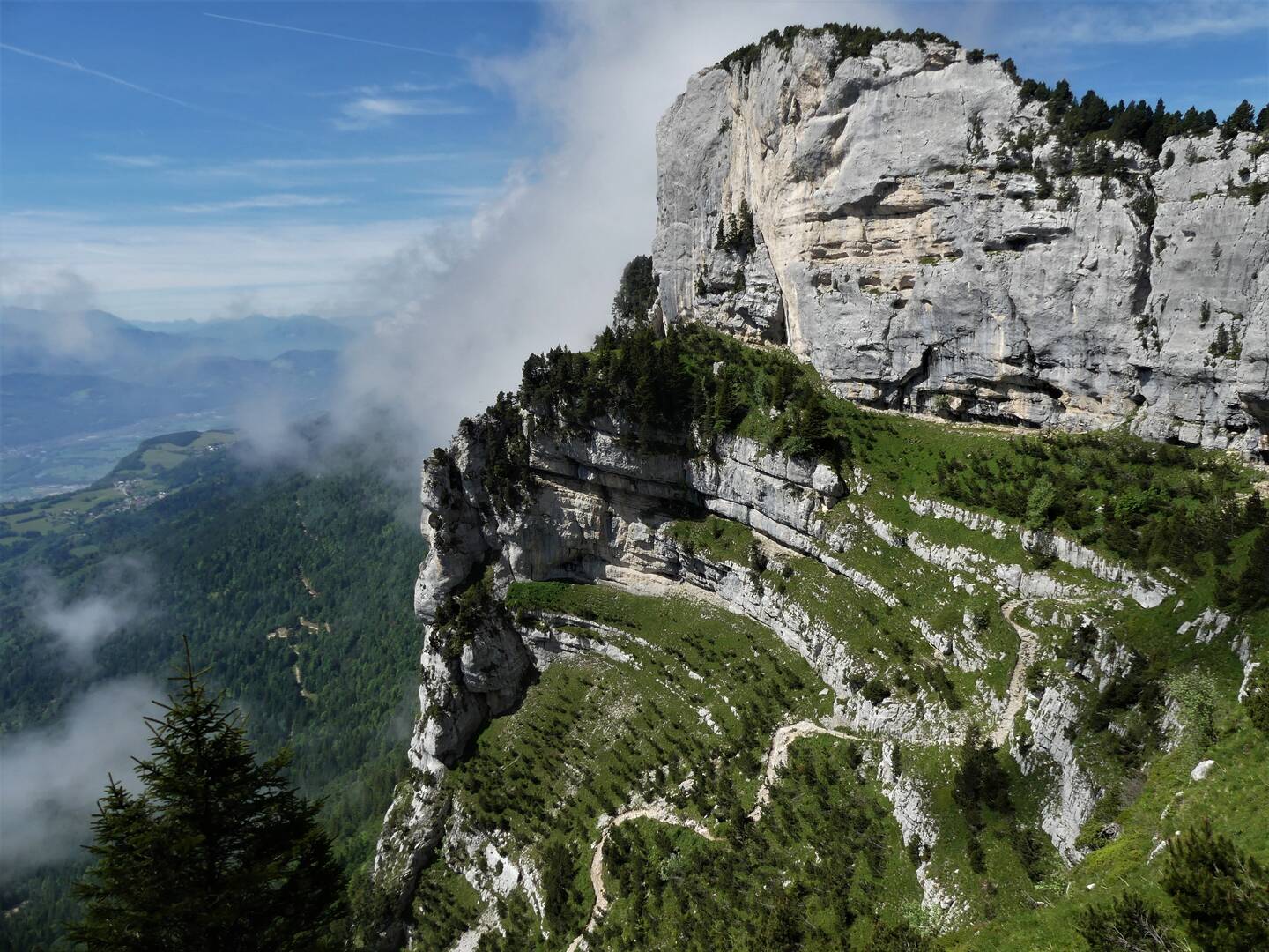
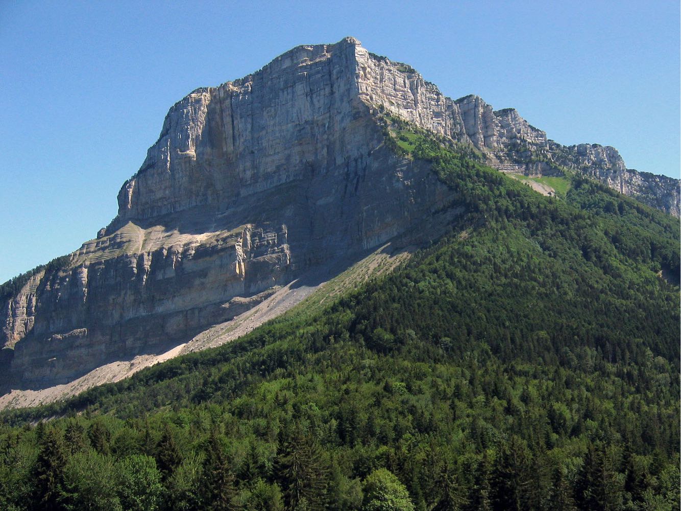
Hike leading to the summit of Mont Granier (1,932 m), famous for its cliff nearly 900 meters high. This is the result of a gigantic landslide that occurred in the 13th century.
360° panorama of the nearby peaks.

Already more than 200,000 users!
Uphill
1142m
Highest point
1913m
Downhill
1142m
Lowest point
1094m
Route type
Loop
Download the map on your smartphone to save battery and rest assured to always keep access to the route, even without signal.
Includes IGN France and Swisstopo.
I indicate whether dogs are allowed or prohibited on this trail
From May to October
2 ratings
Also enjoy:

Already more than 200,000 users!