Uphill
21m
France > Auvergne-Rhône-Alpes > Isère > Chartreuse Regional Natural Park
Length
2km
Duration
30min
Elev gain
21m
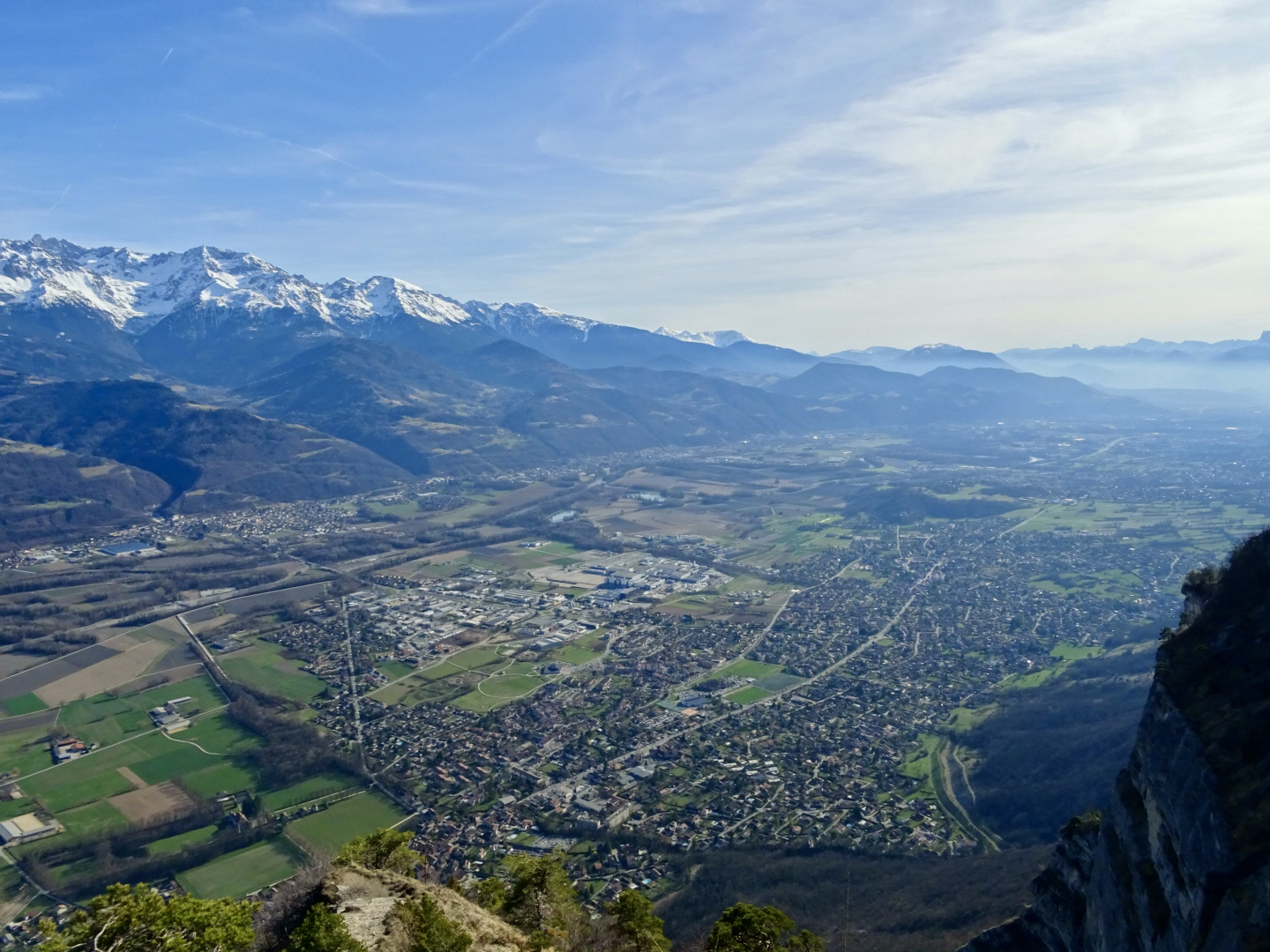
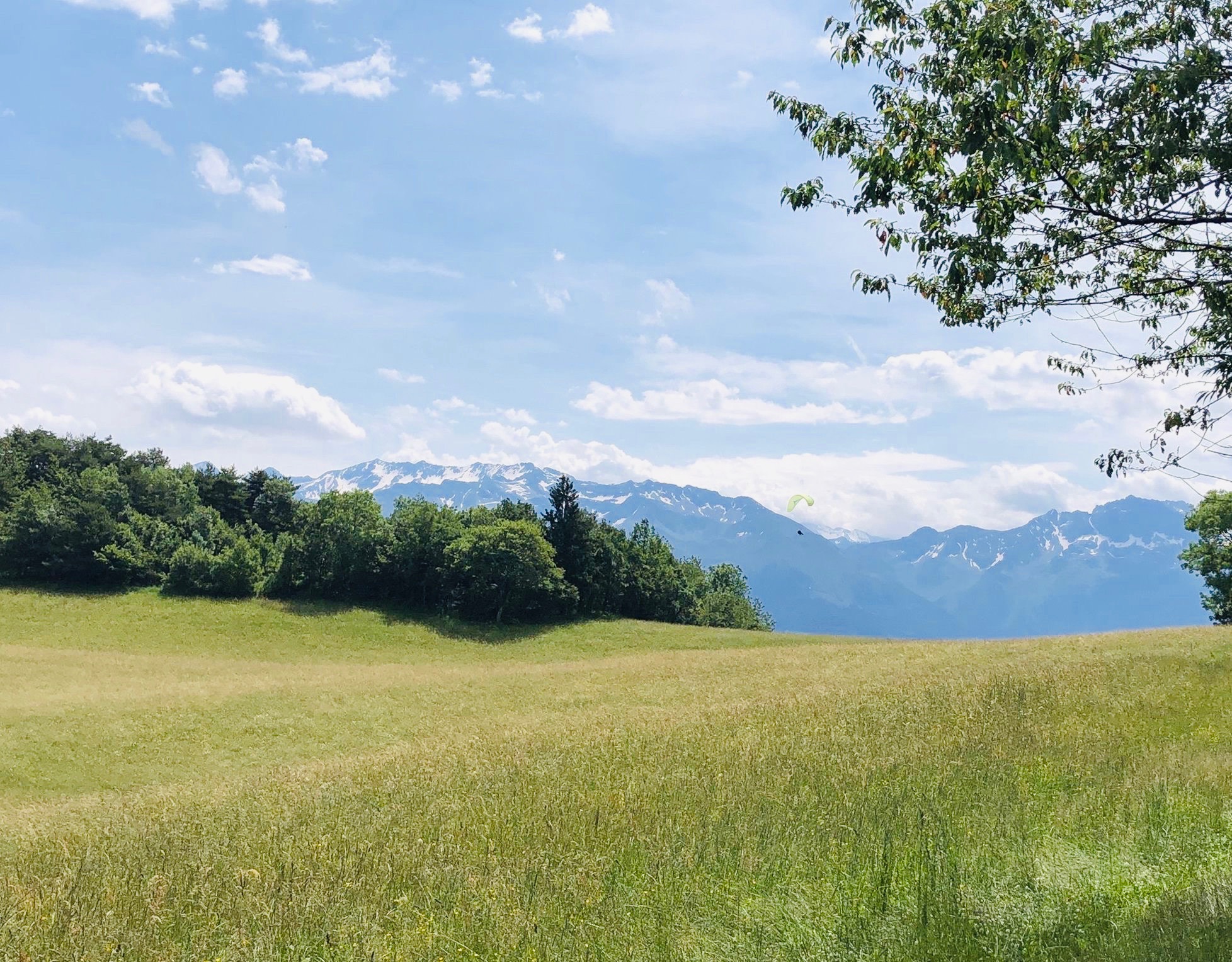
Here is an easy walk that will suit the whole family. The route begins in Saint-Hilaire-du-Touvet, a small mountain village and a veritable playground for paragliders. The path crosses pretty pastures, then passes by a small chapel and climbs to the top of Cotemine, where the view of the Belledonne range and the valley is splendid.

Already more than 200,000 users!
Uphill
21m
Highest point
975m
Downhill
21m
Lowest point
955m
Route type
Loop
Download the map on your smartphone to save battery and rest assured to always keep access to the route, even without signal.
Includes IGN France and Swisstopo.
I indicate whether dogs are allowed or prohibited on this trail
Can be difficult in Winter
0 ratings
Also enjoy:

Already more than 200,000 users!