Uphill
1105m
France > Auvergne-Rhône-Alpes > Isère > Chartreuse Regional Natural Park
Length
13km
Duration
7h30min
Elev gain
1105m
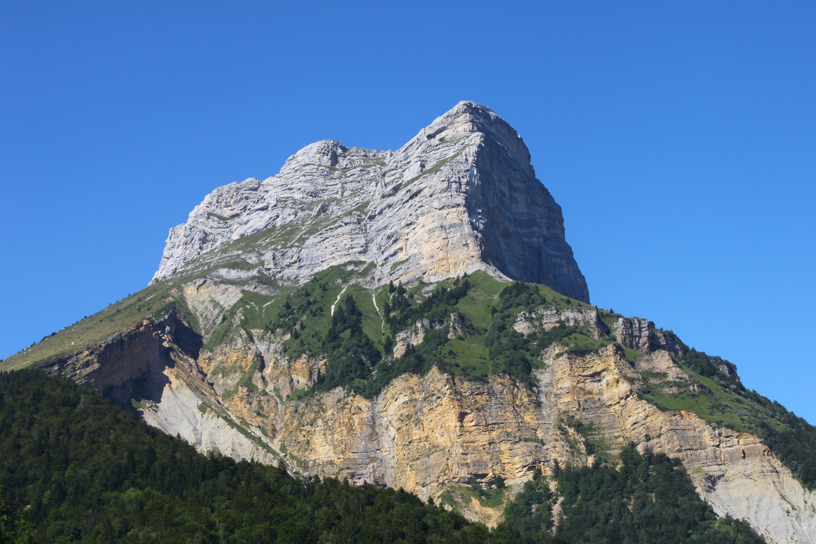
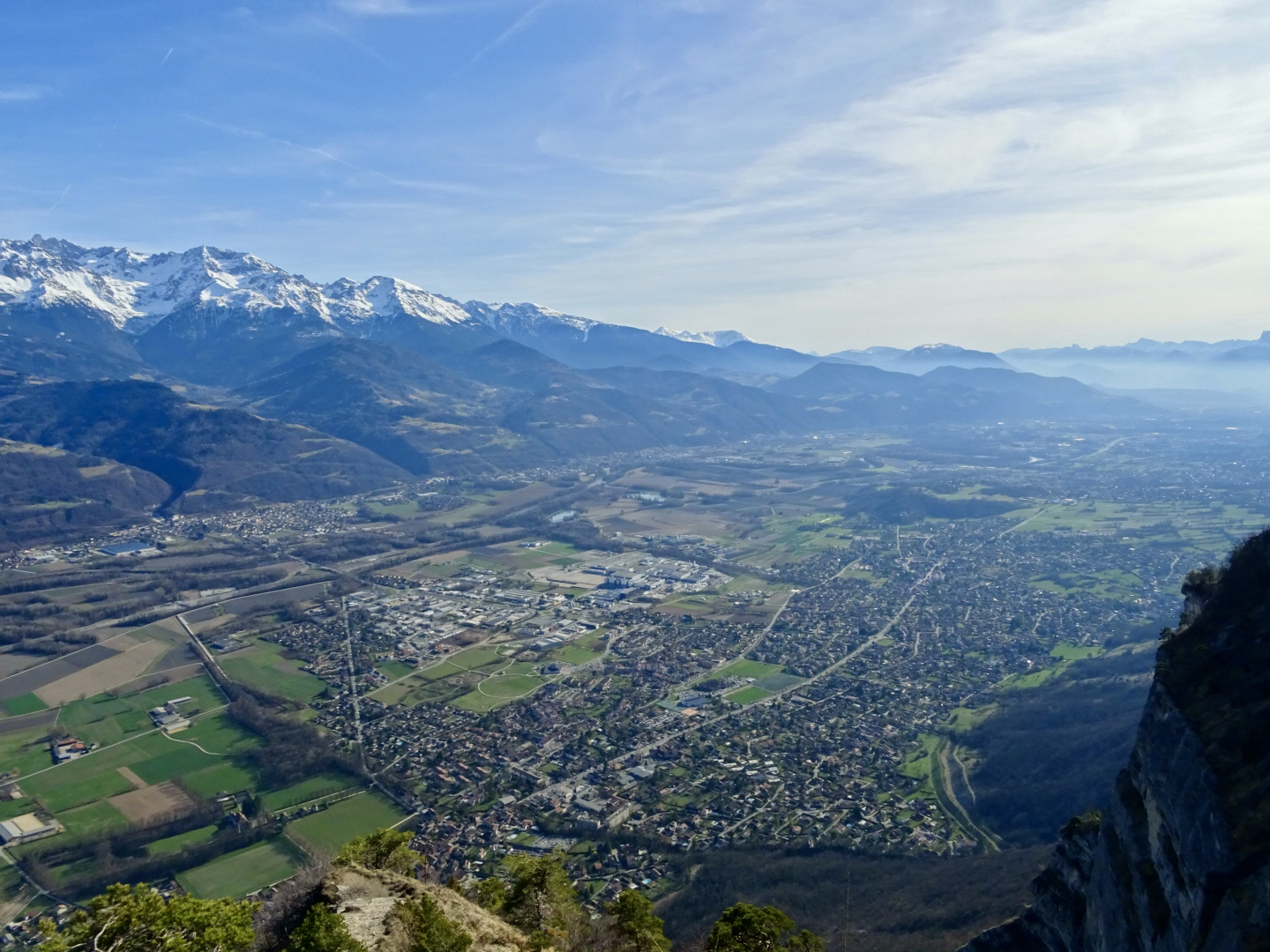
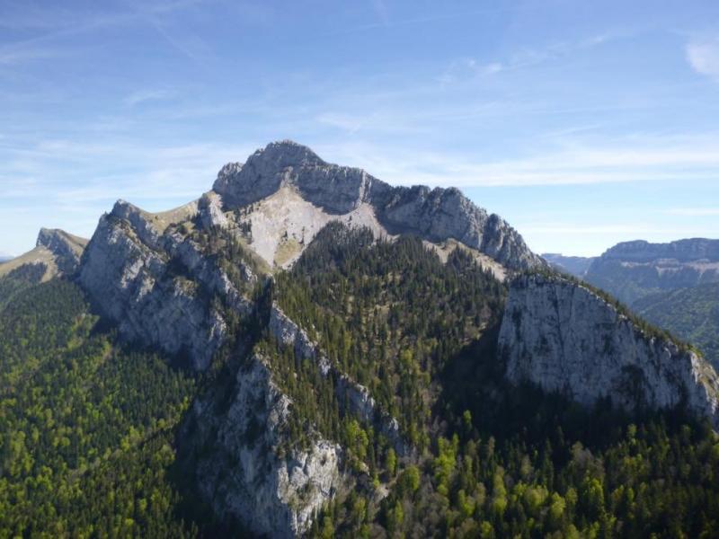
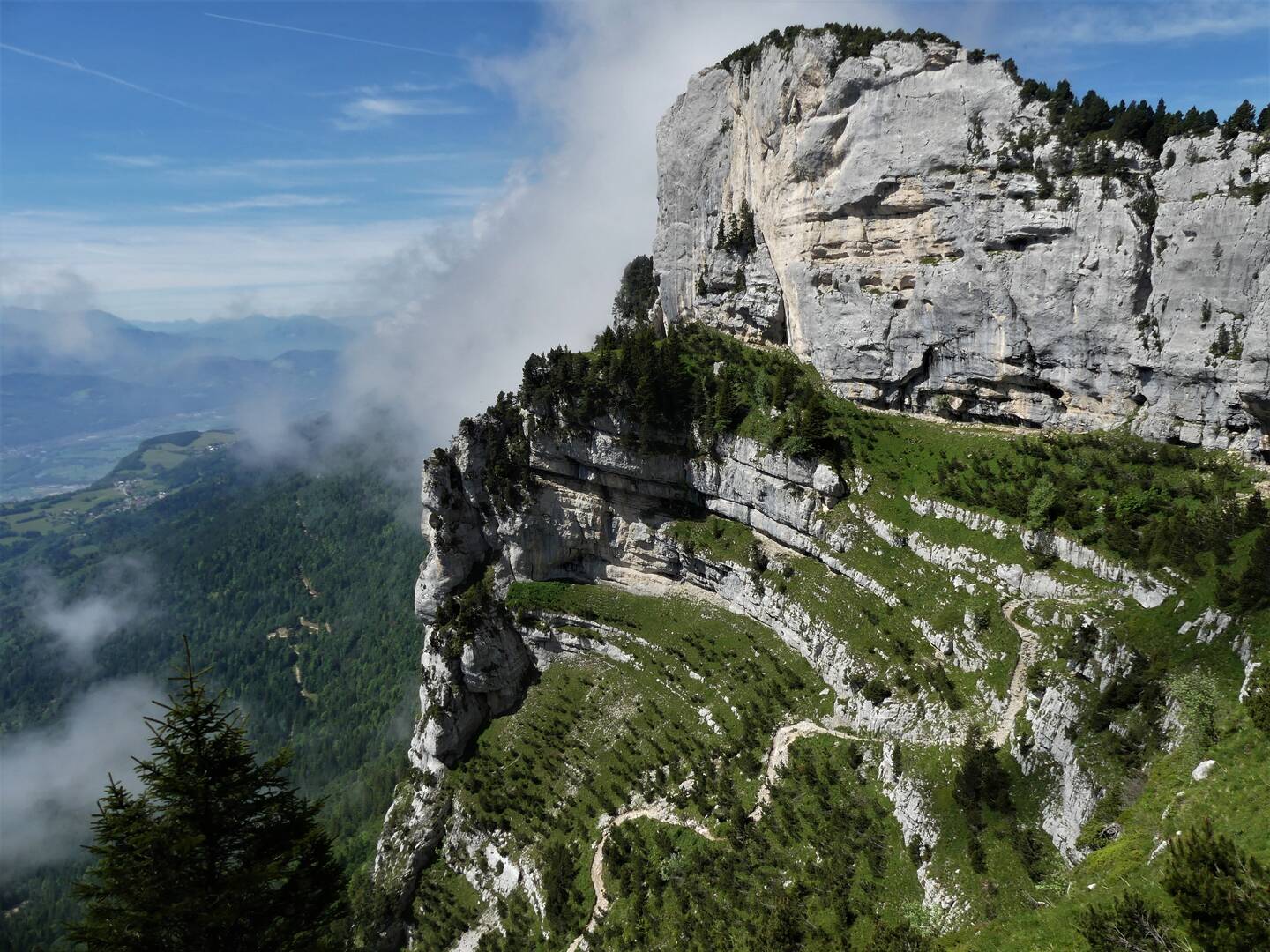
Starting from Perquelin, this route offers a significant difference in altitude, mainly in the forest, to reach the dome of Bellefont (1,975 m). This offers a dizzying view of the Chartreuse massif, stretching as far as Mont-Blanc.

Already more than 200,000 users!
Uphill
1105m
Highest point
1972m
Downhill
1105m
Lowest point
976m
Route type
Loop
Download the map on your smartphone to save battery and rest assured to always keep access to the route, even without signal.
Includes IGN France and Swisstopo.
I indicate whether dogs are allowed or prohibited on this trail
From May to October
0 ratings
Also enjoy:

Already more than 200,000 users!