Uphill
1293m
France > Auvergne-Rhône-Alpes > Isère > Chartreuse Regional Natural Park
Length
13km
Duration
8h30min
Elev gain
1293m
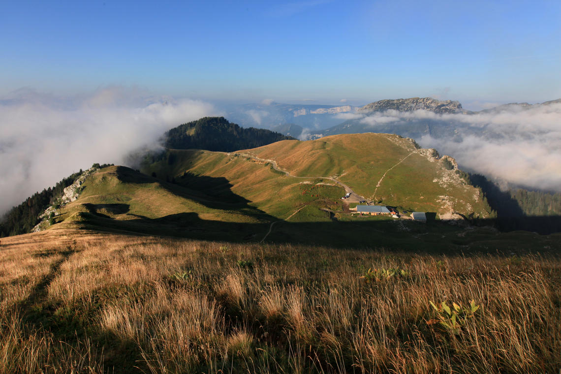
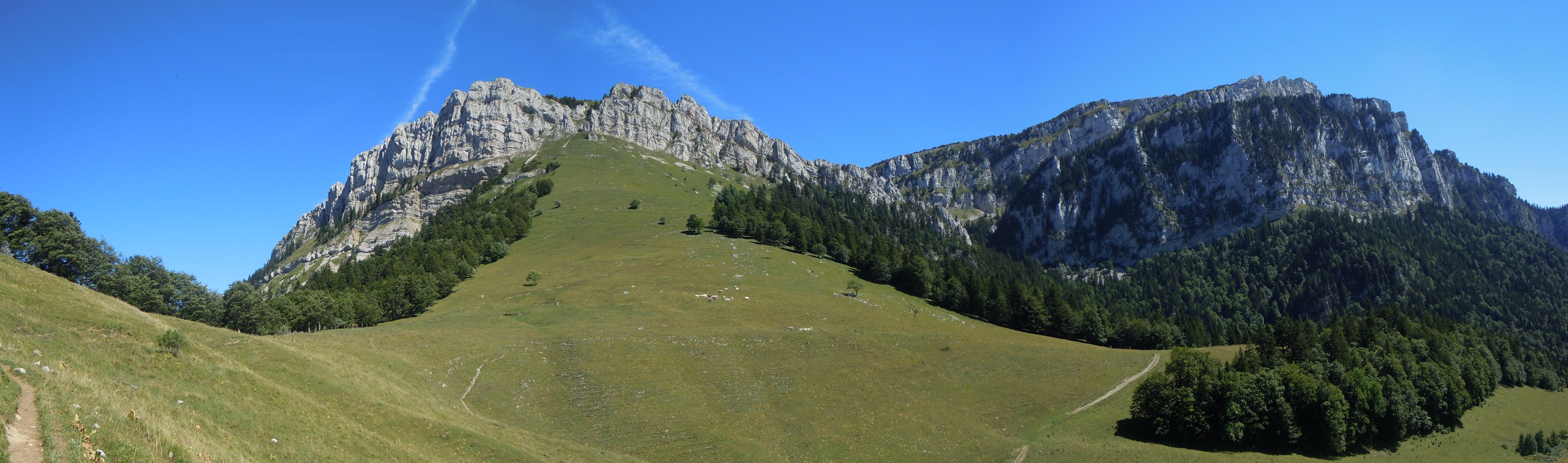
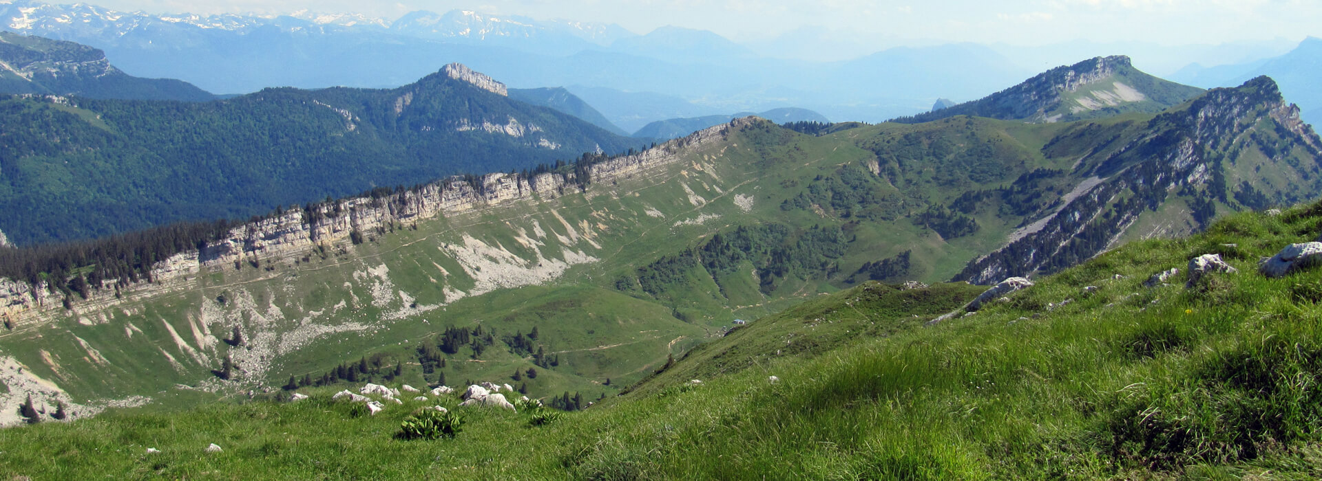
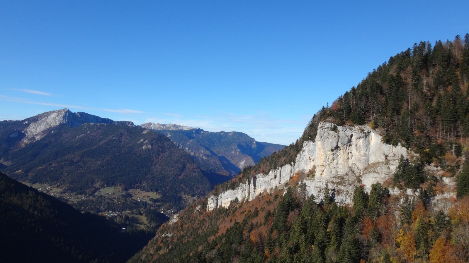
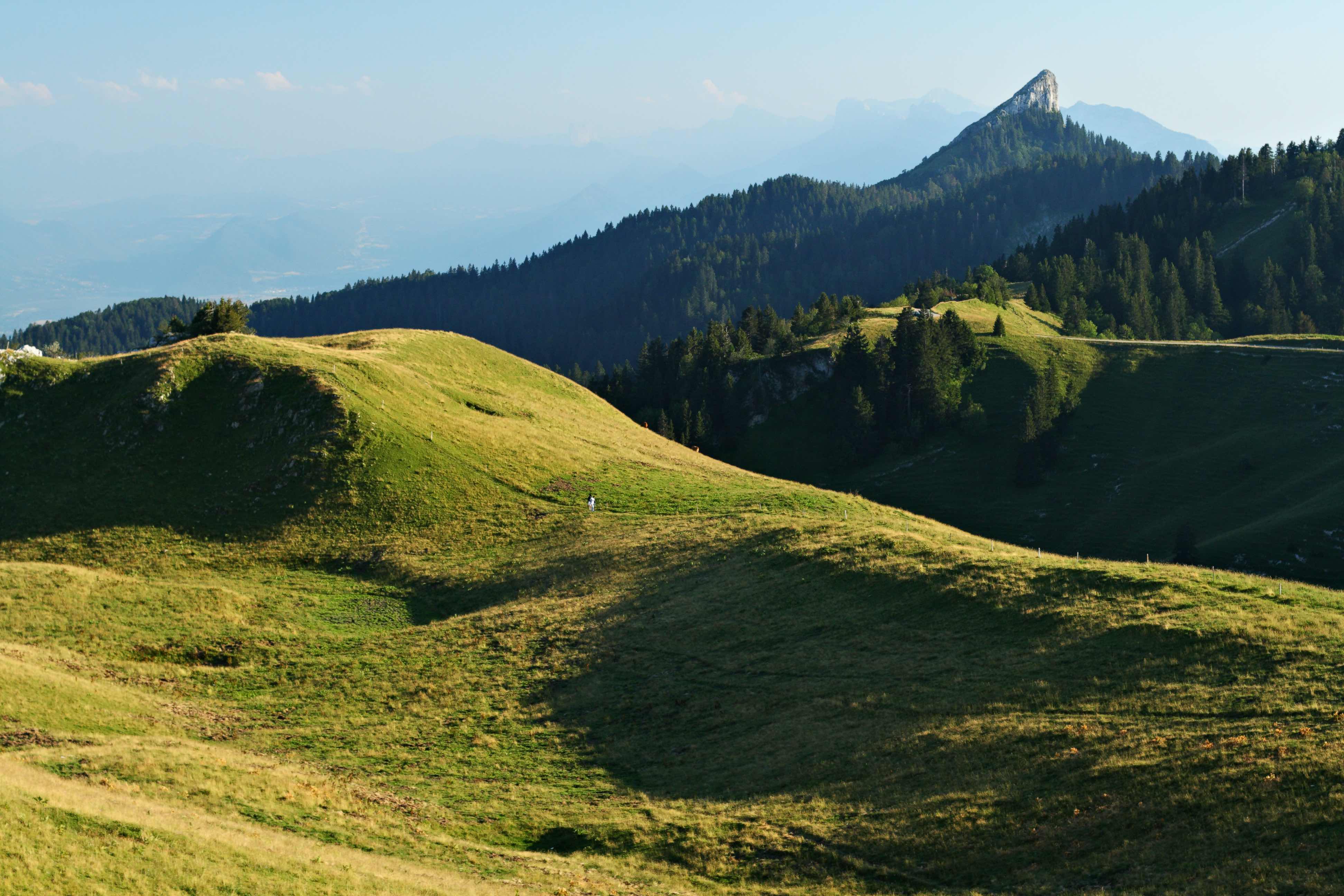
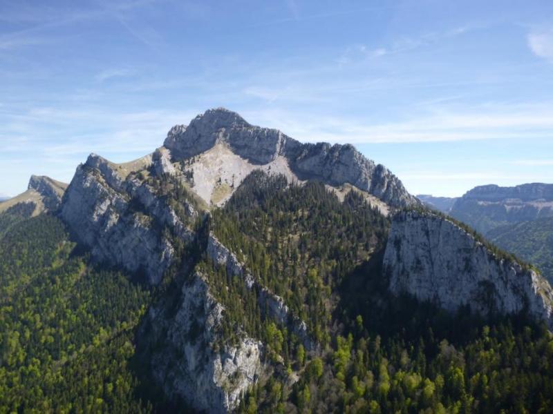
The majestic cliffs of Grand Som dominate the monastery of Grande-Chartreuse, place of production of the famous green liqueur. At the start of the monastery, this hike allows you to reach the summit (2026 m), and to enjoy a magnificent view of the surroundings.

Already more than 200,000 users!
Uphill
1293m
Highest point
2002m
Downhill
1293m
Lowest point
844m
Route type
Loop
Download the map on your smartphone to save battery and rest assured to always keep access to the route, even without signal.
Includes IGN France and Swisstopo.
I indicate whether dogs are allowed or prohibited on this trail
From May to September
4 ratings
Une super rando, avec un gros dénivelé ! Quelques passages un peu techniques, notamment avec des éboulis donc un sol instable. Je conseille d’être bien chaussé.
Malheureusement le ciel était couvert donc vue limitée, mais la ligne de crête doit offrir un panorama exceptionnel par beau temps.
Also enjoy:

Already more than 200,000 users!