Uphill
951m
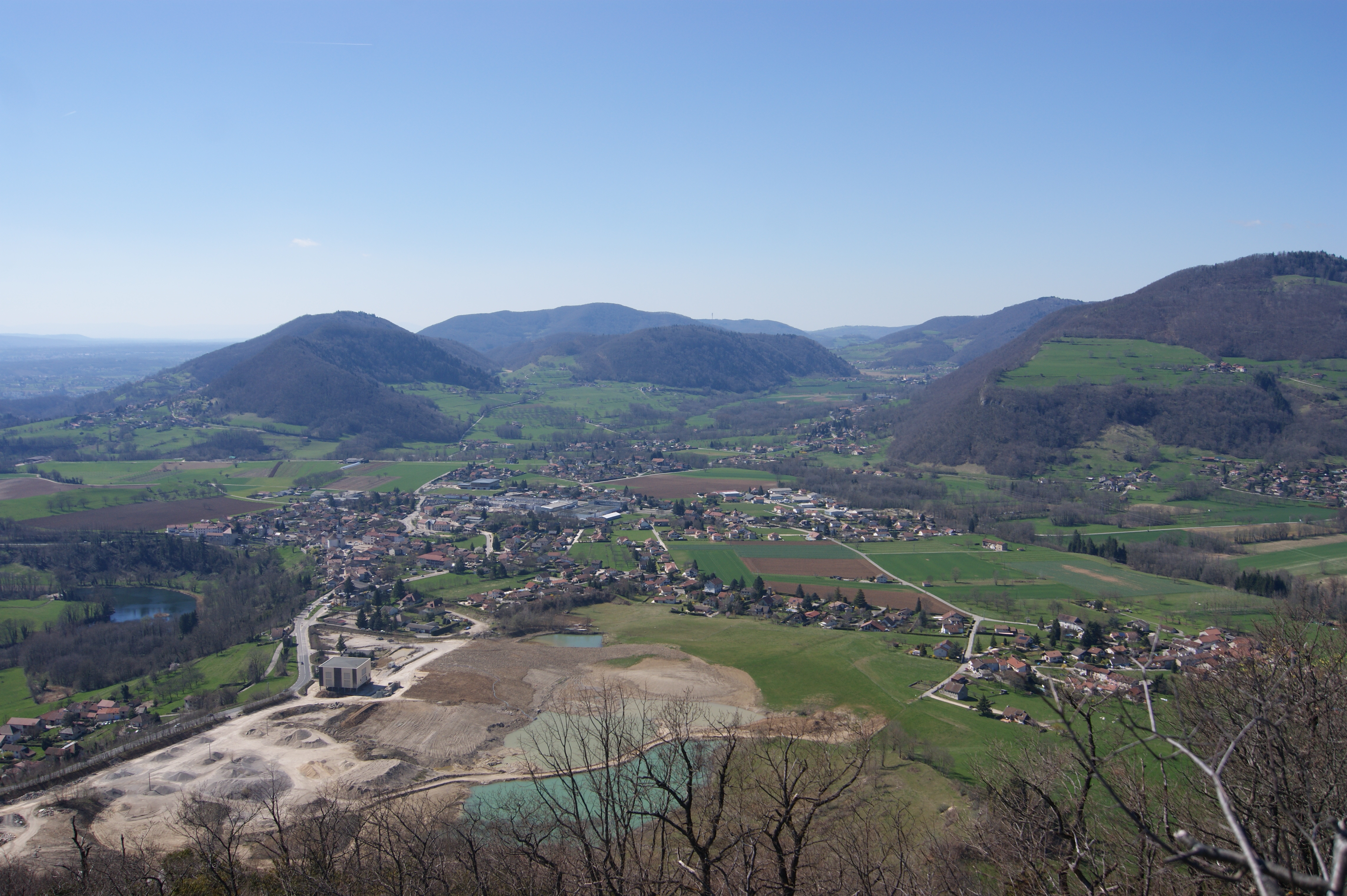
France > Auvergne-Rhône-Alpes > Isère > Chartreuse Regional Natural Park
Length
15km
Duration
7h
Elev gain
951m
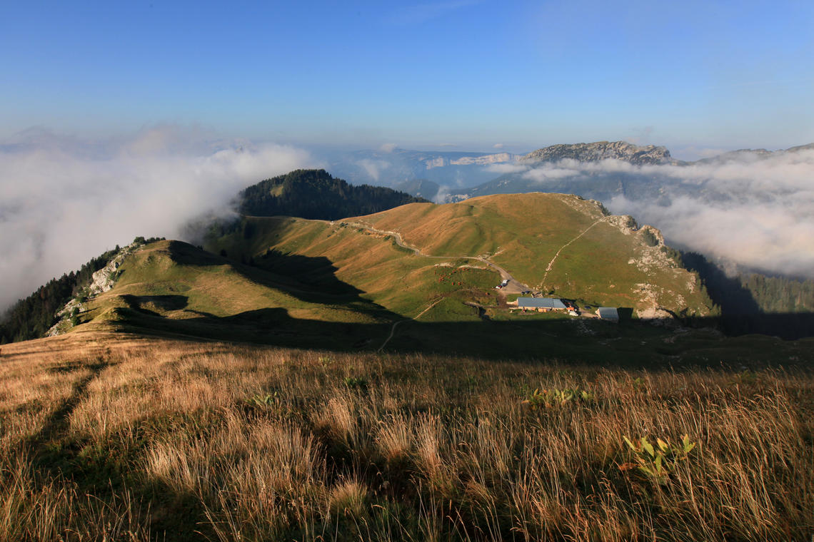
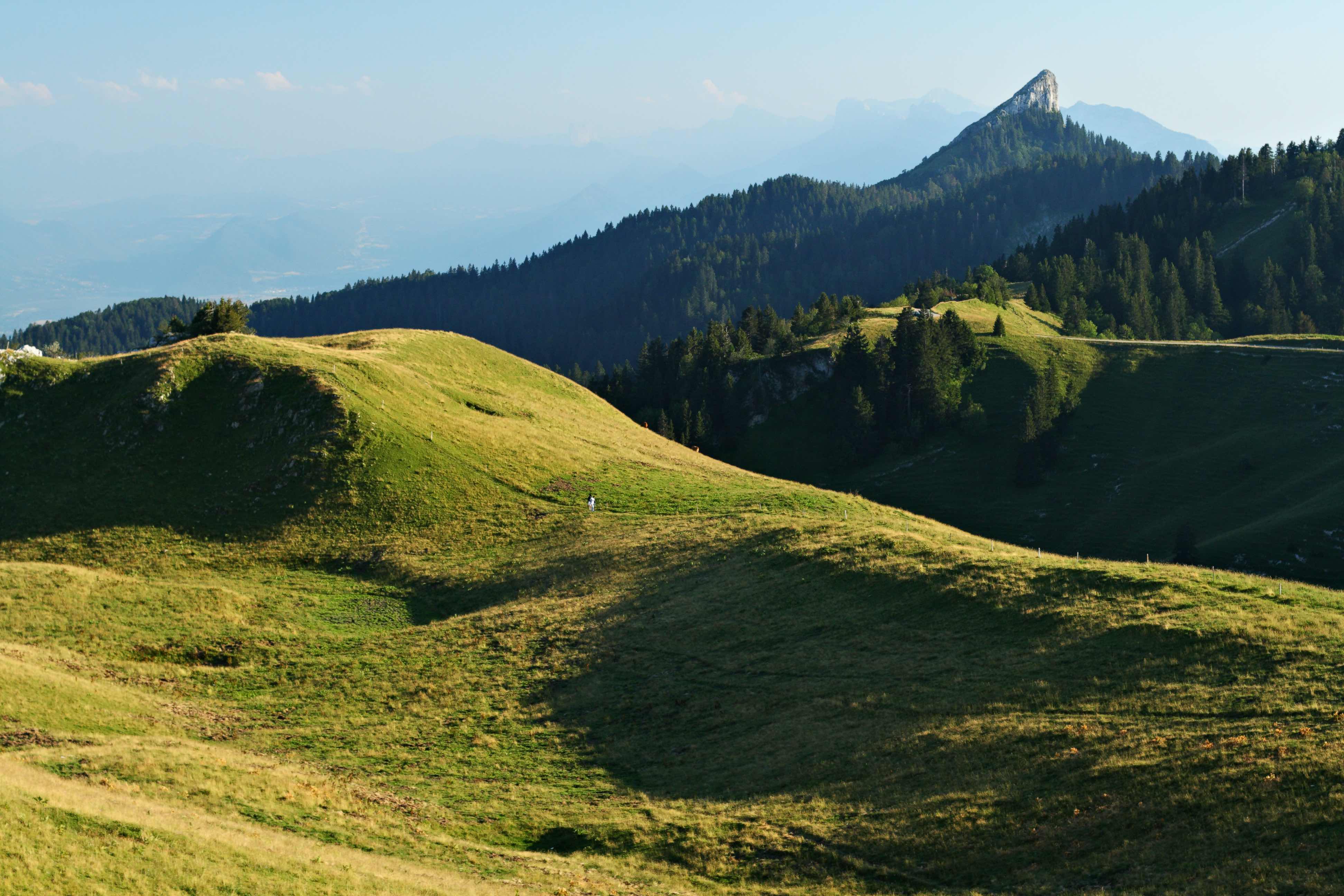
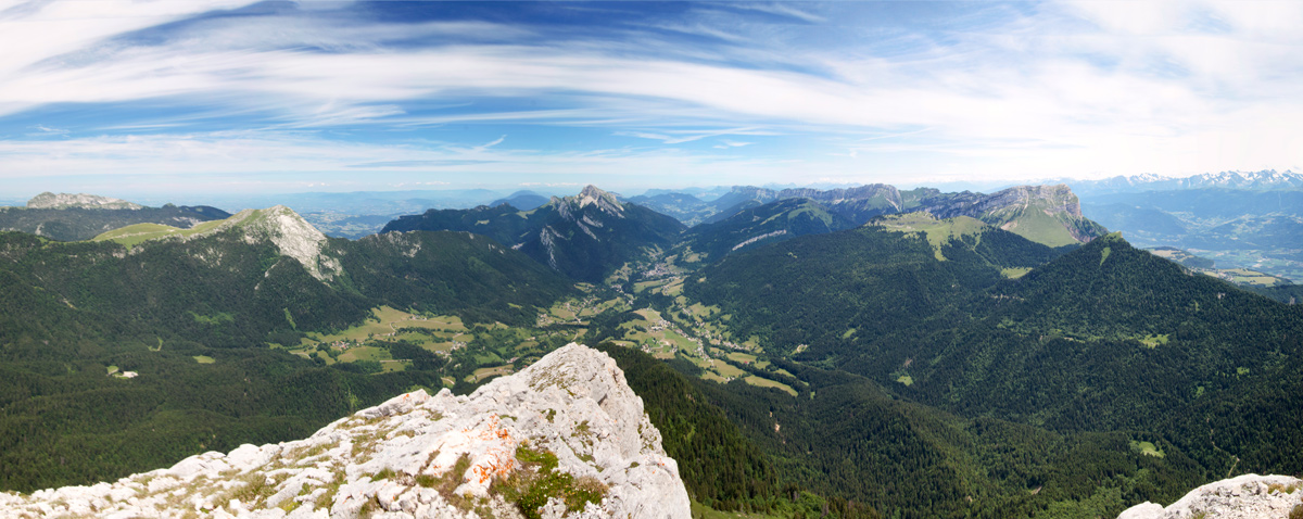
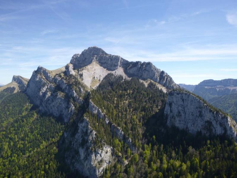
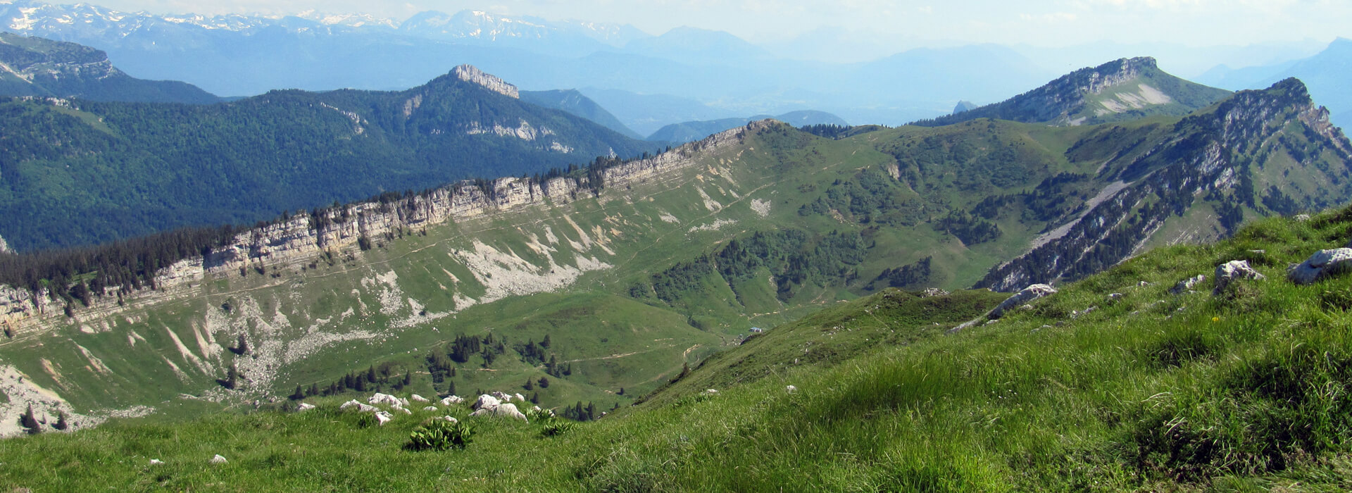
Starting from the Col de la Charmette, this route passes through the Goulet d'Hurtières then the Col de la Grande Vache, before reaching the Grande Sure (1,920 m). A varied walk between forest and cliffs, also offering very beautiful viewpoints.

Already more than 200,000 users!
Uphill
951m
Highest point
1912m
Downhill
951m
Lowest point
1265m
Route type
Loop
Download the map on your smartphone to save battery and rest assured to always keep access to the route, even without signal.
Includes IGN France and Swisstopo.
I indicate whether dogs are allowed or prohibited on this trail
From May to October
0 ratings
Also enjoy:

Already more than 200,000 users!