Uphill
231m
France > Auvergne-Rhône-Alpes > Isère > Chartreuse Regional Natural Park
Length
3km
Duration
1h30min
Elev gain
231m
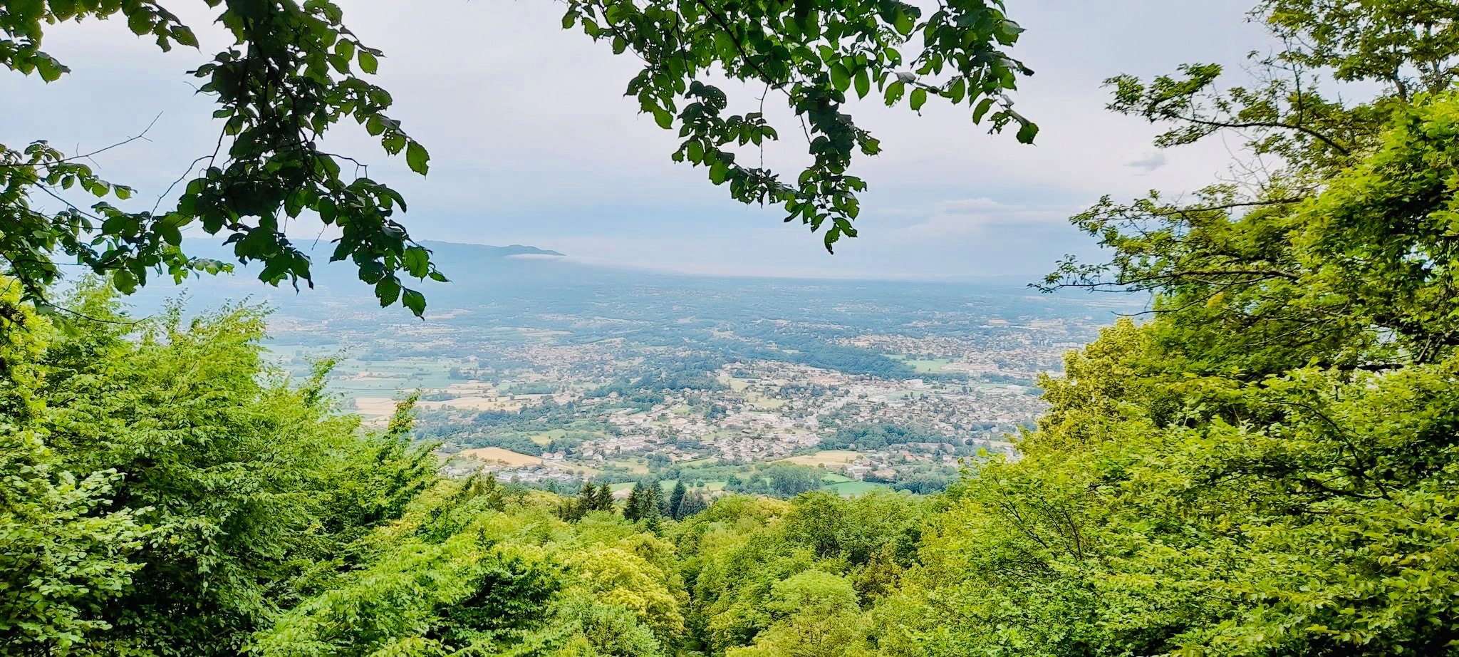
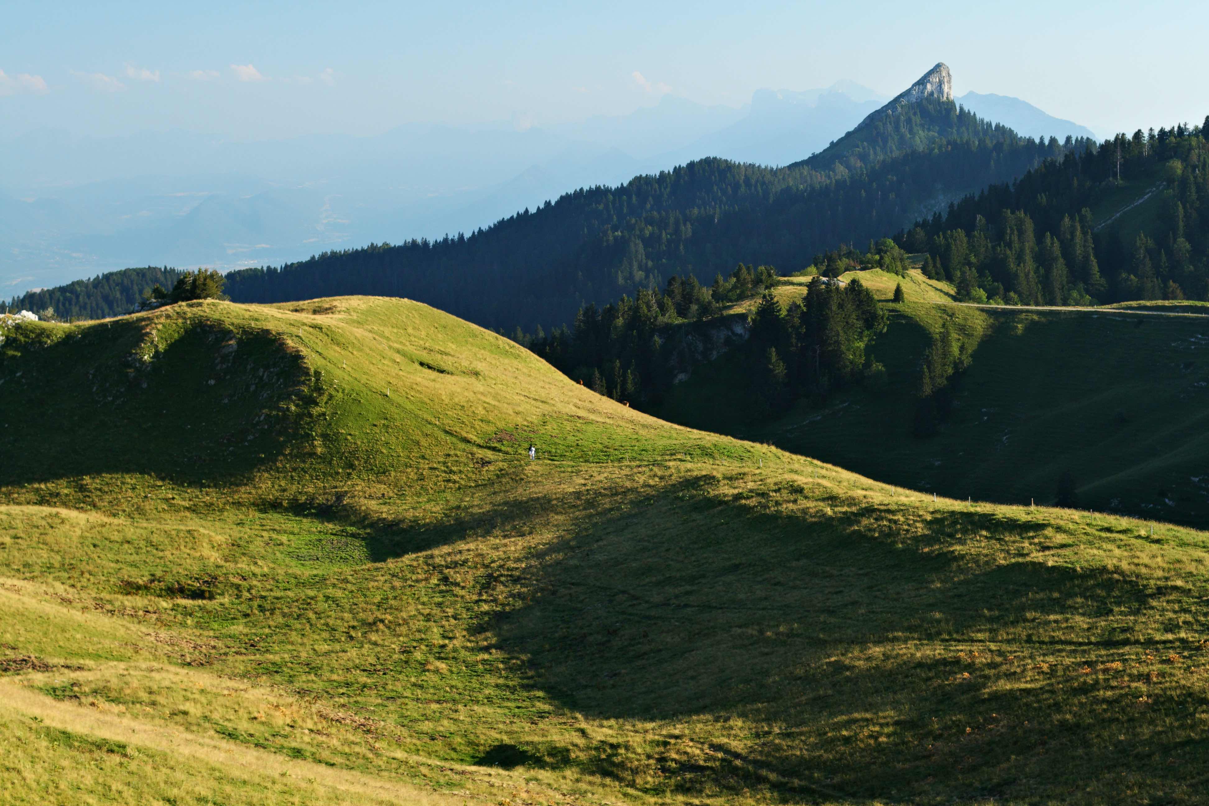
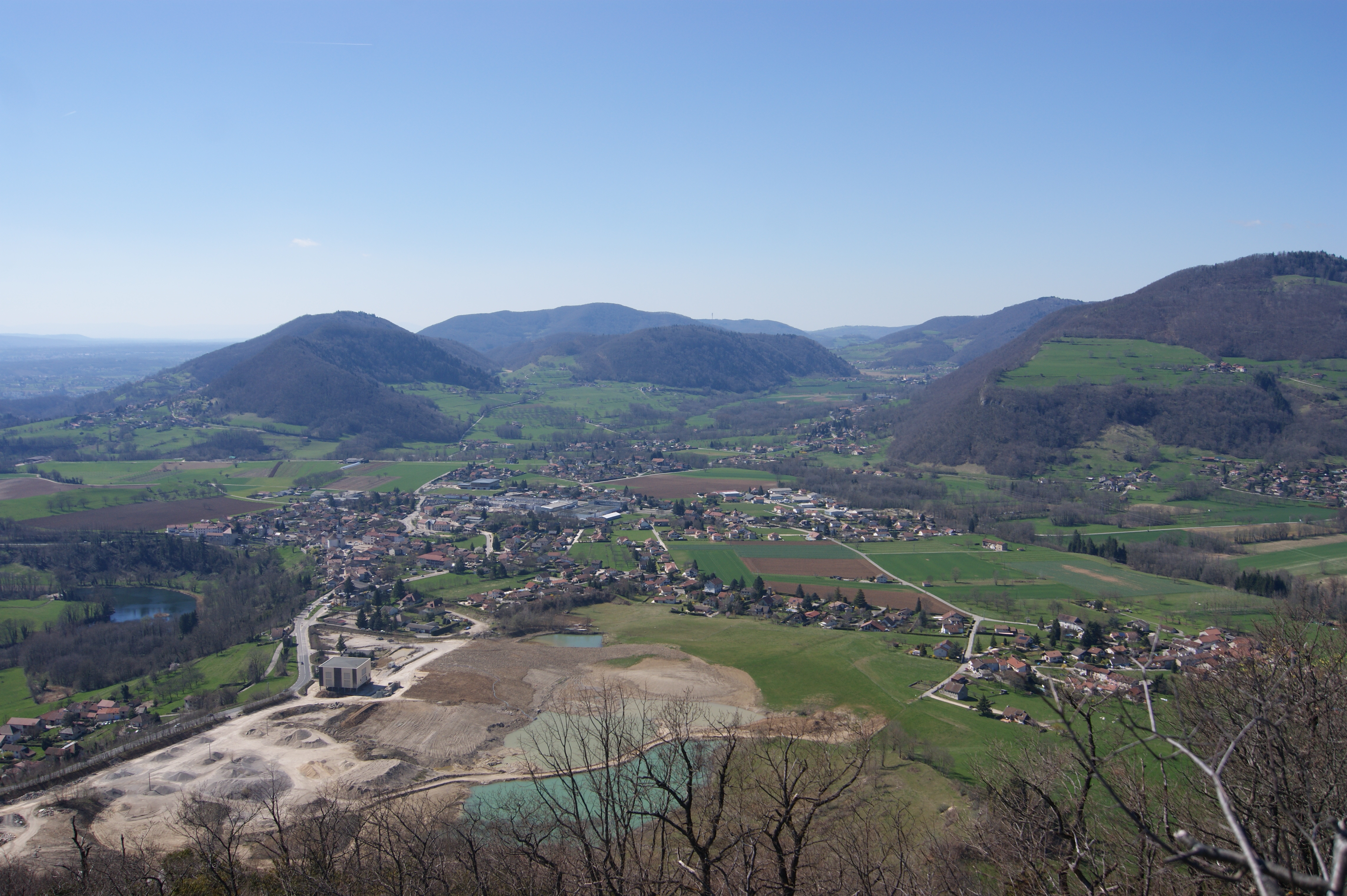
Here is a nice little family outing that will satisfy more than one. Located on the Saint-Étienne-de-Crossey side, this route climbs to the Rocher de la Garde, offering a superb view of the surroundings, then returns to the starting point by the same path.

Already more than 200,000 users!
Uphill
231m
Highest point
708m
Downhill
231m
Lowest point
478m
Route type
There and back
Download the map on your smartphone to save battery and rest assured to always keep access to the route, even without signal.
Includes IGN France and Swisstopo.
I indicate whether dogs are allowed or prohibited on this trail
All year
0 ratings
Also enjoy:

Already more than 200,000 users!