Uphill
160m
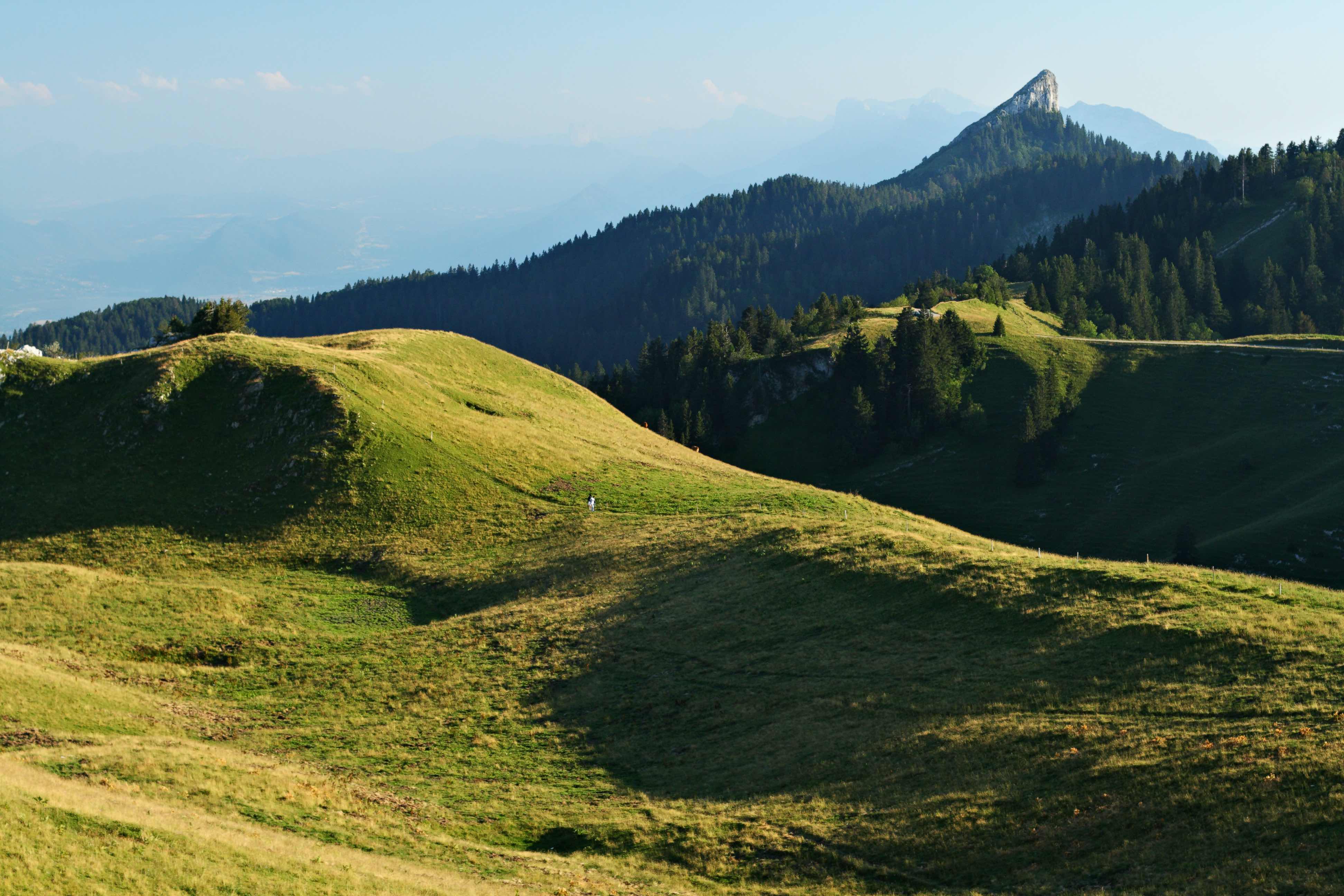
France > Auvergne-Rhône-Alpes > Isère > Chartreuse Regional Natural Park
Length
4km
Duration
1h30min
Elev gain
160m
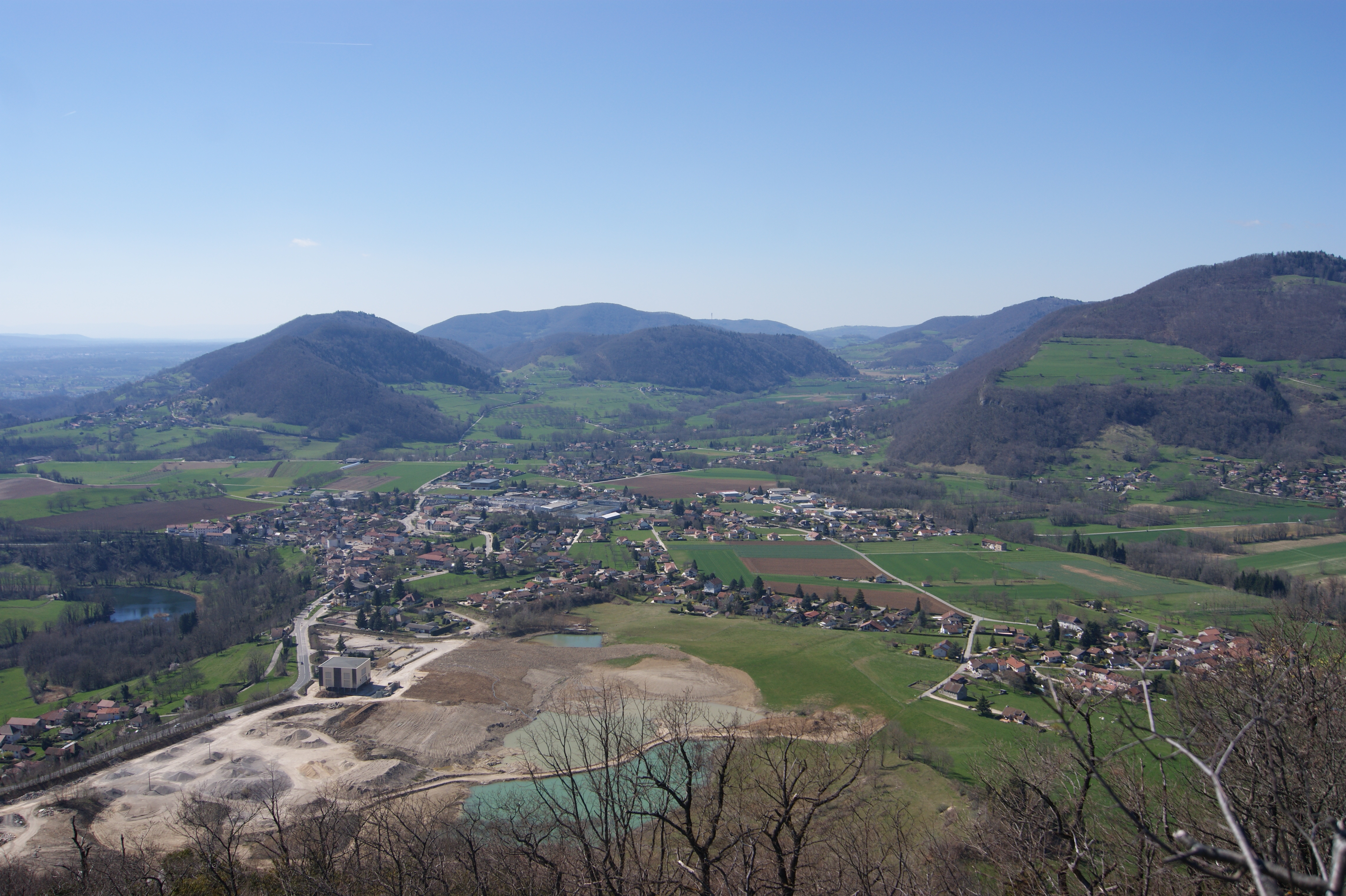
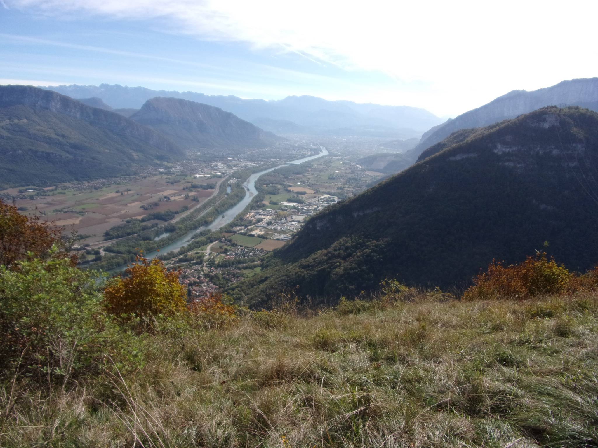
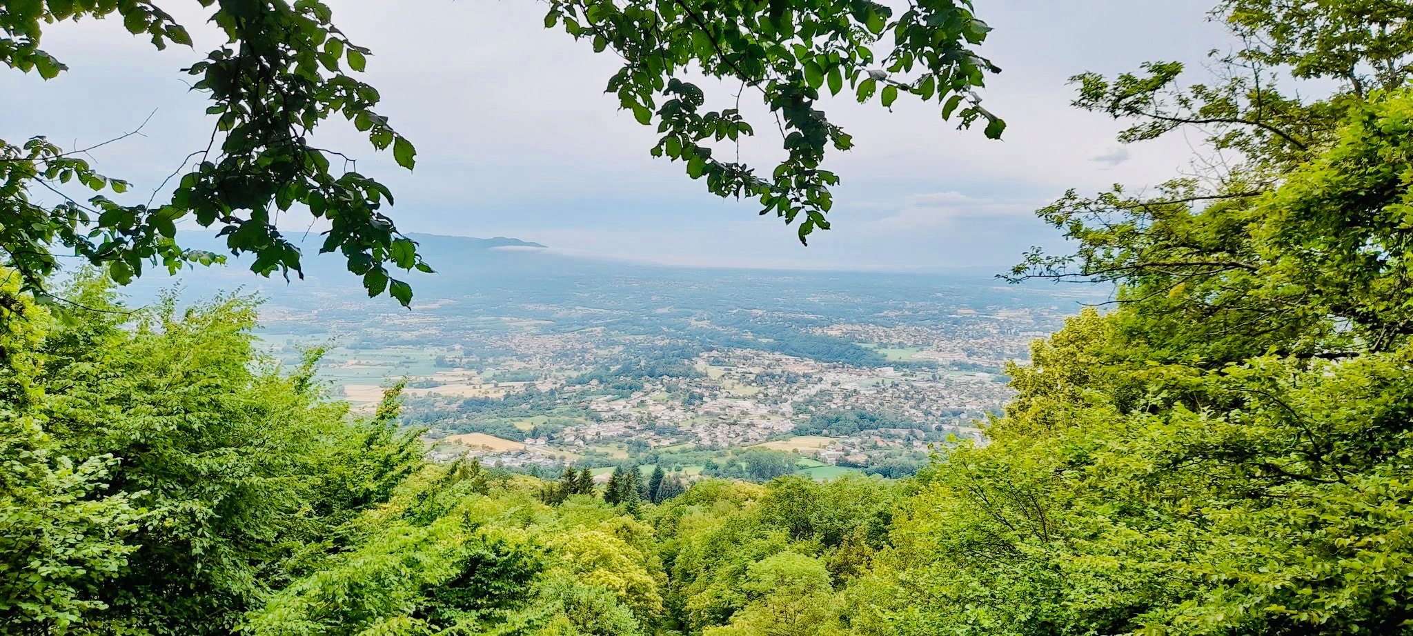
Here is a charming little walk near Saint-Julien-de-Ratz. The route makes a loop in the forest, in the Bois des Chartreux, and offers some pretty views of the valley.

Already more than 200,000 users!
Uphill
160m
Highest point
673m
Downhill
160m
Lowest point
526m
Route type
Loop
Download the map on your smartphone to save battery and rest assured to always keep access to the route, even without signal.
Includes IGN France and Swisstopo.
4 ratings
Also enjoy:

Already more than 200,000 users!