Uphill
181m
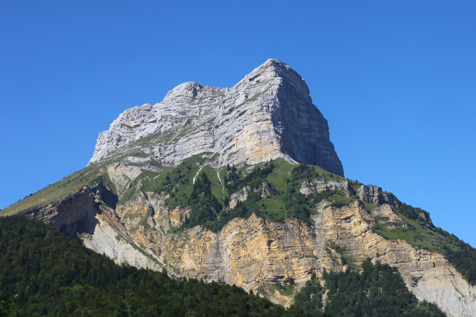
France > Auvergne-Rhône-Alpes > Isère > Chartreuse Regional Natural Park
Length
2km
Duration
1h
Elev gain
181m
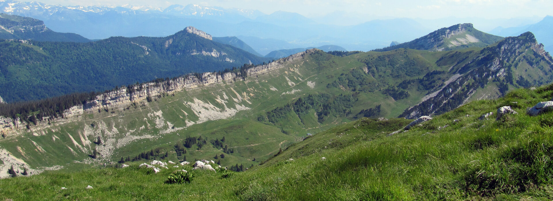
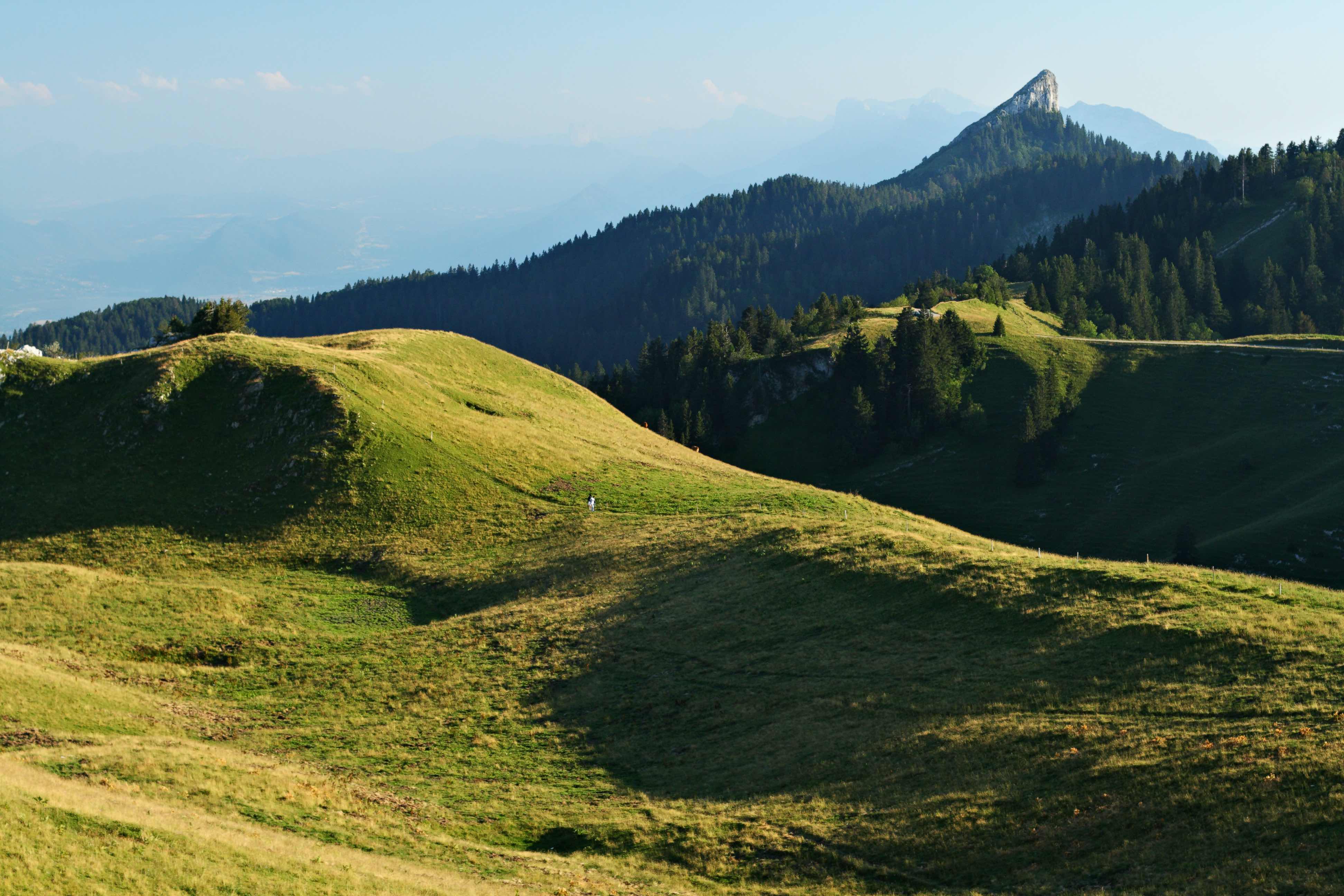
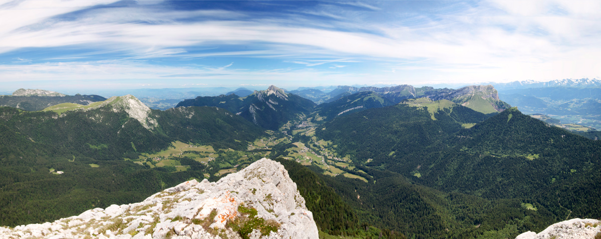
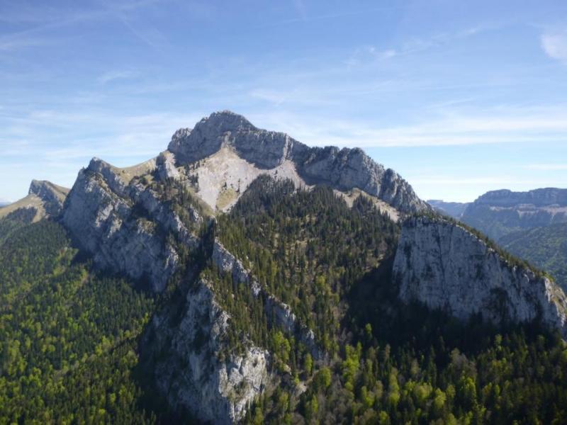
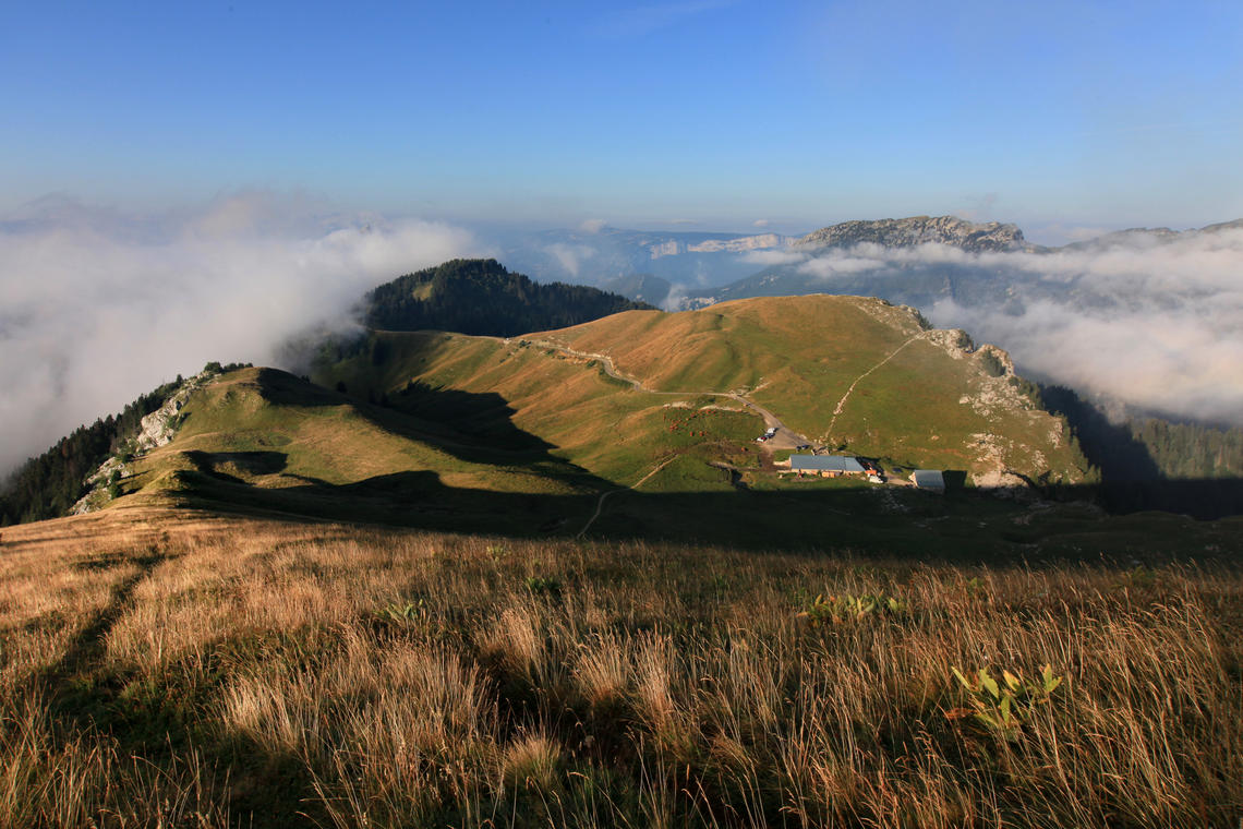
A short and easy walk to the hilly summit of Charmant Som. This one offers a 360° panorama of the surrounding peaks, the Grande Chartreuse, and Mont Blanc on a clear day.

Already more than 200,000 users!
Uphill
181m
Highest point
1853m
Downhill
181m
Lowest point
1668m
Route type
There and back
Download the map on your smartphone to save battery and rest assured to always keep access to the route, even without signal.
Includes IGN France and Swisstopo.
Fordidden at certain times of the year
From May to October
1 rating
Also enjoy:

Already more than 200,000 users!