Uphill
901m
France > Auvergne-Rhône-Alpes > Isère > Chartreuse Regional Natural Park
Length
15km
Duration
6h30min
Elev gain
901m
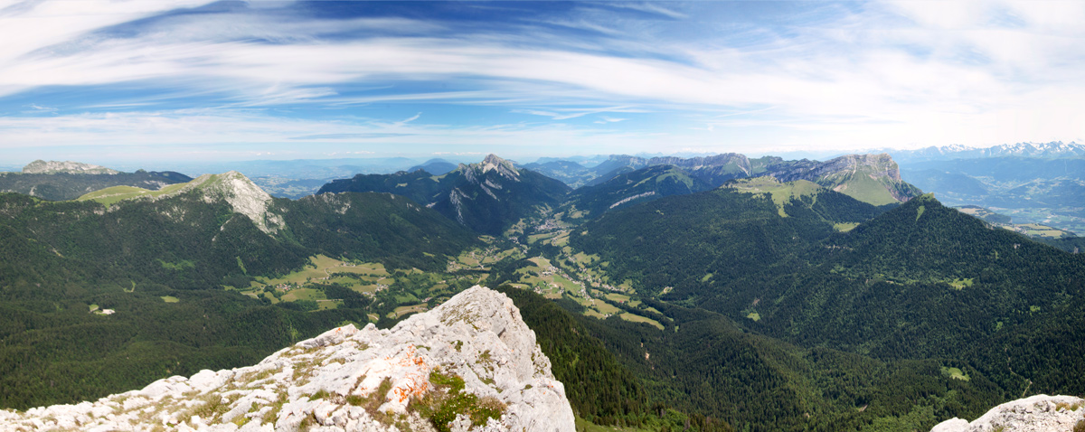
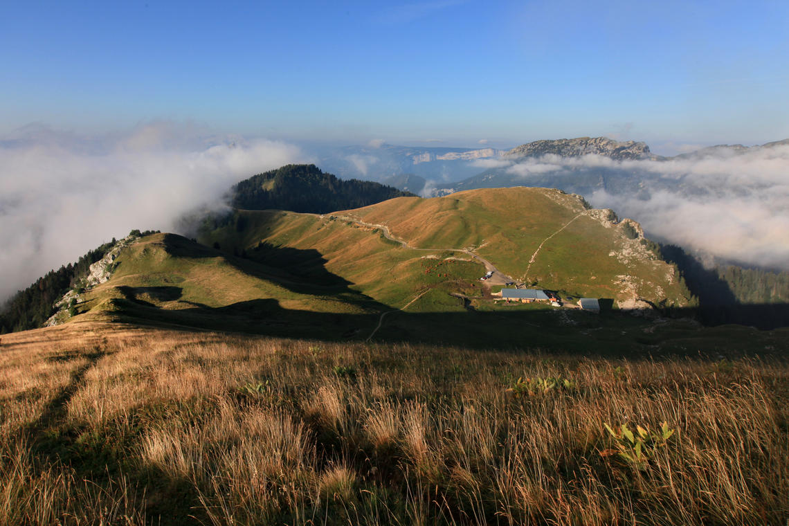
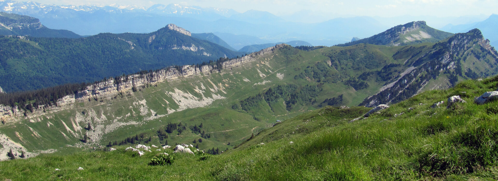
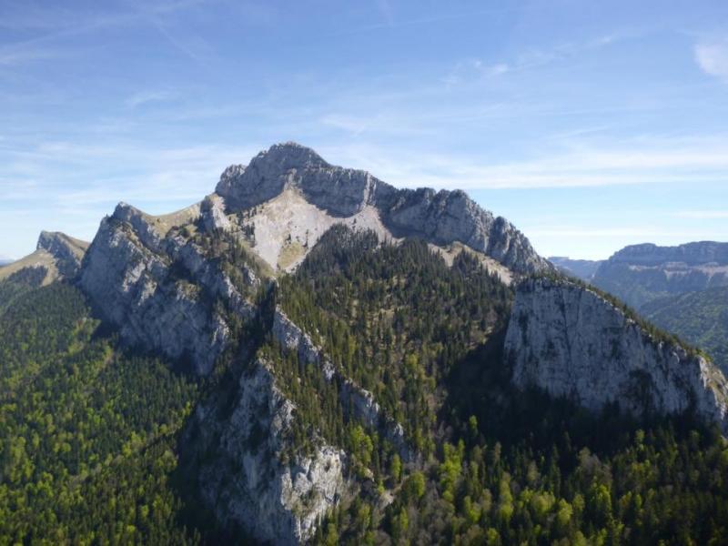
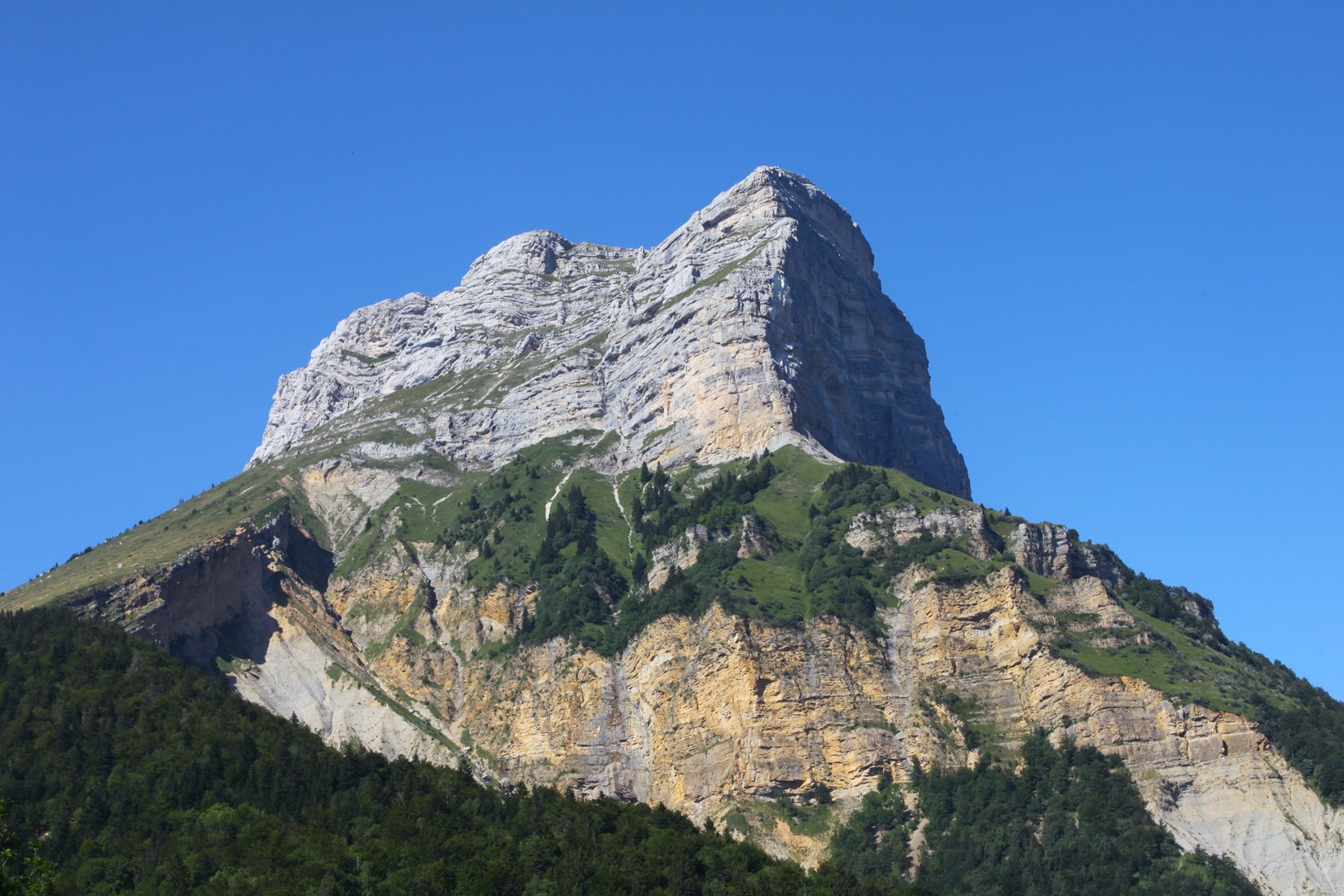
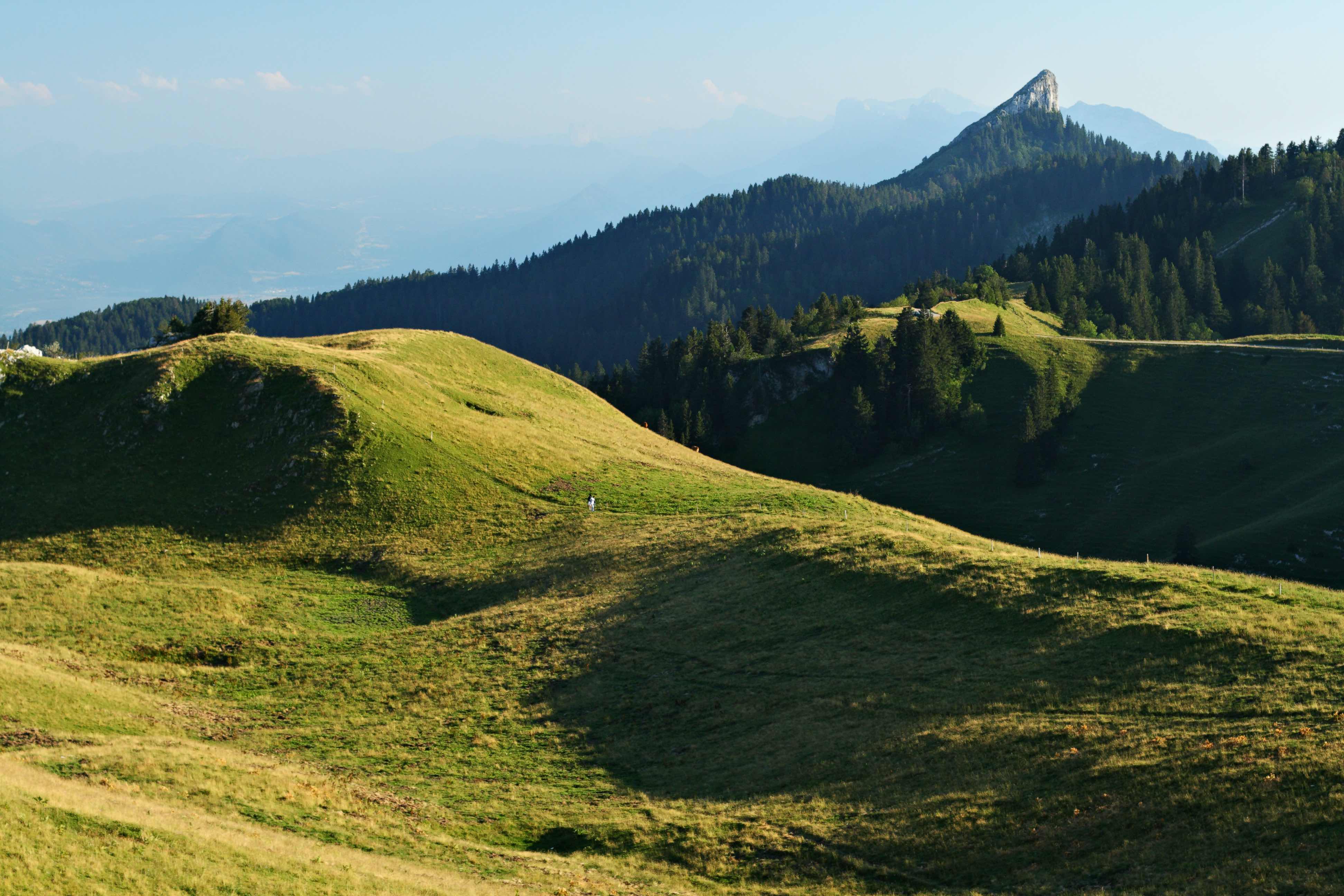
Varied route between forests, meadows and crests. We never tire of the atypical form of the Pinéa. Quite a long part on the road towards the end.

Already more than 200,000 users!
Uphill
901m
Highest point
1853m
Downhill
901m
Lowest point
1302m
Route type
Loop
Download the map on your smartphone to save battery and rest assured to always keep access to the route, even without signal.
Includes IGN France and Swisstopo.
Fordidden at certain times of the year
From May to October
4 ratings
Also enjoy:

Already more than 200,000 users!