Uphill
657m
France > Auvergne-Rhône-Alpes > Isère > Chartreuse Regional Natural Park
Length
7km
Duration
4h30min
Elev gain
657m
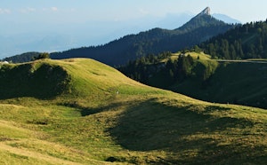
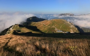
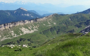
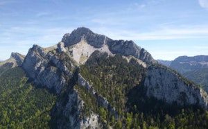
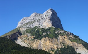
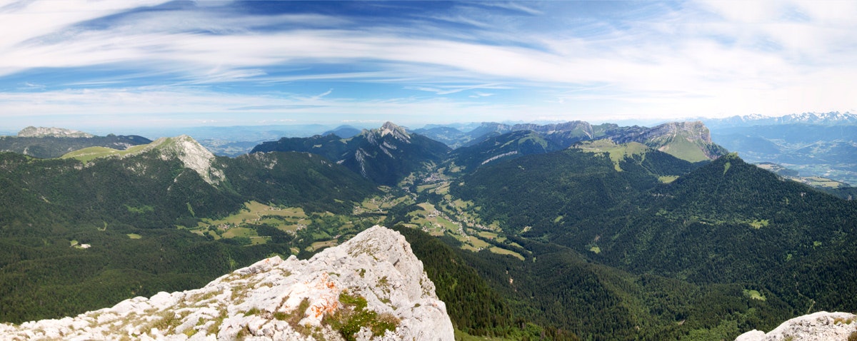
From the Col de Porte, this challenging route allows you to reach the highest peak of the Chartreuse: Chamechaude (2082 m). Nice panorama on the massif, the Vercors, and Mont Blanc on a clear day.
Note that dogs are prohibited on this trail from June to October.

Already more than 200,000 users!
Uphill
657m
Highest point
1986m
Downhill
657m
Lowest point
1318m
Route type
There and back
Download the map on your smartphone to save battery and rest assured to always keep access to the route, even without signal.
Includes IGN France and Swisstopo.
Fordidden at certain times of the year
From May to October
4 ratings
Also enjoy:

Already more than 200,000 users!