Uphill
1110m
France > Auvergne-Rhône-Alpes > Isère > Chartreuse Regional Natural Park
Length
14km
Duration
7h30min
Elev gain
1110m
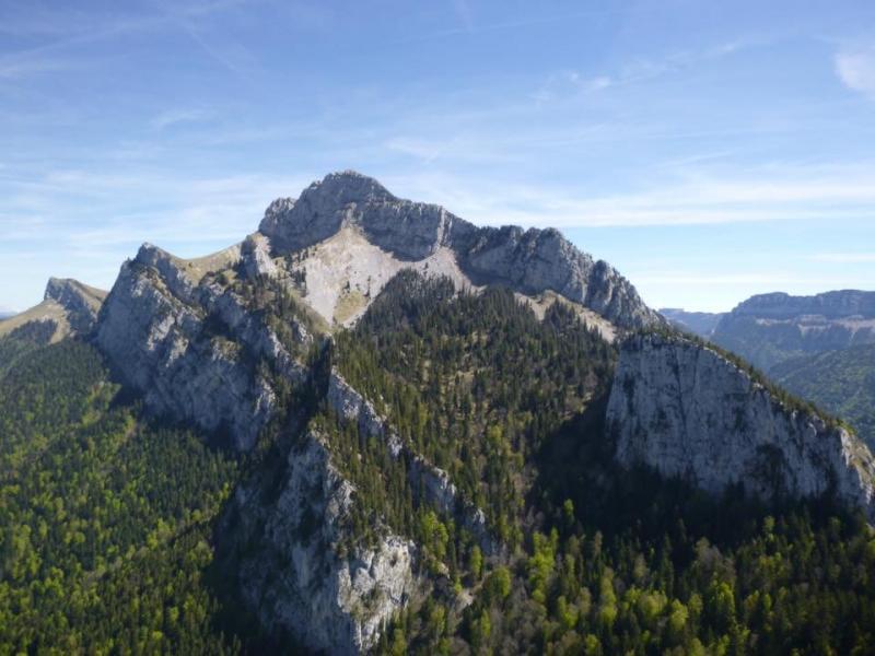
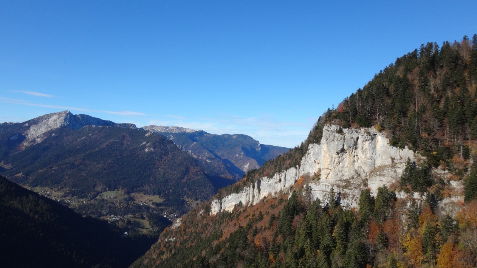
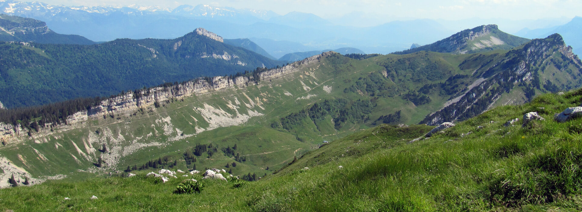
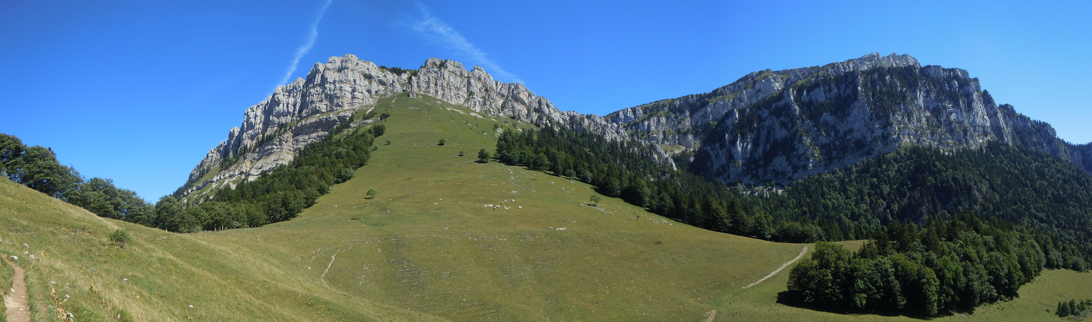
This hike lets you discover the Grand Som massif, offering a superb view of the Chartreuse.
Another more frequented route exists, starting from the monastery.

Already more than 200,000 users!
Uphill
1110m
Highest point
2002m
Downhill
1110m
Lowest point
1127m
Route type
Loop
Download the map on your smartphone to save battery and rest assured to always keep access to the route, even without signal.
Includes IGN France and Swisstopo.
I indicate whether dogs are allowed or prohibited on this trail
From May to September
0 ratings
Also enjoy:

Already more than 200,000 users!