Uphill
247m
France > Auvergne-Rhône-Alpes > Isère > Chartreuse Regional Natural Park
Length
3km
Duration
1h30min
Elev gain
247m
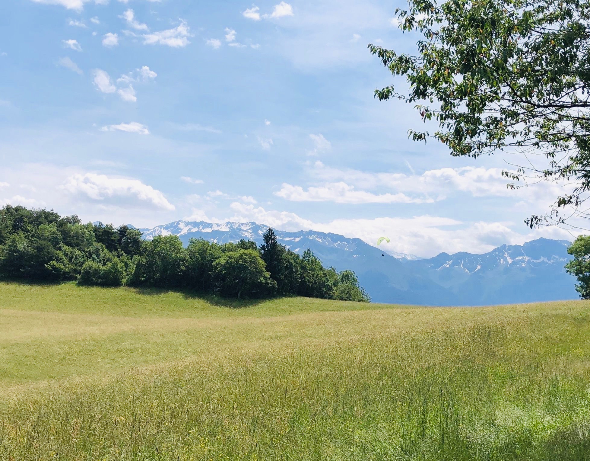
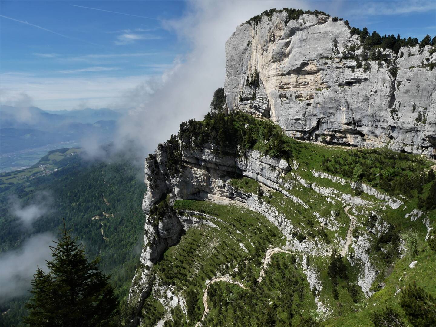
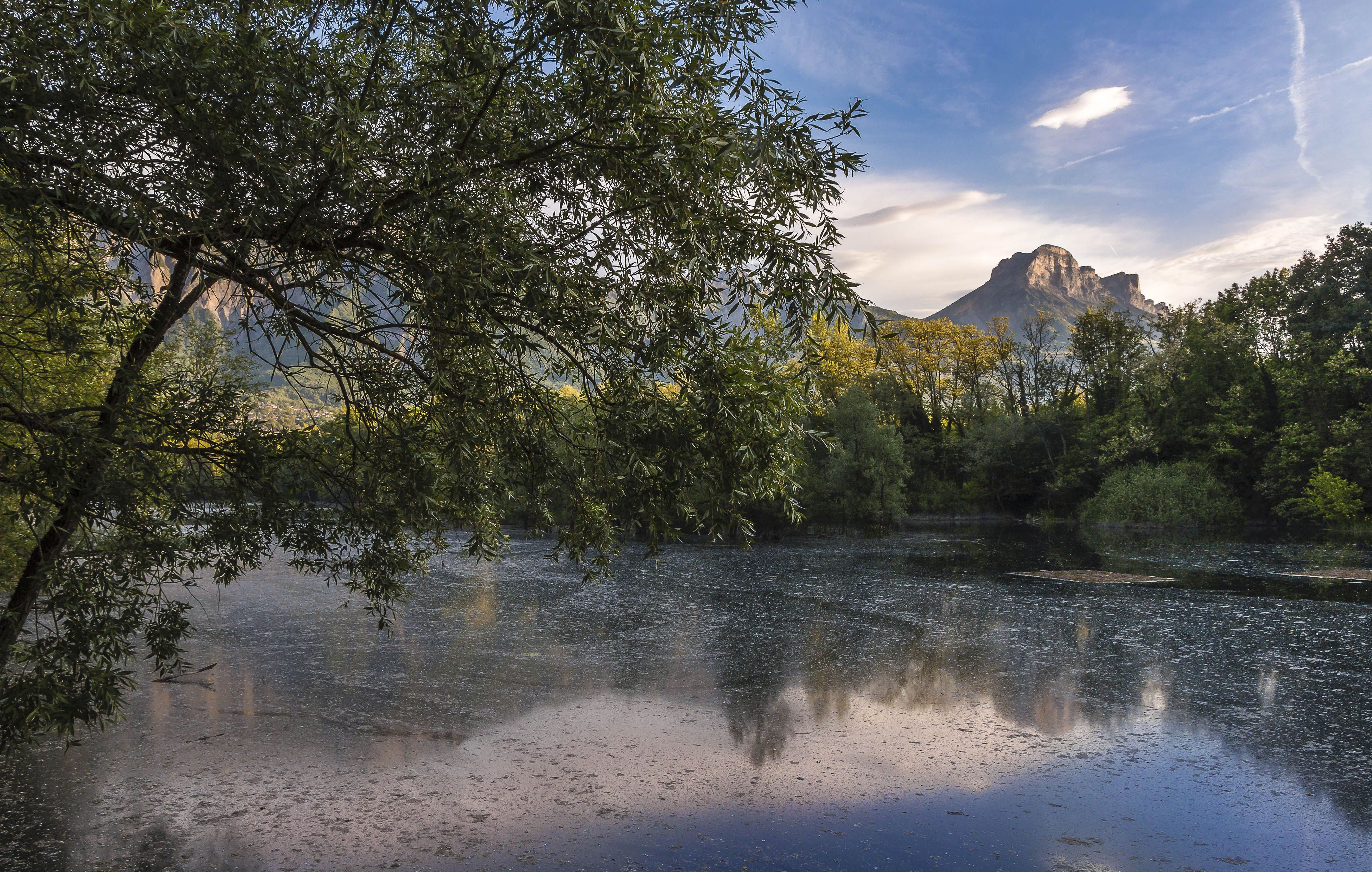
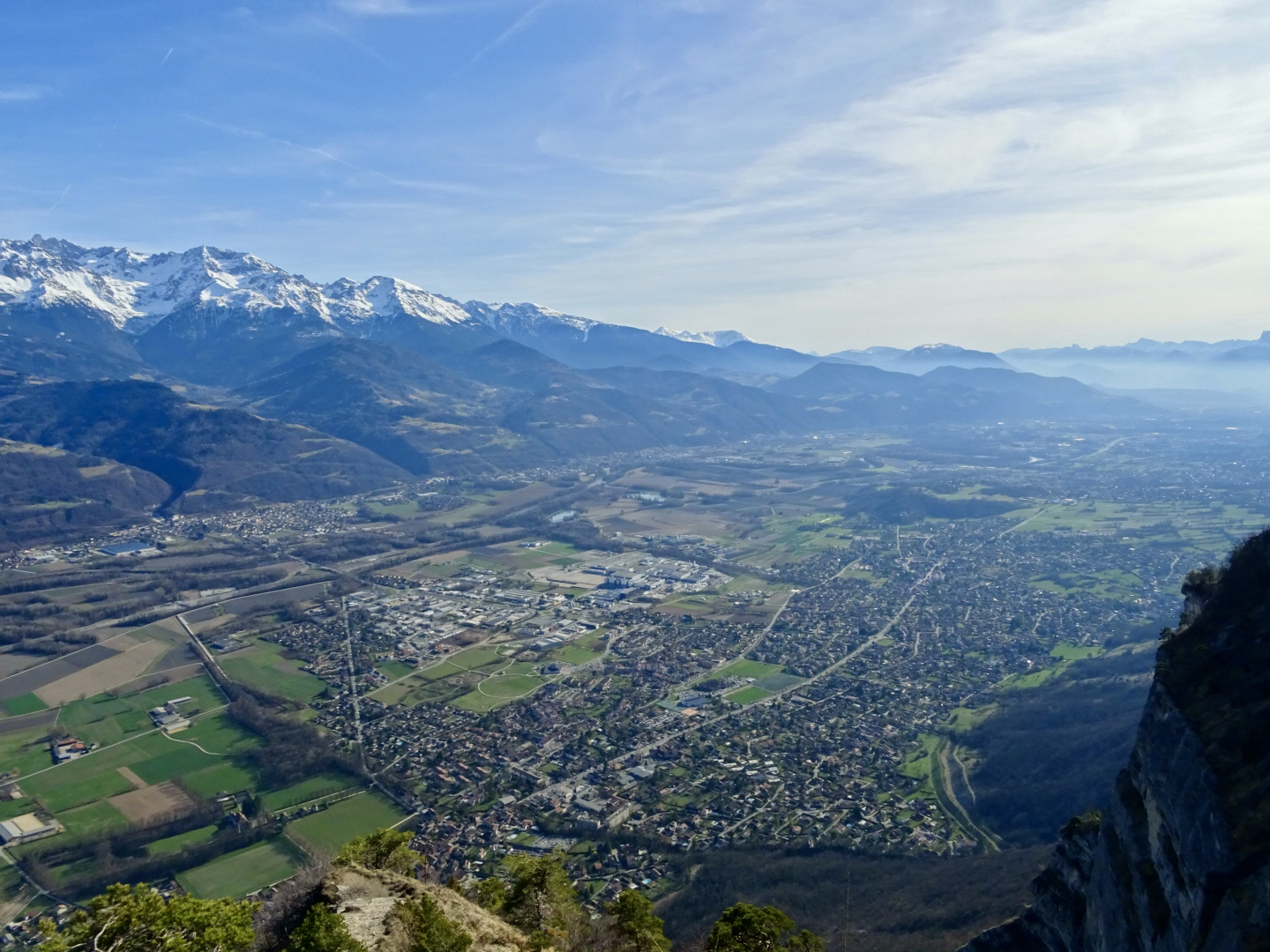
Nice walk on the heights of Saint-Hilaire-du-Touvet, a charming village in the Chartreuse. The route leads to the Oule waterfall then returns via the Bec Margain adjustable table, from where the view of the Belledonne range, the Grésivaudan valley and even Mont-Blanc is spectacular. It is then necessary to resume the path in order to return to the starting point.

Already more than 200,000 users!
Uphill
247m
Highest point
1057m
Downhill
247m
Lowest point
887m
Route type
Loop
Download the map on your smartphone to save battery and rest assured to always keep access to the route, even without signal.
Includes IGN France and Swisstopo.
I indicate whether dogs are allowed or prohibited on this trail
Can be difficult in Winter
0 ratings
Also enjoy:

Already more than 200,000 users!