Uphill
155m
Length
6km
Duration
2h
Elev gain
155m
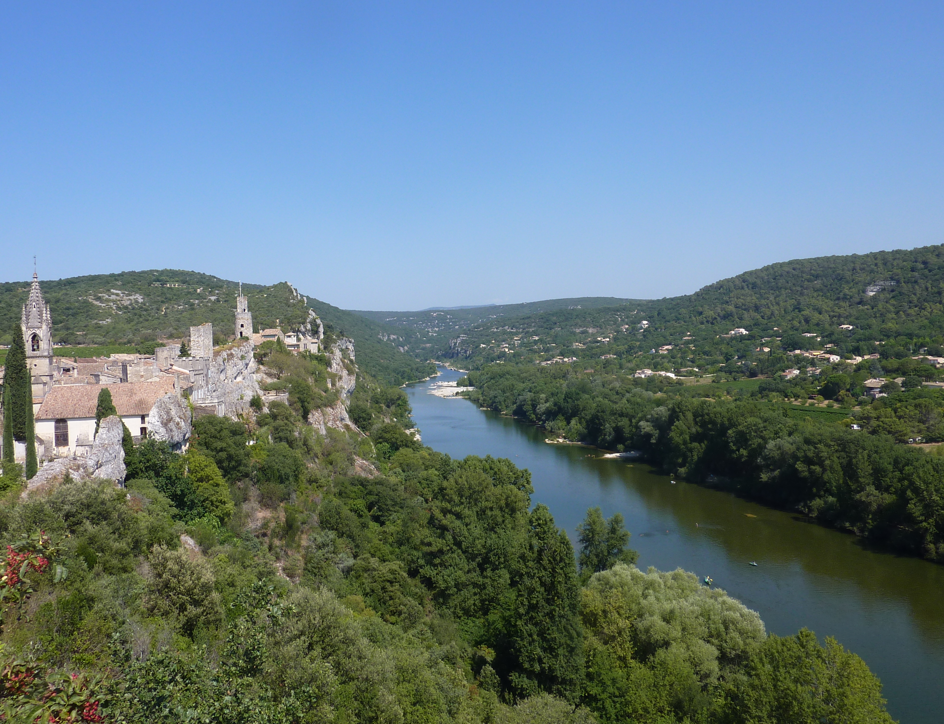
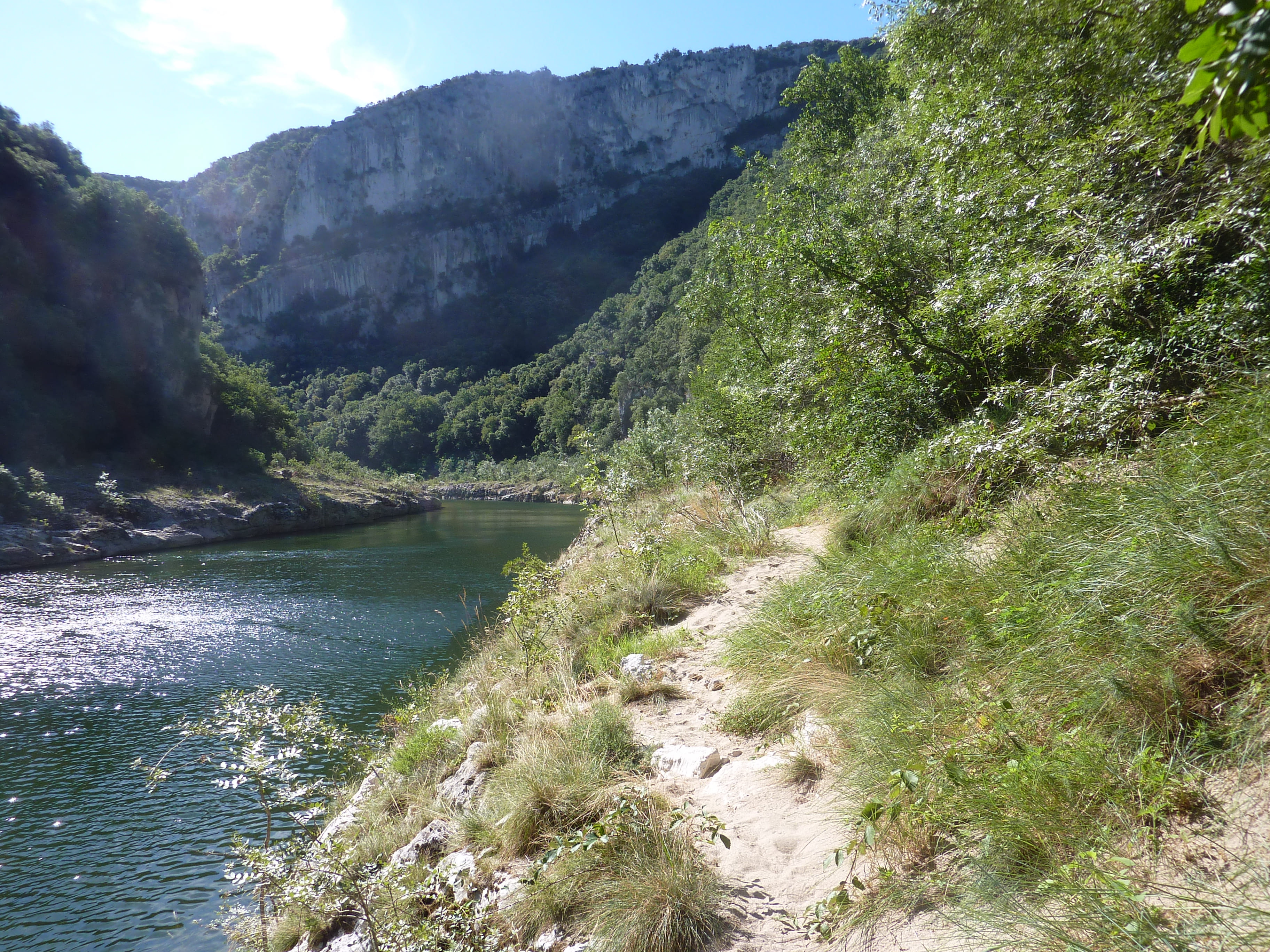
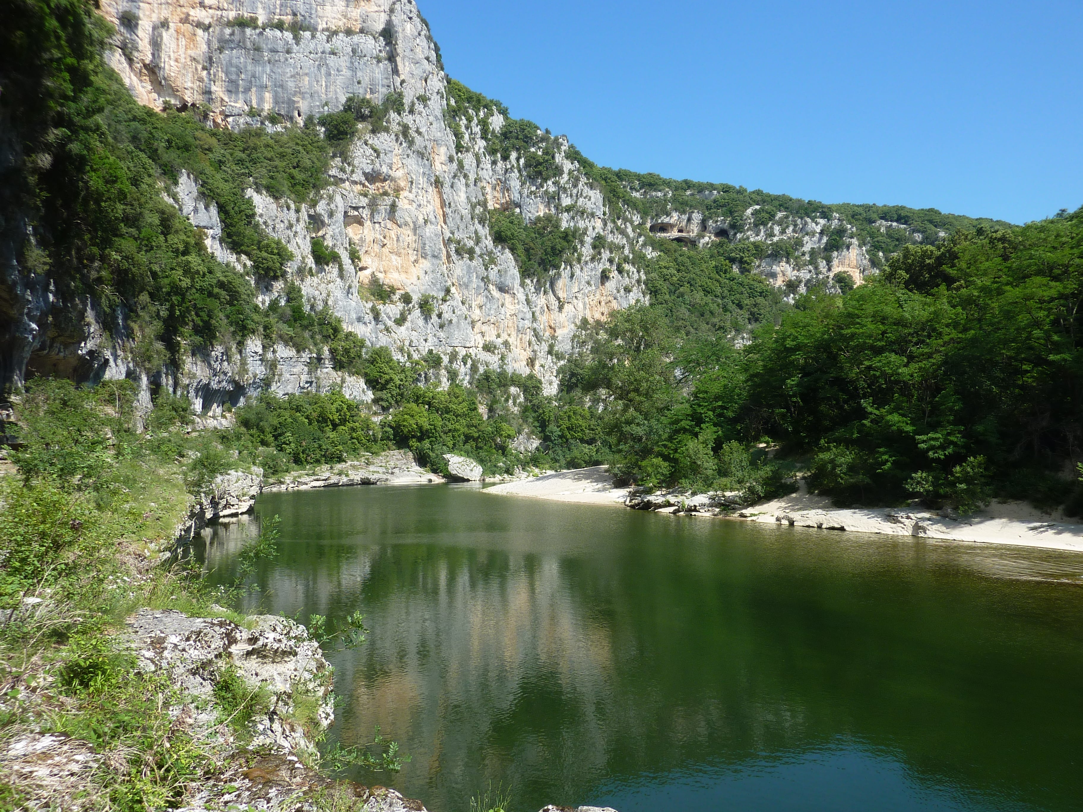
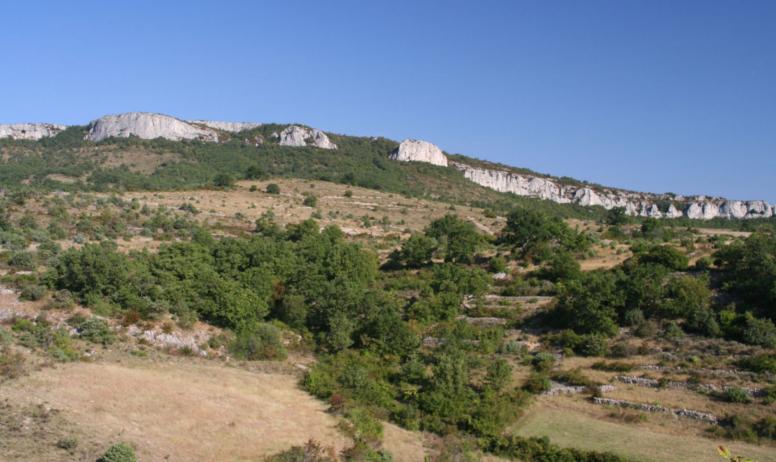
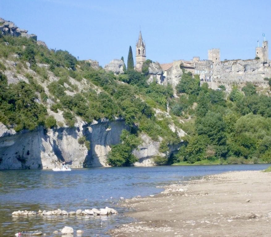
Departing from Saint-Martin-d'Ardèche, this route begins by gaining a little height in order to offer lovely views of the Ardèche. The path crosses Sauze then returns to the starting point along the river and its beaches.
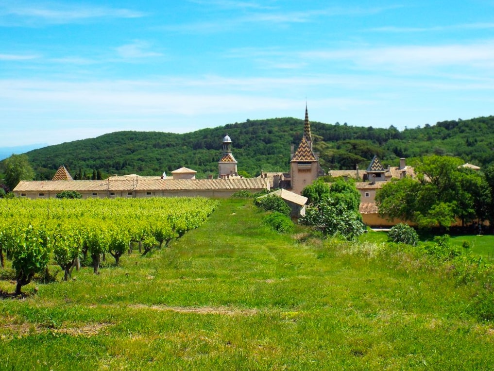
Note that this route takes several roads and crosses inhabited areas.

Already more than 200,000 users!
Uphill
155m
Highest point
205m
Downhill
155m
Lowest point
42m
Route type
Loop
Download the map on your smartphone to save battery and rest assured to always keep access to the route, even without signal.
Includes IGN France and Swisstopo.
I indicate whether dogs are allowed or prohibited on this trail
All year
1 rating
Lovely through the town, then up and up but no view. Otherwise nice walk
Also enjoy:

Already more than 200,000 users!