Uphill
204m
Length
8km
Duration
2h30min
Elev gain
204m
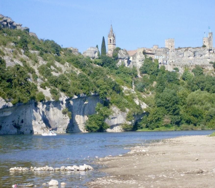
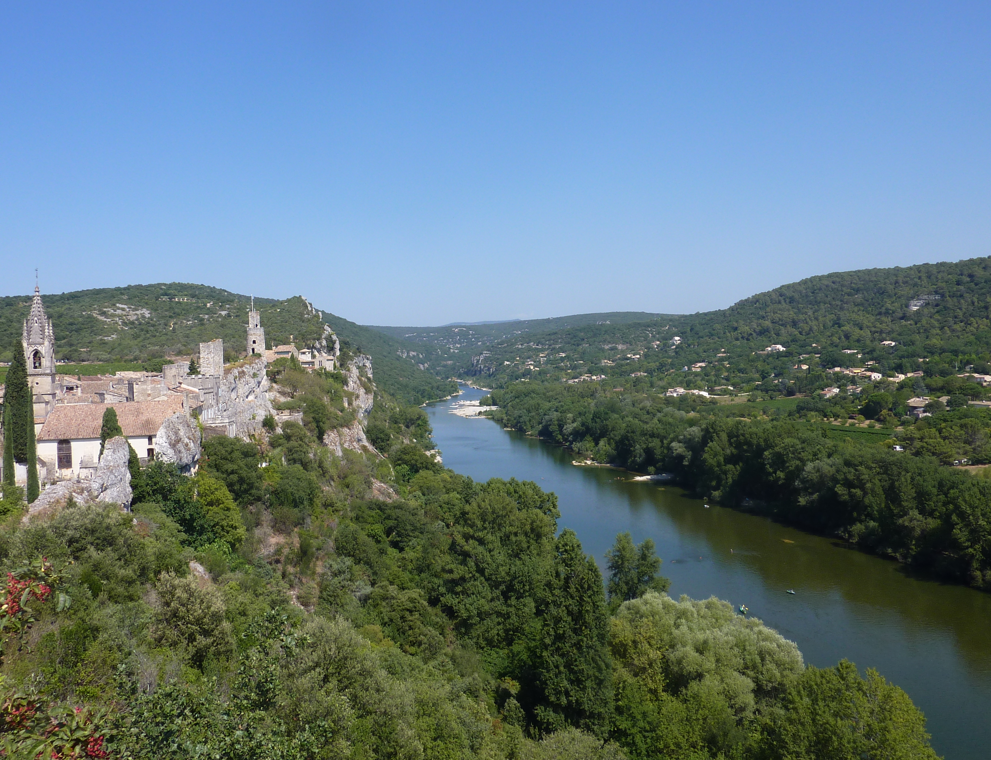
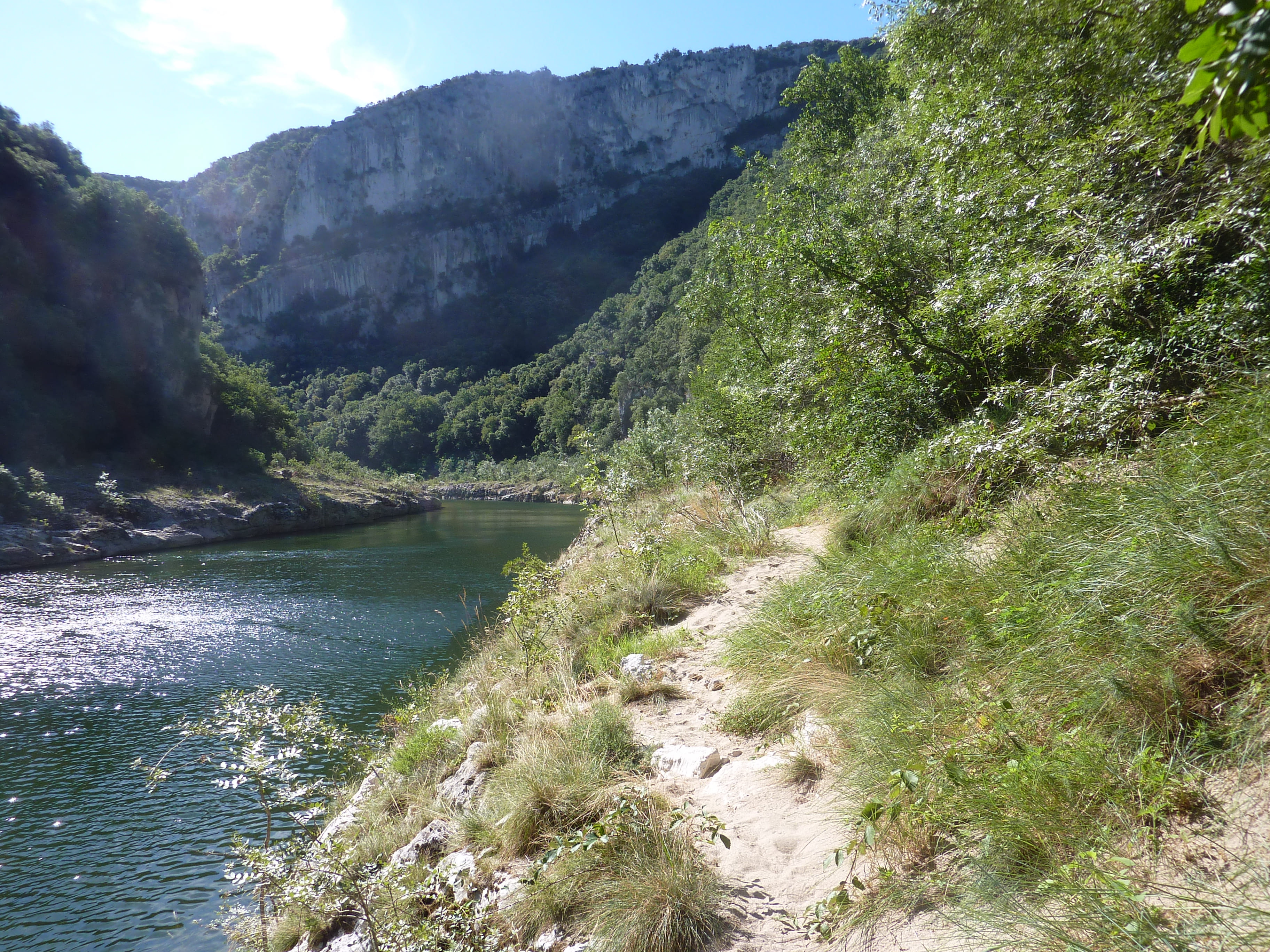
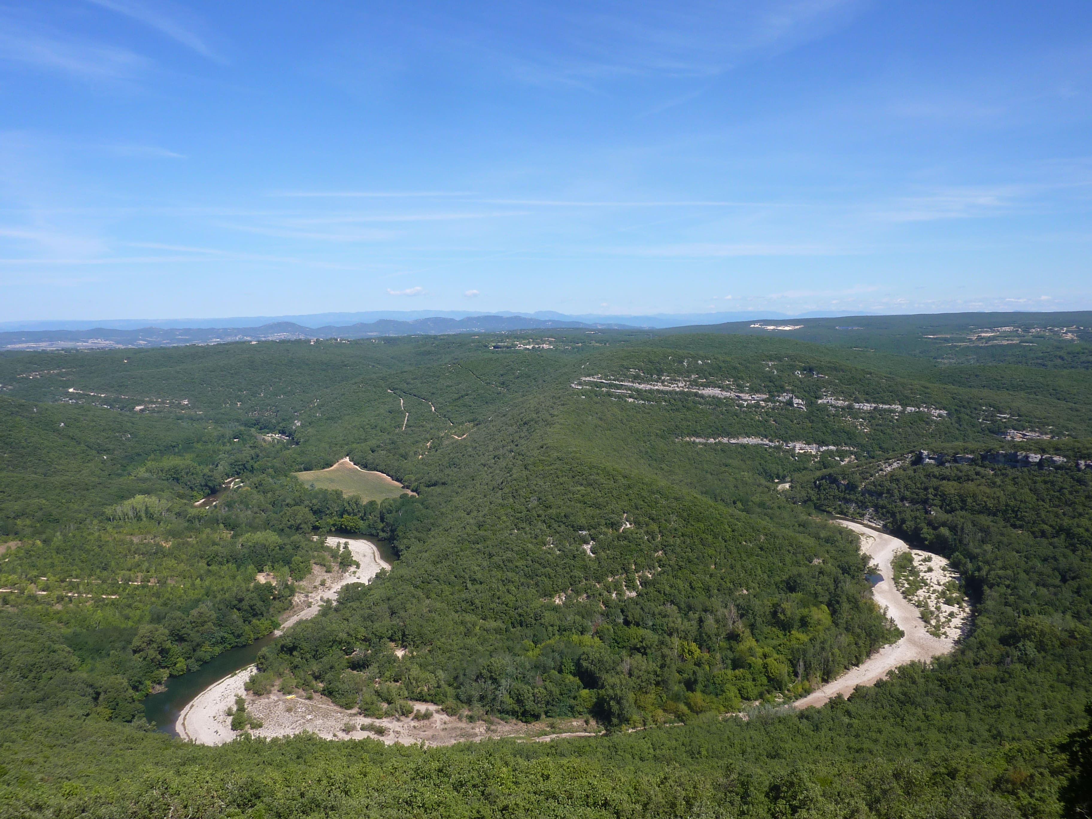
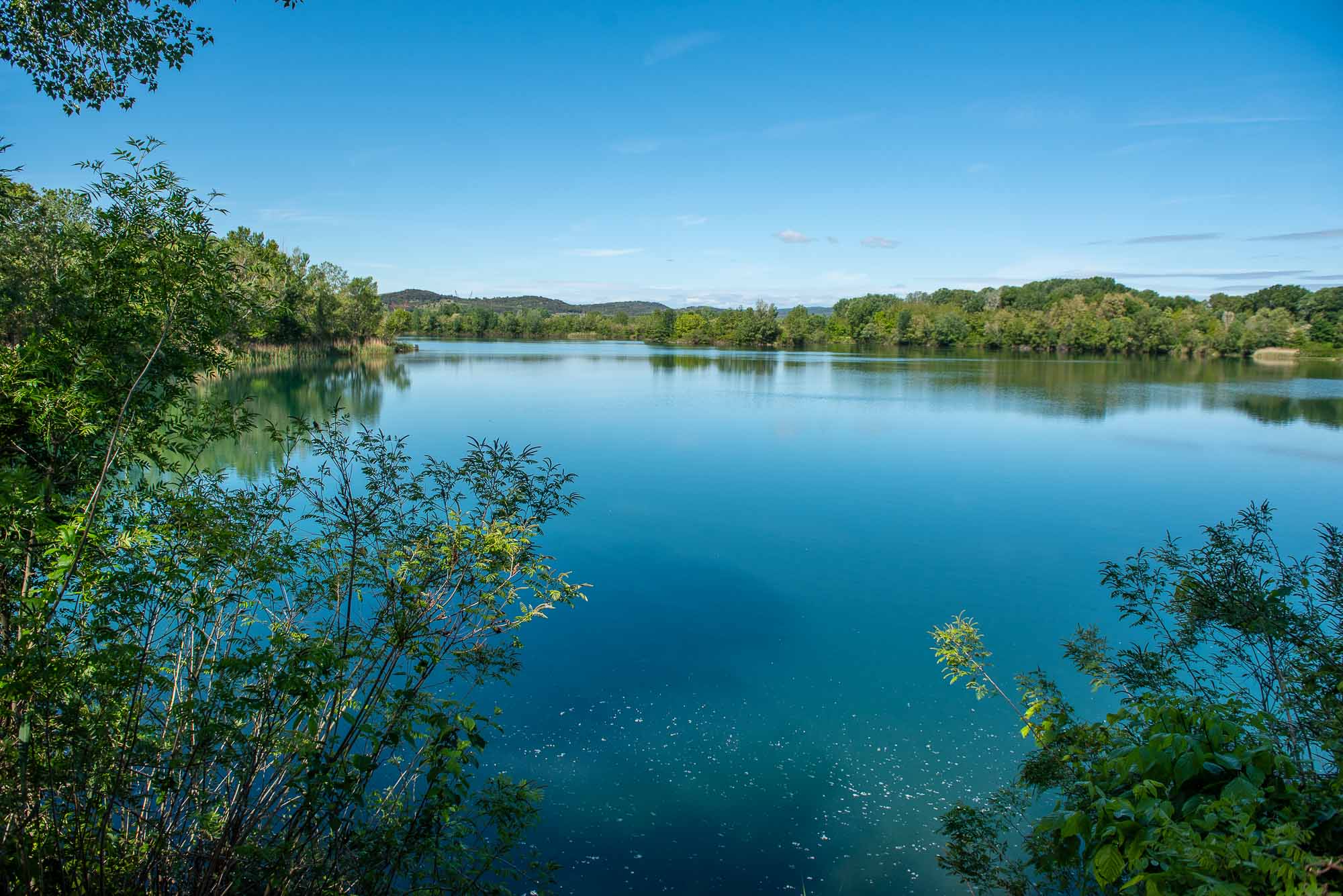
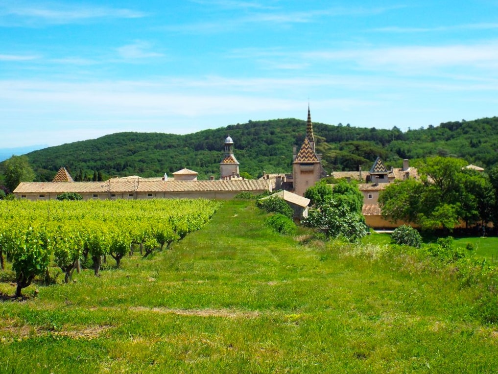
It is next to the Charterhouse of Valbonne, in Saint-Paulet-de-Caisson, that this hike begins. The course takes place in a very pleasant setting and does not present any particular difficulty, between fields, vineyards and forest.

Already more than 200,000 users!
Uphill
204m
Highest point
282m
Downhill
203m
Lowest point
102m
Route type
Loop
Download the map on your smartphone to save battery and rest assured to always keep access to the route, even without signal.
Includes IGN France and Swisstopo.
I indicate whether dogs are allowed or prohibited on this trail
All year
0 ratings
Also enjoy:

Already more than 200,000 users!