Uphill
14m

Length
5km
Duration
1h
Elev gain
14m
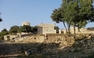
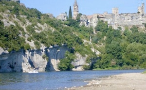
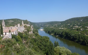
Walk in the heart of a natural site located in a bend of the Rhône in the town of Mondragon. This popular place for birds has explanatory panels on the flora and fauna.

Already more than 200,000 users!
Uphill
14m
Highest point
48m
Downhill
14m
Lowest point
31m
Route type
Loop
Download the map on your smartphone to save battery and rest assured to always keep access to the route, even without signal.
Includes IGN France and Swisstopo.
I indicate whether dogs are allowed or prohibited on this trail
All year
1 rating
Aucun fléchage… le chemin passe par une propriété privée Le monsieur nous demande de rebrousser chemin et nous indique un passage qui n’existe plus … Pour remédier à cela peut-être faut-il faire la boucle à l’envers …
En tout cas pour un site comme celui-là il faudrait faire un effort de signalisation et quelques points d’observation aménagés …
Also enjoy:

Already more than 200,000 users!