Uphill
112m
Length
4km
Duration
1h
Elev gain
112m
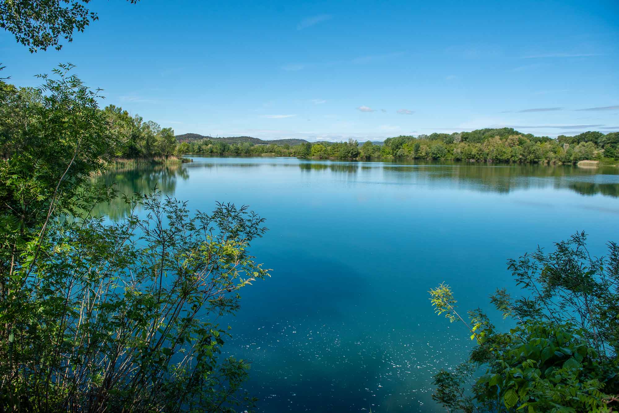
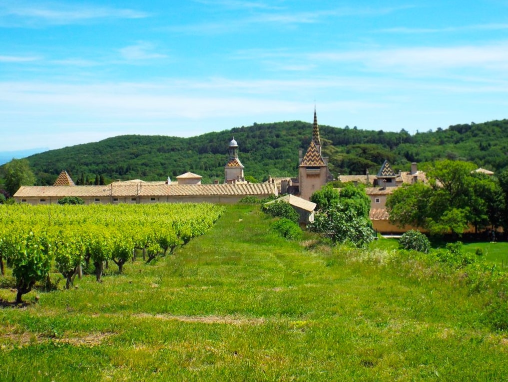
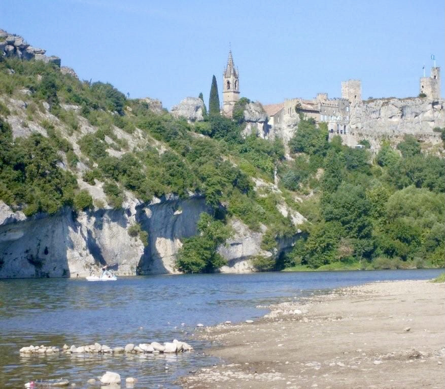
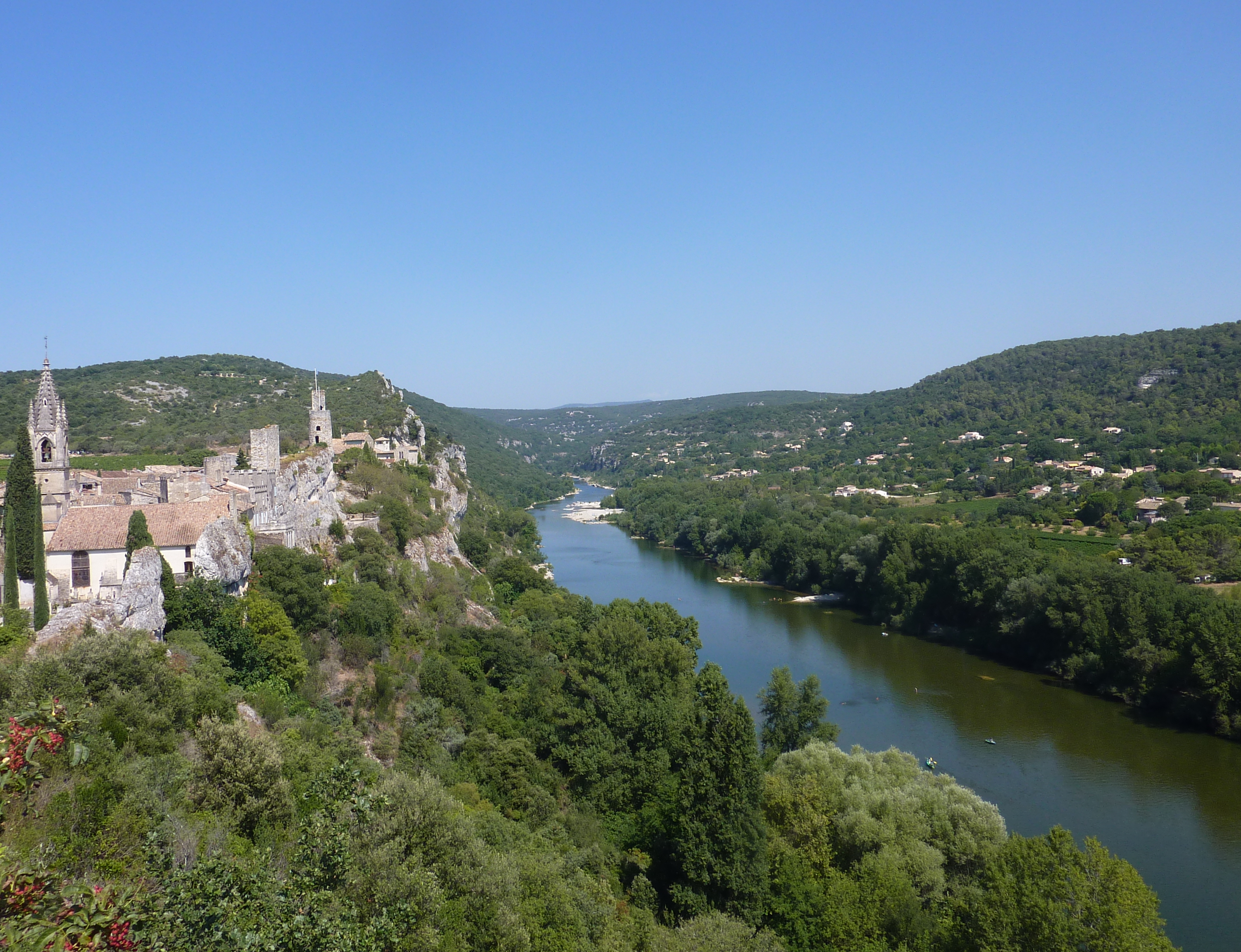
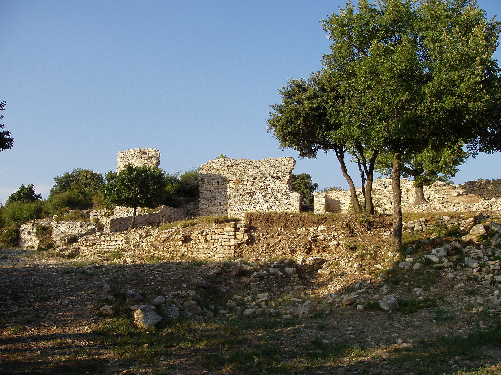
Departing from Laudun-l'Ardoise, here is a walk in the forest to the Saint-Jean de Rouzigue chapel. The trail then runs along cliffs offering a beautiful view of the Rhône valley before reaching the oppidum of César camp.

Already more than 200,000 users!
Uphill
112m
Highest point
264m
Downhill
112m
Lowest point
155m
Route type
Loop
Download the map on your smartphone to save battery and rest assured to always keep access to the route, even without signal.
Includes IGN France and Swisstopo.
I indicate whether dogs are allowed or prohibited on this trail
All year
0 ratings
Also enjoy:

Already more than 200,000 users!