Uphill
271m
Length
7km
Duration
2h30min
Elev gain
271m
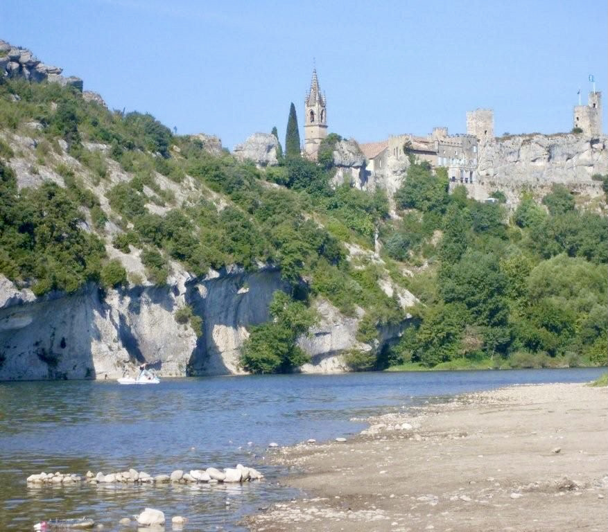
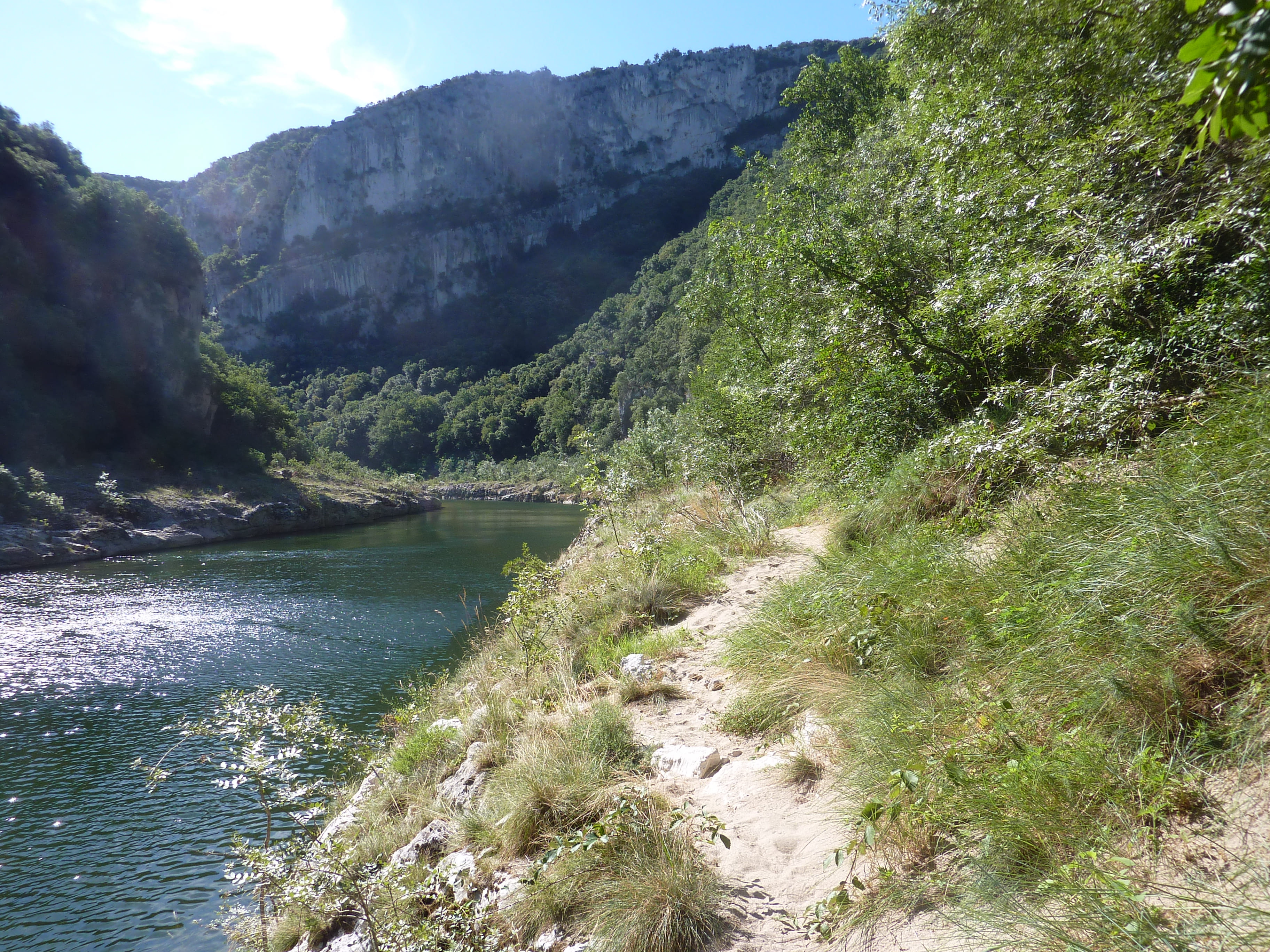
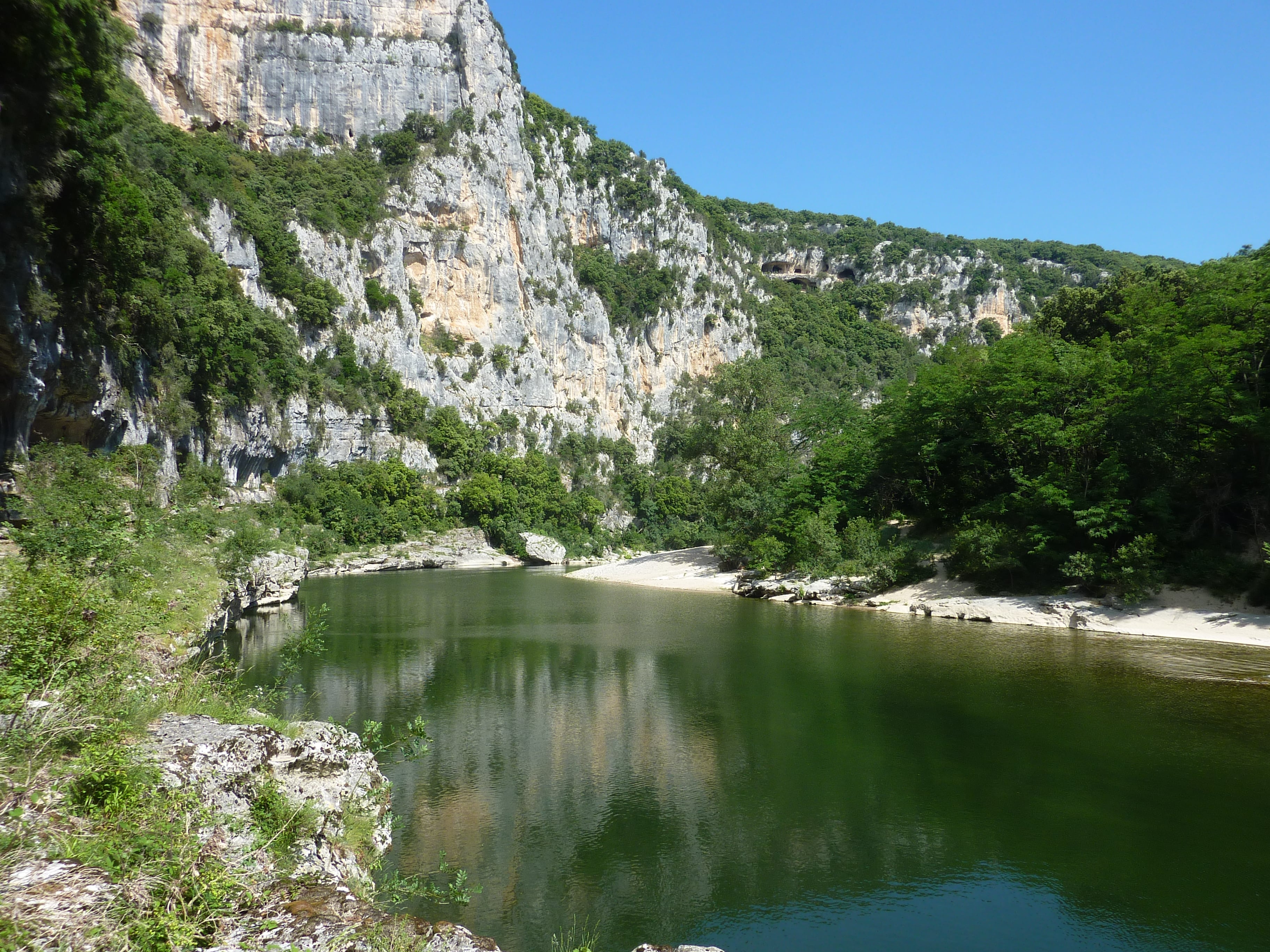
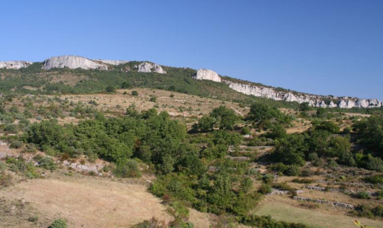
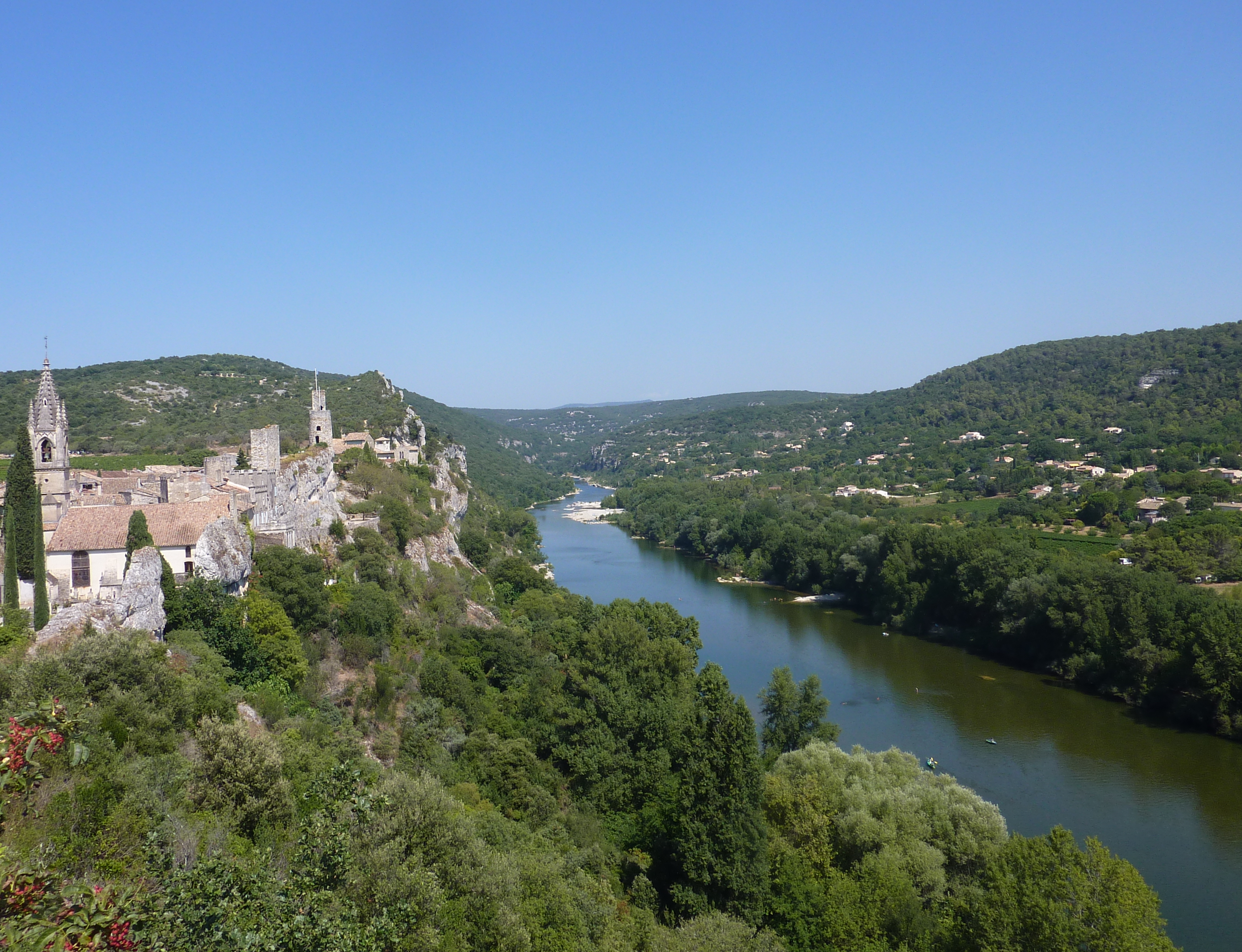
Here is a popular hike in the region, starting from Aiguèze, considered one of the most beautiful villages in France. The path goes up to the Rochers de Castelviel, where the view of the Ardèche gorges is magnificent. The descent to the starting point is rocky.

Already more than 200,000 users!
Uphill
271m
Highest point
283m
Downhill
271m
Lowest point
94m
Route type
Loop
Download the map on your smartphone to save battery and rest assured to always keep access to the route, even without signal.
Includes IGN France and Swisstopo.
I indicate whether dogs are allowed or prohibited on this trail
All year
0 ratings
Also enjoy:

Already more than 200,000 users!