Uphill
62m
Length
2km
Duration
30min
Elev gain
62m
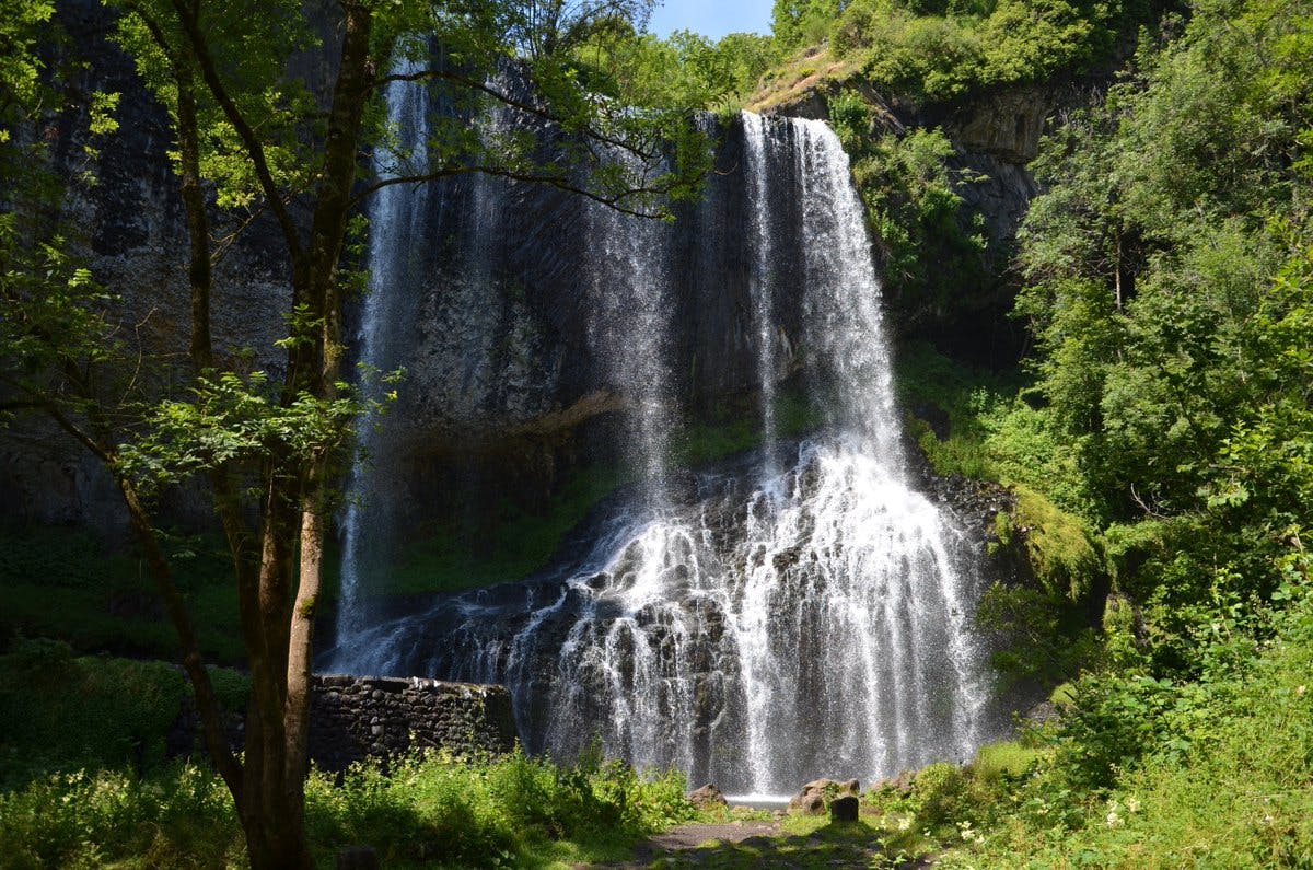
In the heart of the Agizoux forest, short round trip to the beautiful Beaume waterfall, 27 meters high and located a few kilometers before the stream flows into the Loire.
Please note: the path can be slippery.

Already more than 200,000 users!
Uphill
62m
Highest point
870m
Downhill
62m
Lowest point
800m
Route type
There and back
Download the map on your smartphone to save battery and rest assured to always keep access to the route, even without signal.
Includes IGN France and Swisstopo.
I indicate whether dogs are allowed or prohibited on this trail
All year
2 ratings
Also enjoy:

Already more than 200,000 users!


