Uphill
124m
Length
6km
Duration
1h30min
Elev gain
124m
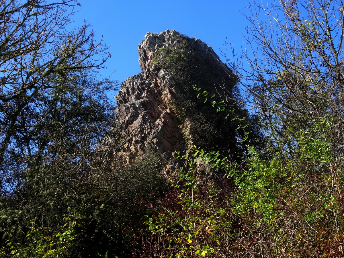
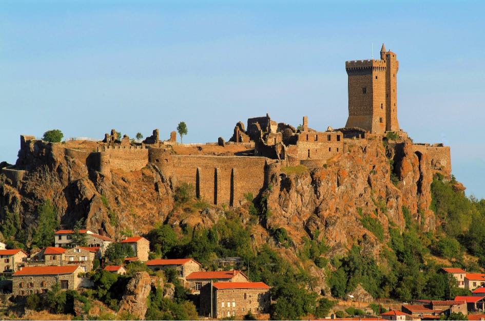
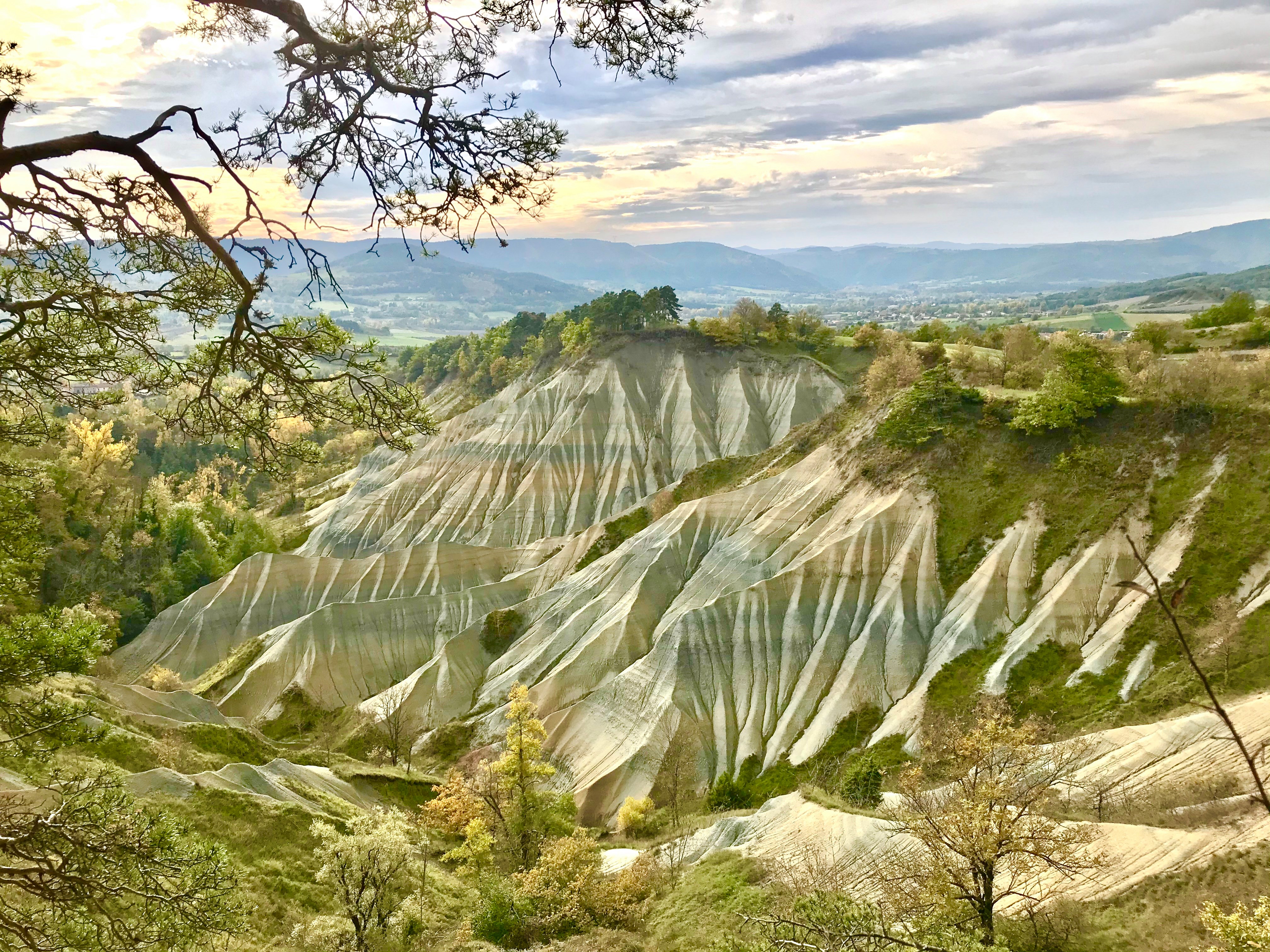
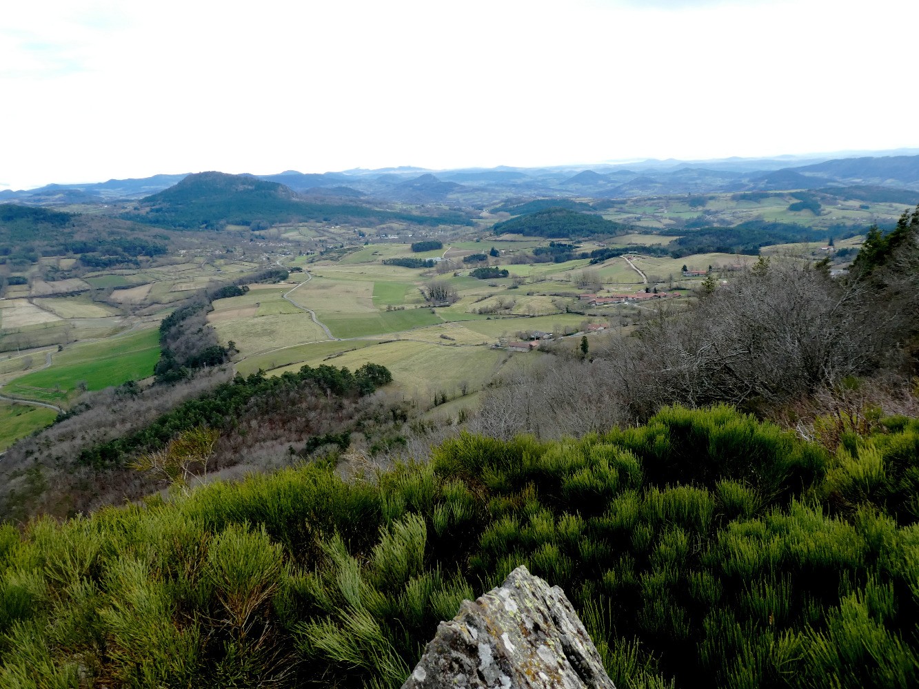
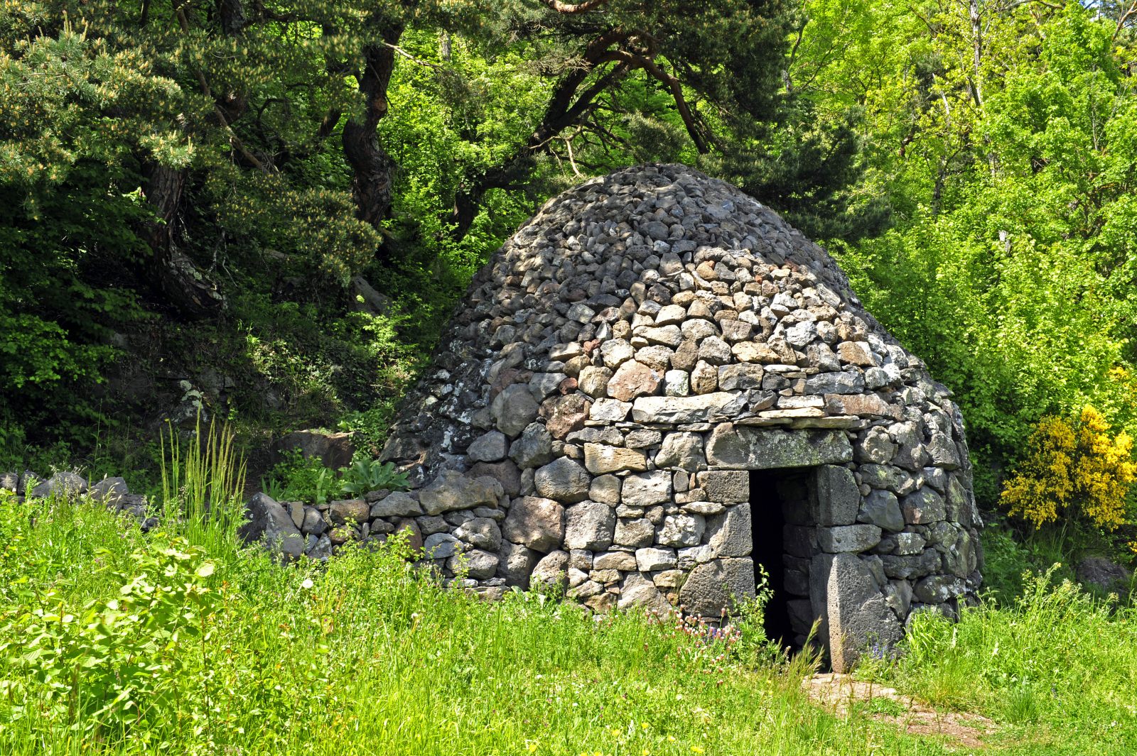
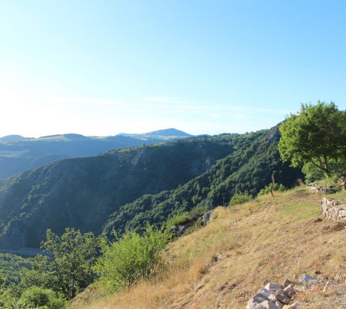
Here is a hike offering a nice view of the Loire gorges. This route follows stony paths and takes place in diverse and varied landscapes, between fields, undergrowth and ravines.

Already more than 200,000 users!
Uphill
124m
Highest point
901m
Downhill
124m
Lowest point
803m
Route type
Loop
Download the map on your smartphone to save battery and rest assured to always keep access to the route, even without signal.
Includes IGN France and Swisstopo.
I indicate whether dogs are allowed or prohibited on this trail
Can be difficult in Winter
1 rating
Also enjoy:

Already more than 200,000 users!