Uphill
130m
Length
2km
Duration
1h
Elev gain
130m
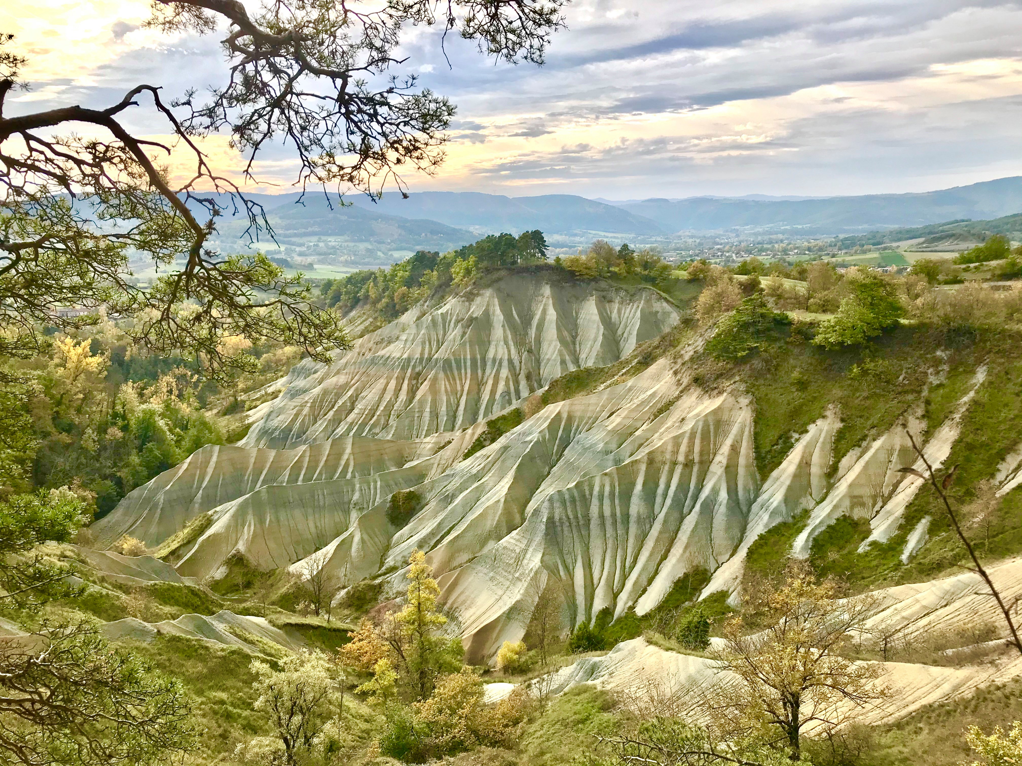
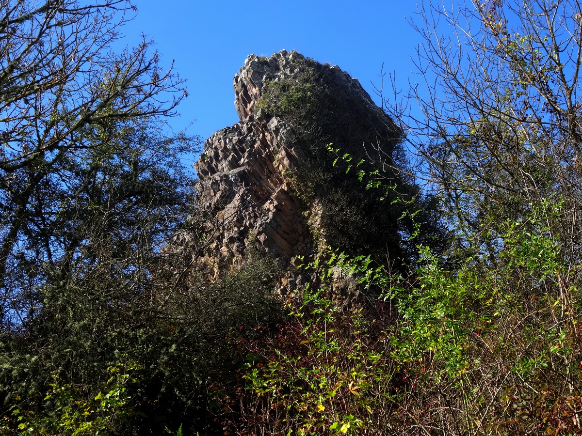
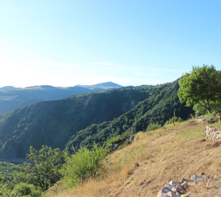
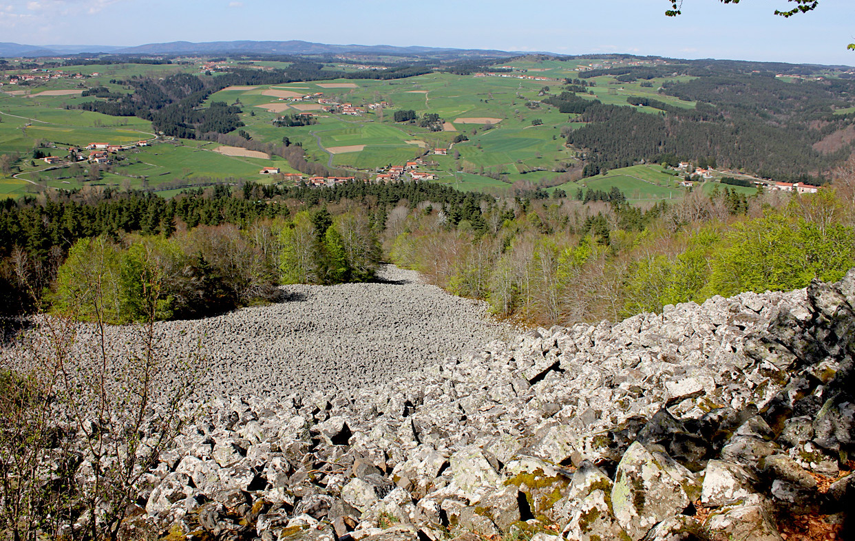
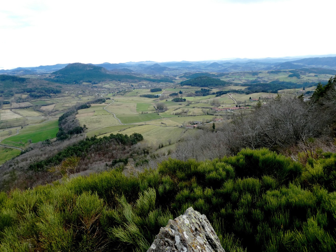
Short route certainly, but slightly abrupt. Indeed, this path goes to attack the volcano of Bartou, which requires some physical effort in order to be able to enjoy a nice view at its summit.

Already more than 200,000 users!
Uphill
130m
Highest point
969m
Downhill
130m
Lowest point
830m
Route type
Loop
Download the map on your smartphone to save battery and rest assured to always keep access to the route, even without signal.
Includes IGN France and Swisstopo.
I indicate whether dogs are allowed or prohibited on this trail
Can be difficult in Winter
0 ratings
Also enjoy:

Already more than 200,000 users!