Uphill
200m
Length
5km
Duration
1h30min
Elev gain
200m
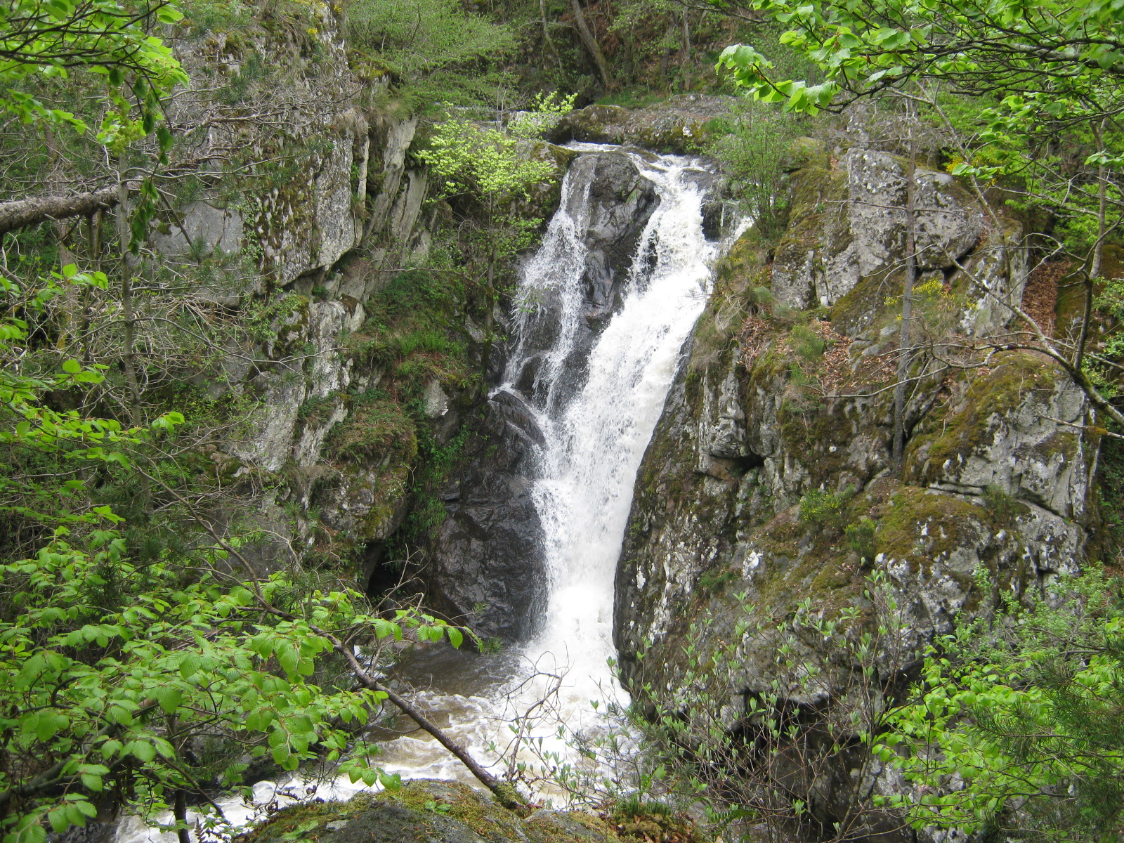
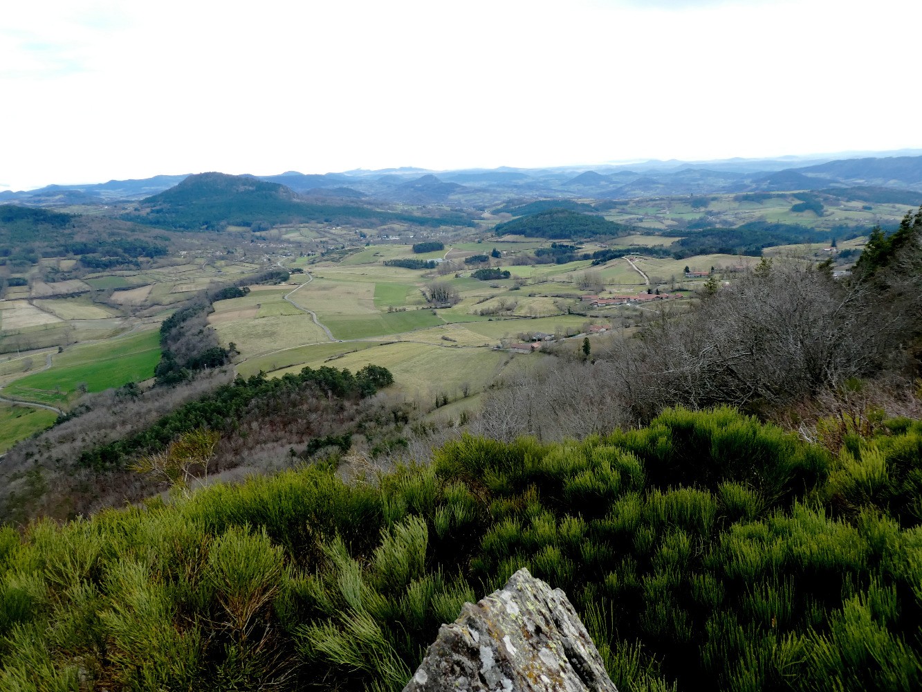
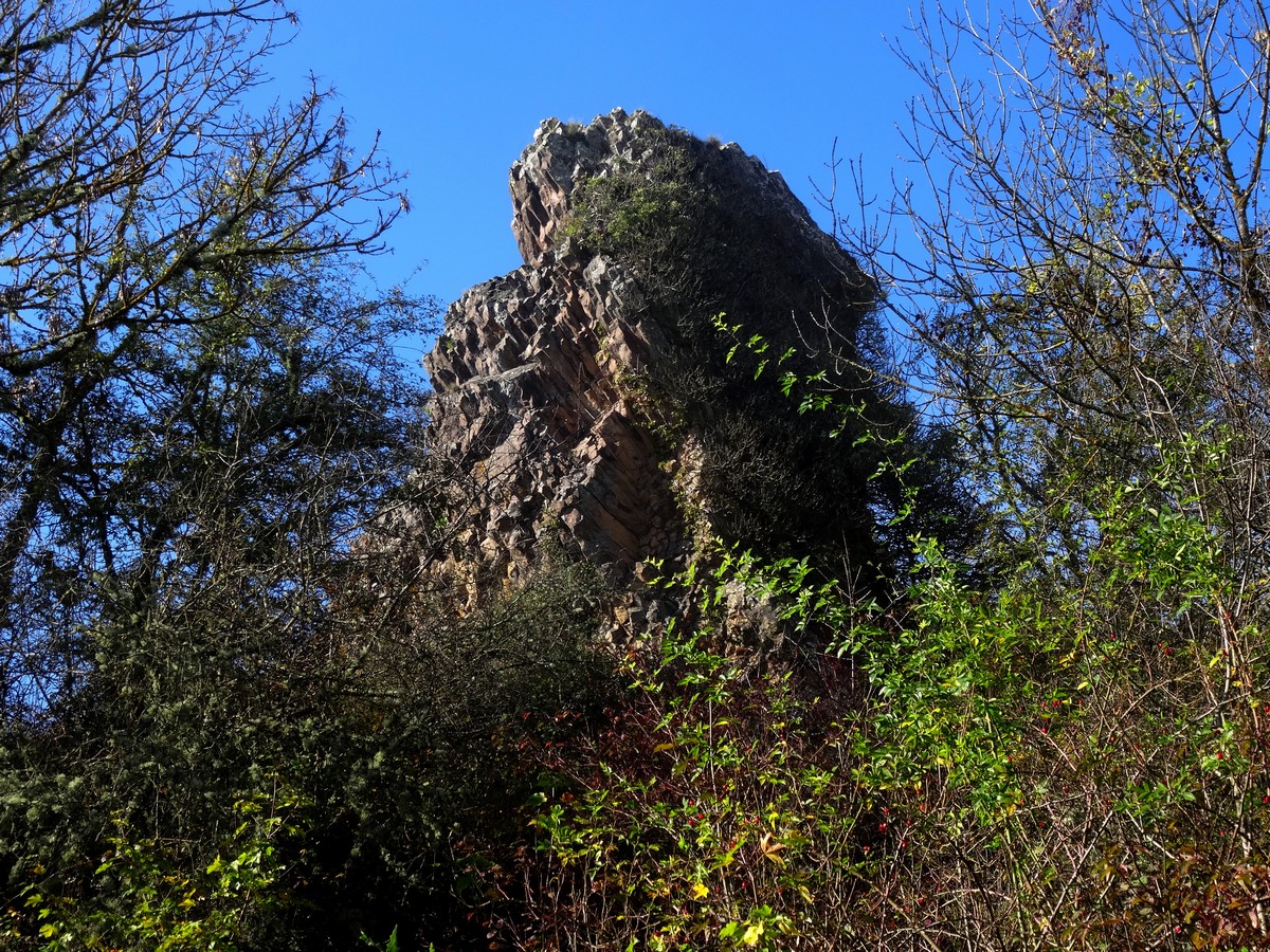
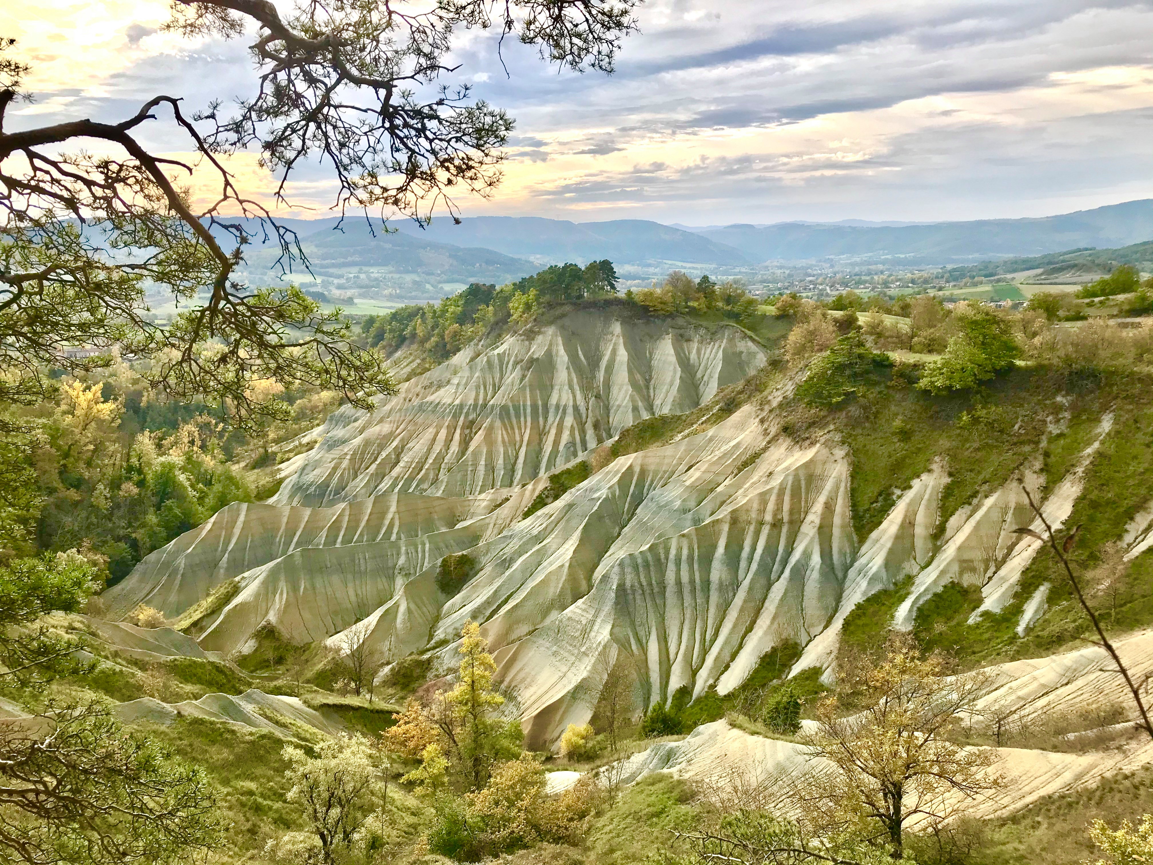
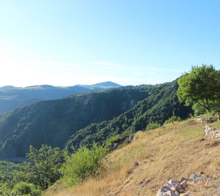
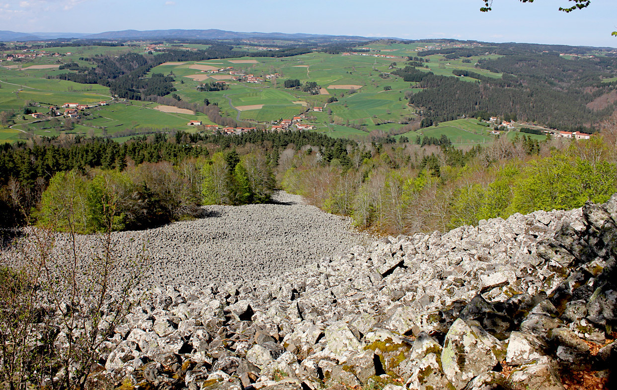
This route makes a nice loop in the forest and passes by the scree of Bourrianne, an accumulation of blocks of basalt which makes it possible to become aware of the force of erosion exerted on the volcanic reliefs.
Note that the route follows a road for just over a kilometer.

Already more than 200,000 users!
Uphill
200m
Highest point
939m
Downhill
200m
Lowest point
800m
Route type
Loop
Download the map on your smartphone to save battery and rest assured to always keep access to the route, even without signal.
Includes IGN France and Swisstopo.
I indicate whether dogs are allowed or prohibited on this trail
Can be difficult in Winter
0 ratings
Also enjoy:

Already more than 200,000 users!