Uphill
193m
Length
8km
Duration
2h30min
Elev gain
193m
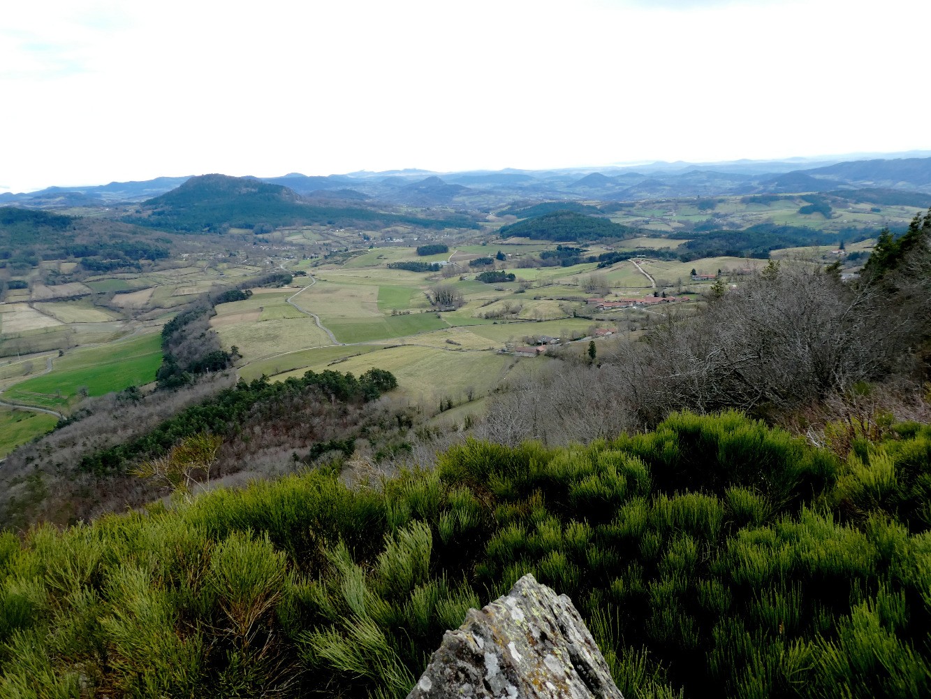
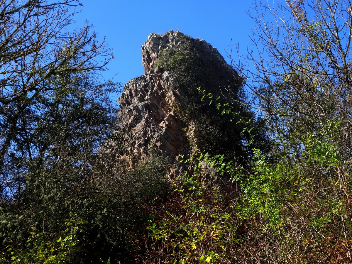
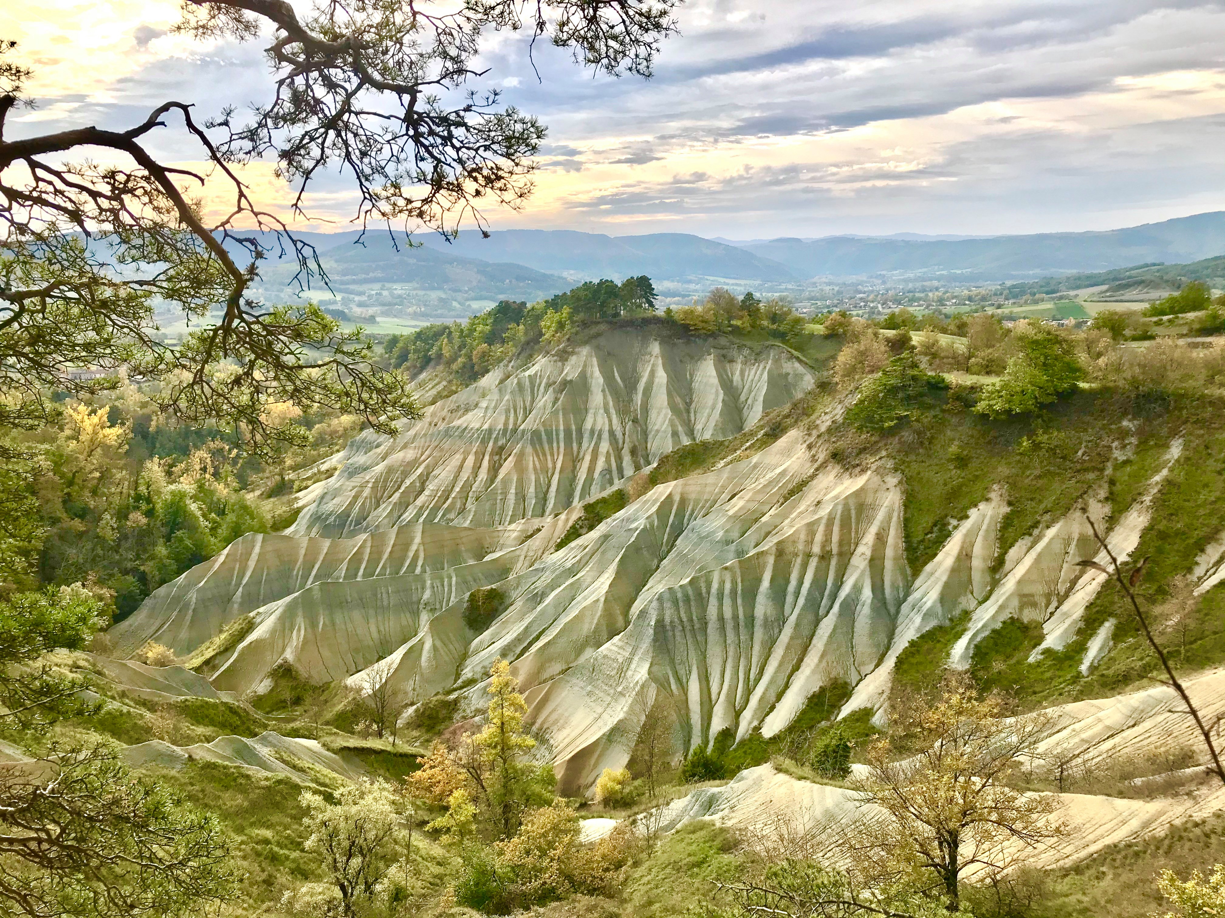
Departing from Rosières, this route leads to the ravine of Corboeuf, also called the Colorado of Haute-Loire. The loop continues past a belvedere that offers a panoramic view of the ravine.

Already more than 200,000 users!
Uphill
193m
Highest point
807m
Downhill
193m
Lowest point
657m
Route type
Loop
Download the map on your smartphone to save battery and rest assured to always keep access to the route, even without signal.
Includes IGN France and Swisstopo.
7 ratings
Bien joli point de vue Aux différents belvédères..pour pimenter un peu le parcours.depart en bas de la gendarmerie direction le cimetière.suivre balisage.. grand boucle.avec dénivelés importants.qui du coup change de catégorie de facile a moyenne.niveau difficulté.
Jolis points de vue aux différents belvédères 😎
Il est bien mais ça monte pas mal quand meme, c’est dur pour les petits et les débutants en randonnée.
Attention à bien suivre le chemin et ne pas prendre de raccourci (surtout au retour il y a un raccourci qu’on voit bien sur la carte, mais je déconseille, c’est très étroit, très caillouteux, les jambes souffrent)
Also enjoy:

Already more than 200,000 users!