Uphill
163m
Length
6km
Duration
2h
Elev gain
163m
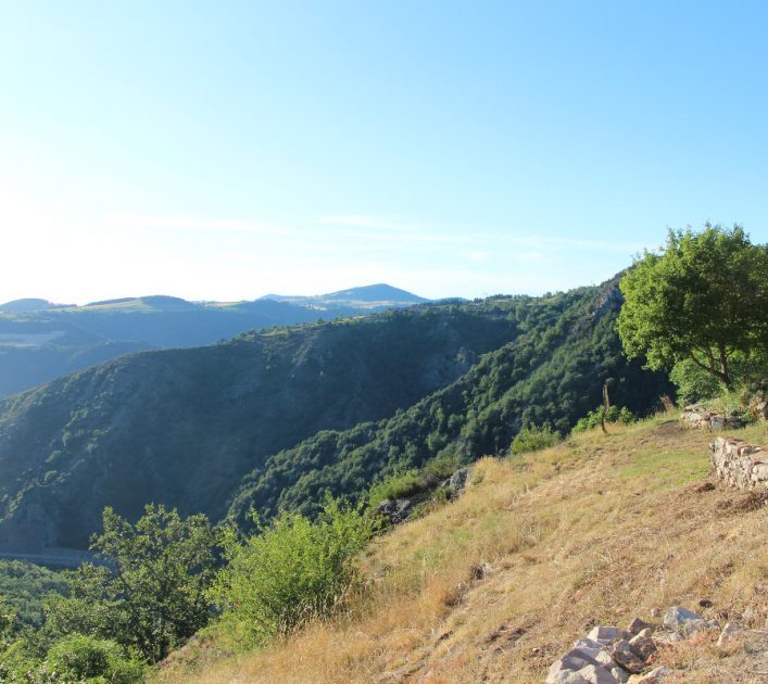
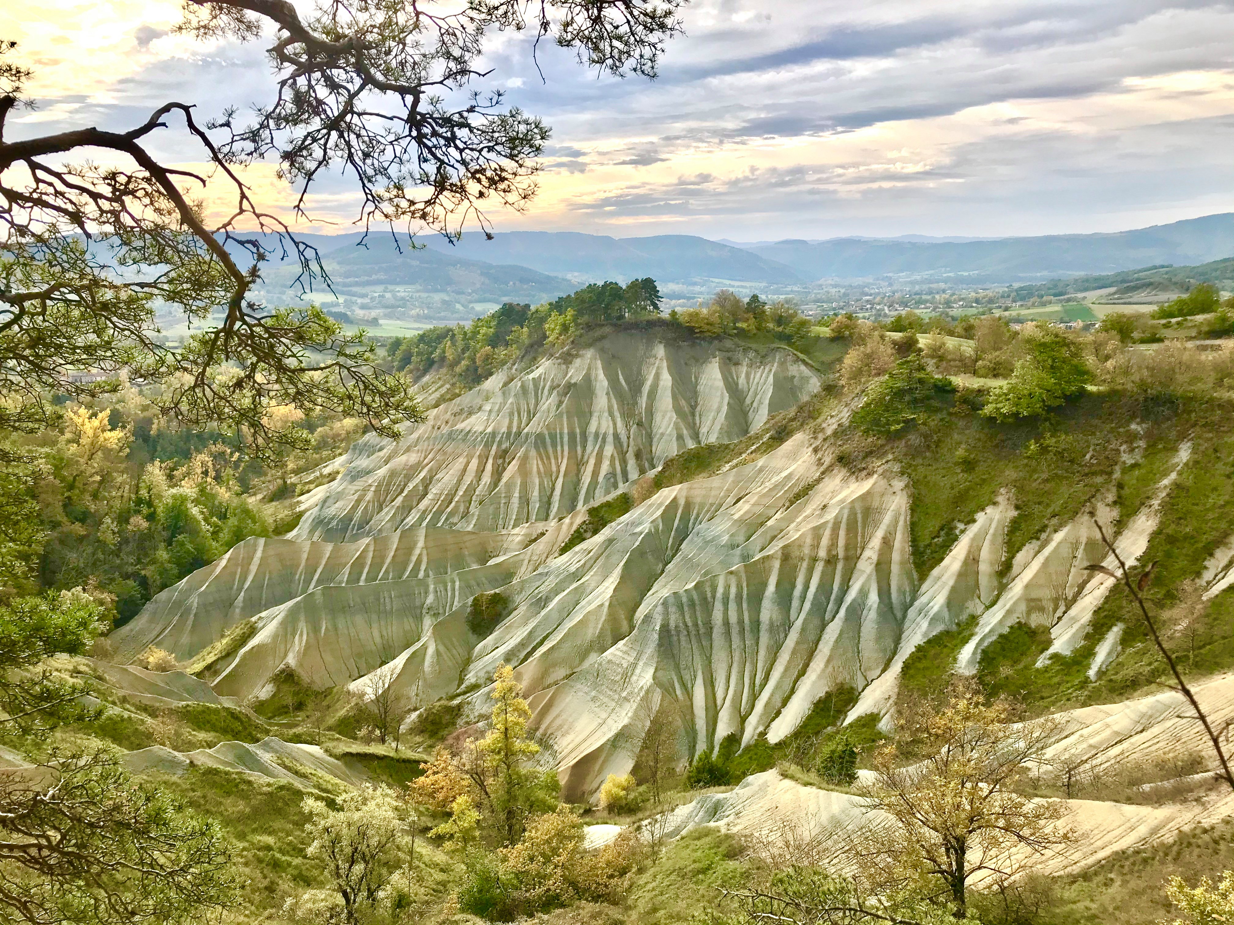
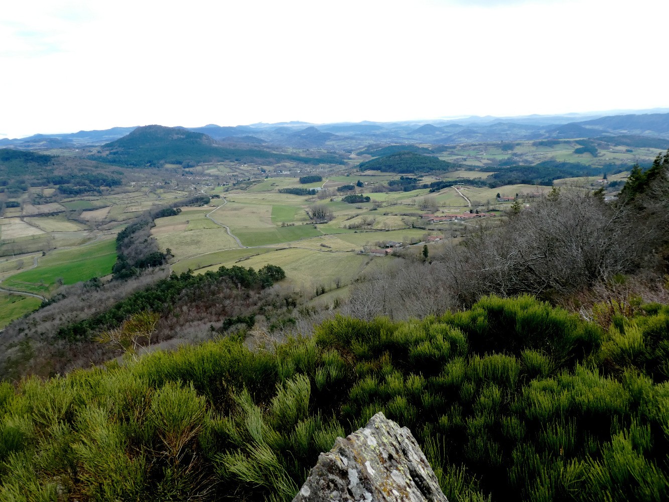
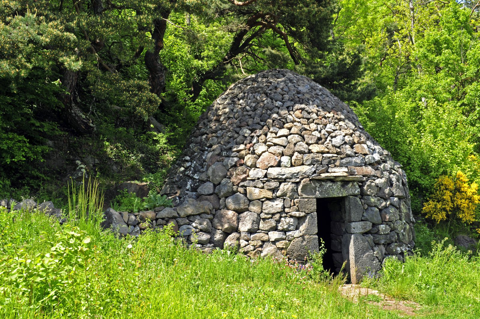
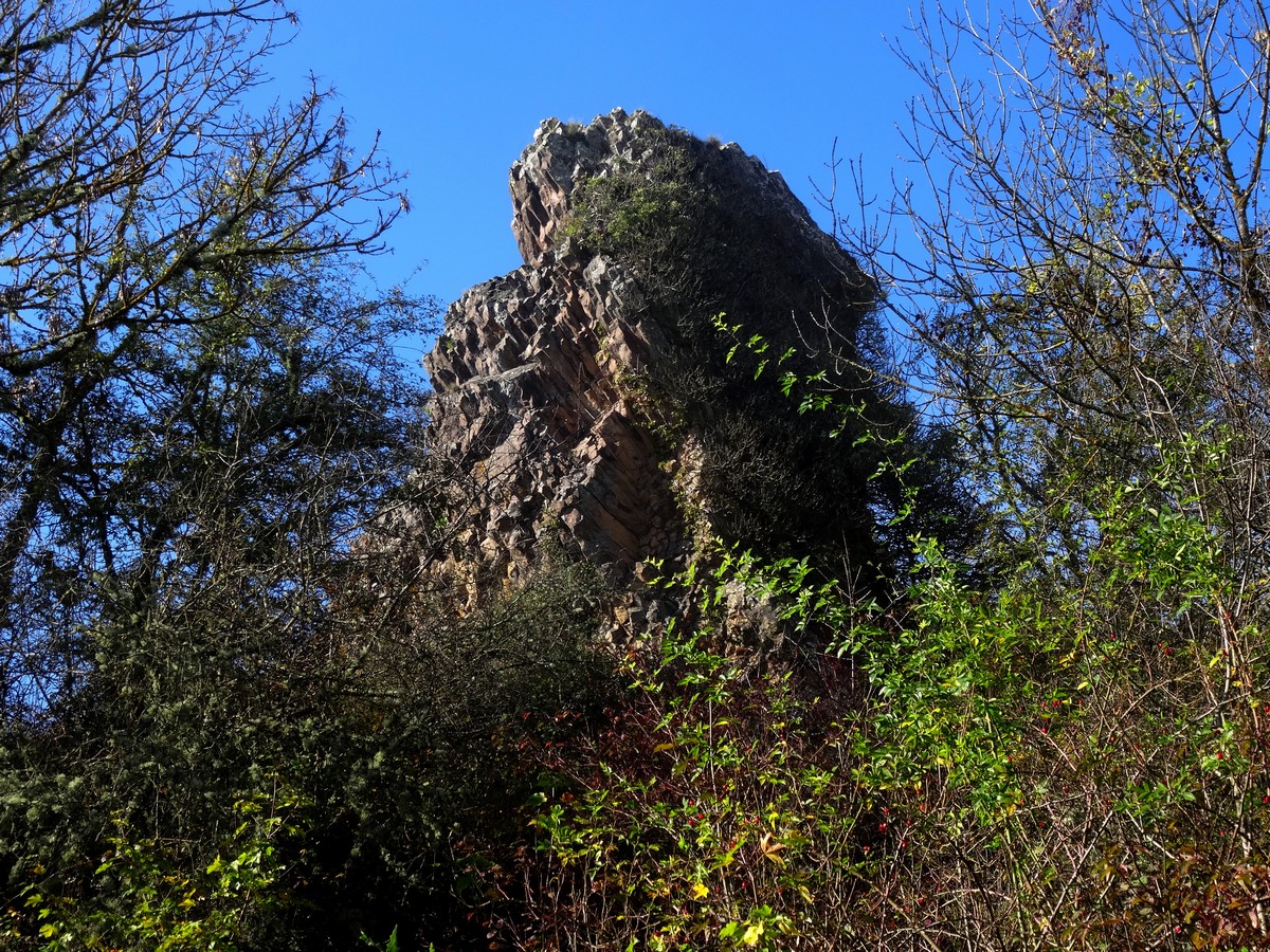
It is north of Beaulieu that this hike begins. The route sets out to discover two volcanic saps, the Courniol sap (758 m) and the Recours sap. The path makes a loop and offers superb views of the reliefs of the Emblavez, a real treat!

Already more than 200,000 users!
Uphill
163m
Highest point
697m
Downhill
163m
Lowest point
556m
Route type
Loop
Download the map on your smartphone to save battery and rest assured to always keep access to the route, even without signal.
Includes IGN France and Swisstopo.
I indicate whether dogs are allowed or prohibited on this trail
All year
1 rating
Also enjoy:

Already more than 200,000 users!