Uphill
77m
Length
2km
Duration
1h
Elev gain
77m
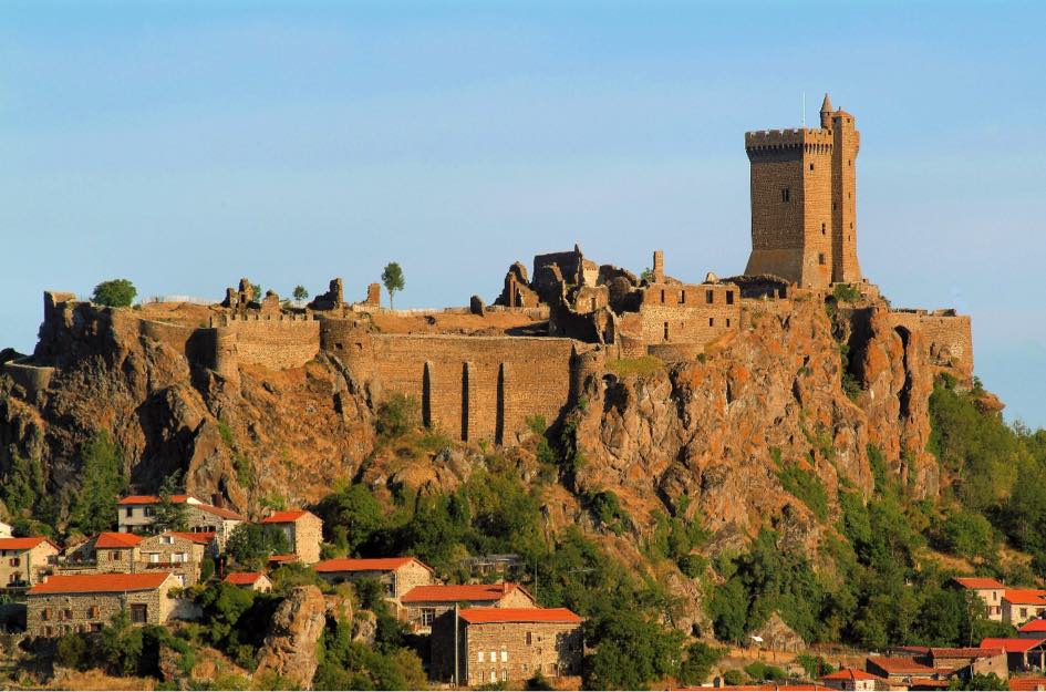
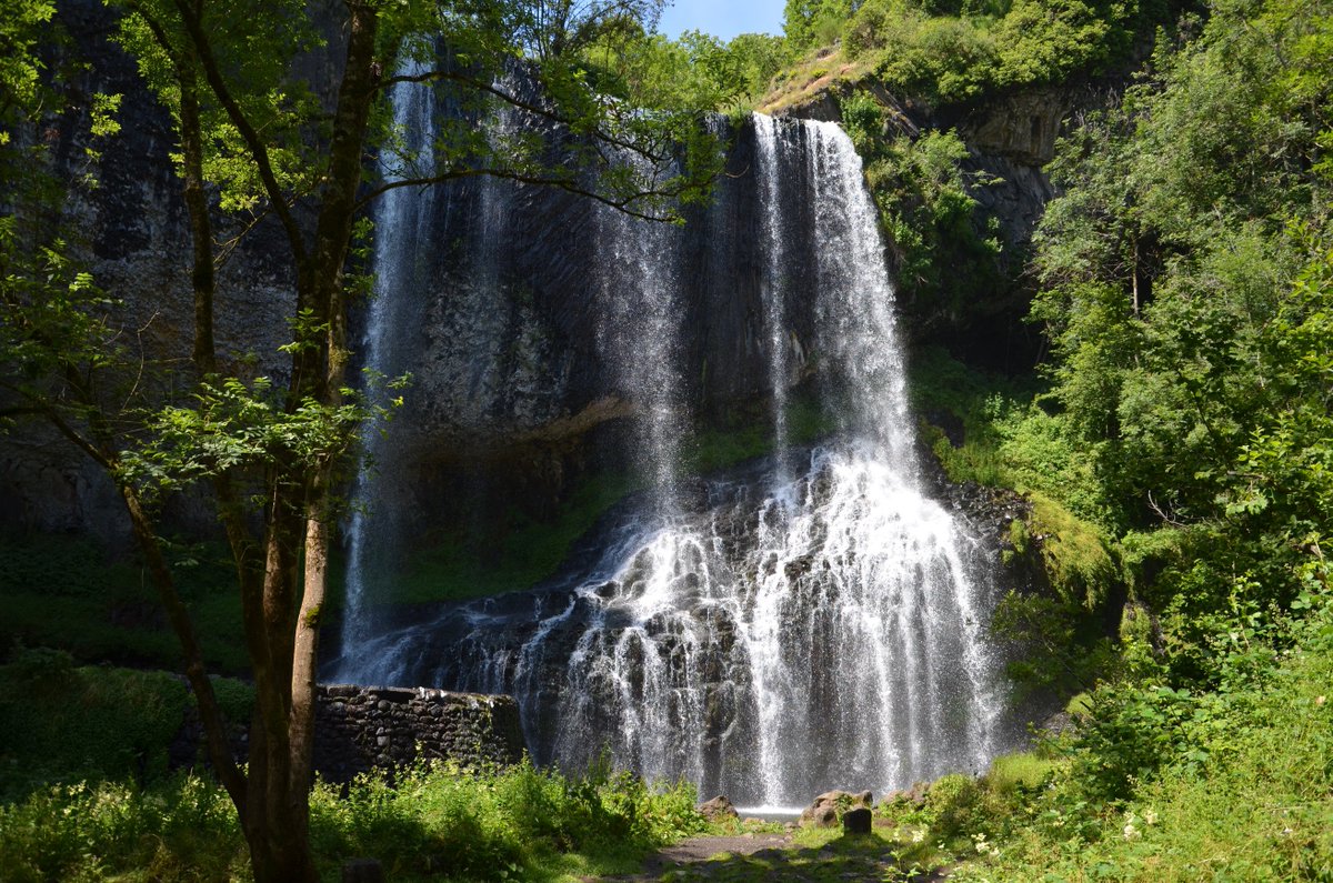
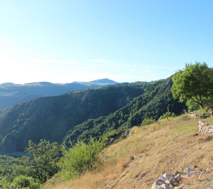
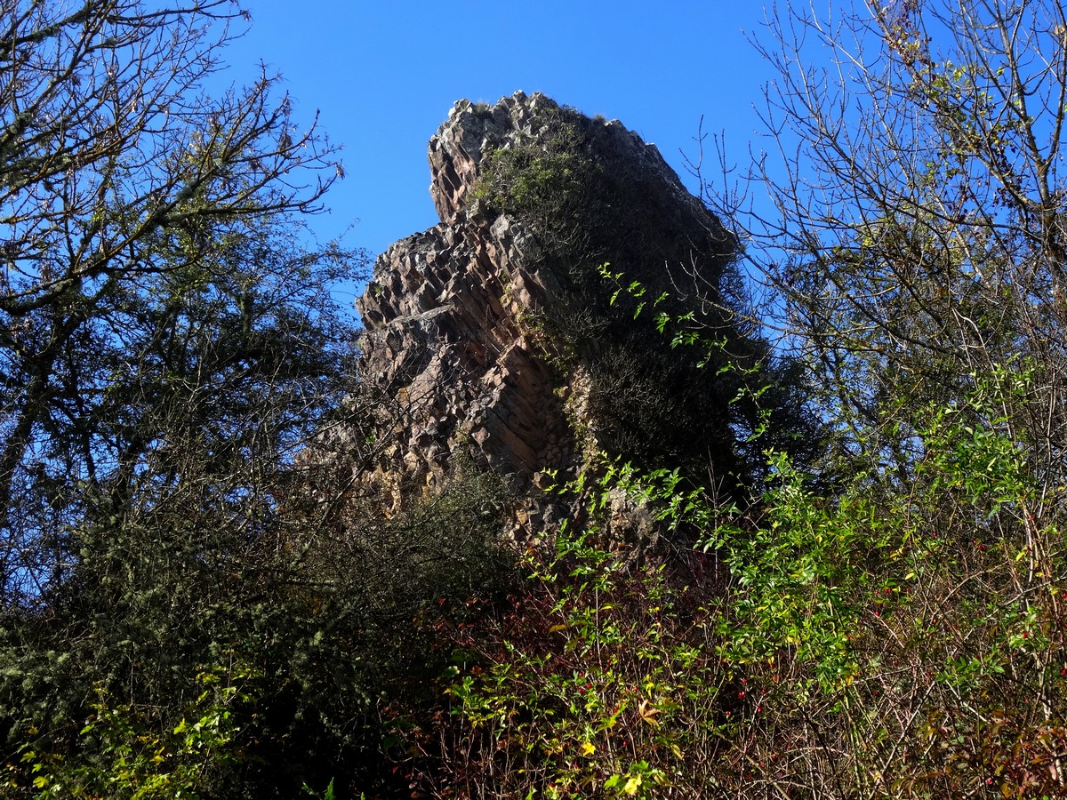
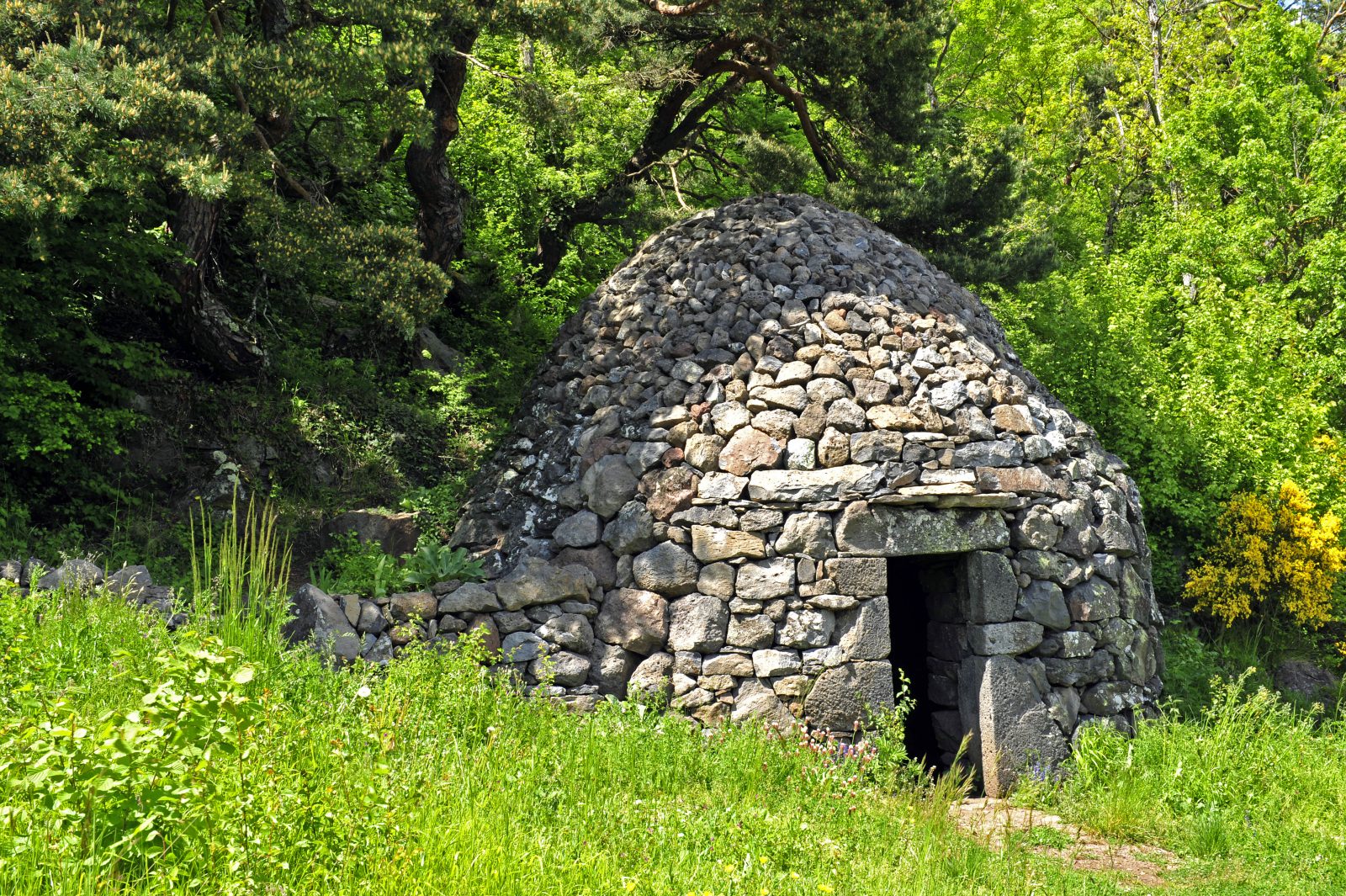
This route starts near Vals-près-le-Puy and makes a loop on a path accessible to all, offering pretty landscapes typical of the Puy-en-Velay region.

Already more than 200,000 users!
Uphill
77m
Highest point
832m
Downhill
77m
Lowest point
762m
Route type
Loop
Download the map on your smartphone to save battery and rest assured to always keep access to the route, even without signal.
Includes IGN France and Swisstopo.
I indicate whether dogs are allowed or prohibited on this trail
All year
1 rating
De beau paysage mais les indications ne sont pas top.
Also enjoy:

Already more than 200,000 users!