Uphill
206m
Length
12km
Duration
3h30min
Elev gain
206m
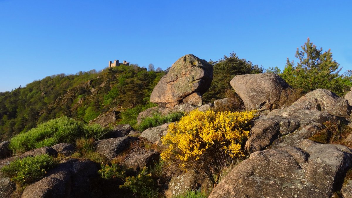
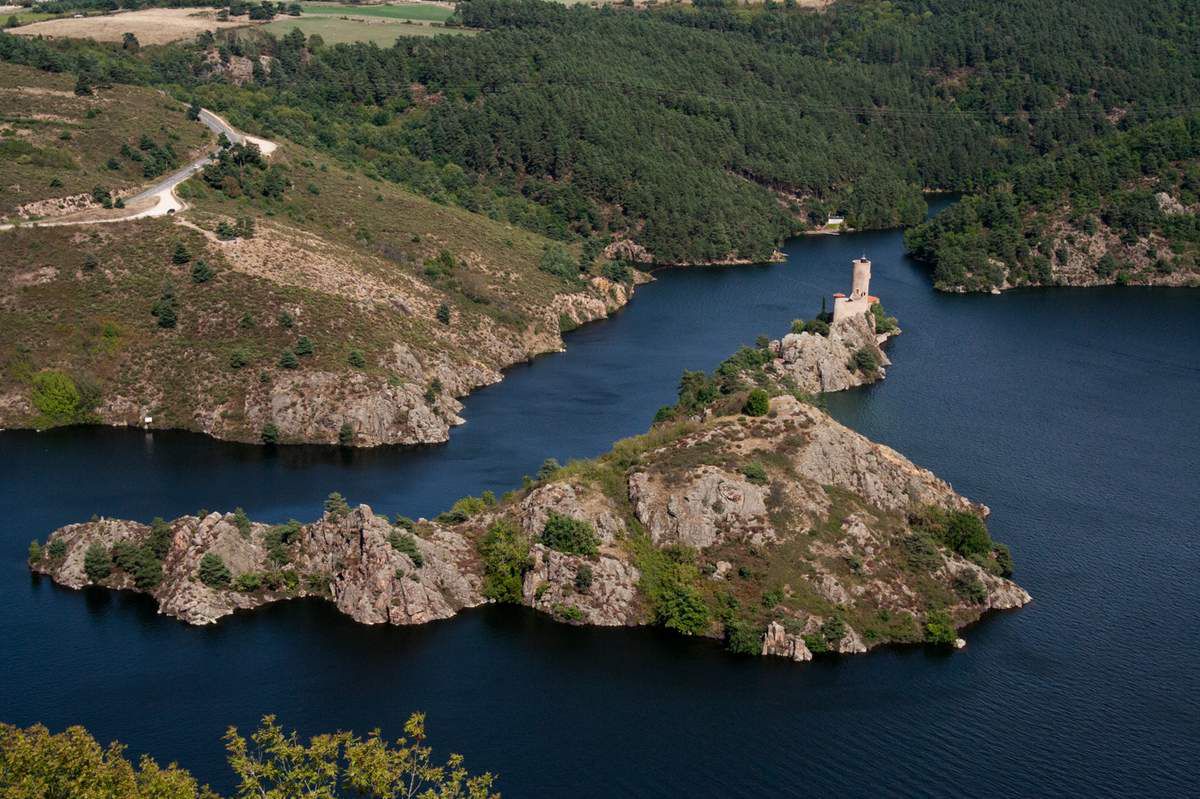
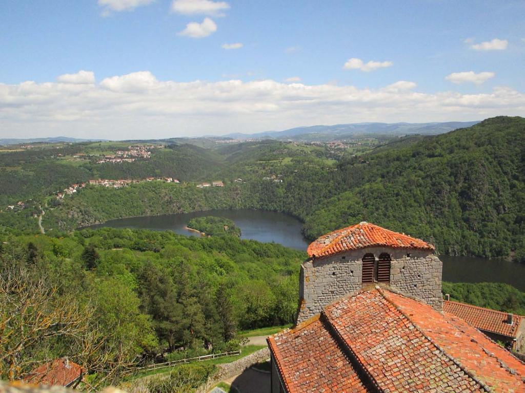
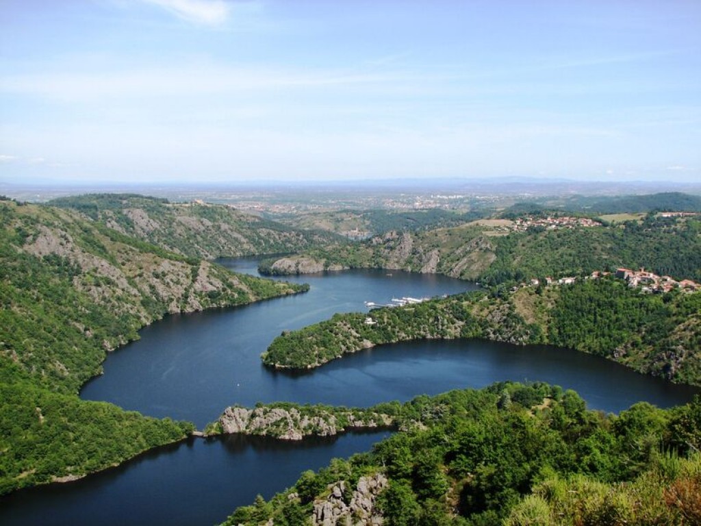
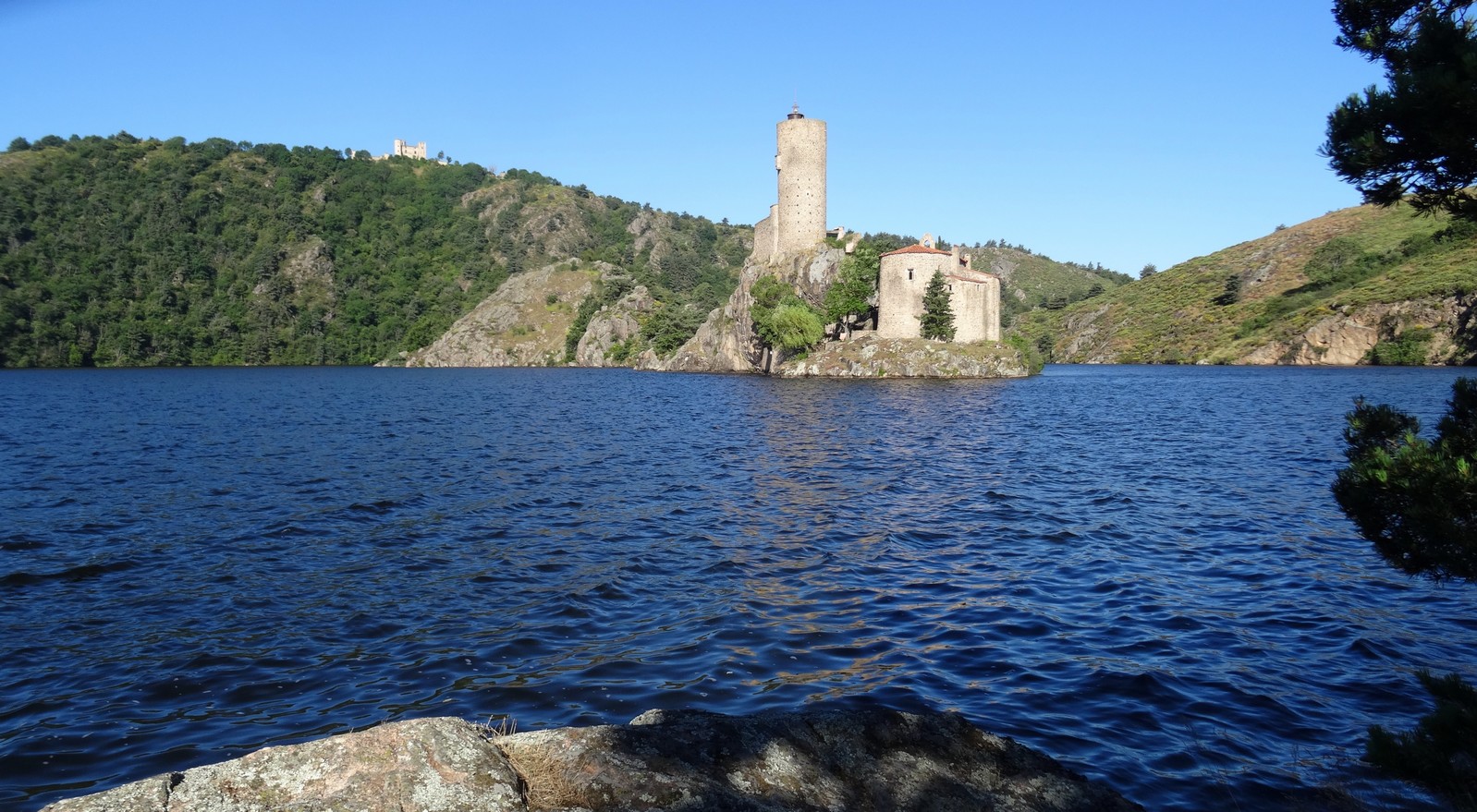
The start of this pretty hike is in Saint-Genest-Lerpt. The path runs along the Grangent stream to the Loire gorges, where it is possible to see the Château de Grangent.

Already more than 200,000 users!
Uphill
206m
Highest point
567m
Downhill
206m
Lowest point
422m
Route type
There and back
Download the map on your smartphone to save battery and rest assured to always keep access to the route, even without signal.
Includes IGN France and Swisstopo.
I indicate whether dogs are allowed or prohibited on this trail
All year
1 rating
Panneaux « chasse gardée », « attention tir à balles » au départ du sentier … il s’agit d’une propriété privée.
Also enjoy:

Already more than 200,000 users!