Uphill
114m
France > Auvergne-Rhône-Alpes > Loire
Length
9km
Duration
2h30min
Elev gain
114m
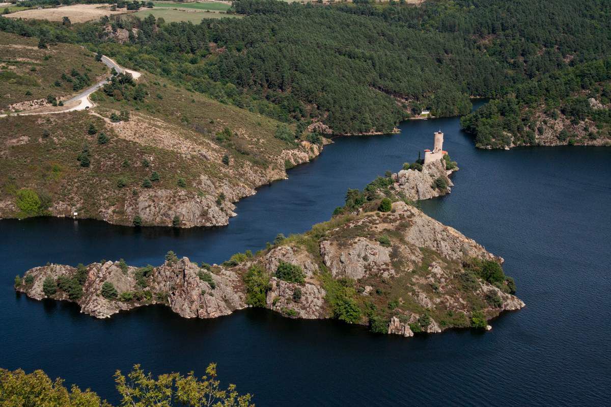
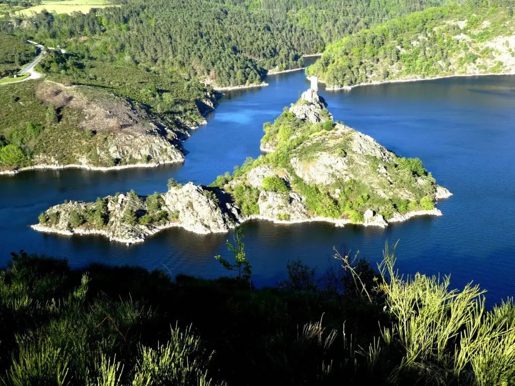
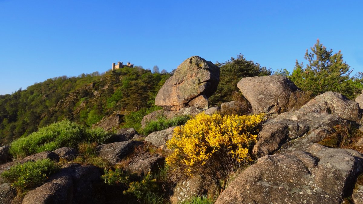
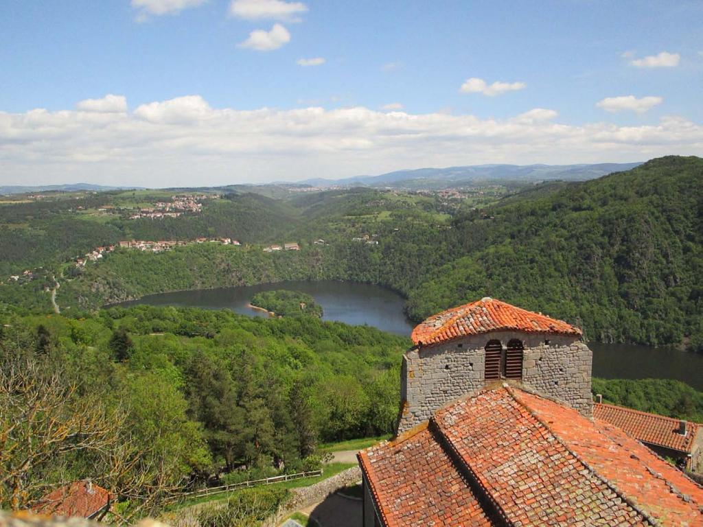
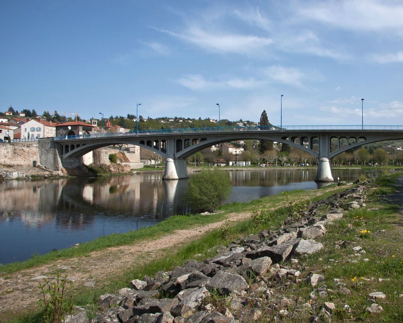
Here is a very nice round trip, starting from Saint-Just-sur-Loire. The path follows the wooded banks of the Loire and offers lovely views of the river, until you reach the Grangent dam.

Already more than 200,000 users!
Uphill
114m
Highest point
417m
Downhill
114m
Lowest point
353m
Route type
There and back
Download the map on your smartphone to save battery and rest assured to always keep access to the route, even without signal.
Includes IGN France and Swisstopo.
I indicate whether dogs are allowed or prohibited on this trail
All year
0 ratings
Also enjoy:

Already more than 200,000 users!