Uphill
396m
Length
11km
Duration
4h
Elev gain
396m
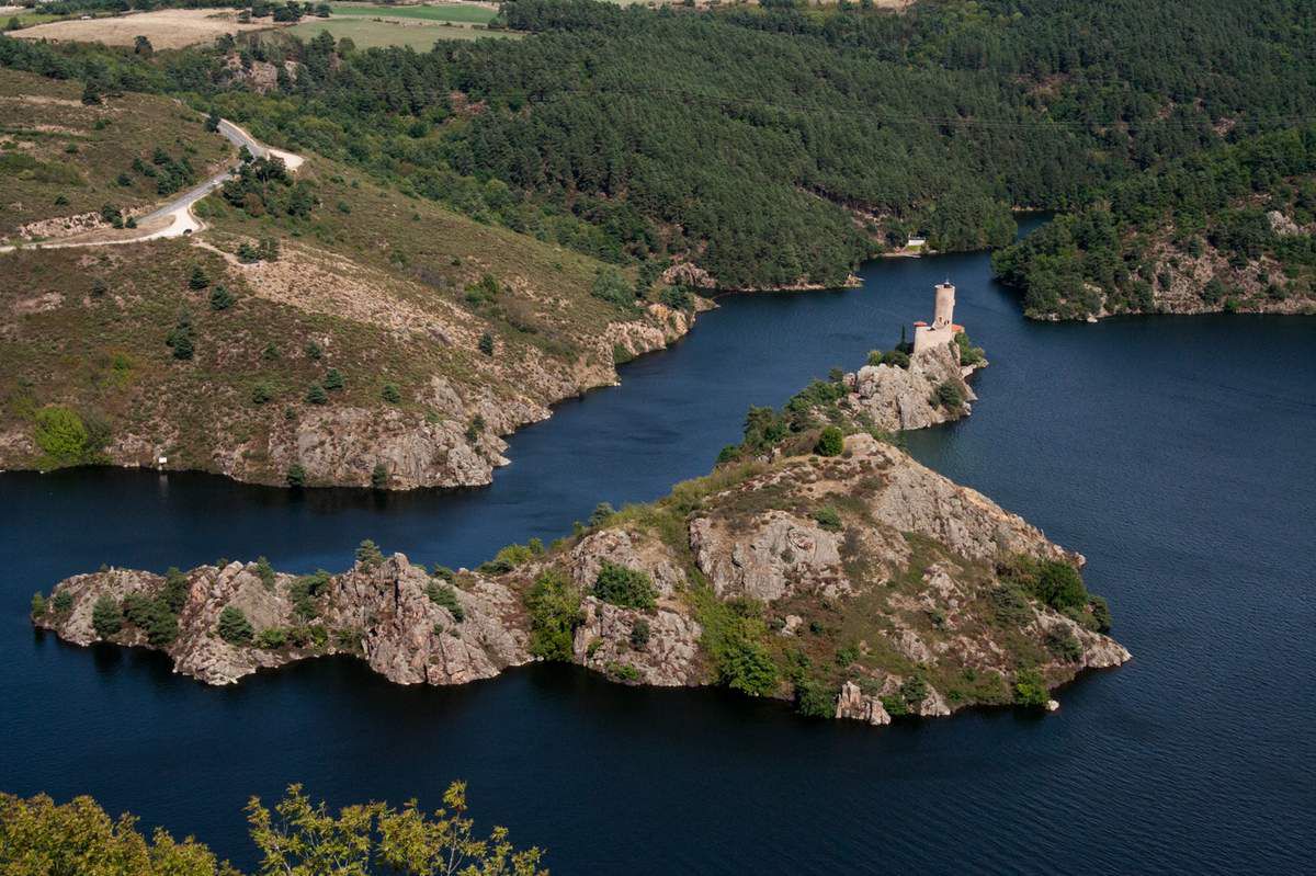
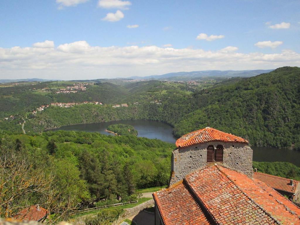
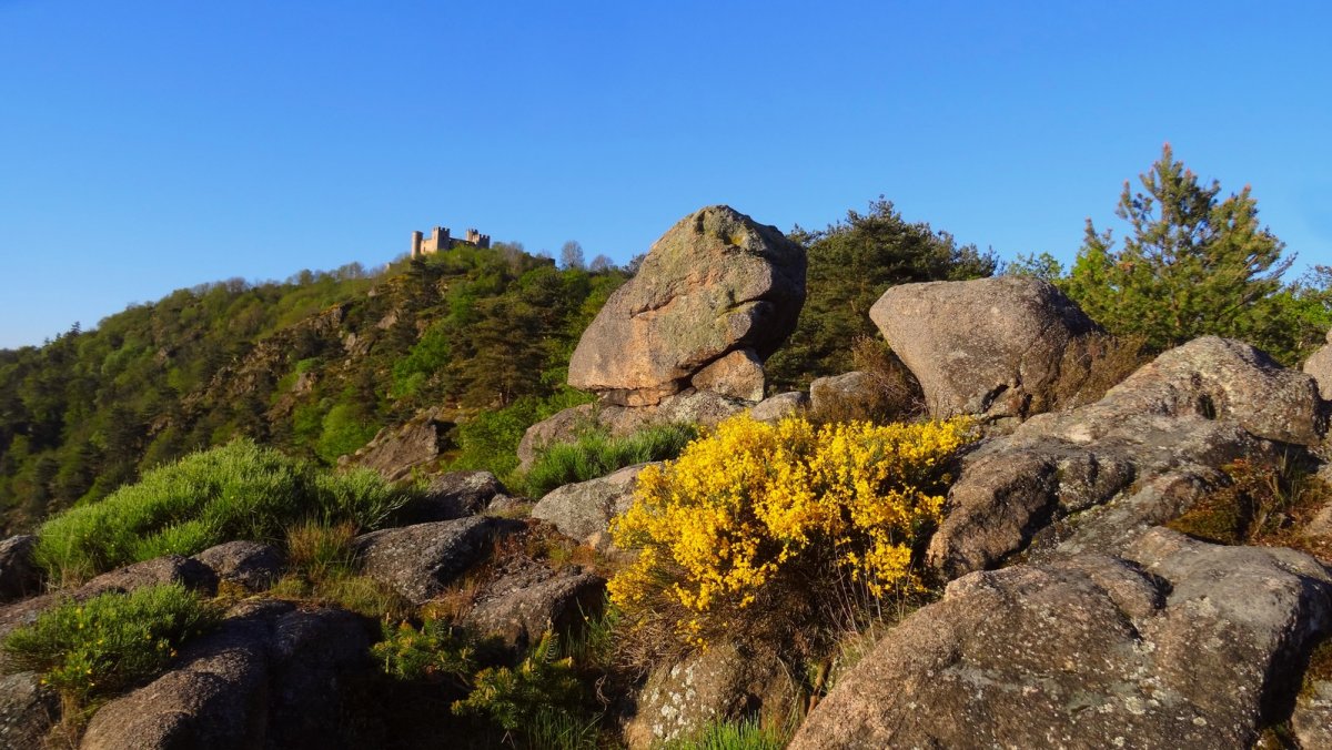
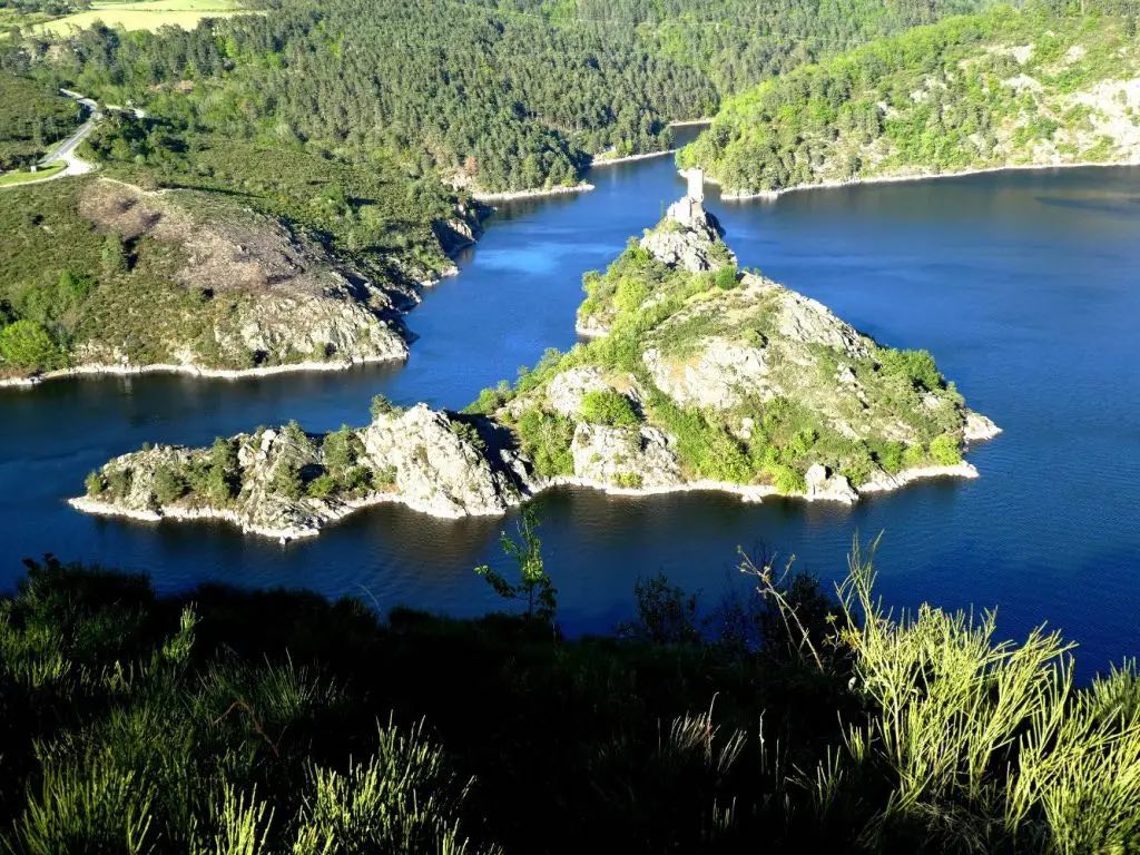
Leaving from Cessieux, this path leads to the belvedere of Lac de Grangent. The route, mainly through the forest, passes by the medieval castle of Essalois, where the view of the Loire gorges is already splendid, before leading to the belvedere. The return to the starting point is via the same path.

Already more than 200,000 users!
Uphill
396m
Highest point
618m
Downhill
396m
Lowest point
426m
Route type
There and back
Download the map on your smartphone to save battery and rest assured to always keep access to the route, even without signal.
Includes IGN France and Swisstopo.
I indicate whether dogs are allowed or prohibited on this trail
All year
2 ratings
Also enjoy:

Already more than 200,000 users!