Uphill
141m
Length
5km
Duration
1h30min
Elev gain
141m
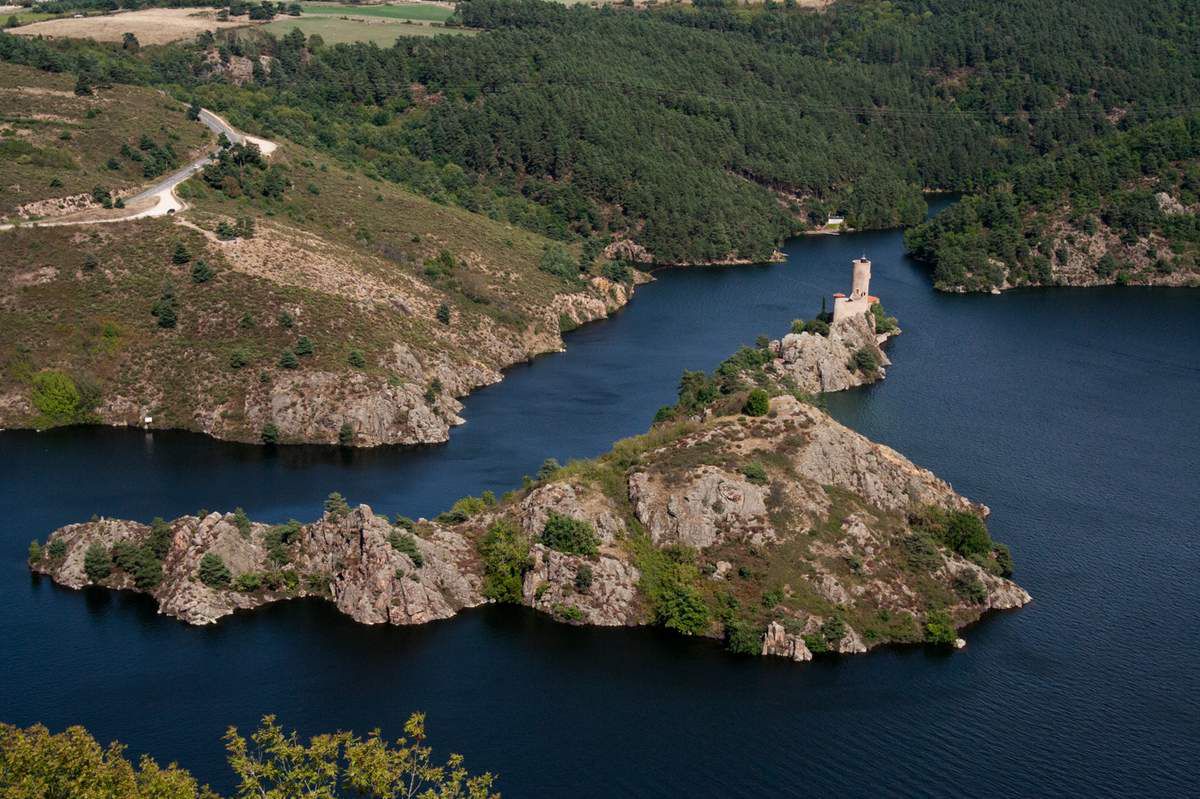
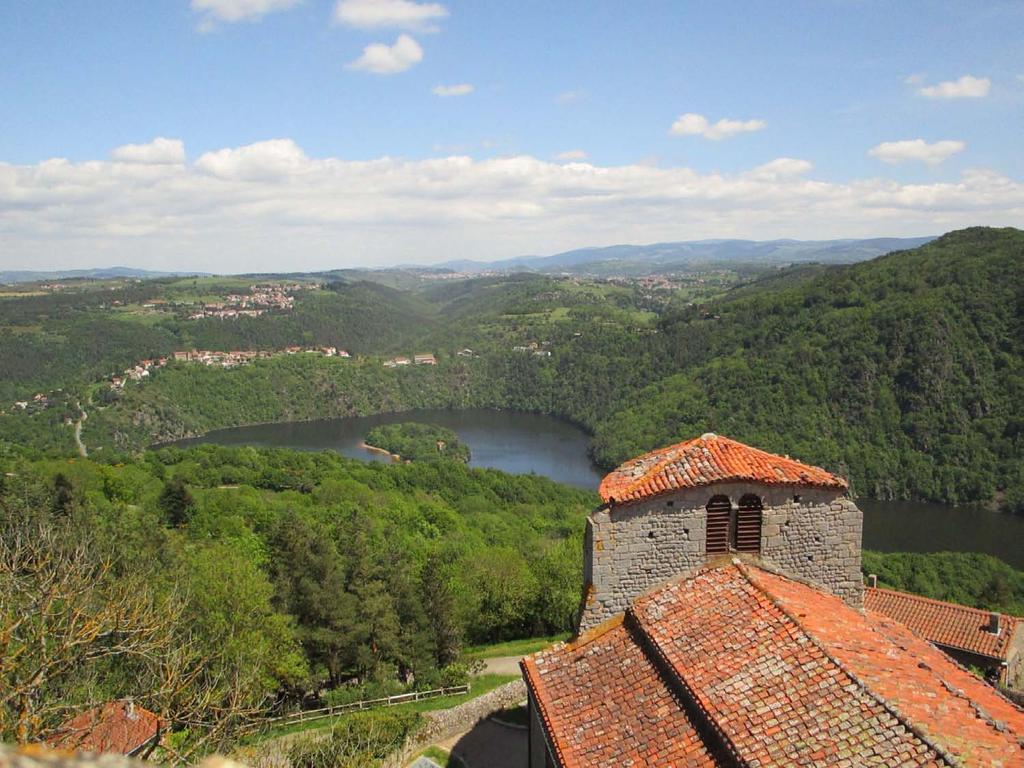
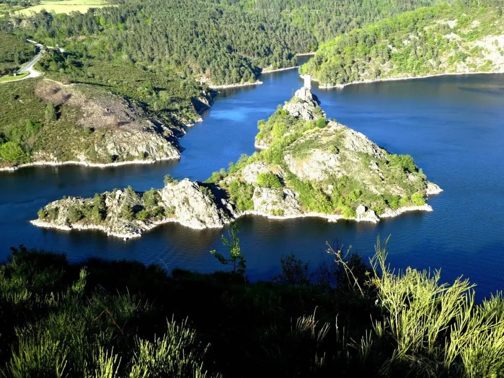
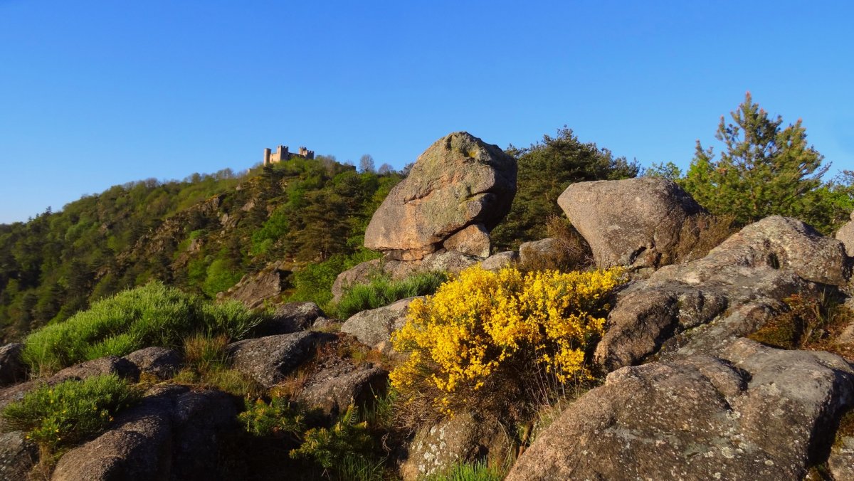
Departing from Condamine, this trail offers lovely views of Lake Grangent, a reservoir created artificially on the Loire. The route takes place mainly in the forest, within the regional nature reserve of the Loire gorges.

Already more than 200,000 users!
Uphill
141m
Highest point
554m
Downhill
141m
Lowest point
429m
Route type
Loop
Download the map on your smartphone to save battery and rest assured to always keep access to the route, even without signal.
Includes IGN France and Swisstopo.
Parking de la Maison de la Réserve Naturelle Régionale des Gorges de la Loire.
I indicate whether dogs are allowed or prohibited on this trail
All year
4 ratings
Also enjoy:

Already more than 200,000 users!