Uphill
126m

Length
5km
Duration
1h30min
Elev gain
126m
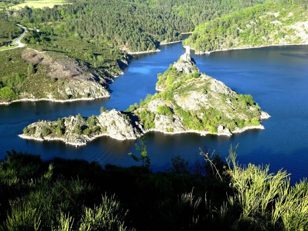
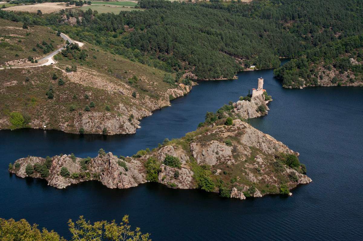
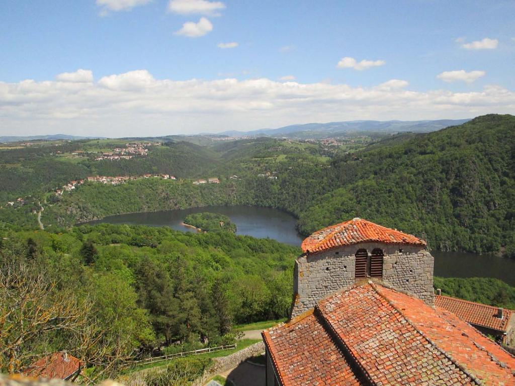
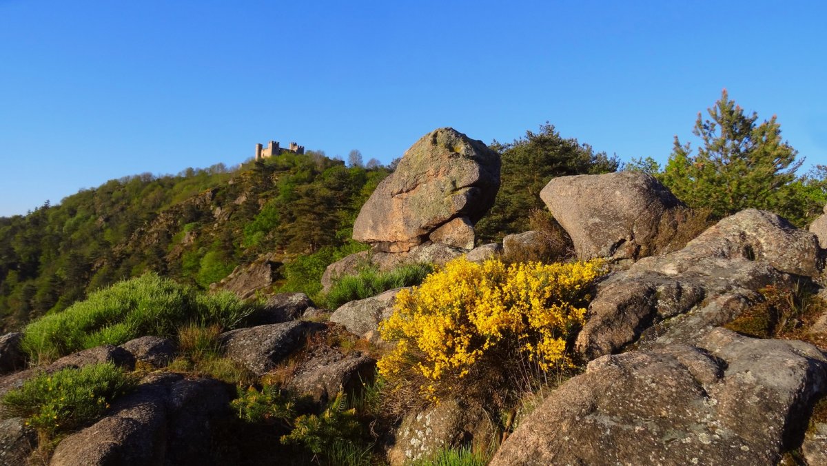
Departing from Cessieux, this family outing will satisfy more than one. Indeed, after crossing the woods, the path leads to a magnificent 16th century castle, that of Éssalois. Overlooking the Loire Valley, the latter offers a very beautiful view of Grangent Island and its castle.

Already more than 200,000 users!
Uphill
126m
Highest point
580m
Downhill
126m
Lowest point
467m
Route type
Loop
Download the map on your smartphone to save battery and rest assured to always keep access to the route, even without signal.
Includes IGN France and Swisstopo.
I indicate whether dogs are allowed or prohibited on this trail
All year
1 rating
Also enjoy:

Already more than 200,000 users!