Uphill
355m
Length
9km
Duration
3h
Elev gain
355m
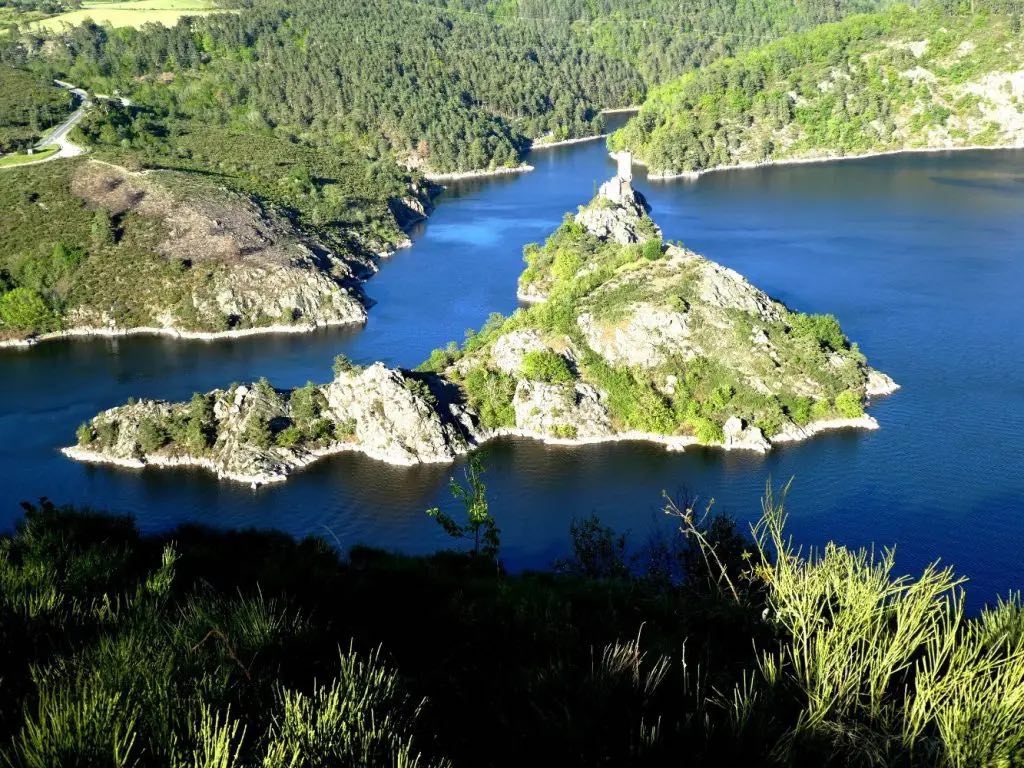
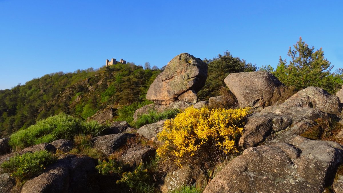
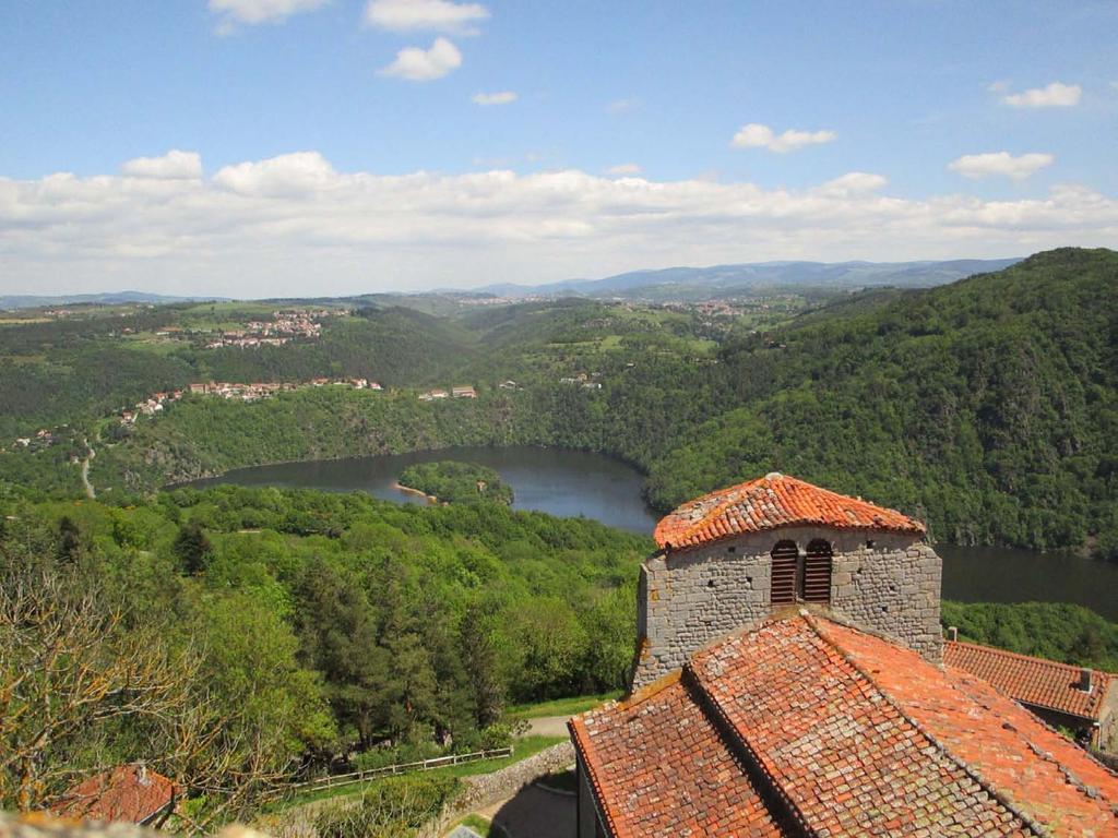
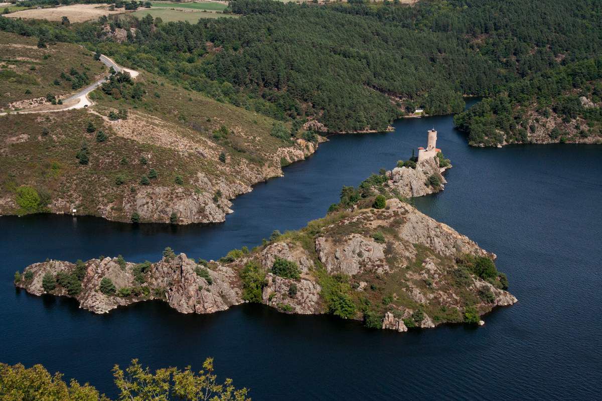
This charming hike begins not far from the Grangent dam. The route passes by the Château d'Éssalois then takes the Camaldules path to reach Chambles, a small medieval town. The view of the Loire gorges and Saint-Victor-sur-Loire are splendid.

Already more than 200,000 users!
Uphill
355m
Highest point
633m
Downhill
355m
Lowest point
419m
Route type
There and back
Download the map on your smartphone to save battery and rest assured to always keep access to the route, even without signal.
Includes IGN France and Swisstopo.
I indicate whether dogs are allowed or prohibited on this trail
All year
3 ratings
Also enjoy:

Already more than 200,000 users!