Uphill
215m
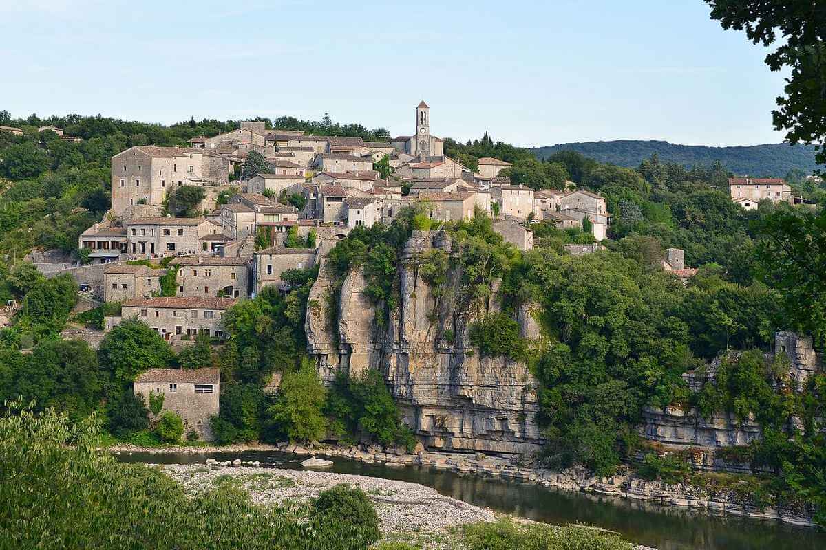
France > Auvergne-Rhône-Alpes > Ardèche > Monts d'Ardèche Regional Natural Park
Length
5km
Duration
2h
Elev gain
215m
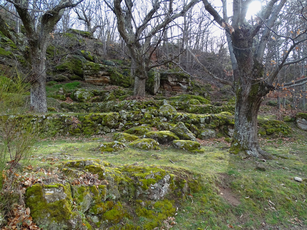
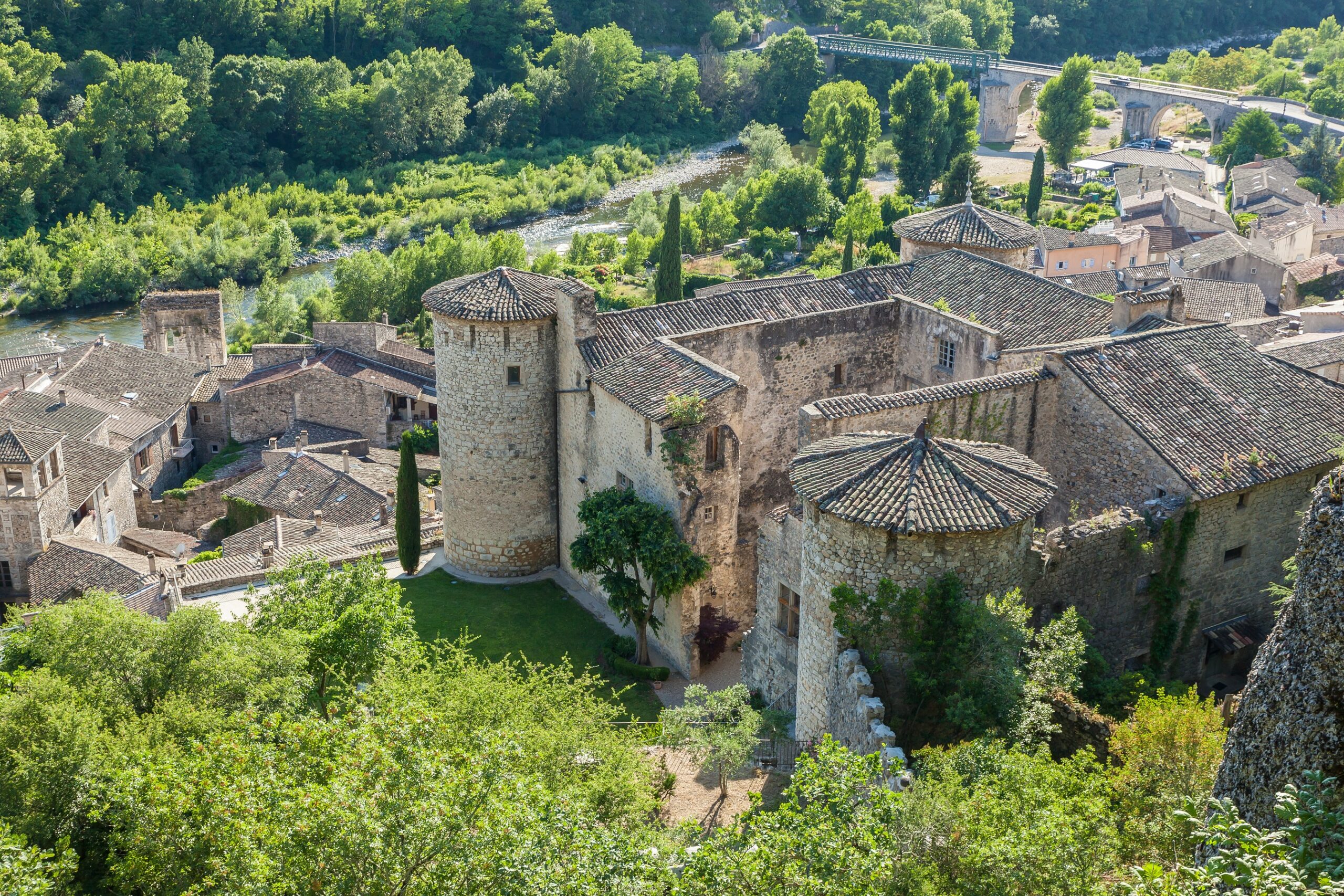
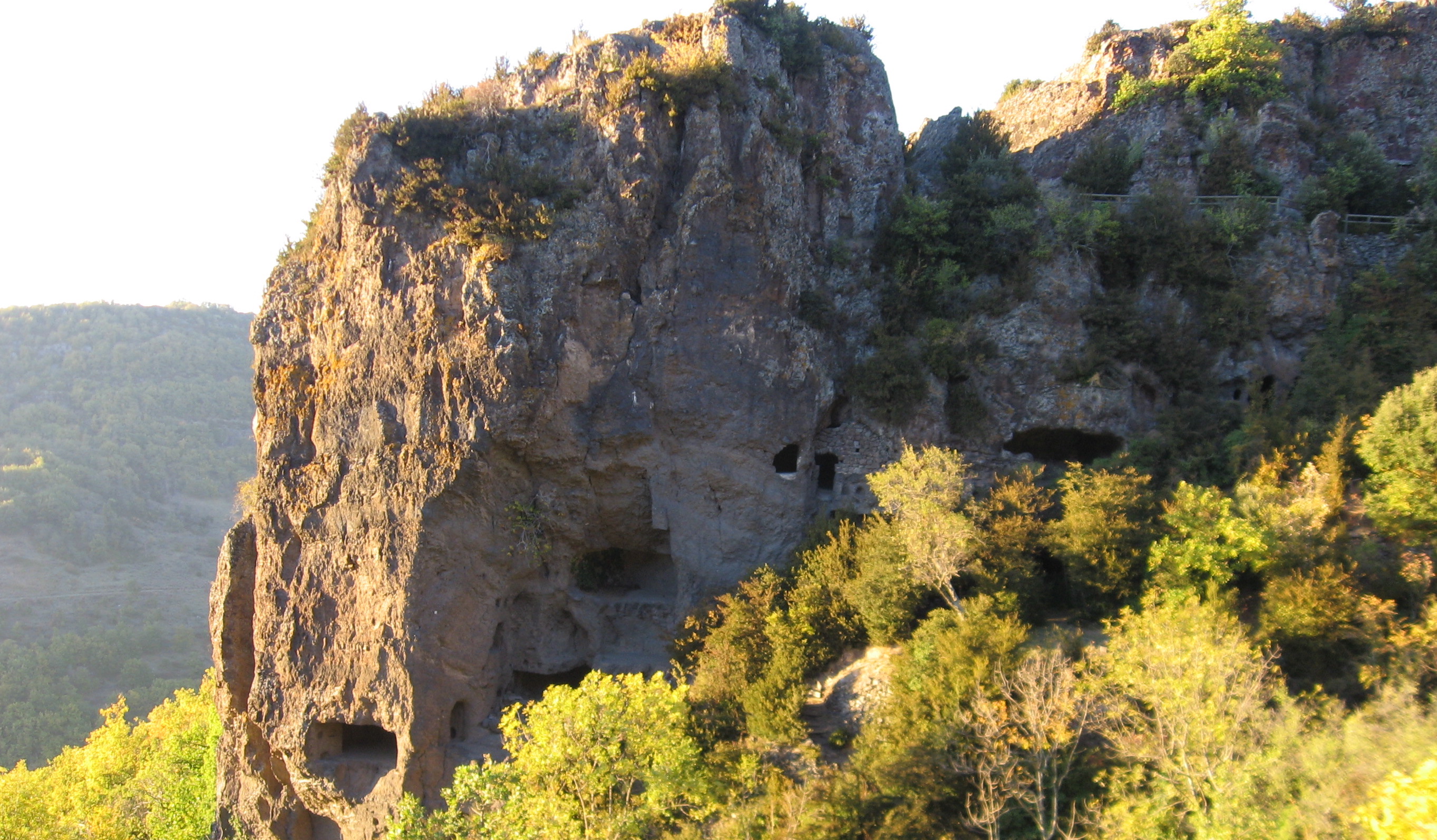
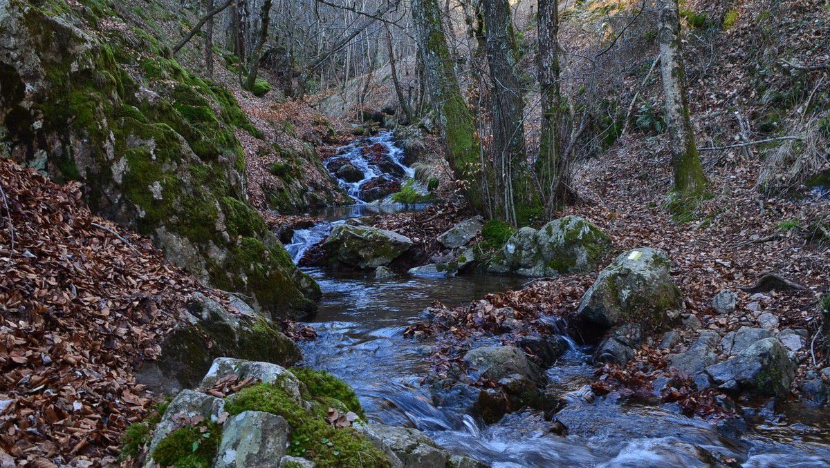
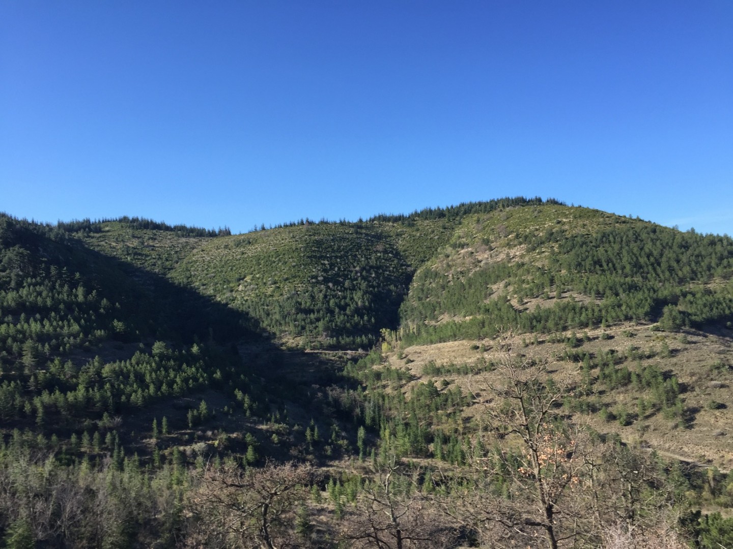
Leaving from Vesseaux, this route climbs via the Chemin de Lussas and joins the Croix de l'Houme, where the view of the surroundings is superb. After gaining height, the path descends to reach the starting point.

Already more than 200,000 users!
Uphill
215m
Highest point
474m
Downhill
215m
Lowest point
269m
Route type
Loop
Download the map on your smartphone to save battery and rest assured to always keep access to the route, even without signal.
Includes IGN France and Swisstopo.
I indicate whether dogs are allowed or prohibited on this trail
All year
0 ratings
Also enjoy:

Already more than 200,000 users!