Uphill
106m
France > Auvergne-Rhône-Alpes > Ardèche > Monts d'Ardèche Regional Natural Park
Length
5km
Duration
1h30min
Elev gain
106m
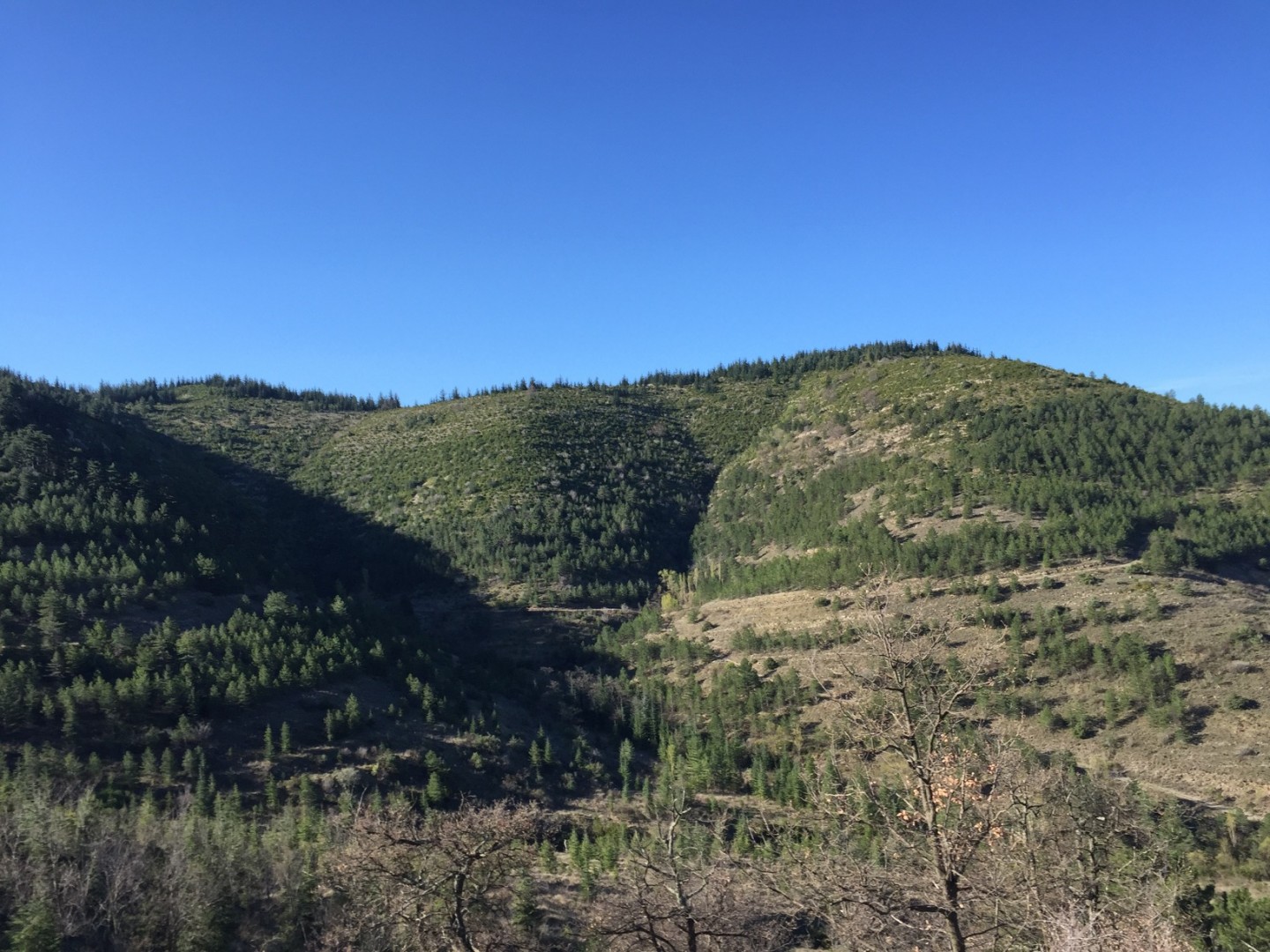
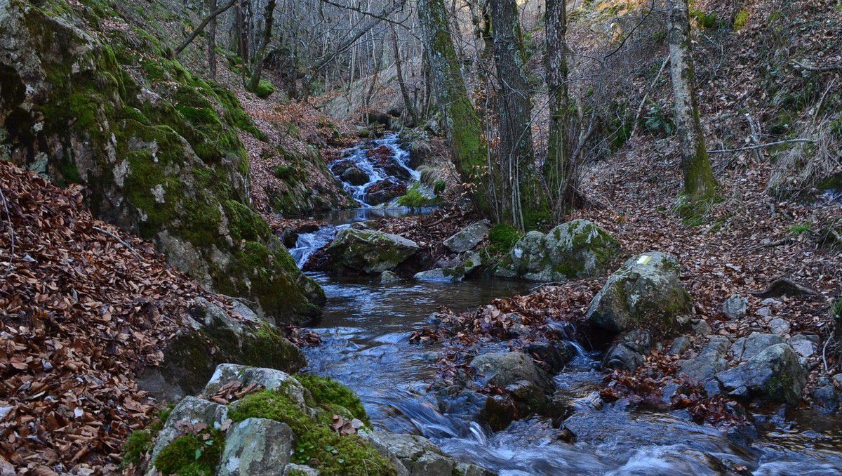
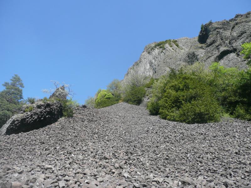
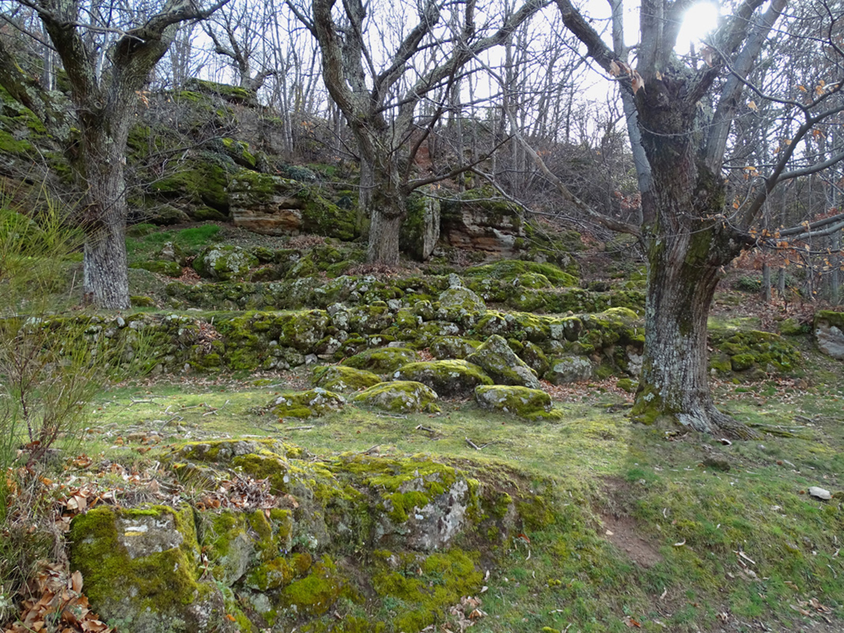
Beginning not far from Vesseaux, this route makes a loop around the locality of Le Taillé. The path meanders around several streams including the charming Claux stream.

Already more than 200,000 users!
Uphill
106m
Highest point
536m
Downhill
106m
Lowest point
442m
Route type
Loop
Download the map on your smartphone to save battery and rest assured to always keep access to the route, even without signal.
Includes IGN France and Swisstopo.
I indicate whether dogs are allowed or prohibited on this trail
All year
1 rating
Also enjoy:

Already more than 200,000 users!