Uphill
260m
Length
6km
Duration
2h
Elev gain
260m
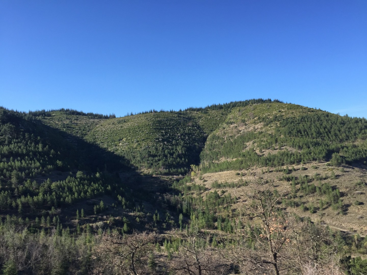
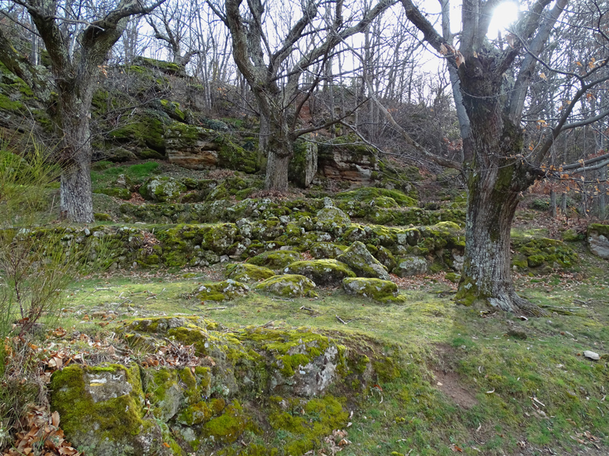
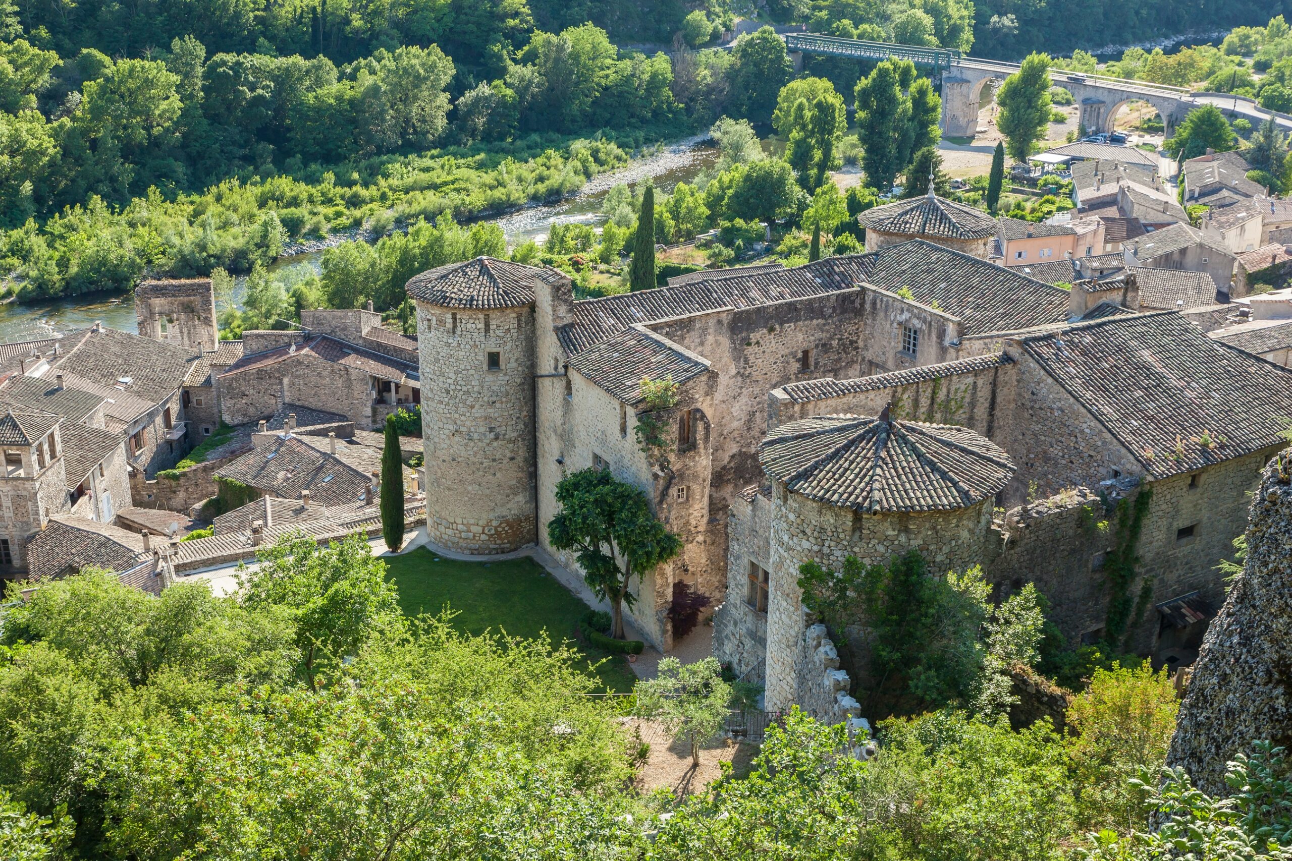
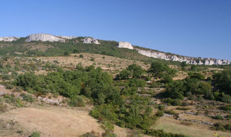
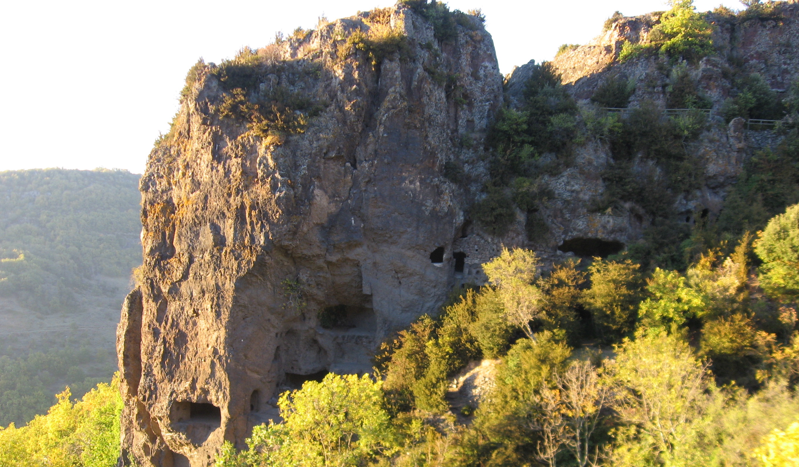
Here is an atypical walk located on the plateau of Coiron, in Saint-Gineis-en-Coiron. The route leads to the village of Les Balmes de Montbrun, a medieval troglodyte dwelling which is among the most accomplished in the region.

Already more than 200,000 users!
Uphill
260m
Highest point
603m
Downhill
260m
Lowest point
412m
Route type
There and back
Download the map on your smartphone to save battery and rest assured to always keep access to the route, even without signal.
Includes IGN France and Swisstopo.
I indicate whether dogs are allowed or prohibited on this trail
All year
3 ratings
Je voudrais savoir s'il y a assez de places pour 6 à 8 voitures au bord de la route? Sommes nous autorisés à nous garer?
Also enjoy:

Already more than 200,000 users!