Uphill
279m
France > Auvergne-Rhône-Alpes > Ardèche > Monts d'Ardèche Regional Natural Park
Length
6km
Duration
2h30min
Elev gain
279m
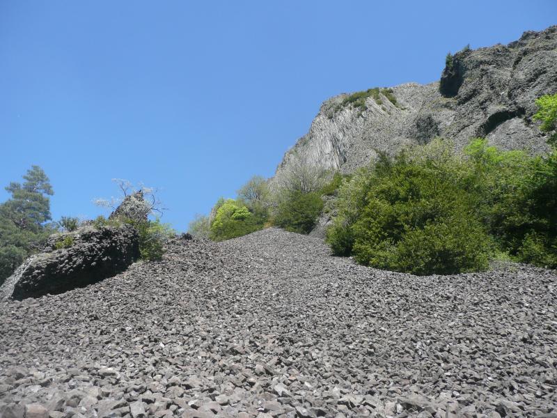
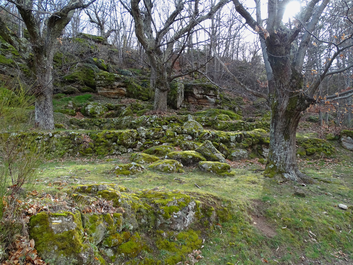
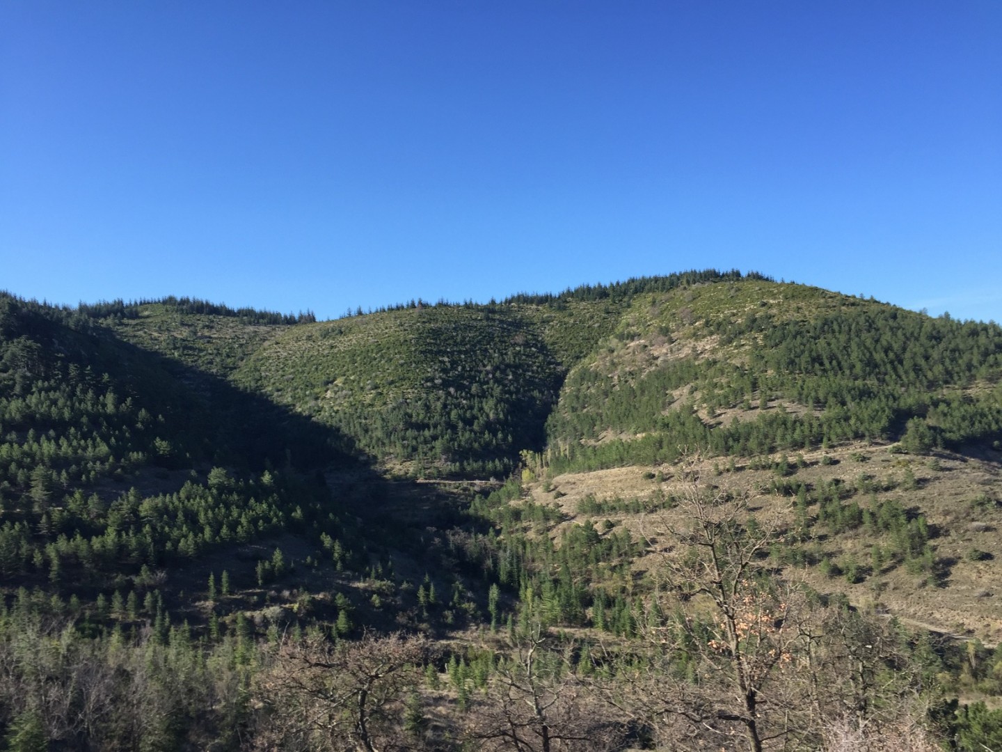
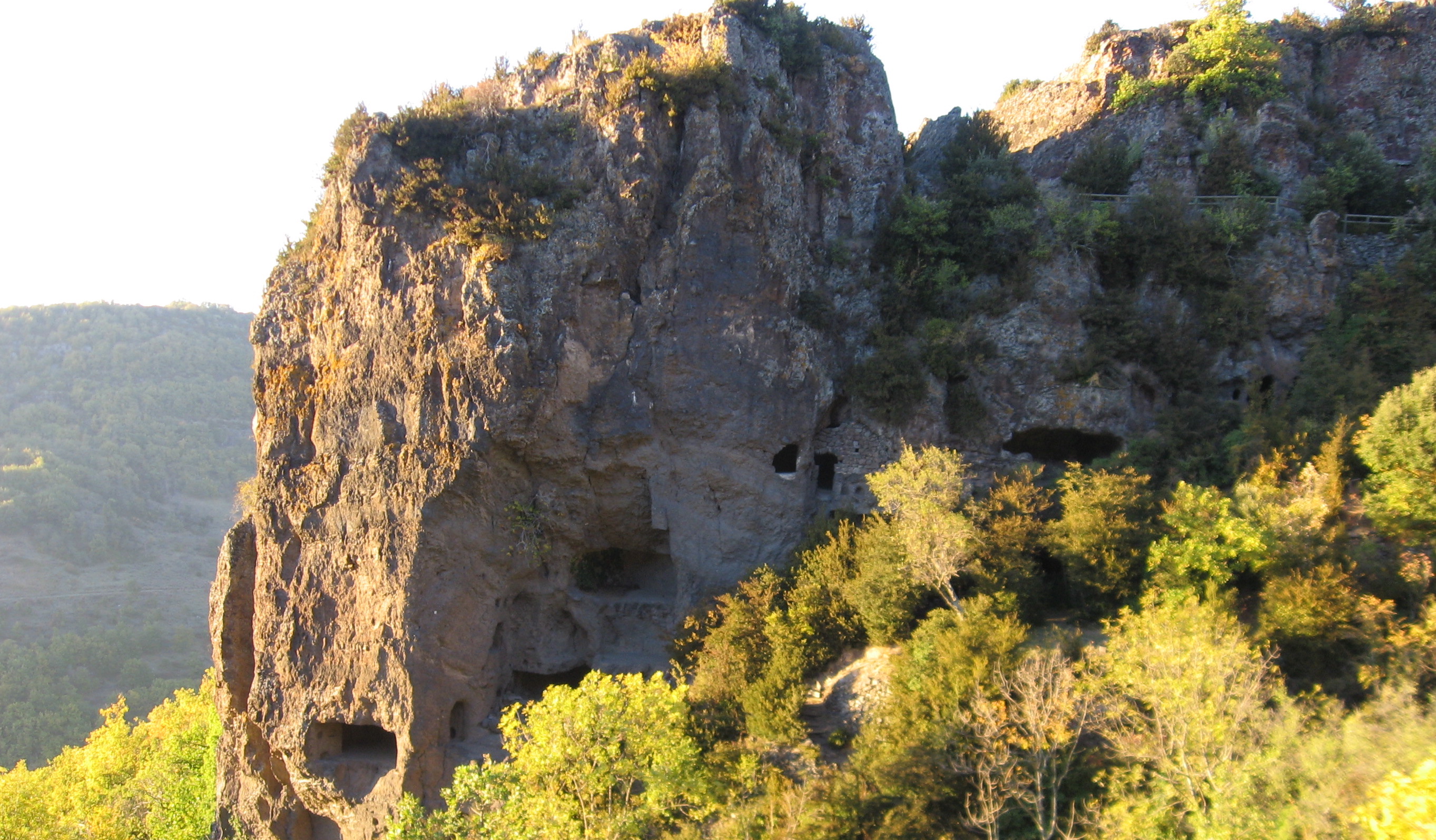
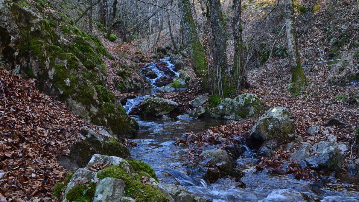
Pretty loop located between Blaizac and Intres, in the Ardèche mountains. The route crisscrosses around the Goumier stream and takes a little height to offer beautiful views of the surroundings.

Already more than 200,000 users!
Uphill
279m
Highest point
757m
Downhill
279m
Lowest point
550m
Route type
Loop
Download the map on your smartphone to save battery and rest assured to always keep access to the route, even without signal.
Includes IGN France and Swisstopo.
I indicate whether dogs are allowed or prohibited on this trail
All year
0 ratings
Also enjoy:

Already more than 200,000 users!